Woolsey Springs
Total Miles
25.0
Technical Rating
Best Time
Winter, Fall, Spring
Trail Type
High-Clearance 4x4 Trail
Accessible By
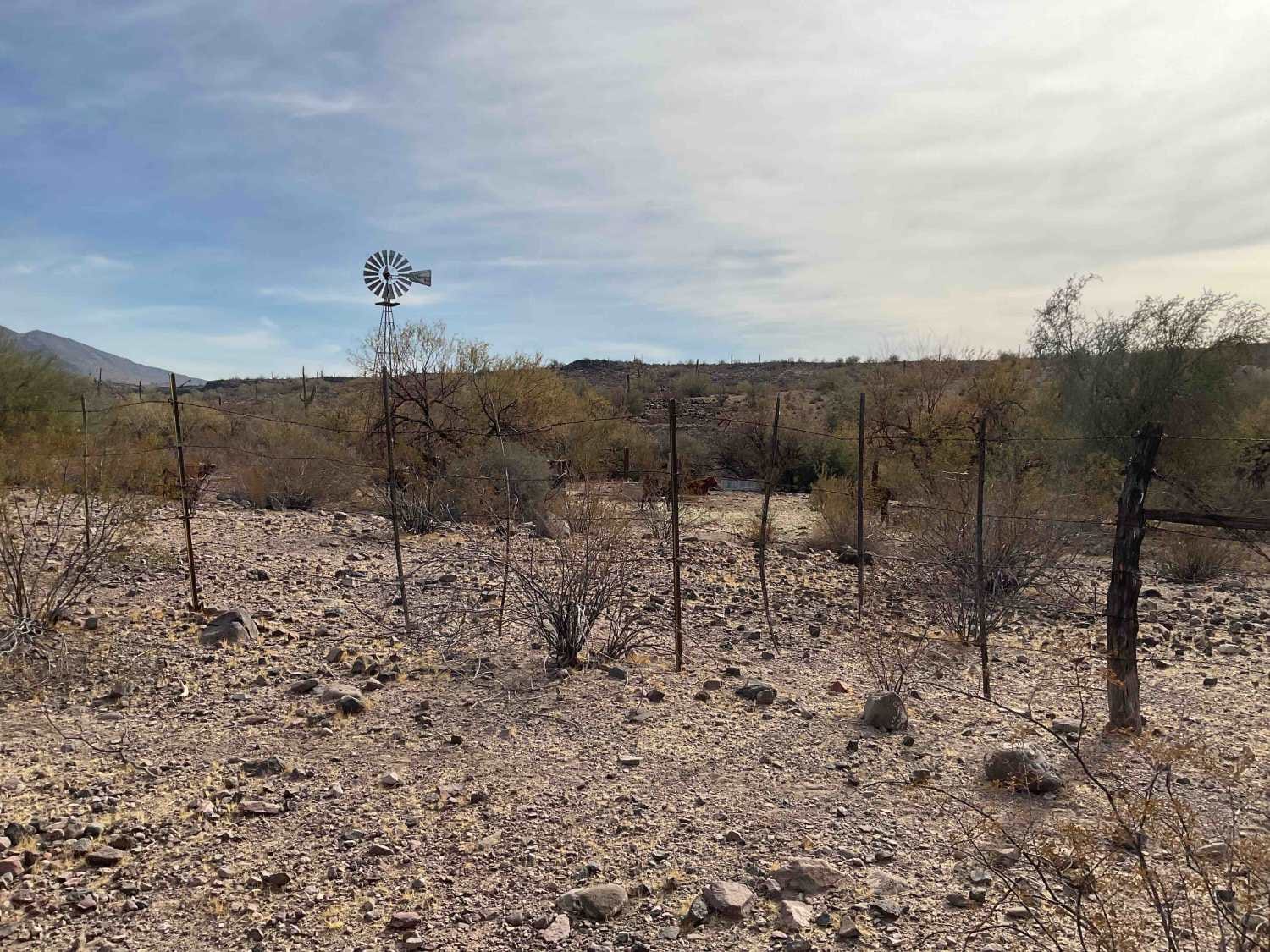
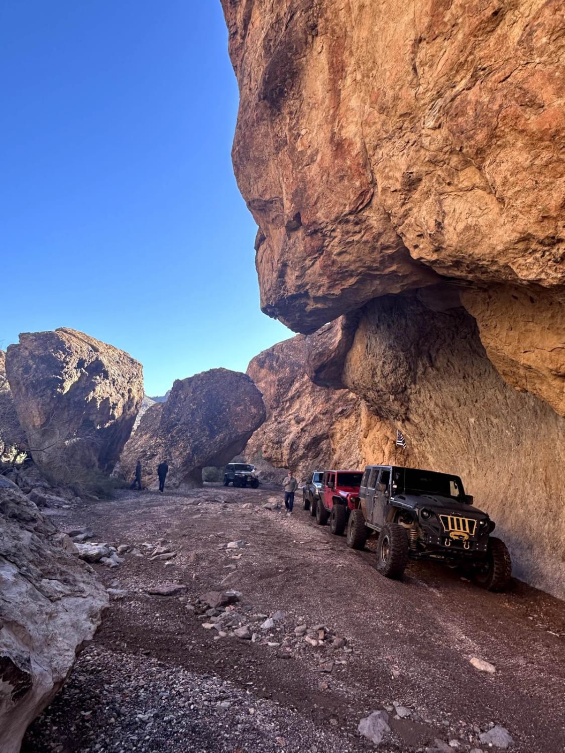
Trail Overview
The trail starts at Woolsey Wash to trail 54011, leading to Woolsey Springs and into the middle of two wildernesses', Signal Mountain Wilderness on the North side and Woolsey Peak Wilderness on the South. Low desert flora sparsely speckles the terrain with creosote bushes, mesquite trees, Saquaro's, and hedgehog cacti. If you watch closely, you can see more critter activity than you would think in this desolate desert! They could include jackrabbits, lizards, squirrels, coyotes, tarantulas, deer, quail, and cattle! High clearance vehicles only, the trail consists of dirt, sand, rock, and several rocky washes that change when flooding occurs. An Arizona State Trust Permit is required and is available for online request. Cell service is sporadic, so it is best to download maps. Along the trail are places to pull over for breaks as it winds between Signal Mt and Woolsey Peak, eventually coming out on Saddle Road, which leads to Aqua Caliente Road and back to Interstate 8.
Photos of Woolsey Springs

Difficulty
Be aware during monsoon season for flooding. The potential for washouts is high in this area.
Status Reports
Woolsey Springs can be accessed by the following ride types:
- High-Clearance 4x4
- SxS (60")
- ATV (50")
- Dirt Bike
Woolsey Springs Map
Popular Trails

Painted Rock Road
Secret Pass Technical Trail
The onX Offroad Difference
onX Offroad combines trail photos, descriptions, difficulty ratings, width restrictions, seasonality, and more in a user-friendly interface. Available on all devices, with offline access and full compatibility with CarPlay and Android Auto. Discover what you’re missing today!