2 trails found in Arizona
Which "harquahala peak" are you looking for?
We found 2 off-road trails in Arizona matching your search. Pick the one you're looking for below.
Harquahala Peak
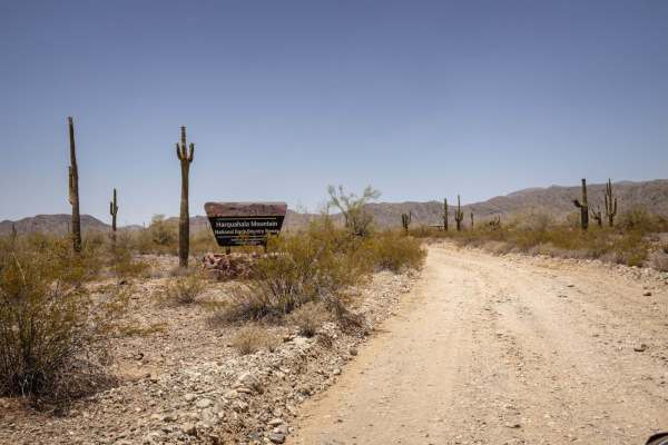
The Harquahala Peak Trail is one of the steepest and most iconic off-road climbs in central Arizona, ascending nearly 3,400 feet in just over 10 miles to the highest point in the Harquahala Mountains at 5,681 feet. Originally built for access to a historic solar observatory, the trail is one lane, r...
Learn more about Harquahala Peak
Arizona Peace Trail spur Salome to Harquahala Peak
This trail is relatively narrow, with many steep and loose climbs. The portion of this trail south of Salome Rd is better suited for dirt bikes, ATVs and UTVs. North of Salome Rd, you'll find scenic trails through the desert. There is one wash crossing that will require higher clearance to get throu...
Learn more about Arizona Peace Trail spur Salome to Harquahala Peak