Windmill Way
Total Miles
4.4
Technical Rating
Best Time
Spring, Summer, Fall, Winter
Trail Type
Full-Width Road
Accessible By
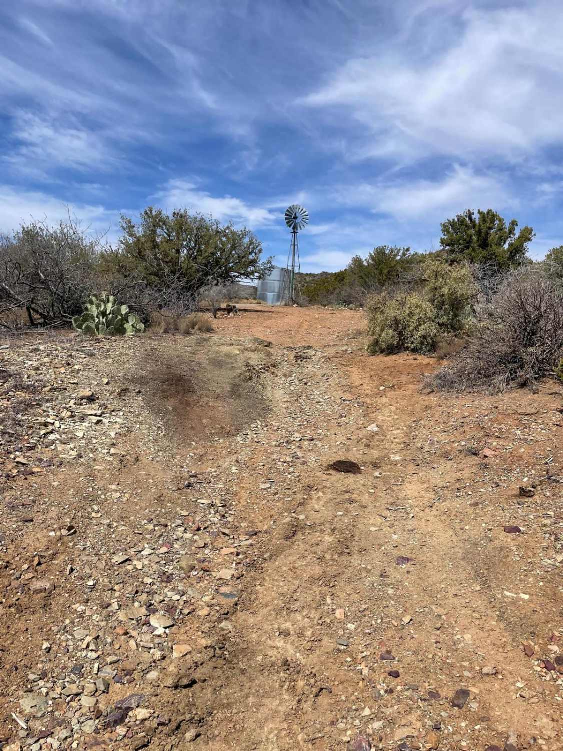
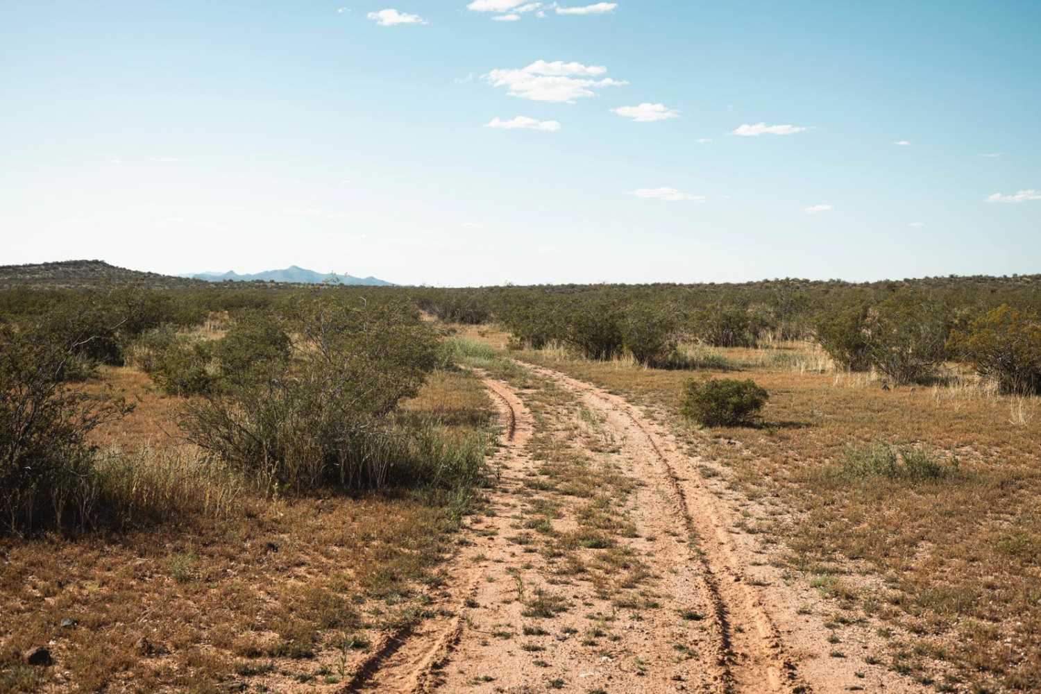
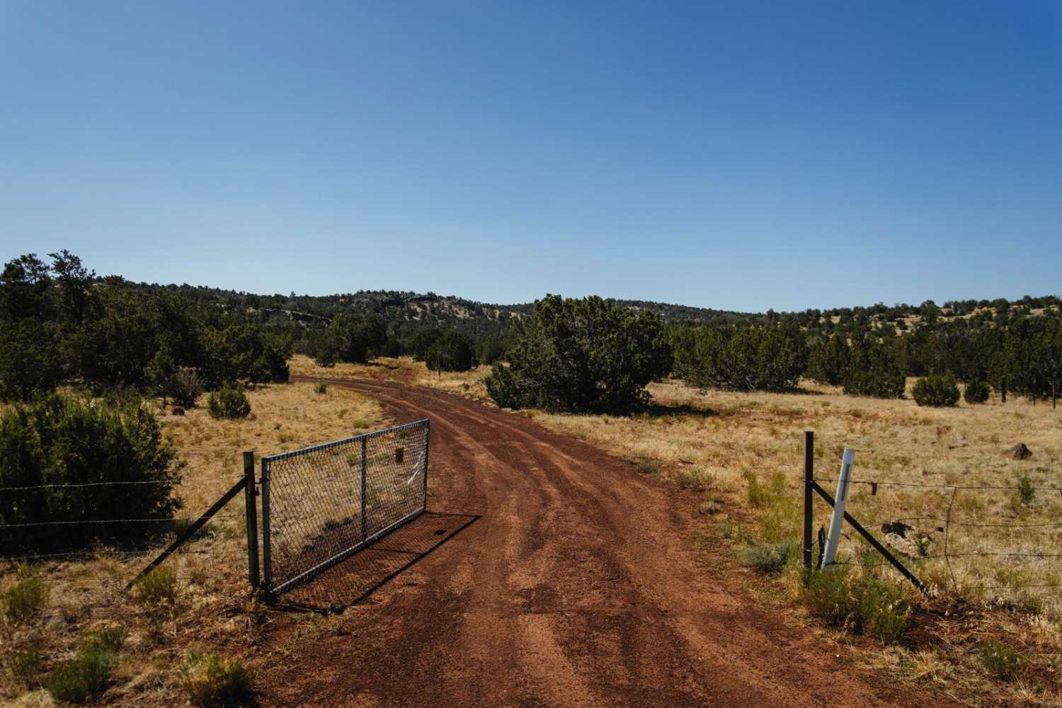
Trail Overview
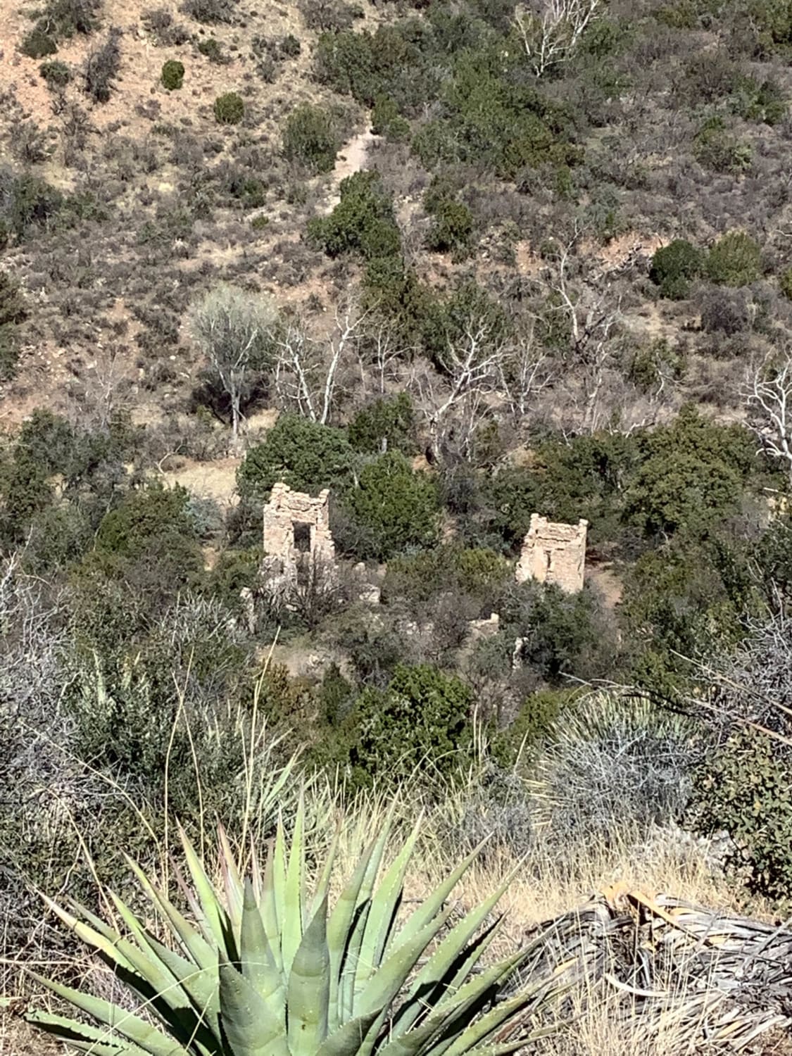
Windmill Way rolls through the foothills South and Southeast of Copper Mountain. This trail will take you from higher-elevation junipers to a lower-elevation desert landscape. The Western section of this trail has a dirt surface with a few rocky and rutted areas. There is a green gate you must open and close behind you. As you veer to the East, the trail becomes considerably more rocky with loose rocks and rock gardens peppered on the trail. Use caution, there is an area of this trail that has an abandoned mine shaft right on the side of the trail. After the mine shaft, the trail continues to be rocky and uneven. You will pass an operational windmill that pumps water for cattle. After passing the windmill, the trail turns back into a dirt surface with small ruts along the way. The trail will continue this way until you reach the intersection with Old Sycamore Road. This intersection marks the end of this trail.
Photos of Windmill Way

Difficulty
Expect an uneven, rutted, and rocky trail with short, steep grades.
Status Reports
Windmill Way can be accessed by the following ride types:
- High-Clearance 4x4
- SUV
- SxS (60")
- ATV (50")
- Dirt Bike
Windmill Way Map
Popular Trails
Possum Plus One
Pole Line Trail
Sybley Mansion Spur
The onX Offroad Difference
onX Offroad combines trail photos, descriptions, difficulty ratings, width restrictions, seasonality, and more in a user-friendly interface. Available on all devices, with offline access and full compatibility with CarPlay and Android Auto. Discover what you’re missing today!