Western Edge Camp Connector Trail
Total Miles
9.3
Technical Rating
Best Time
Spring, Fall, Winter
Trail Type
Full-Width Road
Accessible By
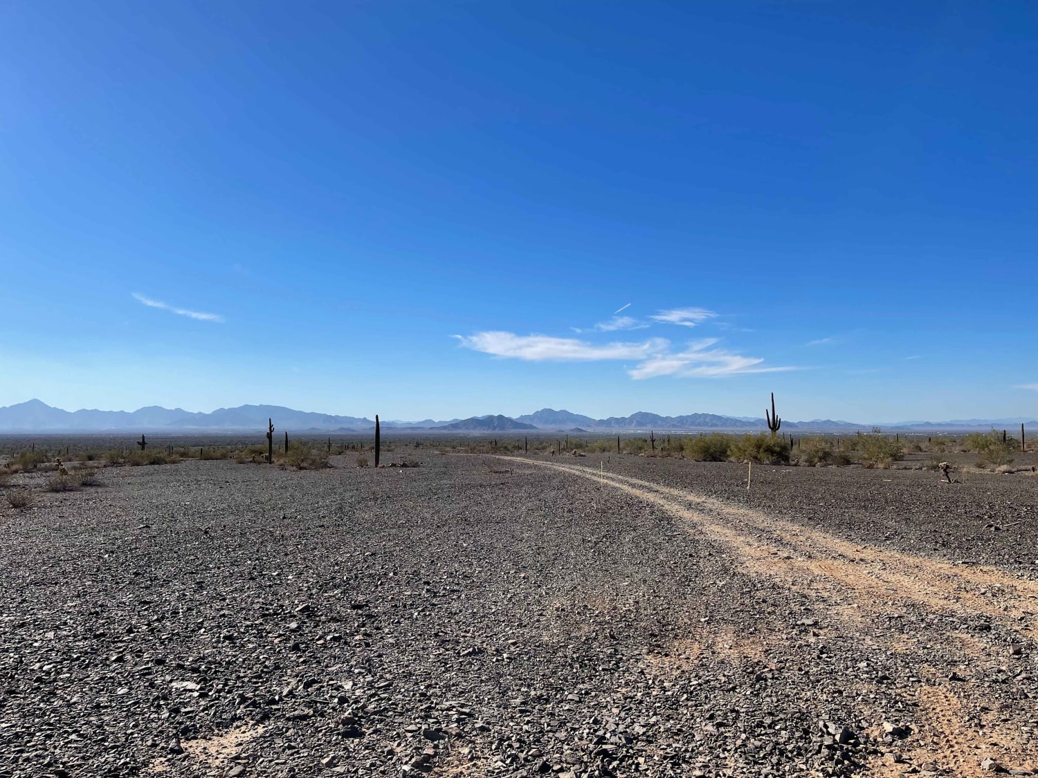
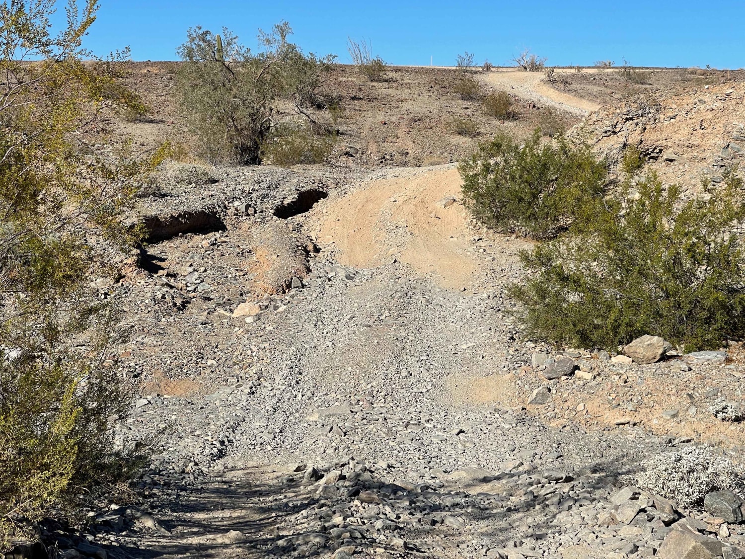
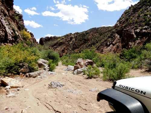
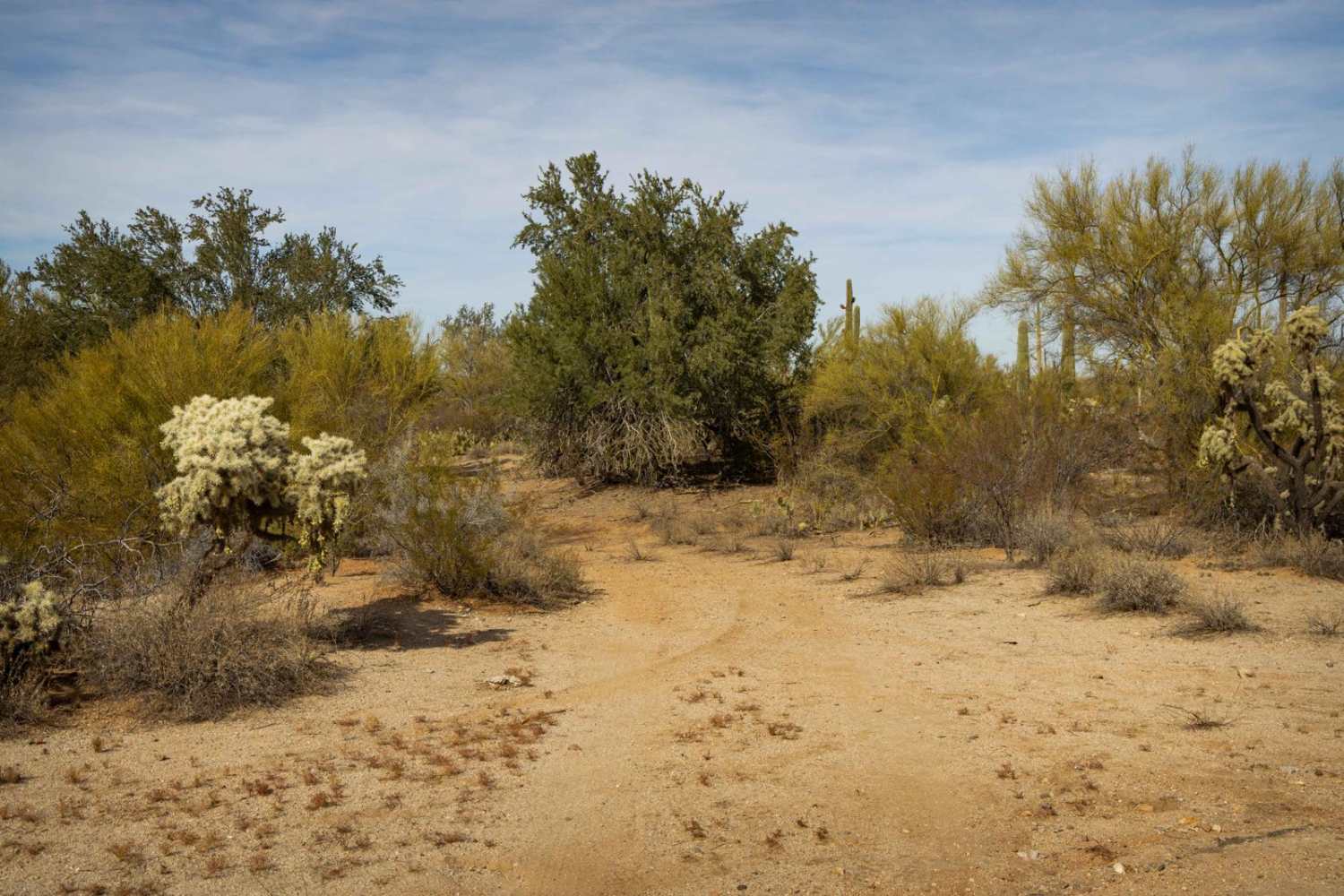
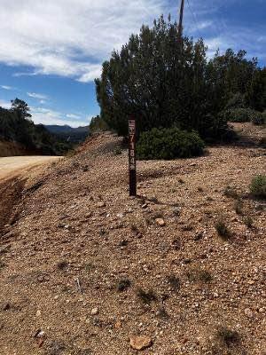
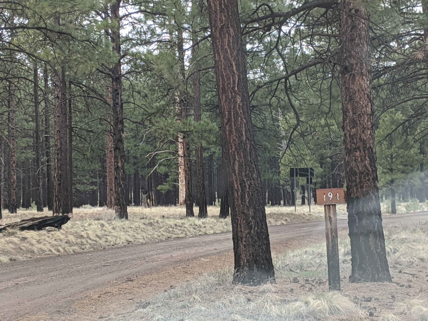
Trail Overview
This trail skirts along with the western foothills of the mountains and loops back to the Southeast side of Quartzite. There are some deep washouts, loose short hill climbs, off-camber sections, and flat-out silty rips. The NW section of the trail begins at the pole line Arizona Peace Trail Connector route and within the La Posa North long-term visitor BLM camping area closest to town. Please watch for 15mph speed limits and dust close to people's camp spots. 2 bars 5g service.
Photos of Western Edge Camp Connector Trail
Difficulty
Sharp rocks steep short climbs and some sandy silty sections could be difficult for some stock vehicles. There is one section that is quite off-camber if attacked poorly
Status Reports
Western Edge Camp Connector Trail can be accessed by the following ride types:
- High-Clearance 4x4
- SUV
- SxS (60")
- ATV (50")
- Dirt Bike
Western Edge Camp Connector Trail Map
Popular Trails
Iron Valley South
Pumpkin Ctr Road
The onX Offroad Difference
onX Offroad combines trail photos, descriptions, difficulty ratings, width restrictions, seasonality, and more in a user-friendly interface. Available on all devices, with offline access and full compatibility with CarPlay and Android Auto. Discover what you’re missing today!