West Swift Trail 366
Total Miles
6.6
Technical Rating
Best Time
Spring, Summer, Fall
Trail Type
Full-Width Road
Accessible By
Trail Overview
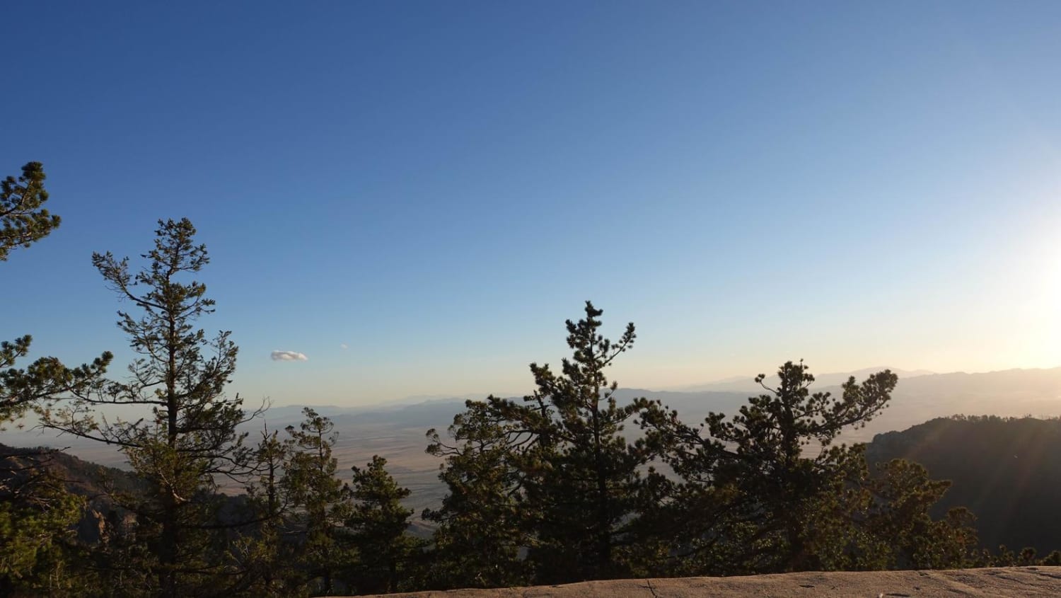
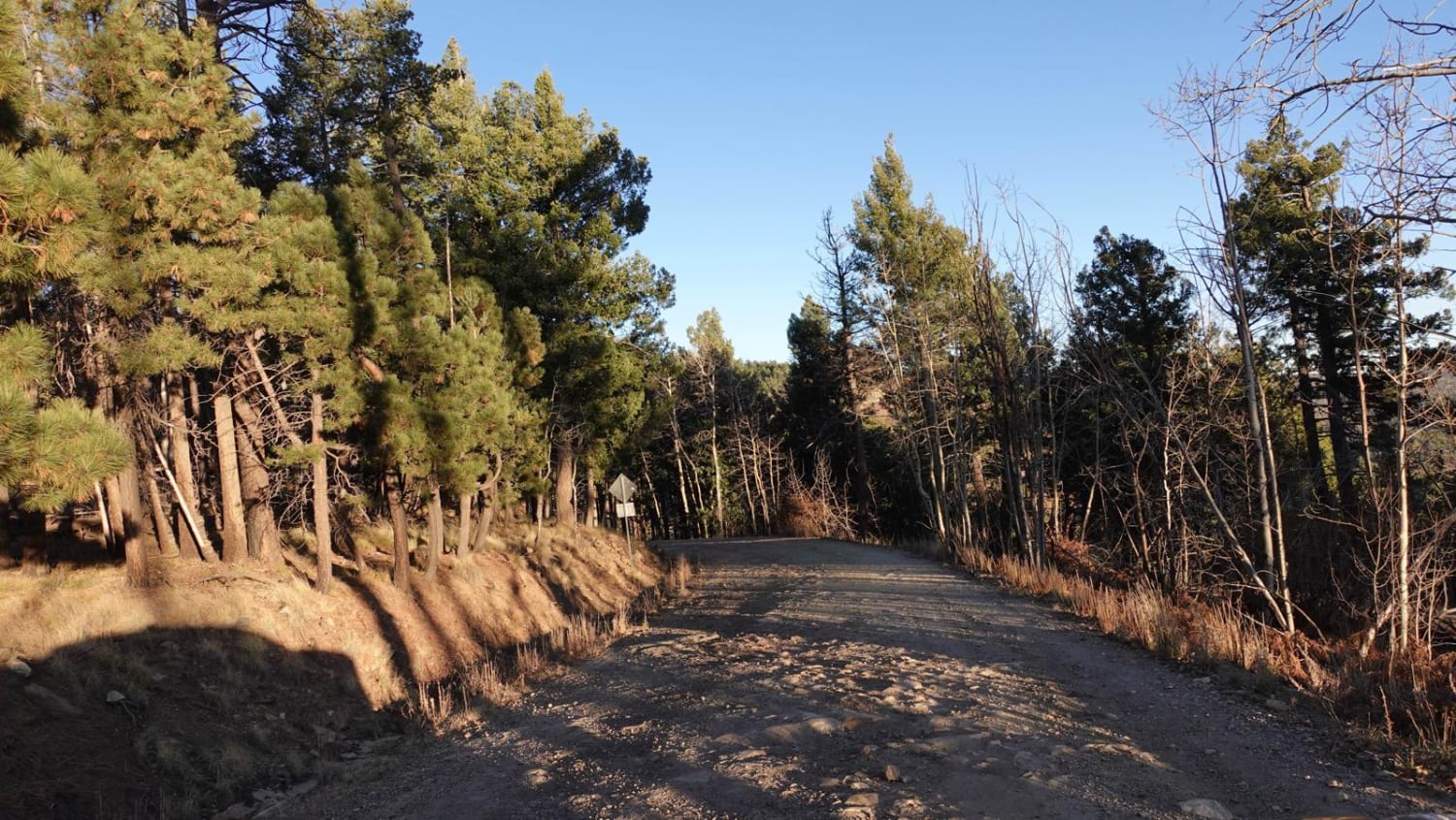
The West Swift Trail is the route to the top of Clark Peak. This 6-mile road is a rough dirt road with a few rock ledges and potholes. It is wide in many areas and most stock SUVs in 2-wheel drive can do it when the weather is good. The road can become challenging in rain and snow. There are several offshoots to hiking trailheads as well as 2 or 3 off-road trails on the way up. The end of the road takes you to the Columbine camping area and the trailhead to the Old Columbine off-road trail (which is way harder). The trail climbs to 9,620 feet with incredible views of the desert floor and several places to pull off and take pictures. This is a great trail for family or friends who don't want to go hard on a trail but still want to get away for a while.
Photos of West Swift Trail 366
Difficulty
It is wide in many areas and most stock SUVs in 2WD can do it when the weather is good. The road can become challenging in rain and snow. This is a wide shelf road in spots with exposure, but nothing scary.
Status Reports
West Swift Trail 366 can be accessed by the following ride types:
- High-Clearance 4x4
- SUV
- Dirt Bike
West Swift Trail 366 Map
Popular Trails
BLM Route 7020

Hunter Hill Camp

Little Connector

Yellow Route Connection
The onX Offroad Difference
onX Offroad combines trail photos, descriptions, difficulty ratings, width restrictions, seasonality, and more in a user-friendly interface. Available on all devices, with offline access and full compatibility with CarPlay and Android Auto. Discover what you’re missing today!