US 95 to Muggins Mountain Trails access Route
Total Miles
14.9
Technical Rating
Best Time
Spring, Summer, Fall, Winter
Trail Type
Full-Width Road
Accessible By
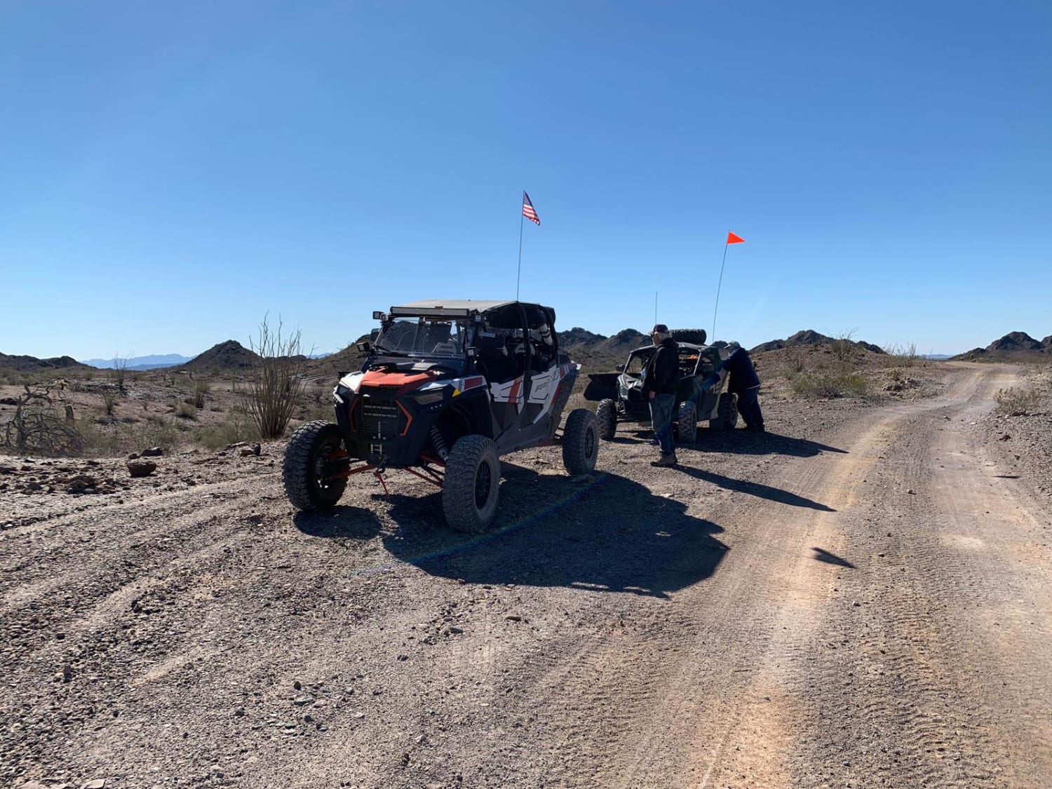
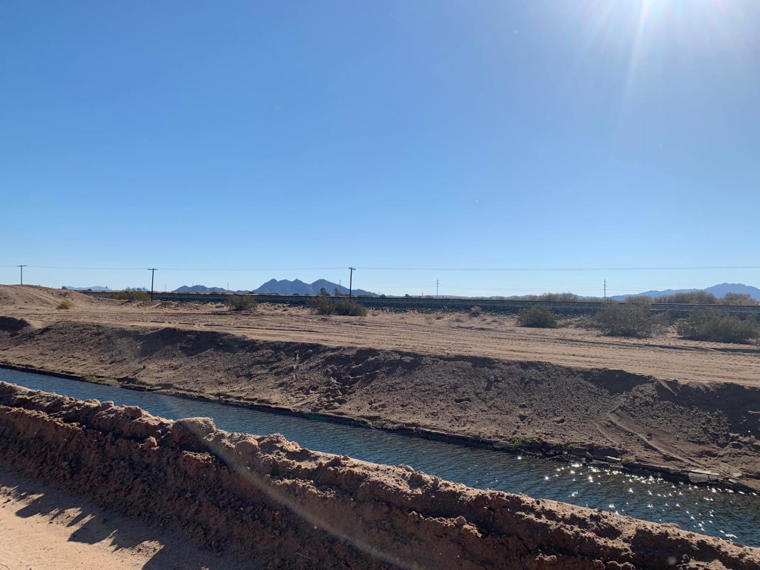
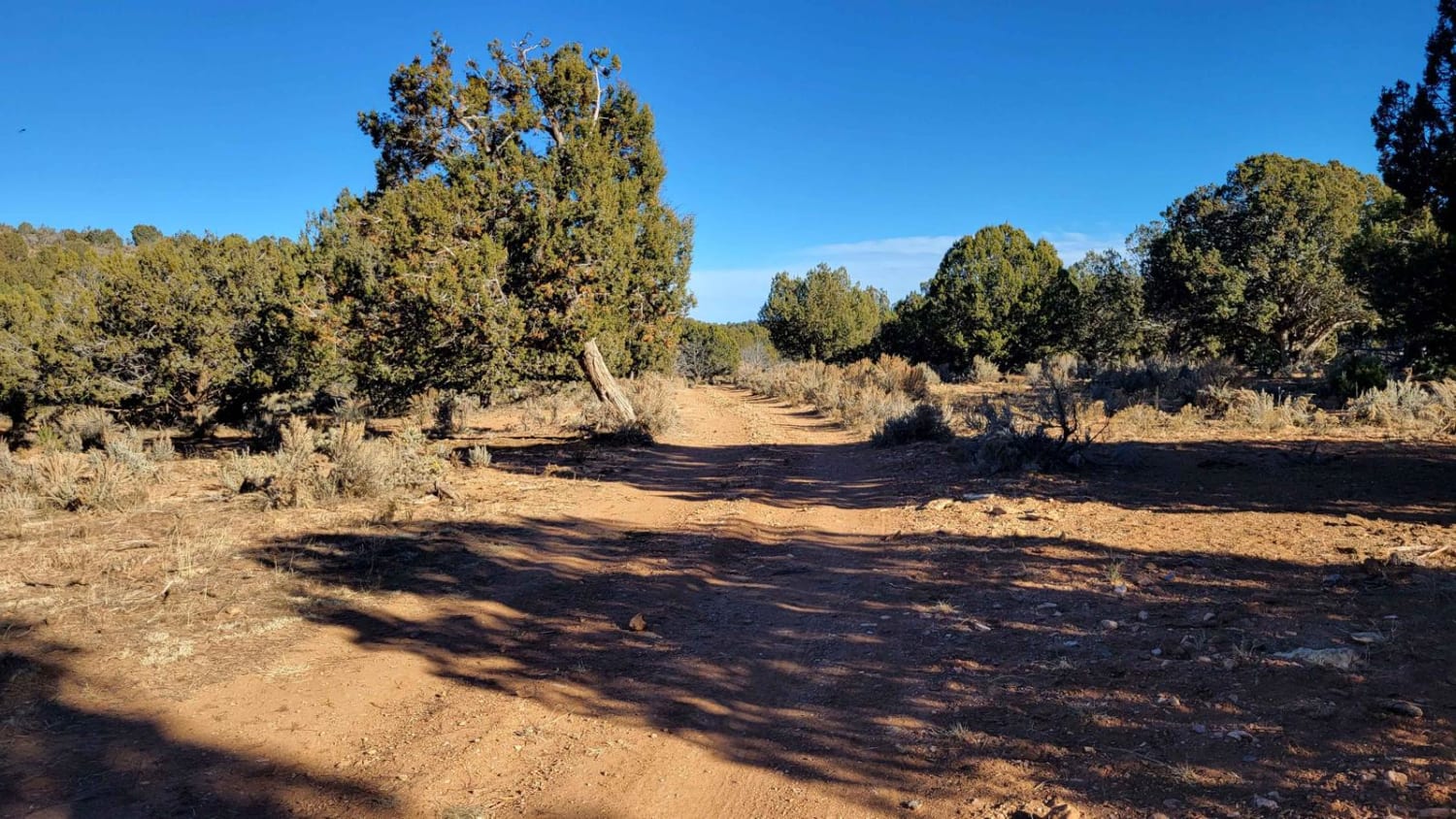
Trail Overview
This is an easy access route from US 95 to the 3 Muggins Mountain Trails: Muggins Mountain West, Muggins Mountain Mid West, and Muggins Mountain East. This trek, if not previously mapped out, can be confusing and time-consuming as some of the supposedly "through roads" can be flooded and impassible at various times during the year. This scenic access route transverses canal roads and many farm fields planted with vegetables.
Photos of US 95 to Muggins Mountain Trails access Route
Difficulty
Smooth, wide, level gravel roads with ample room to pass with speeds up to 50mph..
Status Reports
US 95 to Muggins Mountain Trails access Route can be accessed by the following ride types:
- High-Clearance 4x4
- SUV
- SxS (60")
- ATV (50")
- Dirt Bike
US 95 to Muggins Mountain Trails access Route Map
Popular Trails

Metal Masher Boulder Wash Spur

Ye051/308 Connector
Buffalo Ranch to Grand Canyon North Rim
The onX Offroad Difference
onX Offroad combines trail photos, descriptions, difficulty ratings, width restrictions, seasonality, and more in a user-friendly interface. Available on all devices, with offline access and full compatibility with CarPlay and Android Auto. Discover what you’re missing today!