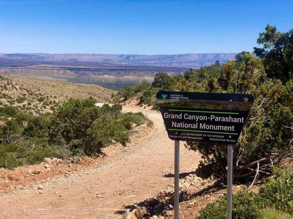
Snap Point Road BLM 1012
Total Miles
19.5
Technical Rating
Best Time
Spring, Summer, Fall
Trail Type
Full-Width Road
Accessible By
Trail Overview
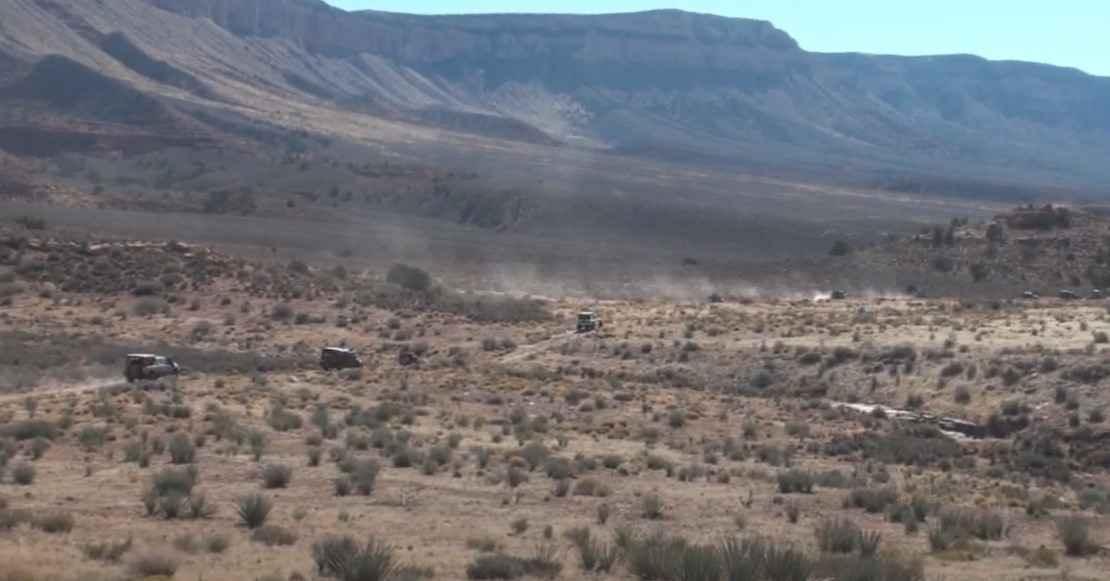
Snap Point Road BLM 1012 is a 19.1-mile point-to-point trail rated 3 of 10 located within the Grand Canyon-Parashant National Monument. Snap Point Road is the only way to access Snap Point BLM 1680. The approach from either the north or the east is relatively open using the single-track road. As the trail runs through Snap Canyon the trail narrows. The BLM recommends ATVs/UTVs or short-wheelbase, lifted 4x4s. However, with care, full-size vehicles can complete this trail. As you approach the top of the canyon, the trail is the tightest with tight turns. The trail consists of packed dirt and rock which can be rough at times. This is one of the most remote areas within the National Monument bordering Grand Canyon National Park. There are no services of any kind, and there's a potential of not seeing another soul for a week or more. This road will generally be closed during the winter and may be unpassable during and for days after spring or winter rain storms.
Photos of Snap Point Road BLM 1012
Difficulty
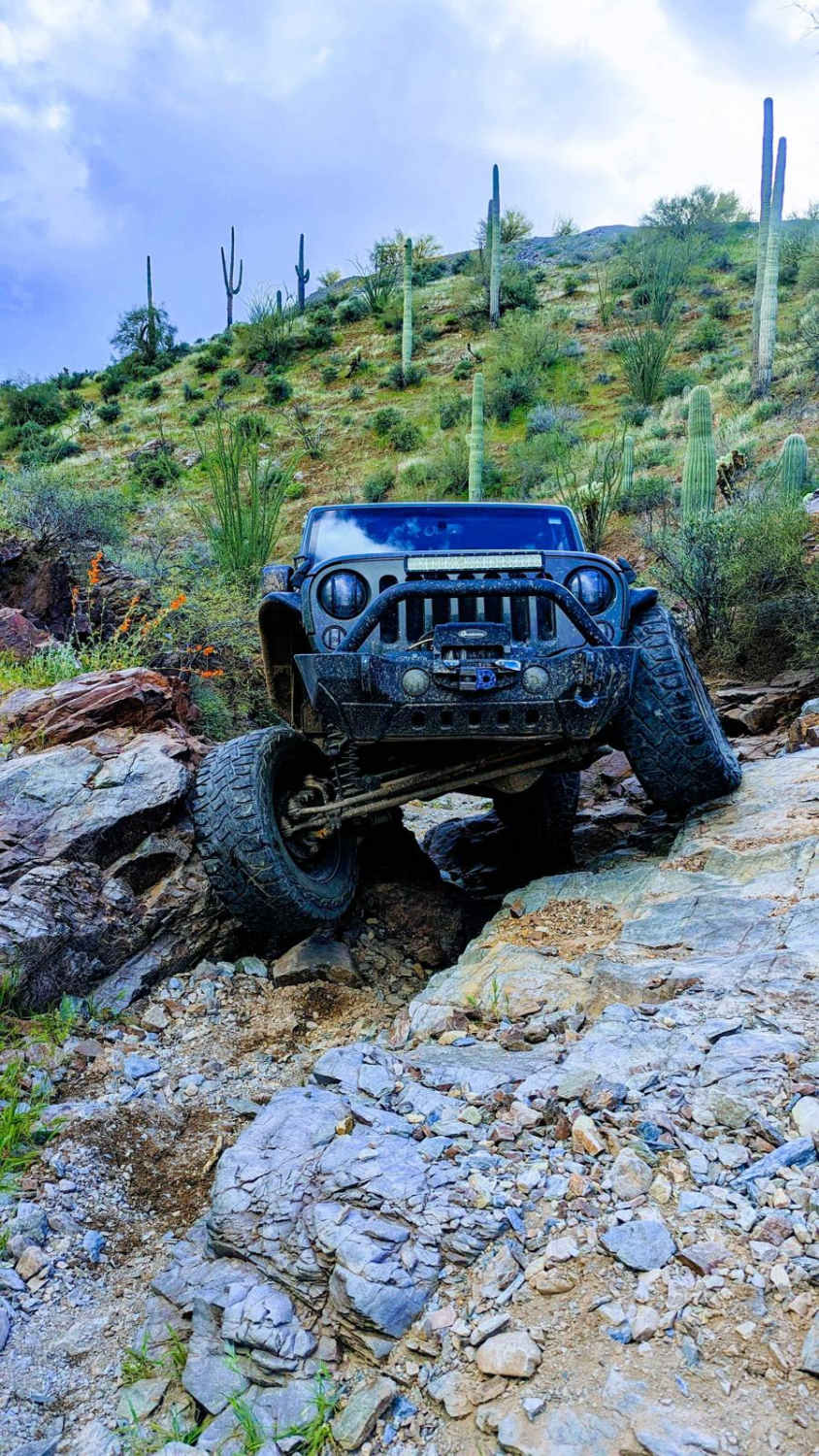
The trail consists of loose rocks, dirt, sand, and some slick rock surfaces. Mud holes are possible, but there are no steps higher than 12 inches. 4WD may be required and aggressive tires are a plus.
Status Reports
Snap Point Road BLM 1012 can be accessed by the following ride types:
- High-Clearance 4x4
- SUV
- SxS (60")
- Dirt Bike
Snap Point Road BLM 1012 Map
Popular Trails

Snake Gulch - FR642
Jack Handle

Hog Ridge - Trail 4859

Pakoon Basin - BLM 1007
The onX Offroad Difference
onX Offroad combines trail photos, descriptions, difficulty ratings, width restrictions, seasonality, and more in a user-friendly interface. Available on all devices, with offline access and full compatibility with CarPlay and Android Auto. Discover what you’re missing today!