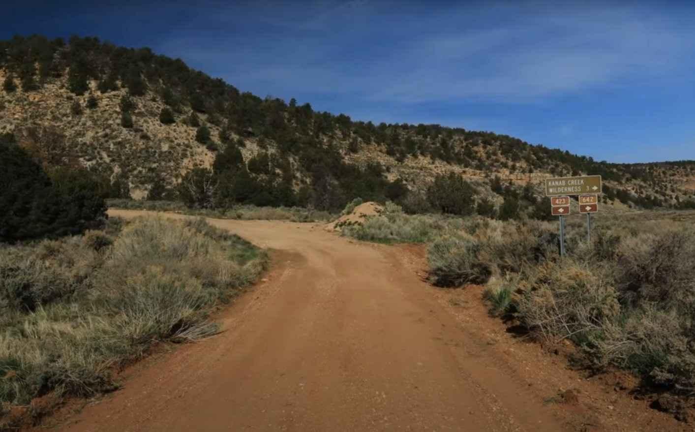
Snake Gulch - FR642
Total Miles
3.0
Technical Rating
Best Time
Spring, Summer, Fall, Winter
Trail Type
Full-Width Road
Accessible By
Trail Overview
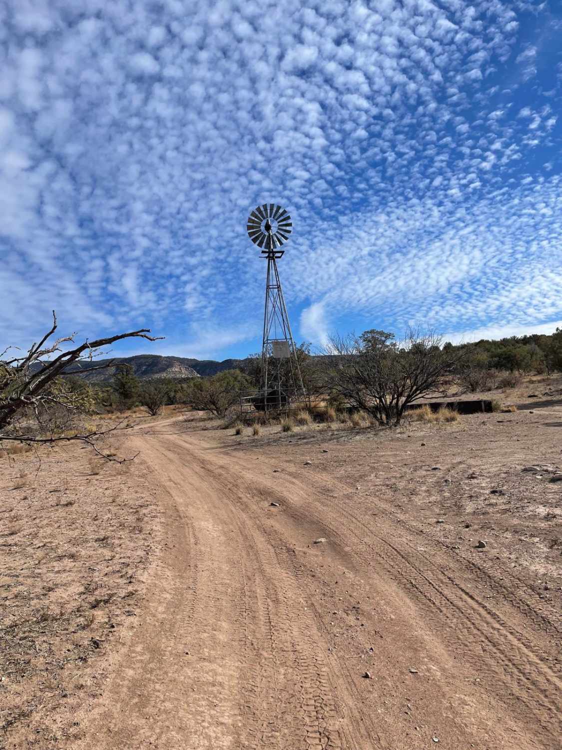
FR642 - Snake Gulch is a 3-mile (6-round trip) out-and-back trail rated 3 of 10 located within the Kaibab National Forest, North Kaibab Ranger District. The trail follows the basin of Oak Canyon until it drains into Snake Gulch. The trail is mostly hard-packed dirt (or mud when it rains) and is single-vehicle width. This is a destination trail that ends at the eastern end of the Snake Gulch Wilderness Area. Snake Gulch provides an array of prehistoric paintings and etchings. These colorful images represent thousands of years of human history as they left a visual record of those who once occupied this area. Snake Gulch has more than 8 miles of petroglyphs, pictographs, ancient ruins of dwellings as well as signs of more recent inhabitants. There is a hiker's maze at the east end that marks the beginning of the wilderness area. Just prior to the maze, there is an old stone house believed to have been built in the late 1800s. Once entering the wilderness, the hike is about 3 miles to the first set of rock art. The rock art is spectacular in Snake Gulch, probably one of the best collections of pictographs in the state. Most of it is very old too, Anasazi Basketmaker and Fremont from the same period. Some newer images, from Pueblo III times, and even the occasional Paiute drawing, but the bulk (and the draw) are the very large, ancient pictographs. Red was a favorite color for the ancient inhabitants of Snake Gulch. Ruins are also found in Snake Gulch, and the sharp eye can usually spot the remains of some cliff dwellings as you get closer to Table Rock. Those wishing to hike the gulch should find plenty of resources with coordinates for sites. Kaibab National Forest borders both the north and south rims of the Grand Canyon, in north-central Arizona consisting of 1.6 million acres divided into three sections. The North Kaibab Ranger District is located exclusively north of the Grand Canyon on the Kaibab Plateau. The Kaibab Plateau is an island surrounded by lower elevations. The plateau, with elevation up to 9,215 feet (2,800 m) is bordered on the south by the Grand Canyon, on the east and the west by tributary canyons of the Colorado River, and on the North by tiers of uplifted cliffs. Cell phone service is intermittent or nonexistent throughout the area. The nearest fuel service is located in Jacobs Lake or Fredonia. Full services are located in Fredonia or Kanab, Utah.
Photos of Snake Gulch - FR642

Difficulty
Trail consisting of loose rocks, dirt, and sand with some slickrock surfaces, mud holes possible, no steps higher than 12". 4WD may be required, aggressive tires a plus.
History
President Theodore Roosevelt created the Grand Canyon Game Preserve in 1906. The game preserve which includes 612,736 acres of the Kaibab National Forest, is "set aside for the protection of game animals and birds," and is "to be recognized as a breeding place therefore." In 1908, the Forest Reserve north of the Grand Canyon, including the game preserve, was renamed Kaibab National Forest.
Status Reports
Snake Gulch - FR642 can be accessed by the following ride types:
- High-Clearance 4x4
- SUV
- SxS (60")
- ATV (50")
- Dirt Bike
Snake Gulch - FR642 Map
Popular Trails
AZPT The Solar Field to Red Raven
Muggins Mountain East Red Bluff
The onX Offroad Difference
onX Offroad combines trail photos, descriptions, difficulty ratings, width restrictions, seasonality, and more in a user-friendly interface. Available on all devices, with offline access and full compatibility with CarPlay and Android Auto. Discover what you’re missing today!