Snake Gulch Rim - BLM191
Total Miles
3.4
Technical Rating
Best Time
Spring, Summer, Fall, Winter
Trail Type
Full-Width Road
Accessible By
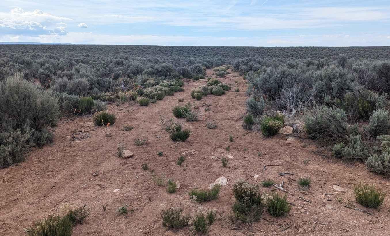
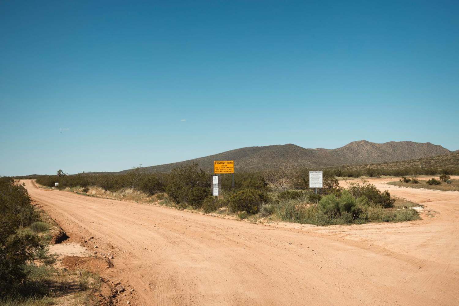
Trail Overview
Snake Gulch Rim is a 3.4-mile point-to-point trail rated 3 of 10 located in Arizona's Coconino County. This trail can be run in either direction but is best run from the south end after visiting Gunsight Point. Don't blink or you will miss the trailhead. This trail is fairly flat with narrow sections. There are a few sections with rocks embedded in the trail, but overall, it is an easy track to run. Starting on the south end you will feel like you are following an old wagon trail from the 1800s across the plateau. Then all of a sudden the Snake Gulch Wilderness Area is about 1000' below. In the 1880s this canyon was called Shinumo Canyon but was renamed on historical maps in the 1900s to Snake Gulch. The trail then turns north and follows the rim of the canyon on the boundary of the wilderness area. Just about any place you stop offers great views of the Snake Canyon below as well as the Kolab National Forest on the opposite rim. This natural drainage from the Kaibab Plateau flows into the Kanab Creek which then travels another 20 miles down to the Colorado River. The valley below is of historical significance as there are a dozen or so petroglyph sites in the canyon which can only be reached on foot. Dispersed camping is allowed along the rim area but there are little to no shady areas. A large Juniper grove is located just east of the northern trailhead that offers shade as well as some respite from the summer sun. This area is accessible year-round and is not subject to the October to May closures of the Grand Canyon's north rim. The area does get very hot in the summer. The trail is a remote area where the likelihood of seeing other people is very low. There is no cell service away from Fredonia. Food and fuel can be found in Fredonia or a little further north in Kanab, Utah.
Photos of Snake Gulch Rim - BLM191

Difficulty
Trail consisting of loose rocks, dirt, and sand with some slick rock surfaces, mud holes possible, no steps higher than 12". 4WD may be required, aggressive tires are a plus.
Status Reports
Snake Gulch Rim - BLM191 can be accessed by the following ride types:
- High-Clearance 4x4
- SUV
- SxS (60")
- ATV (50")
- Dirt Bike
Snake Gulch Rim - BLM191 Map
Popular Trails
Date Creek Ranch Road
Little Coyote

Iron Mine Draw FR-196
Thomas Point Connector
The onX Offroad Difference
onX Offroad combines trail photos, descriptions, difficulty ratings, width restrictions, seasonality, and more in a user-friendly interface. Available on all devices, with offline access and full compatibility with CarPlay and Android Auto. Discover what you’re missing today!