Smiley Rock Trail
Total Miles
21.9
Technical Rating
Best Time
Spring, Summer, Fall
Trail Type
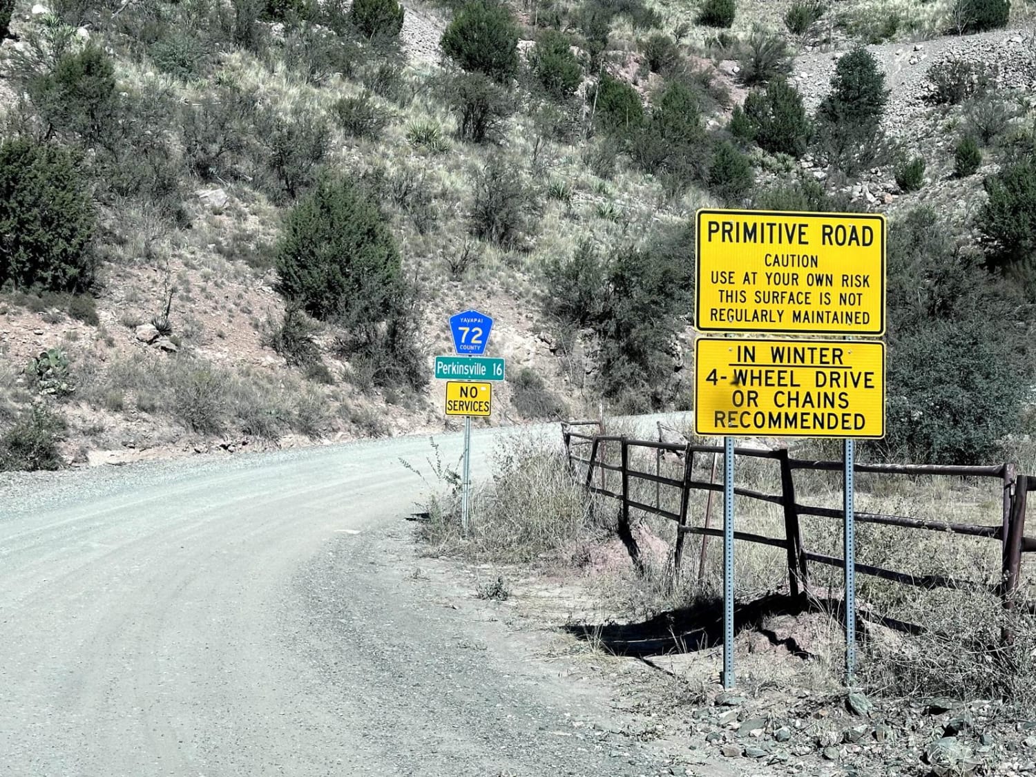
High-Clearance 4x4 Trail
Accessible By
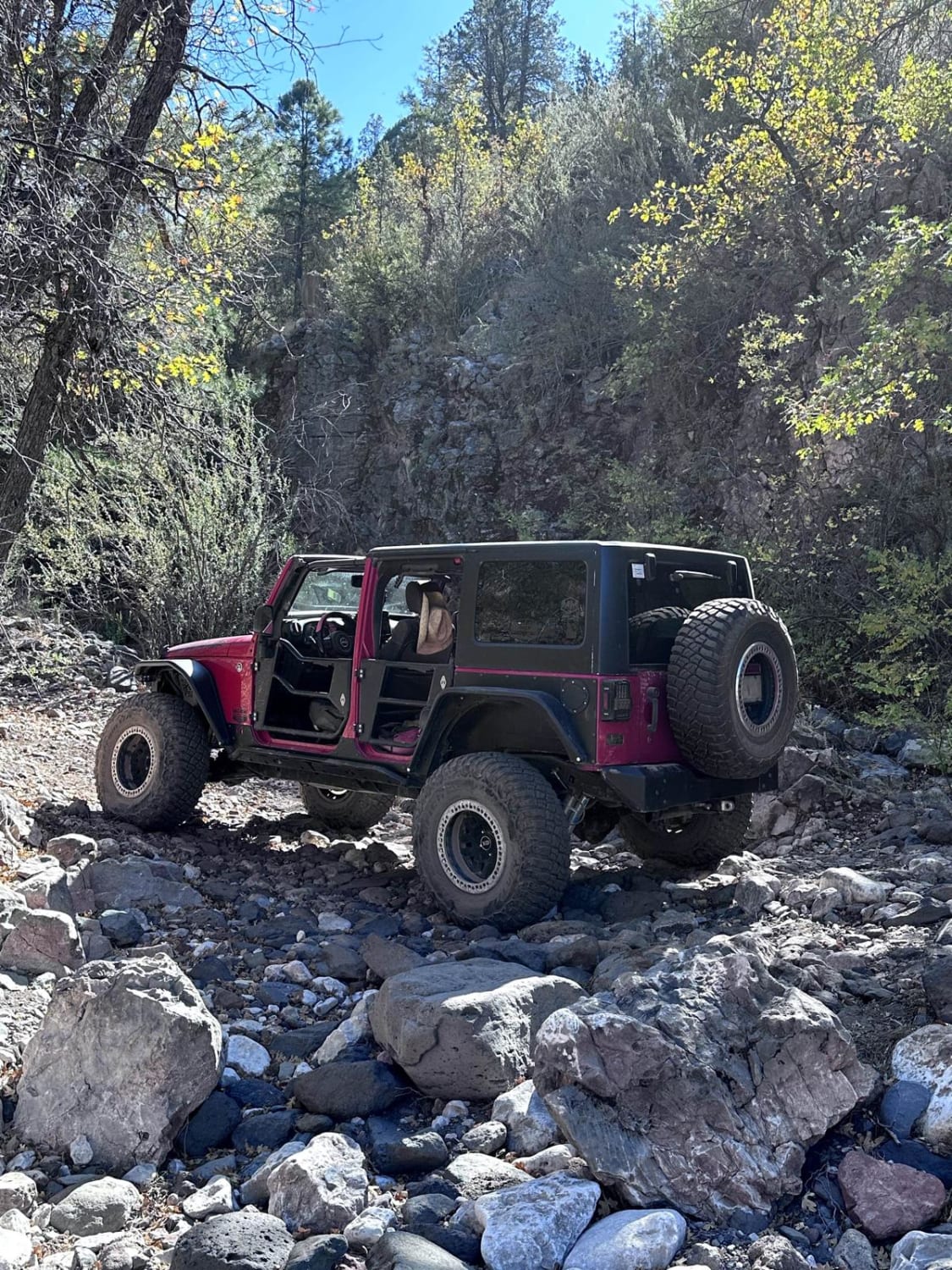
Trail Overview
This 21.9-mile point-to-point trail begins at the Gold King Mine Museum and Ghost Town and circles around the Woodchute Wilderness area. The first 6.5 miles run along a maintained road giving sweeping views of the Verde Valley. From 6.5 to 13.5 miles, the trail goes down to single-vehicle-width with very few turnouts and blind corners. Keep speed down to avoid accidents with any oncoming vehicles. At 13.5 miles, you come up to large power lines and a power transfer station. This is the beginning of Martin Canyon and becomes more difficult. The Smiley Rock is at approximately 16 miles into the trail.
Photos of Smiley Rock Trail
Difficulty
The majority of this trail is rated 2 to 3. There is a series of rock gardens between 17.5 to 19 miles with boulders up to 2 feet in height which must be negotiated, giving this trail its 5 rating.
Status Reports
Smiley Rock Trail can be accessed by the following ride types:
- High-Clearance 4x4
- SxS (60")
- ATV (50")
- Dirt Bike
Smiley Rock Trail Map
Popular Trails

Tinajas Altas Pass Loop
Palomas Trail - 083

South of Gila River
Mount Trumbull Interconnect
The onX Offroad Difference
onX Offroad combines trail photos, descriptions, difficulty ratings, width restrictions, seasonality, and more in a user-friendly interface. Available on all devices, with offline access and full compatibility with CarPlay and Android Auto. Discover what you’re missing today!