Sheep Gulch
Total Miles
2.1
Technical Rating
Best Time
Spring, Summer, Fall, Winter
Trail Type
Full-Width Road
Accessible By
Trail Overview
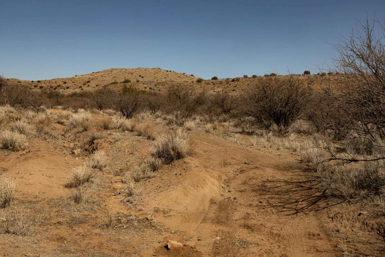
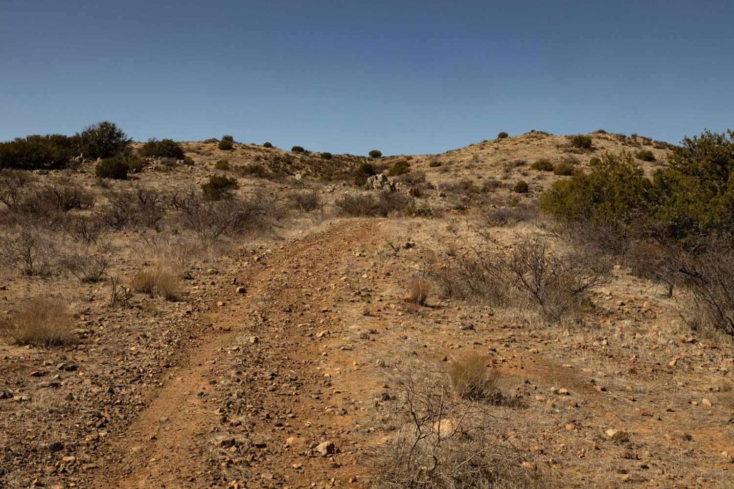
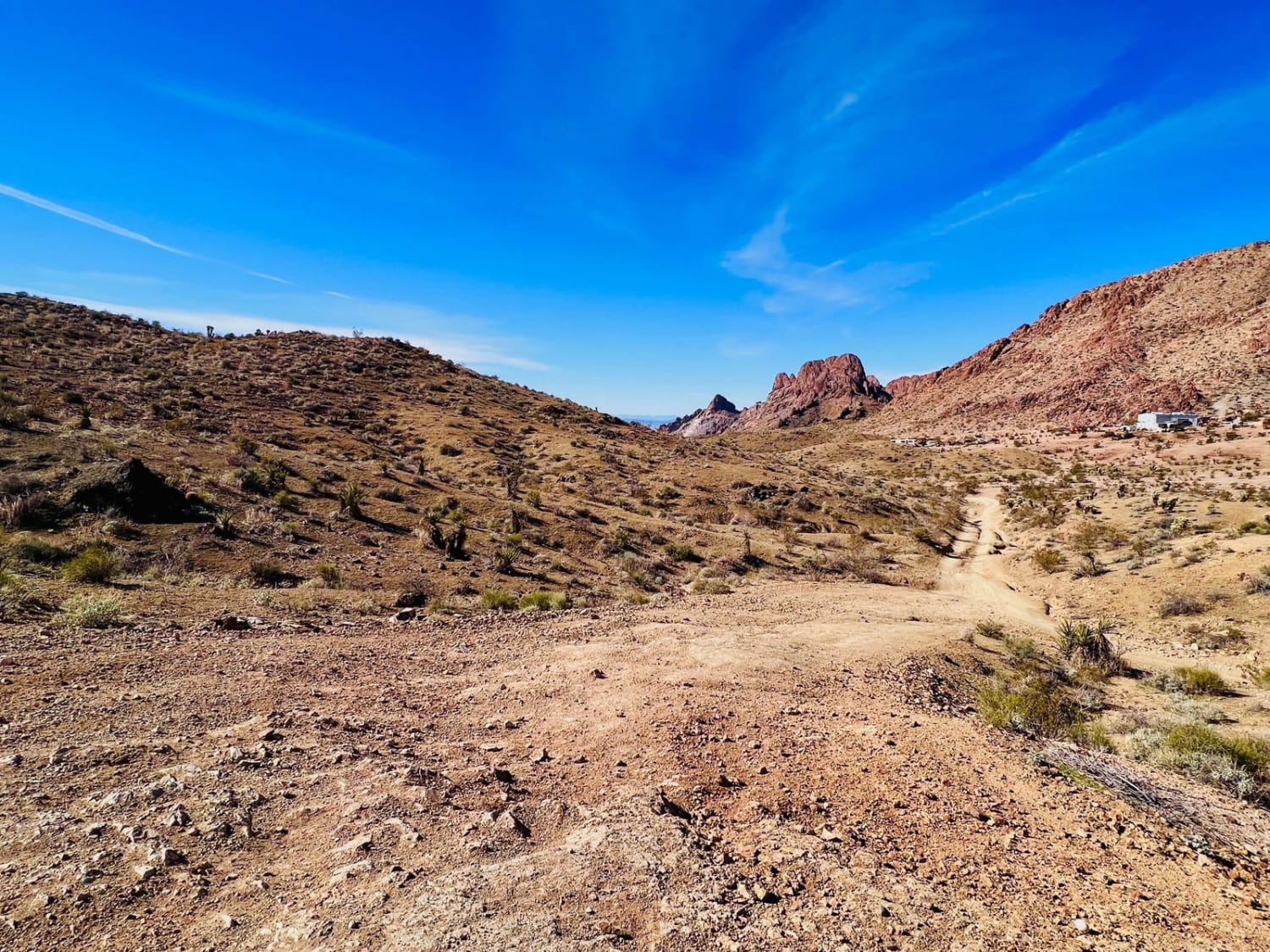
Sheep Gulch is a narrow trail where tight brush guarantees paint damage. It terminates at the Agua Fria River, with the trail continuing down steep embankments and across water crossings. The route features a mix of humps and bumps, with sections of off-camber erosion adding to the challenge. A solid 3 in difficulty, this trail requires careful navigation through uneven terrain. There is little to no cell service in the area, so offline maps are a must.
Photos of Sheep Gulch
Difficulty
This is an unmaintained trail that has varying terrain. Near the Agua Fria River, you'll find tight turns in heavy vegetation that guarantee paint damage. Getting to the river is a different story, with numerous wash crossings, off-camber sections, as well as shelf roads. There is erosion and potential for washouts, as well as water crossings if visited during the monsoon season or after a moisture event. There is little cell service in the area, so offline maps are recommended.
Status Reports
Sheep Gulch can be accessed by the following ride types:
- High-Clearance 4x4
- SUV
- SxS (60")
- ATV (50")
- Dirt Bike
Sheep Gulch Map
Popular Trails

South Loop
Bypass AZ Peace Trail Bullhead City to Oatman Medium
The onX Offroad Difference
onX Offroad combines trail photos, descriptions, difficulty ratings, width restrictions, seasonality, and more in a user-friendly interface. Available on all devices, with offline access and full compatibility with CarPlay and Android Auto. Discover what you’re missing today!