Schultz Pass
Total Miles
13.1
Technical Rating
Best Time
Spring, Summer, Fall
Trail Type
Full-Width Road
Accessible By
Trail Overview
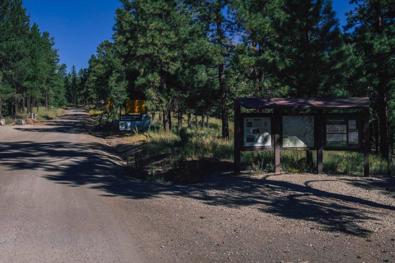
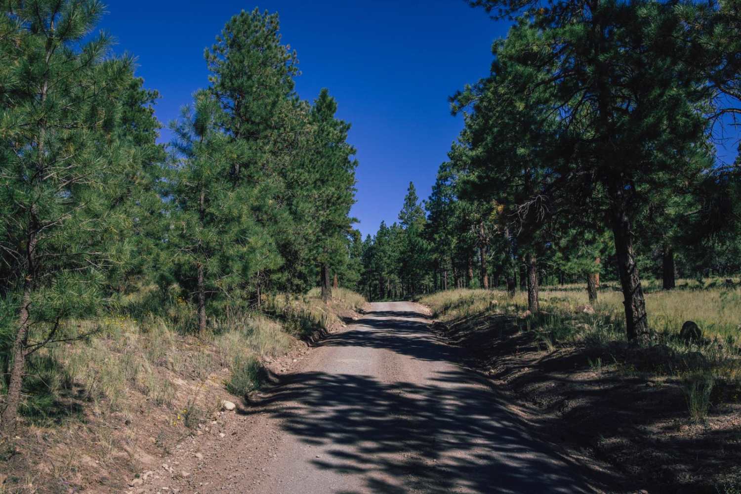
Schultz Pass is a beautiful road that cuts through the Coconino National Forest outside of Flagstaff, Arizona. This road is well traveled, with no obstacles on it. It's wide and gravel, and a popular spot for hikers and mountain bikers alike, with numerous named mountain bike and hiking trails that lead off into the forest, and crisscross the main road, and due to the heavy pedestrian usage, caution is urged. Wide and gravel, there are a few new wide concrete dams that you'll drive over while heading up the steep grade. When you reach the top, you'll begin a more remote area of the mountain that is popular with hunters in the area, so don't be surprised to see some traffic or vehicles at the pullouts. This area burned not too long ago, and some of the washes and runoff paths are more prevalent, with the crossings being wide and somewhat steep. There is little service in this area, so offline maps are recommended. Remember, this is a high alpine environment trail, and the ecosystem is fragile, so please stay on established paths and remember to TREAD LIGHTLY. This road goes through on both sides to major entrance/exit points to the forest, with the trail cutting the corner from Hwy89 on the East to Hwy 180 on the South.
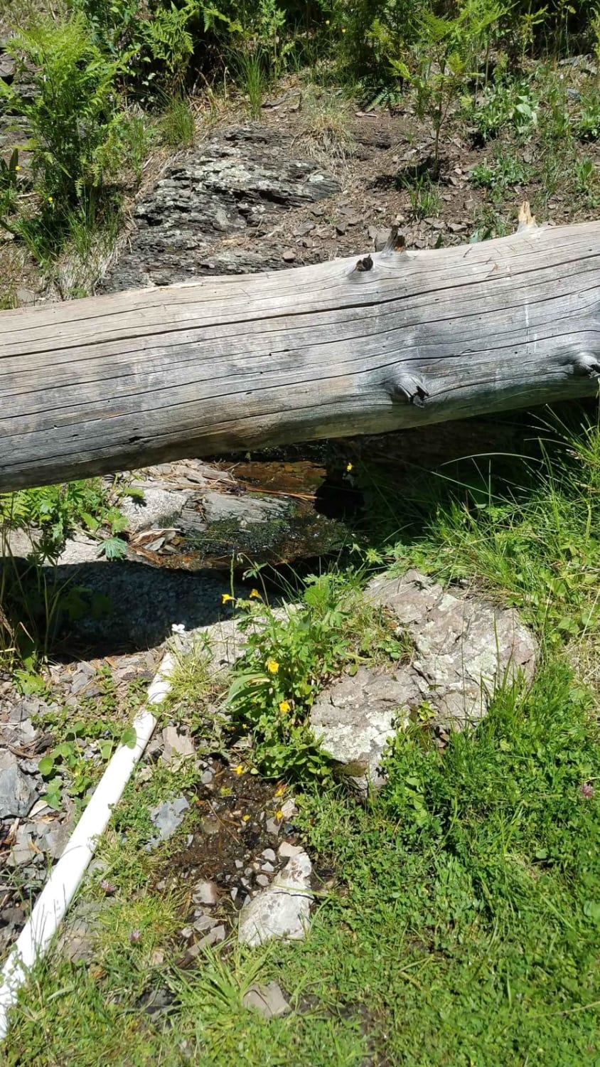
Photos of Schultz Pass
Difficulty
This road is semi-maintained with it being highly popular with local hunters, hikers, and mountain bikers. Due to its popular destination, caution and speed control is urged. The road is two vehicles wide with plenty of room to pass and/or turn around.
Status Reports
Schultz Pass can be accessed by the following ride types:
- High-Clearance 4x4
- SUV
- SxS (60")
- ATV (50")
- Dirt Bike
Schultz Pass Map
Popular Trails

Princess Wash Cove
Segmiller Mountain - Sunshine Trail Interconnect
Corder Loop
The onX Offroad Difference
onX Offroad combines trail photos, descriptions, difficulty ratings, width restrictions, seasonality, and more in a user-friendly interface. Available on all devices, with offline access and full compatibility with CarPlay and Android Auto. Discover what you’re missing today!