Ritter Tank Saddle
Total Miles
5.4
Technical Rating
Best Time
Spring, Summer, Fall, Winter
Trail Type
Full-Width Road
Accessible By
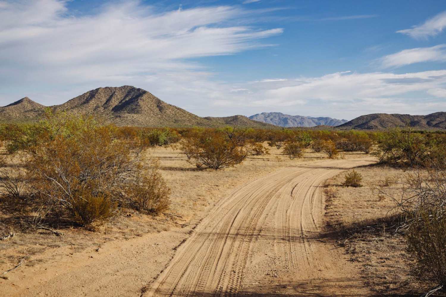
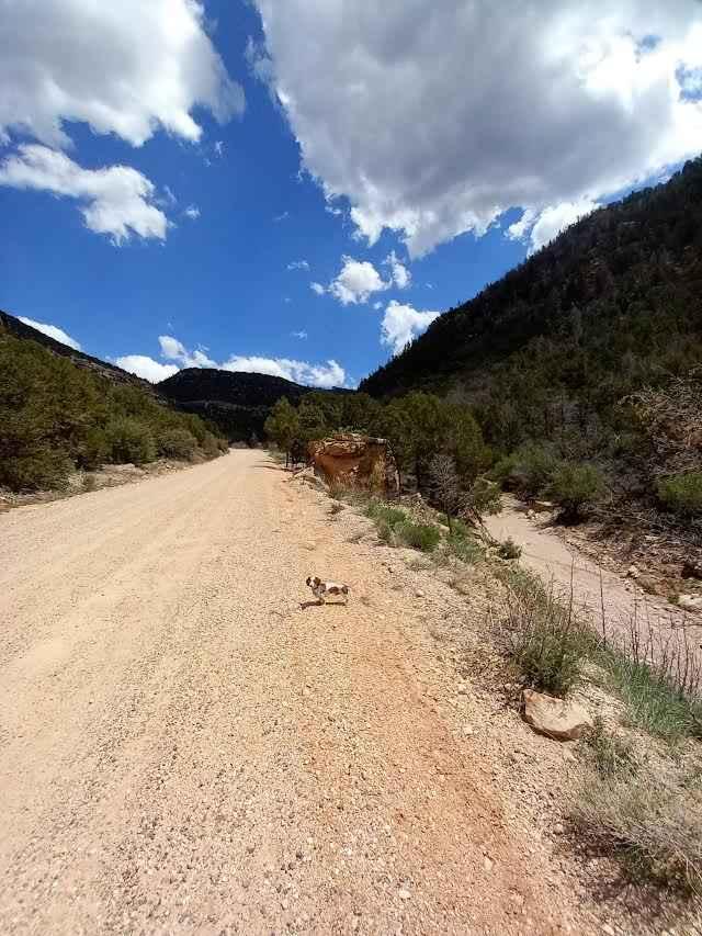
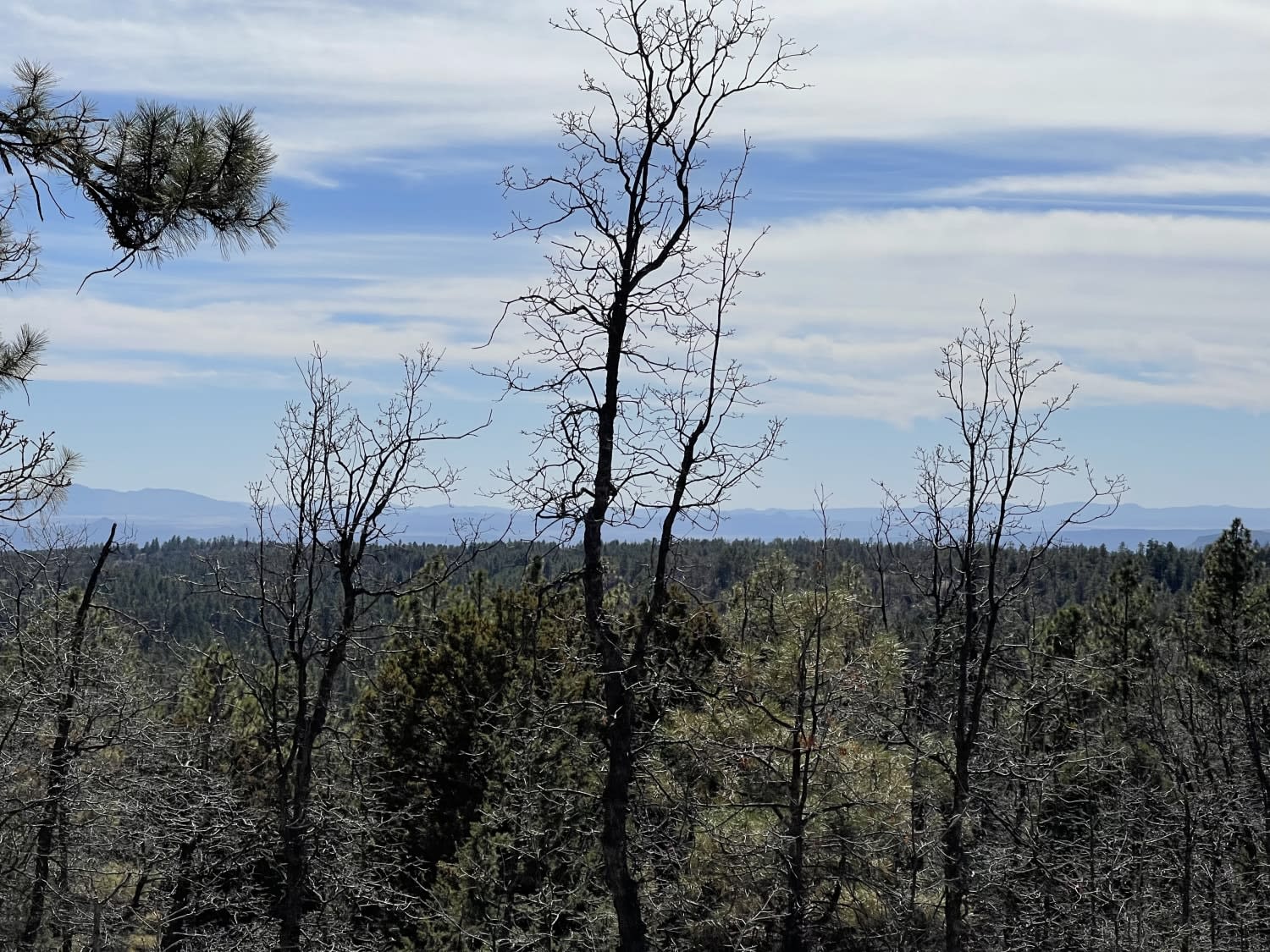
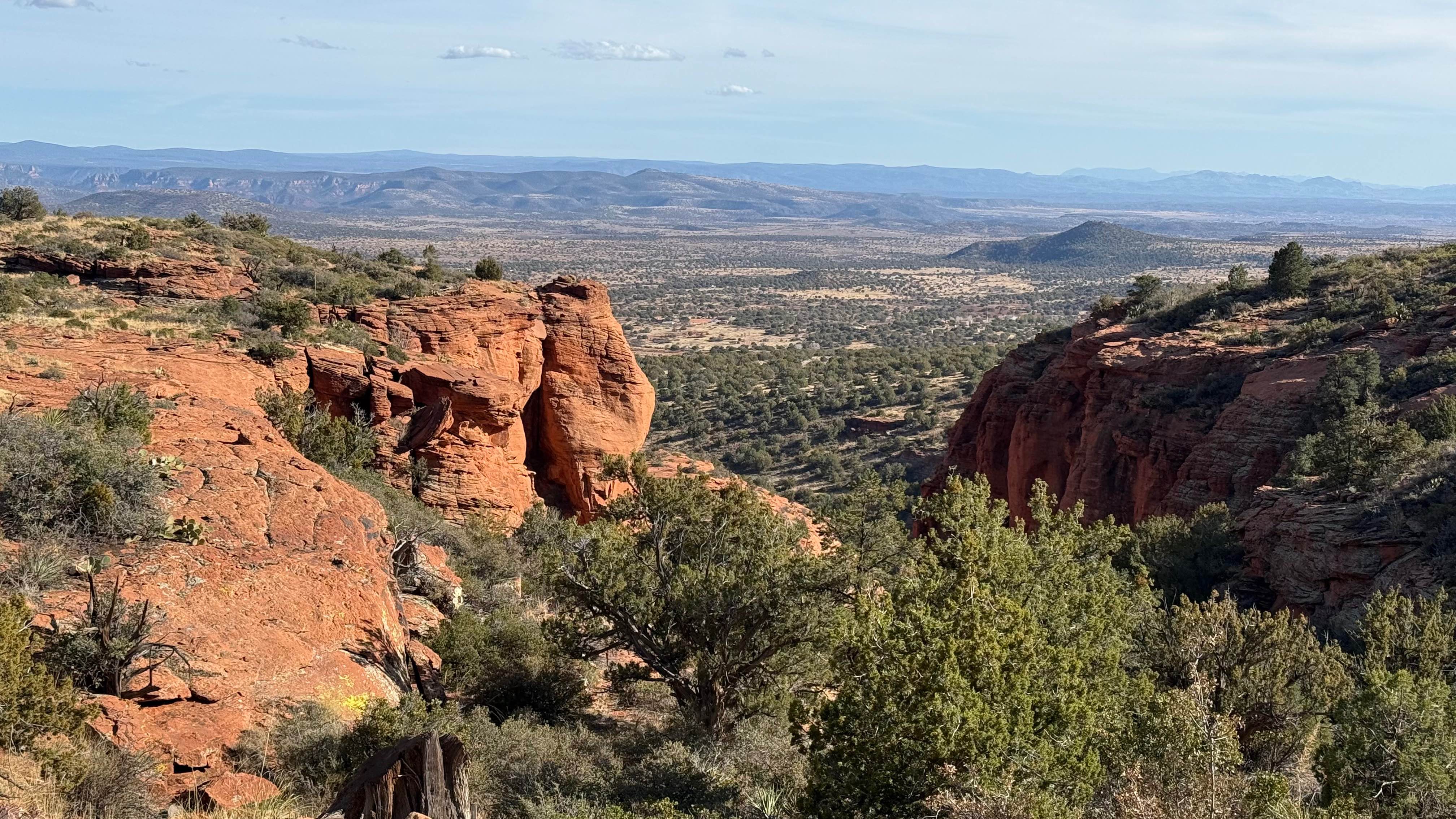
Trail Overview
The Ritter Tank Saddle trail was run from West to East and starts in the dirt and desert lowlands of a section of Arizona State Land Trust lands. It is important to note that a permit is required to access these lands. The trail starts as dirt, wide, and gentle with minimal water damage and erosion. As you work your way East, past the old corral, the trail narrows considerably. Paint damage is probable through this section and up through the saddle. The saddle itself is rocky, with wash crossings with steep entrances and exits. There are short, steep climbs of loose rock and erosion along this trail with numerous spots that, depending on line choice, will pitch you off-camber.
Photos of Ritter Tank Saddle

Difficulty
This is an unmaintained trail that has numerous sections of water damage, washouts, erosion, and wash crossings. Any of these features might be exacerbated by moisture events or monsoon season. Toward the Western end of the trail, there is plenty of room to pass and/or turn around, but these chances become slimmer the further East (toward the mountains) you proceed. If you must leave the established path, please remember to TREAD LIGHTLY as this environment is fragile and is prone to lasting damage.
Status Reports
Ritter Tank Saddle can be accessed by the following ride types:
- High-Clearance 4x4
- SUV
- SxS (60")
- ATV (50")
- Dirt Bike
Ritter Tank Saddle Map
Popular Trails
461/Jacob Lake

Sugarloaf Mountain - FS761A
The onX Offroad Difference
onX Offroad combines trail photos, descriptions, difficulty ratings, width restrictions, seasonality, and more in a user-friendly interface. Available on all devices, with offline access and full compatibility with CarPlay and Android Auto. Discover what you’re missing today!