Reymert Mine Trail
Total Miles
9.4
Technical Rating
Best Time
Winter, Spring, Fall
Trail Type
High-Clearance 4x4 Trail
Accessible By
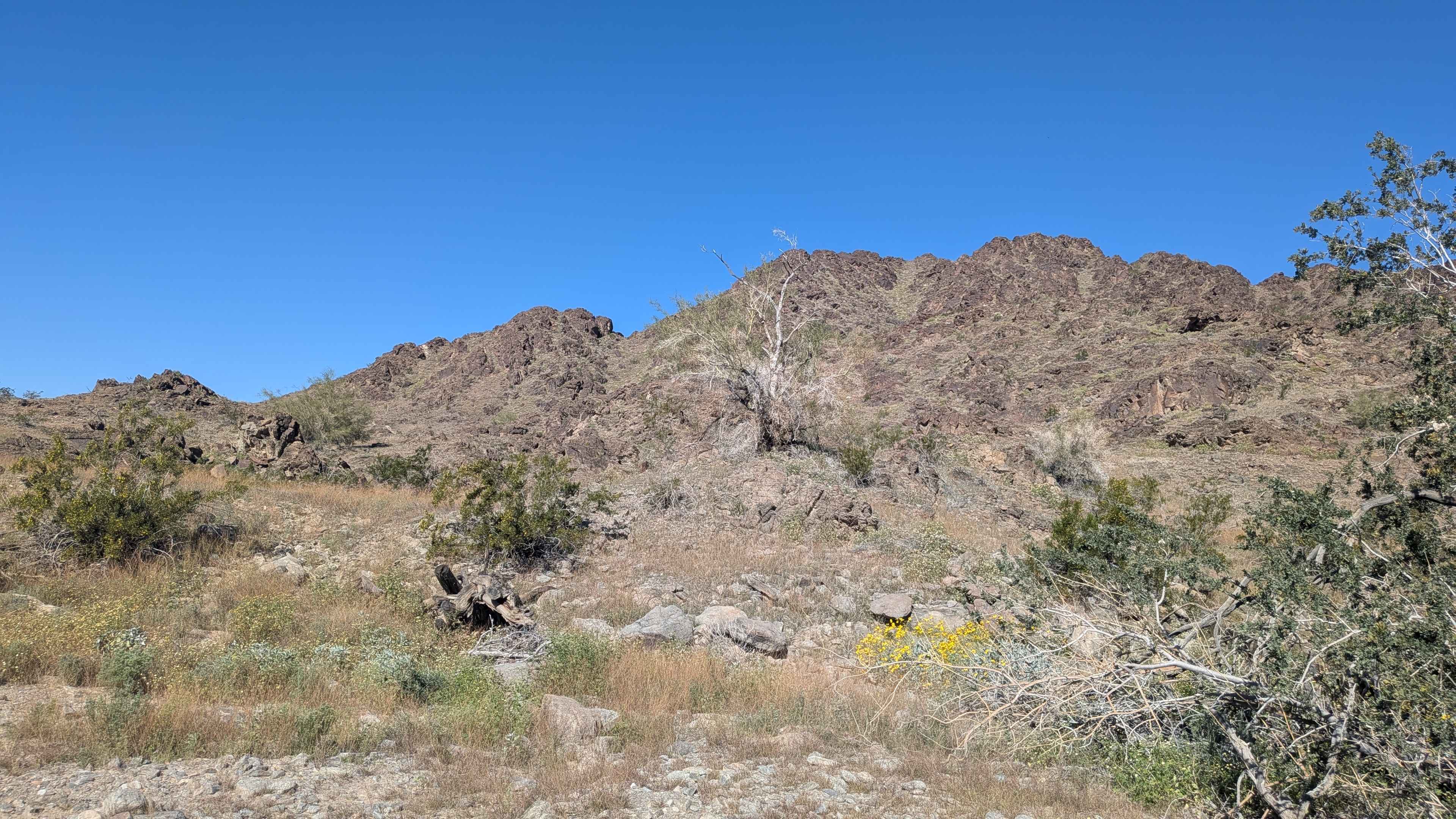
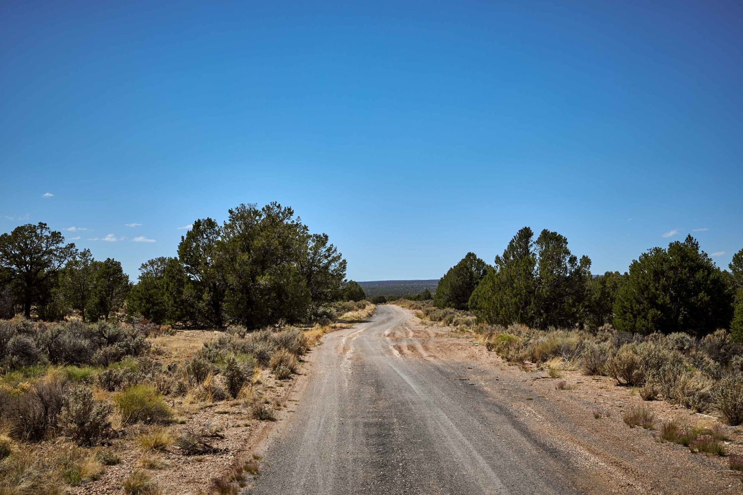
Trail Overview
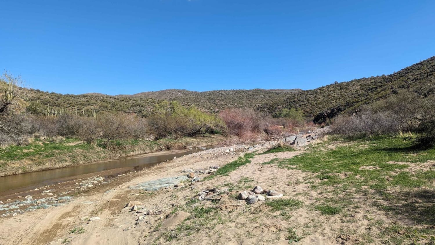
The western end is an easy trail through the desert but the trail gets rocky and more difficult as you get closer to the mine. You will have to cross the creek and drive up it for a short distance. This section can vary in difficulty depending on erosion from recent water flows.
Photos of Reymert Mine Trail
Difficulty
Most of the trail is easy but the eastern end gets rocky with water crossings.
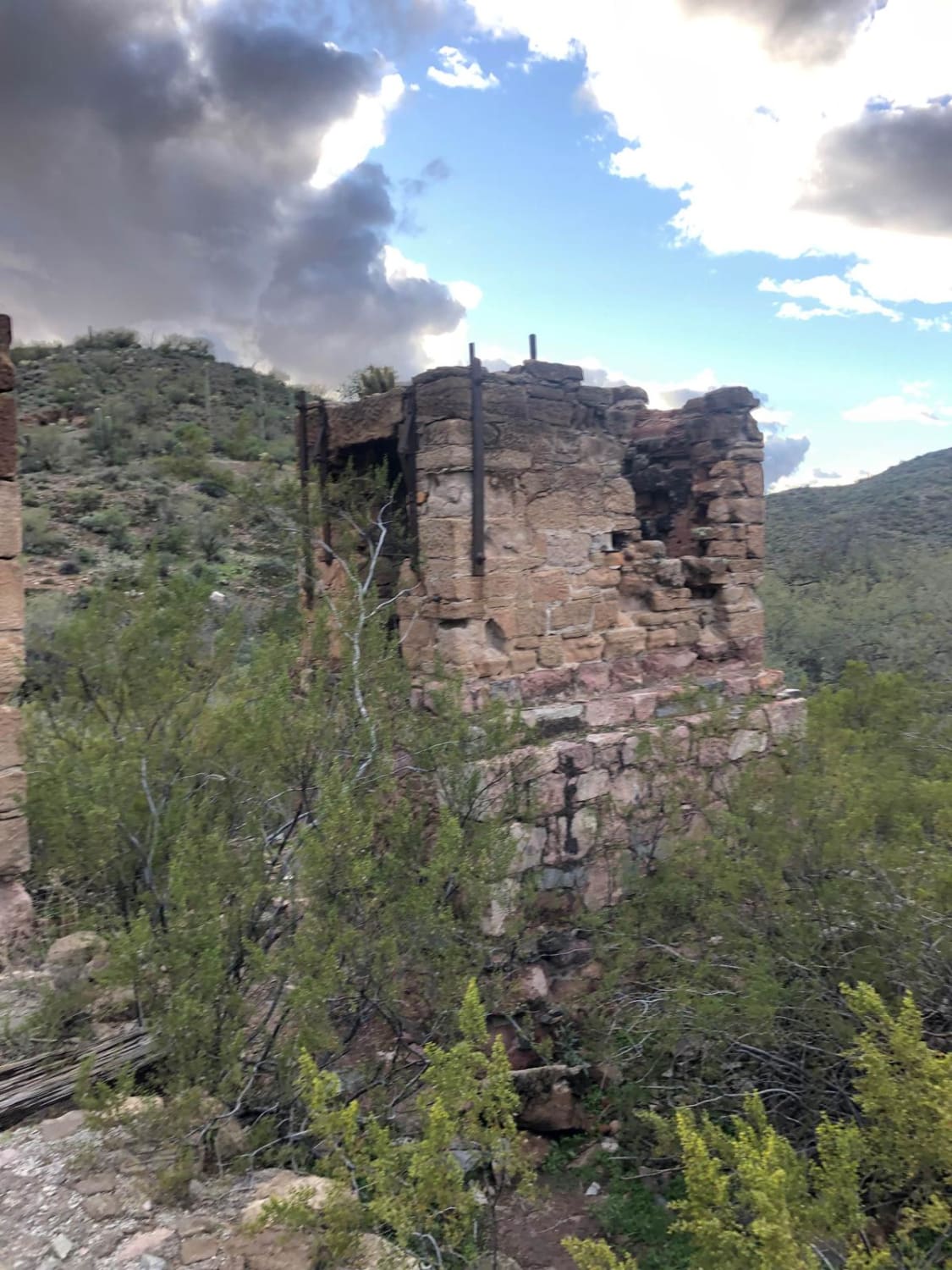
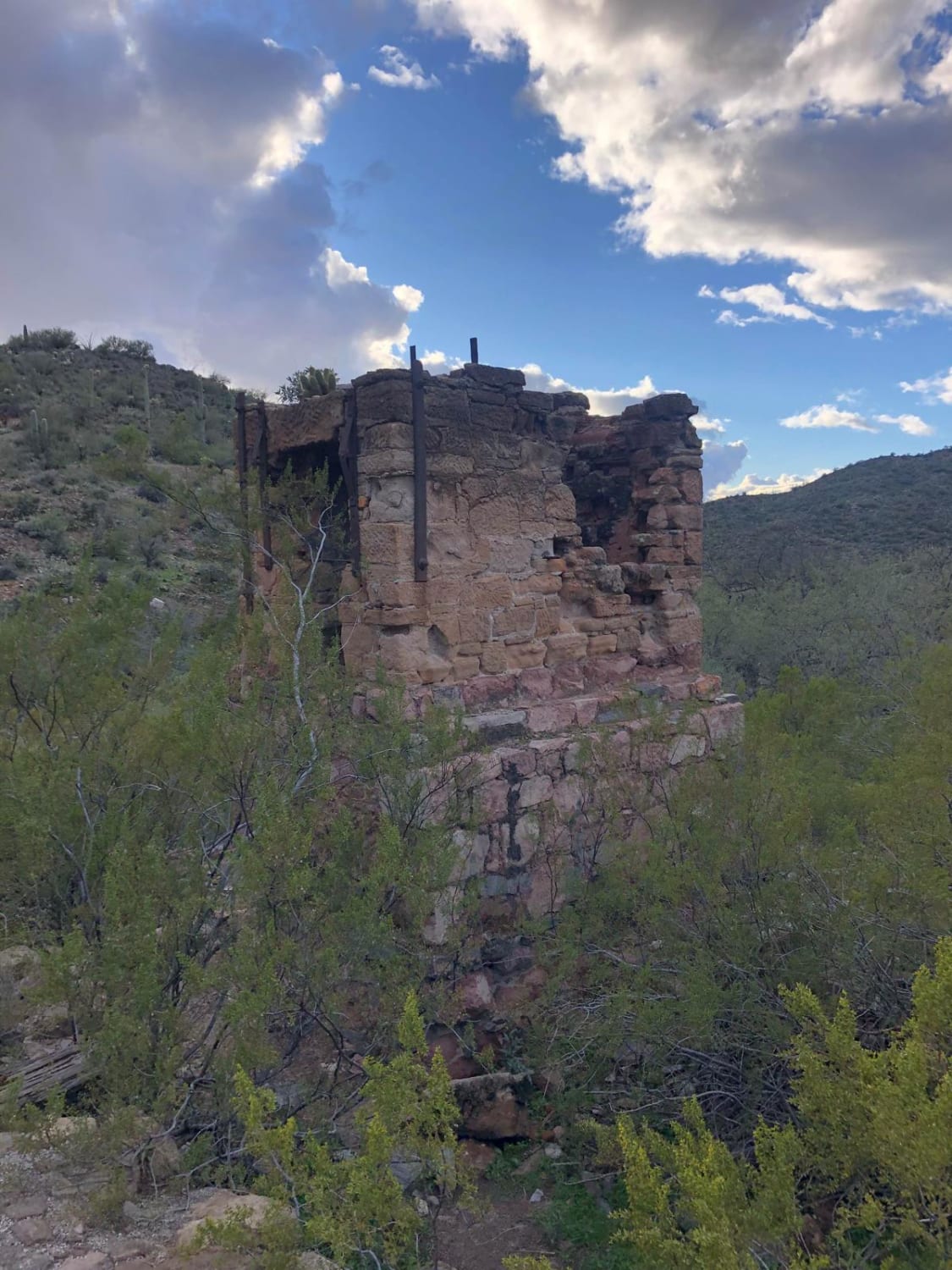
History
There are big stone ovens left over from mining operations.
Status Reports
Reymert Mine Trail can be accessed by the following ride types:
- High-Clearance 4x4
- SxS (60")
- ATV (50")
- Dirt Bike
Reymert Mine Trail Map
Popular Trails
Black Canyon Creek
Old 64 / Tusayan Road
The onX Offroad Difference
onX Offroad combines trail photos, descriptions, difficulty ratings, width restrictions, seasonality, and more in a user-friendly interface. Available on all devices, with offline access and full compatibility with CarPlay and Android Auto. Discover what you’re missing today!