Red Rock Powerline Trail
Total Miles
6.7
Technical Rating
Best Time
Spring, Summer, Fall, Winter
Trail Type
Full-Width Road
Accessible By
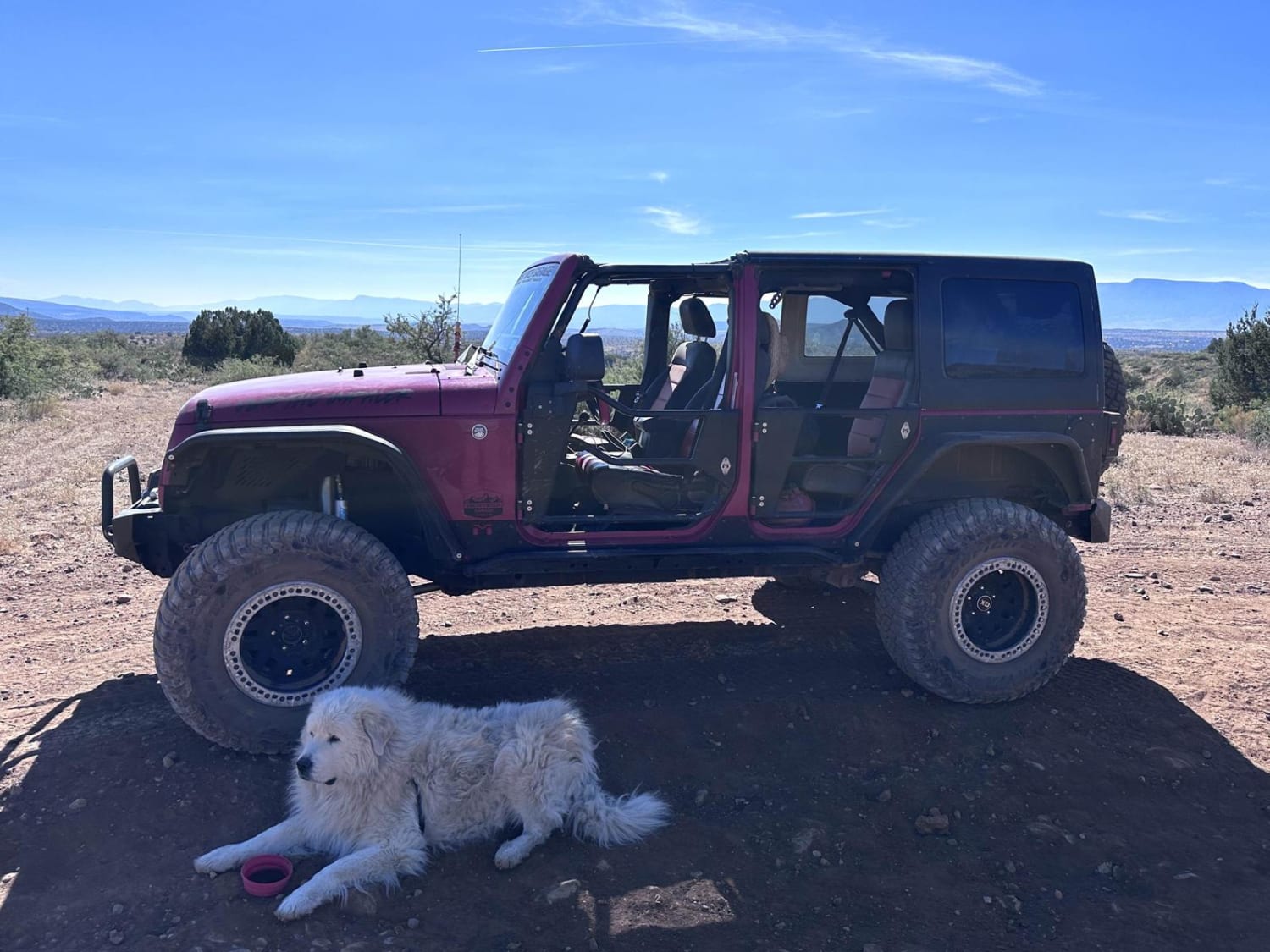
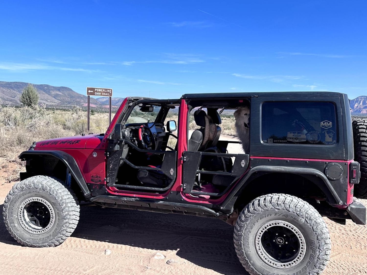
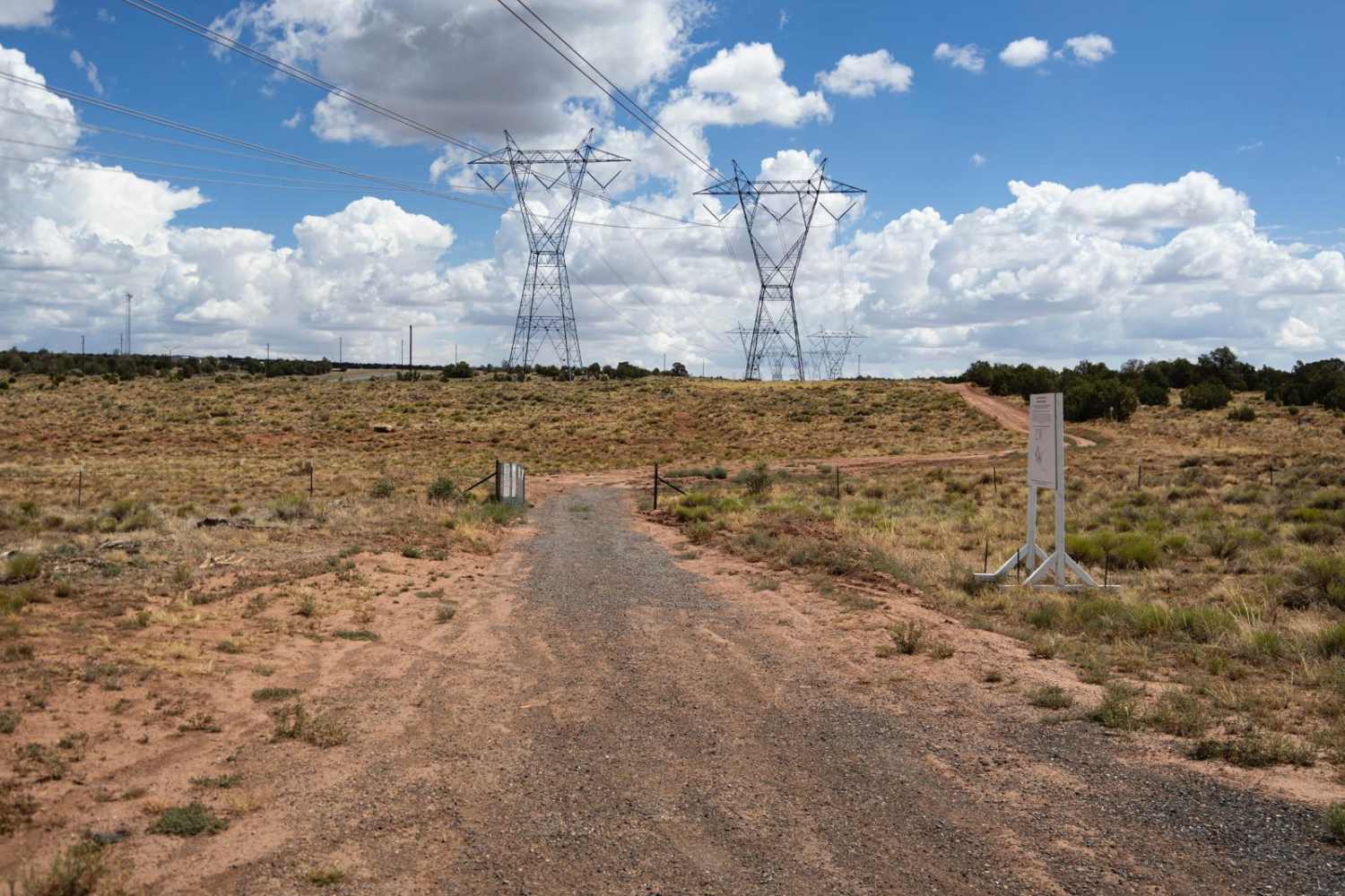
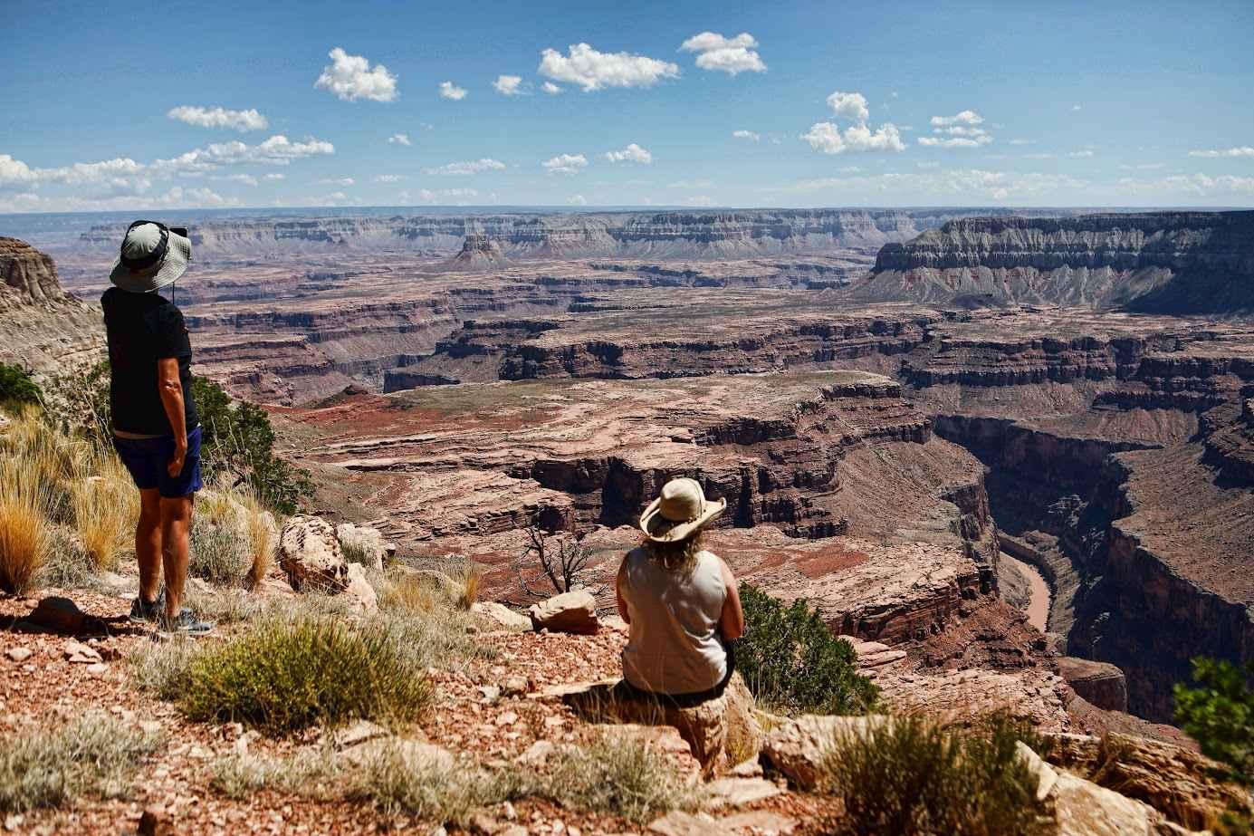
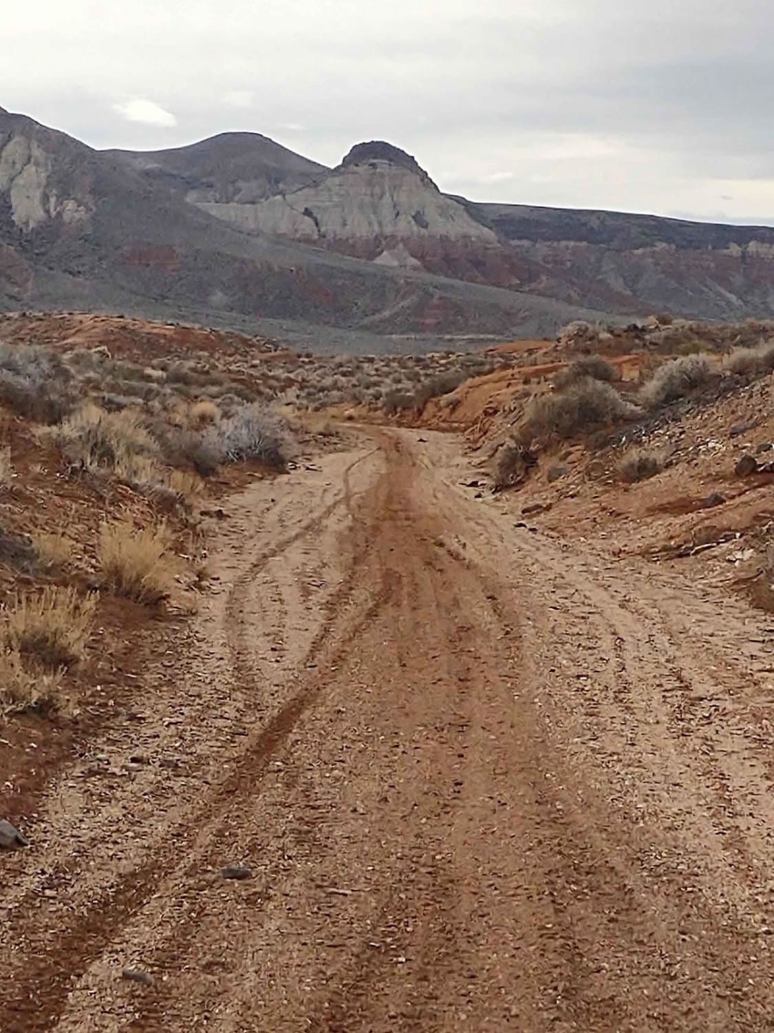
Trail Overview
This 6.4-mile point-to-point trail takes you from Bill Gray Road along power lines up to the start of Casner Mountain Trail. For a power line road, this trail has very scenic views of the surrounding mountains and red rock. The only obstacle is a set of small ledges close to the end of the trail that is easily passable by any 4WD vehicle.
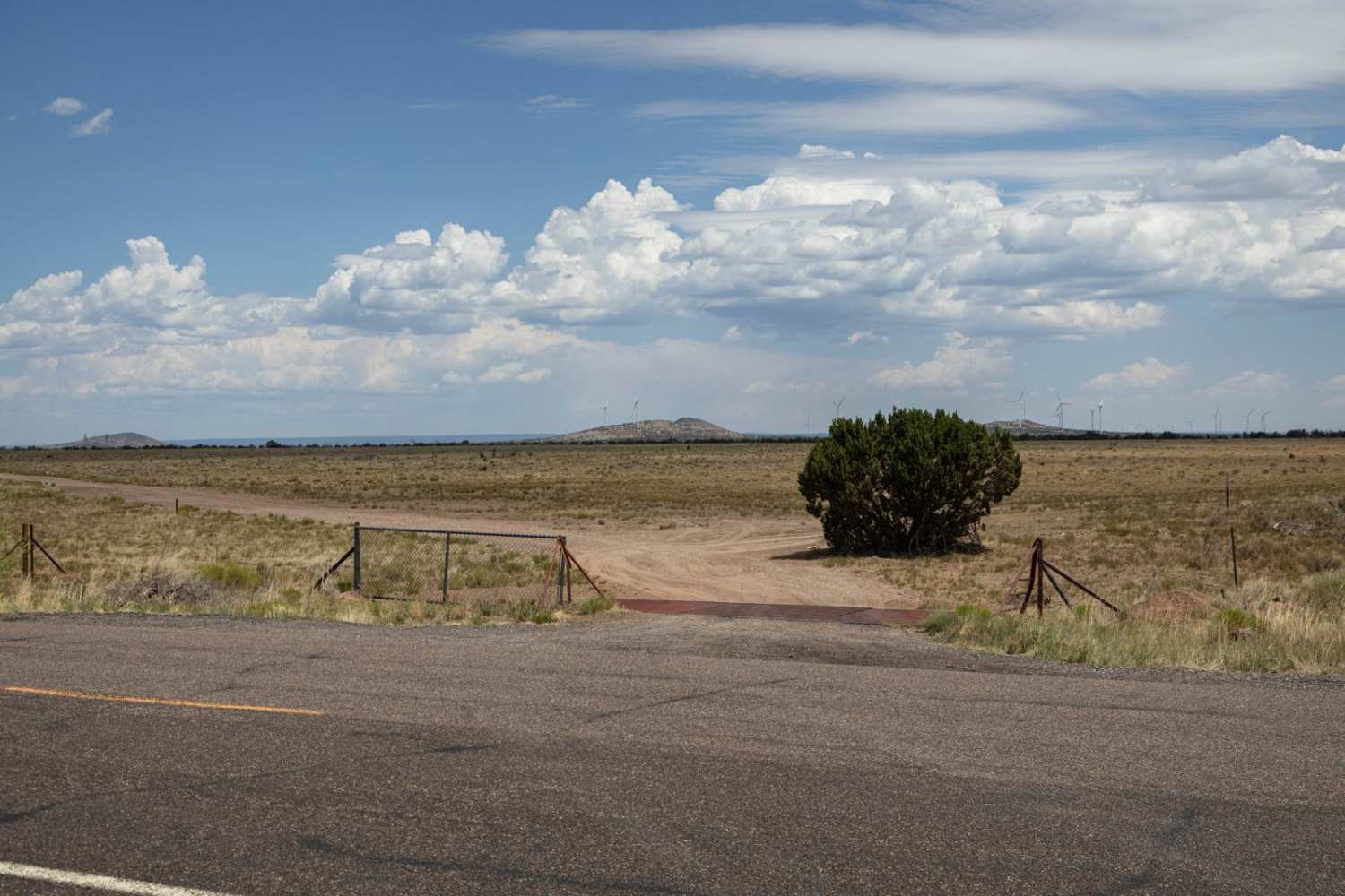
Photos of Red Rock Powerline Trail
Difficulty
This trail has several steep climbs with loose rock and obstacles up to 12 inches in height. There is one obstacle close to the end of the trail with ledges less than 12 inches in height.
Status Reports
Red Rock Powerline Trail can be accessed by the following ride types:
- High-Clearance 4x4
- SUV
- SxS (60")
- ATV (50")
- Dirt Bike
Red Rock Powerline Trail Map
Popular Trails
SB Point Road
Sand Hollow Trail #2043
Babbits Checkers
The onX Offroad Difference
onX Offroad combines trail photos, descriptions, difficulty ratings, width restrictions, seasonality, and more in a user-friendly interface. Available on all devices, with offline access and full compatibility with CarPlay and Android Auto. Discover what you’re missing today!