Rattlesnake Canyon 1054
Total Miles
9.9
Technical Rating
Best Time
Spring, Fall
Trail Type
Full-Width Road
Accessible By
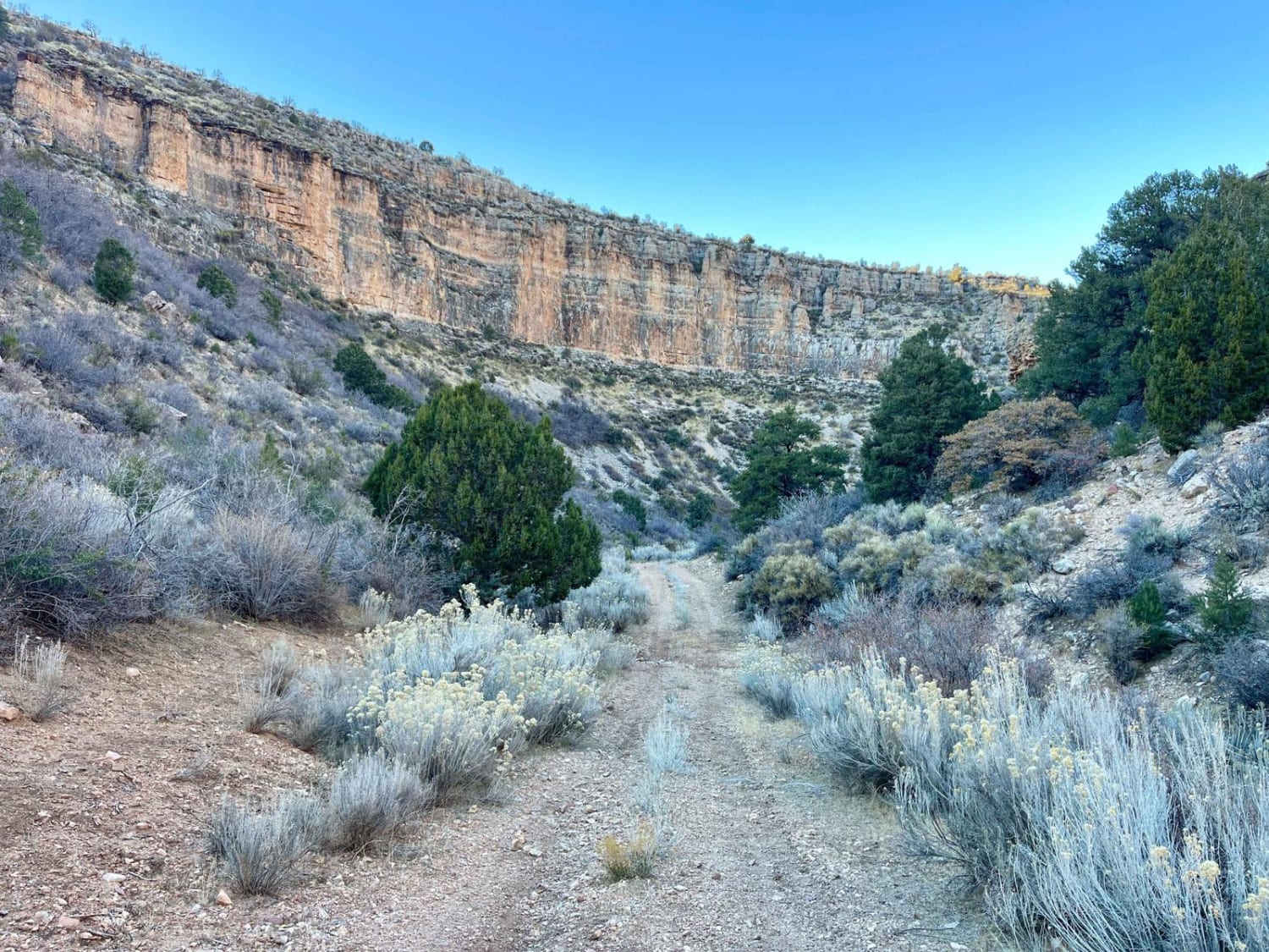
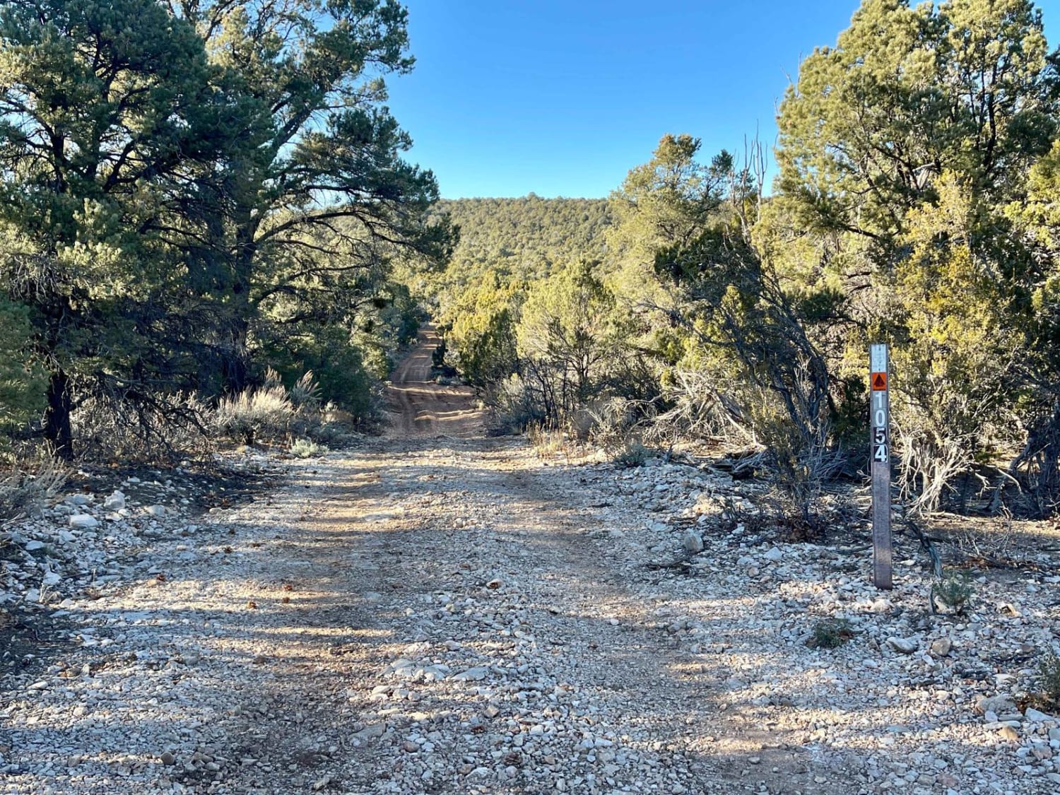
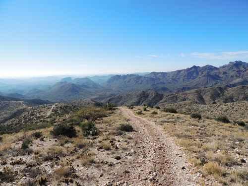
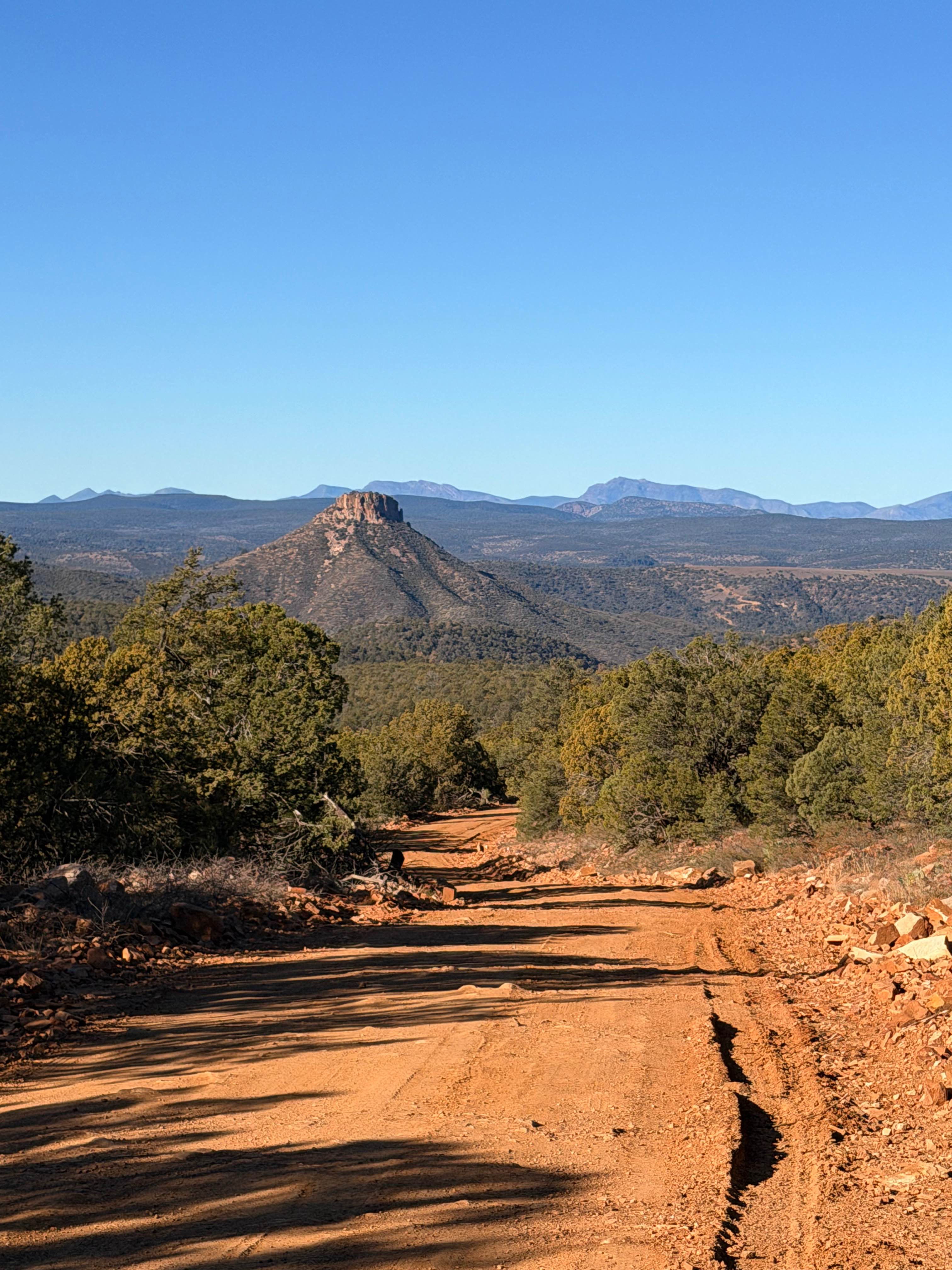
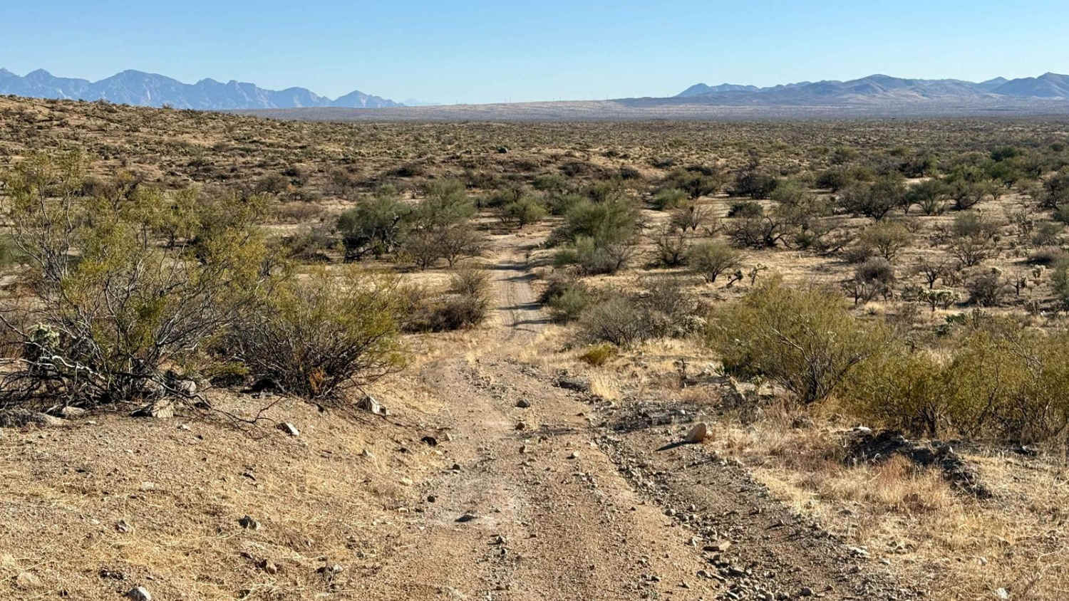
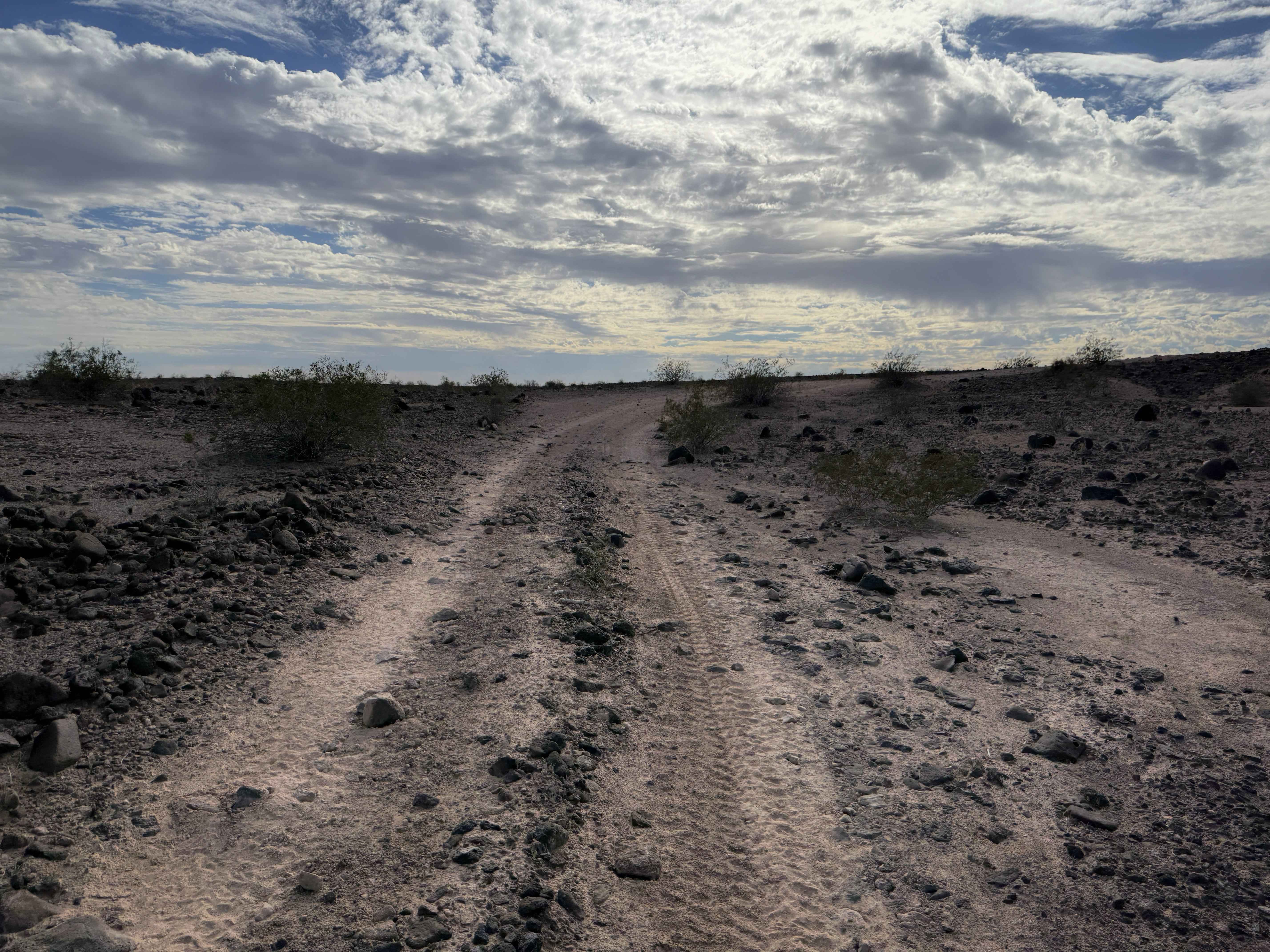
Trail Overview
The higher elevation section of the trail is beautiful as it rolls through the trees and crosses over a large amount of deep ruts. Careful tire placement should be used. This terrain continues for a mile or so. Then, the trail opens up to a stunning, flatter section of sagebrush meadows, with grouse flushed from the bushes and the occasional jackrabbit scurrying by. This section has a cattle gate, so please keep it closed as the sign requests. Continuing north from here, the trail begins its descent down into the bottom of Rattlesnake Canyon and joins with the southern section of Hidden Canyon Road. This is where the route gets interesting, with tight corners and very deep washouts. There are a few steep, loose, rocky descents and the occasional herd of cows as you pass the blind corners. The washouts come fast and are deep, so make careful line choices and watch your speed, or it could be a bad day. The canyon walls near the bottom are stunning, with high rock faces towering on each side and caves cut into the rocks. It's an outstanding drive and one not to be missed. This area is very remote, and help is a long way away. Be sure to bring a satellite communication device and be sure somebody knows your travel plans. There is no cell service out here, so plan and download your offline maps and bring plenty of water. It is a desert, after all.
Photos of Rattlesnake Canyon 1054
Difficulty
Some deep washouts up to 2- to 3-feet deep may become even deeper after heavy rains. There are long sections of deep ruts and loose, short, steep hill climbs with a few ledges here and there.
History
The Arizona Strip is a vast arid region on the north side of the Grand Canyon that encompasses a variety of landscapes and climates within its nearly 3 million acres, as well as centuries of human history. It is 200 miles long and accessed only by two major highways on either end. Because of its lack of easy access, the Strip remains one of the most remote and least-visited parts of the state.
Rattlesnake Canyon 1054 can be accessed by the following ride types:
- High-Clearance 4x4
- SUV
- SxS (60")
- ATV (50")
- Dirt Bike
Rattlesnake Canyon 1054 Map
Popular Trails
Pucker Ridge
Buzzard Roost - FS 486
Lovetta's Loop
Sonoran Desert Flats
The onX Offroad Difference
onX Offroad combines trail photos, descriptions, difficulty ratings, width restrictions, seasonality, and more in a user-friendly interface. Available on all devices, with offline access and full compatibility with CarPlay and Android Auto. Discover what you’re missing today!