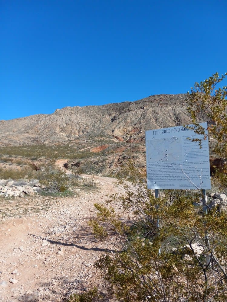
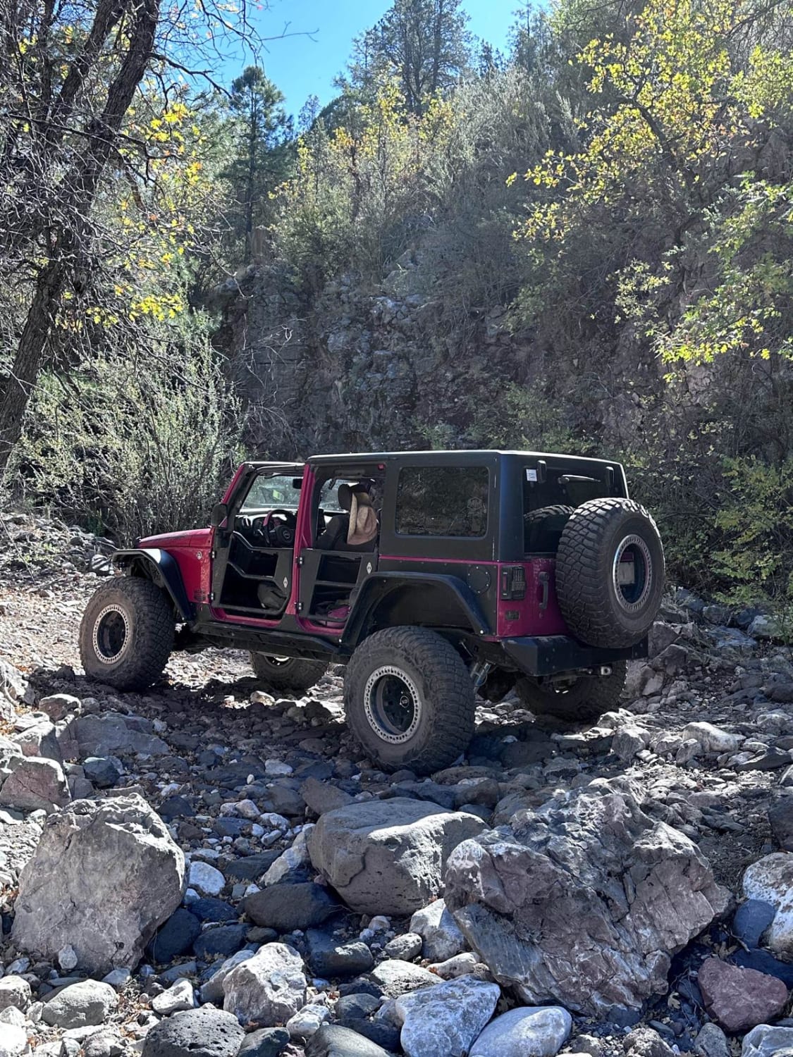
Upper Palomas Harquahala
Total Miles
20.4
Technical Rating
Best Time
Spring, Fall, Winter
Trail Type
Full-Width Road
Accessible By
Trail Overview
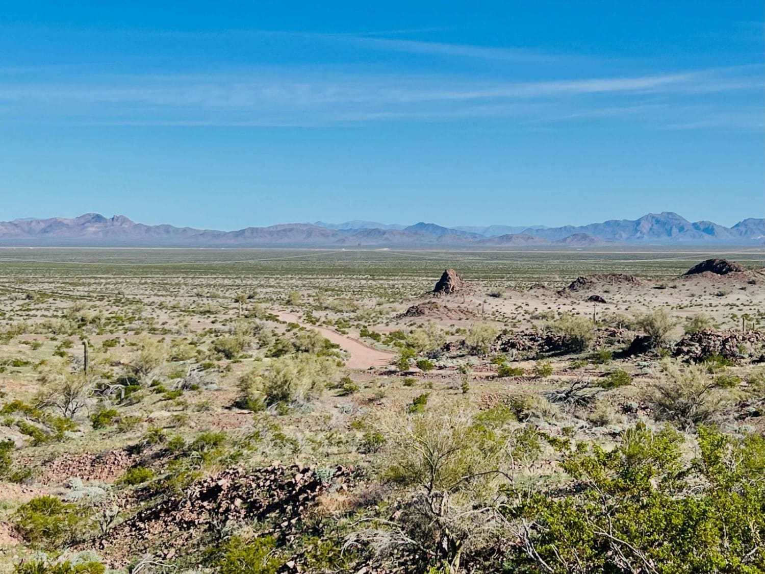
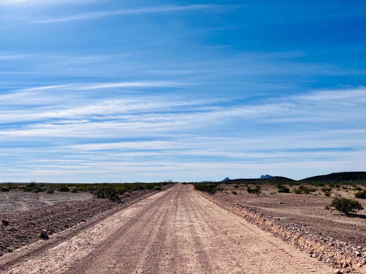
This access trail is freakishly well maintained for how little traffic it appears to have. Most of the route is flat and wide enough for two cars to pass. The occasional sandy washout will test your suspension. Most of the trail runs along the Eagletail wilderness area to the east, with open camping and more routes to explore to the west. The camping spots are plentiful and flat, many with outstanding views of the Ridgeline that lies within the wilderness. Be aware of cattle on the road, as this is also an open grazing range. Near the southern end, the trail narrows significantly is an interesting large water tank that appears to have blown over into the trail. There are a few old corrals along the way. This trail provides a lot of easy access to the expansive network of trails in the area. It is a perfect jumping-off point for adventure. There are a few bars of Verizon LTE in the area in the northern section and none near the southern leg. Be sure to download offline maps before you arrive.
Photos of Upper Palomas Harquahala
Difficulty
This trail is primarily wide and easy with a few washouts.
Status Reports
Upper Palomas Harquahala can be accessed by the following ride types:
- High-Clearance 4x4
- SUV
- SxS (60")
- ATV (50")
- Dirt Bike
Upper Palomas Harquahala Map
Popular Trails

9113B Option

Fish Canyon

Honeymoon Trail

Smiley Rock Trail
The onX Offroad Difference
onX Offroad combines trail photos, descriptions, difficulty ratings, width restrictions, seasonality, and more in a user-friendly interface. Available on all devices, with offline access and full compatibility with CarPlay and Android Auto. Discover what you’re missing today!

