Horseshoe Lake Trail via Crossing Verde River
Total Miles
19.6
Technical Rating
Best Time
Spring, Summer, Fall, Winter
Trail Type
High-Clearance 4x4 Trail
Accessible By
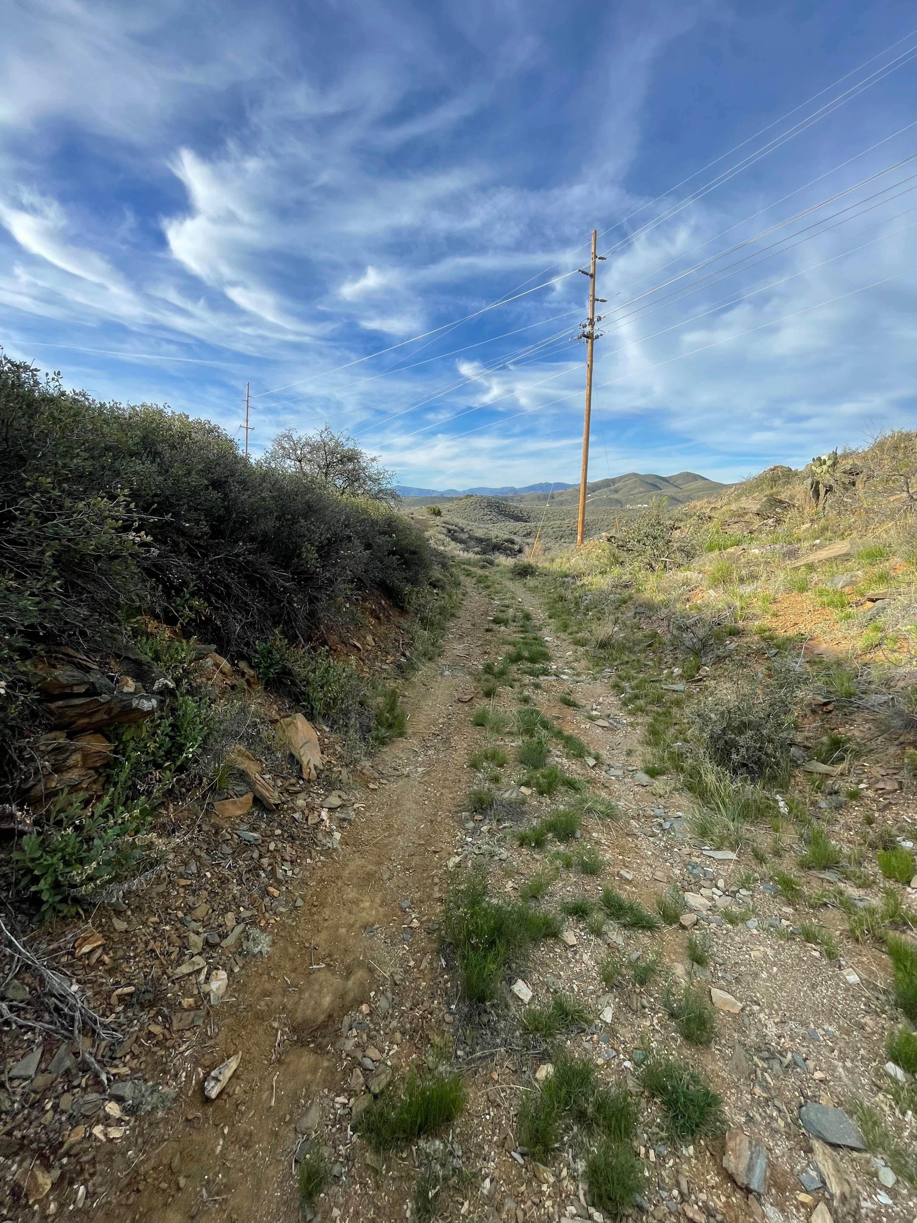
Trail Overview
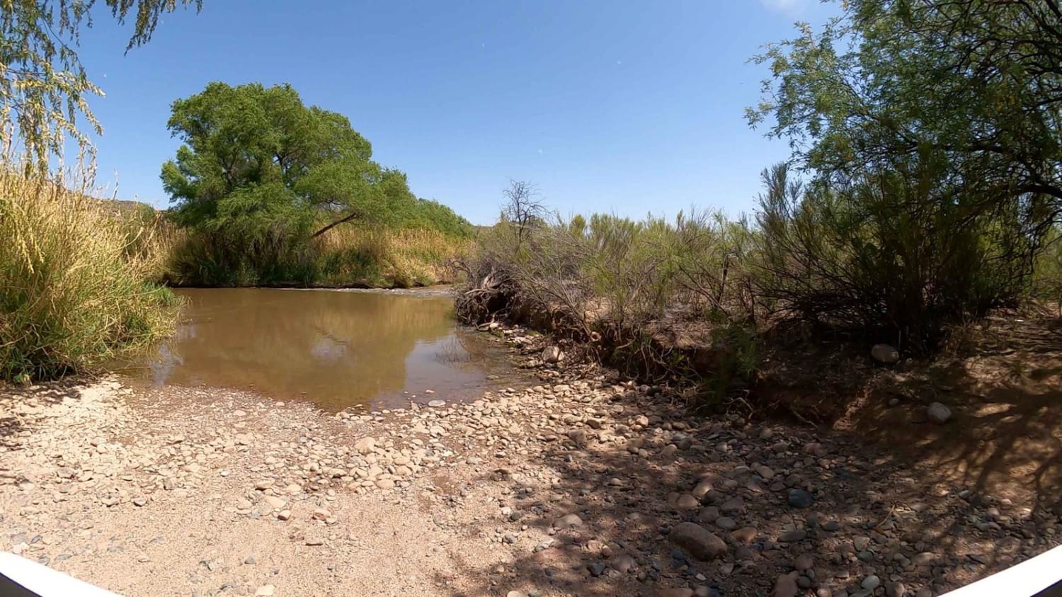
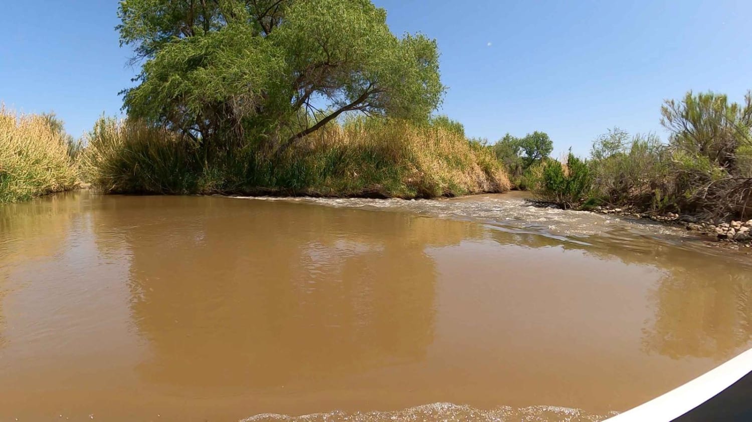
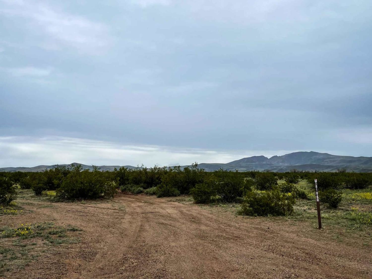
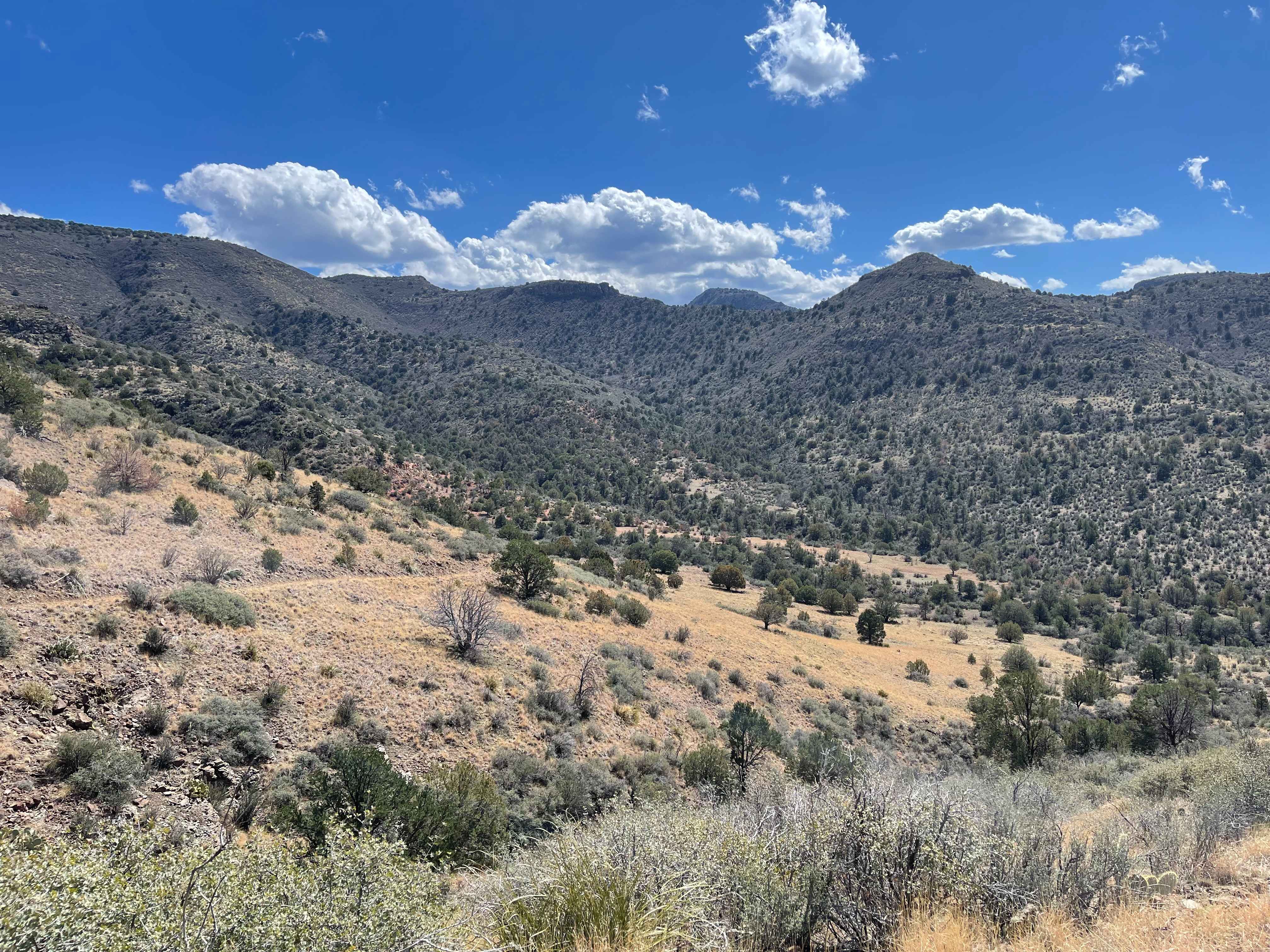
Crossing the Verde River is common provided the release is not more than 225 (CFS). You must cross two areas. This route requires you to visit https://streamflow.watershedconnection.com/Dwr to check the Horseshoe Dam Release. The key to this crossing is staying down river and hugging the rapids or it gets deep fast. The first crossing is a rather long (400-yard) shallow crossing of usually less than 18". The second requires you to stay to the right hugging the area where the rapids are. Rapids are the white capping area as the water travels over the underlying river rocks. This is actually where the water flows over the cement berm just before the rapids. Remember the more to the left your truck is the deeper the water. As you are approaching the rapids make sure not to cross into the rapids. Finally, just before you get to the reeds bear left and maintain a centerline between the reeds until you get to land. The remainder of the trip to Sheep's Bridge is forest road. There are two trails to the left that take you to the Horseshoe which is a nice day ride from Sheeps Bridge. Once at Sheep's Bridge there is another opportunity to cross the Verde River to get to the Hot Springs area. When crossing in this area, there is part of the trail that takes you right to the entrance to the river. DO NOT CROSS ANYWHERE ELSE. When navigating across this portion of the river, simply drive onto the rocks where you see the water rapids on the shallow river rocks. Stay on the rocks and turn left to make a straight line for the shore. You can actually walk this first if you don't mind getting wet. There are plenty of camp spots on both sides. Don't forget there is a hot spring in the reeds to the North of the Bridge. The water is normally 98 degrees and flowing. You will need to put a rock or other stopper to block the release of water at the bottom of the hot spring. This drain prevents the water from getting bacteria, so when you leave please remove the stopper. If you desire you can leave heading West on Bloody Basin Road or simply return to Horseshoe Dam and reverse the crossing instruction. You can go fishing and swim in the Sheeps Bridge area. NOTE: The water level is normally 30" deep, if the water is over your tire then double-check the data (CFS rate). Do not cross the river if you are the only high-clearance 4x4. After crossing the river, the rest of the trail is fairly tame. There is one section with deep ruts and silty sand, but it's easily managed in an aggressive stock 4x4. Due to the river crossing, you should not attempt this right after a hard rain or with ran in the forecast. Simply return to Cave Creek Road and take Seven Springs North to Bloody Basin then East to Sheeps Bridge. It's about 37 miles from the Bartlett Lake/Horseshoe Dam intersection so be prepared for a 3-hour ride.
Photos of Horseshoe Lake Trail via Crossing Verde River
Difficulty
Rating is due to the water Crossings that are normally 30" deep and in a 3" lifted Tacoma with 33" tires you do not need a snorkel. The terrain requires a high-clearance 4WD or modified SxS with 33" tires.
History
Sheeps Bridge was built in the 1800s to allow ranchers to get their sheep across the Verde without losing any to the current. The bridge was rebuilt in the 1900s.
Status Reports
Horseshoe Lake Trail via Crossing Verde River can be accessed by the following ride types:
- High-Clearance 4x4
- SxS (60")
Horseshoe Lake Trail via Crossing Verde River Map
Popular Trails
Highway Tank Trail
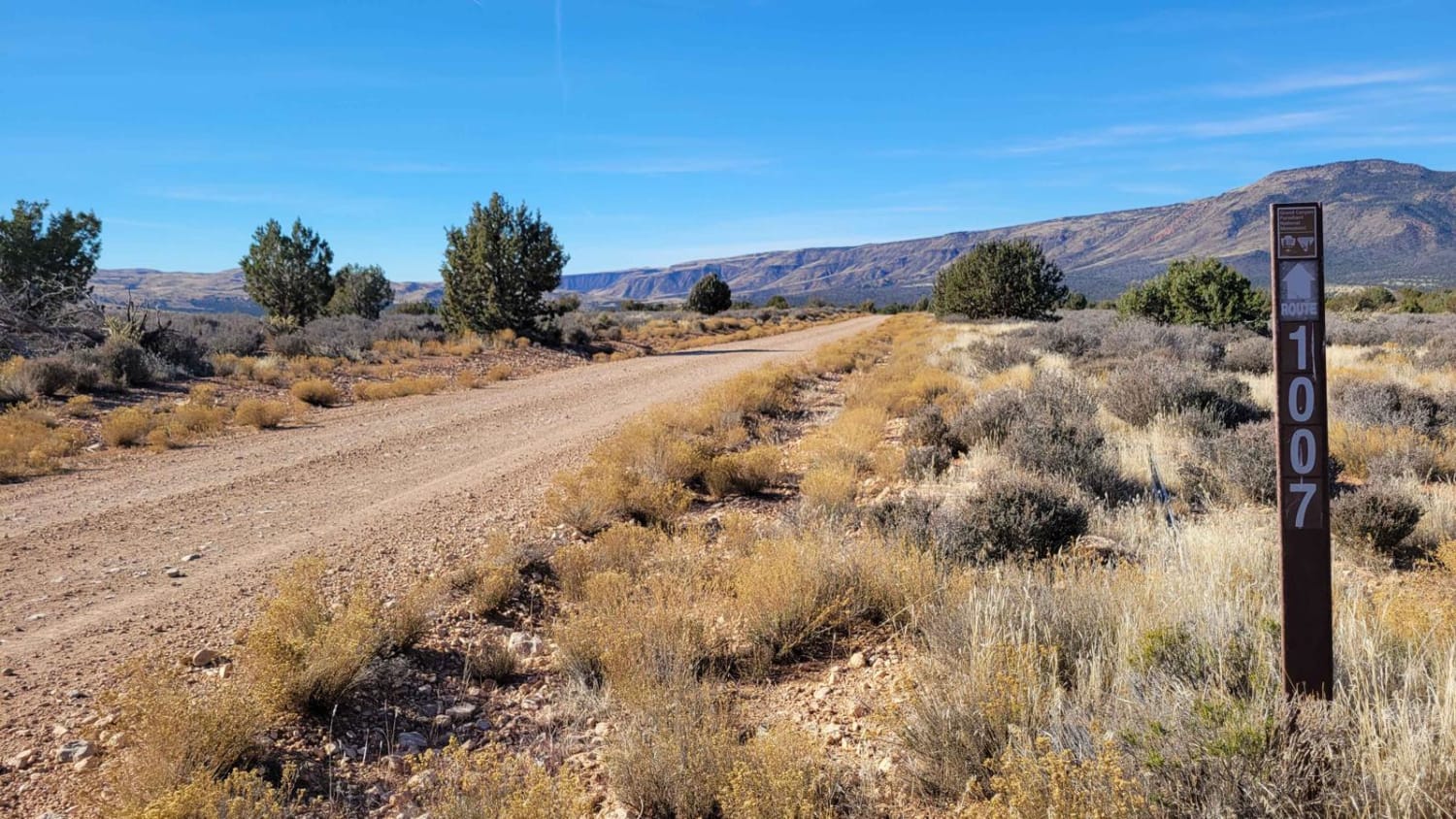
Black Canyon Road - BLM 1007
The onX Offroad Difference
onX Offroad combines trail photos, descriptions, difficulty ratings, width restrictions, seasonality, and more in a user-friendly interface. Available on all devices, with offline access and full compatibility with CarPlay and Android Auto. Discover what you’re missing today!