Crown King Road
Total Miles
26.1
Technical Rating
Best Time
Winter, Summer, Fall, Spring
Trail Type
Full-Width Road
Accessible By
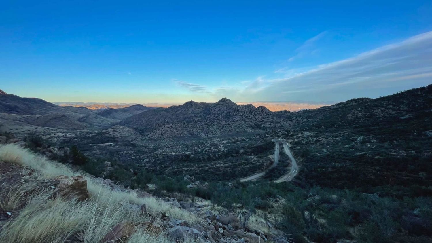
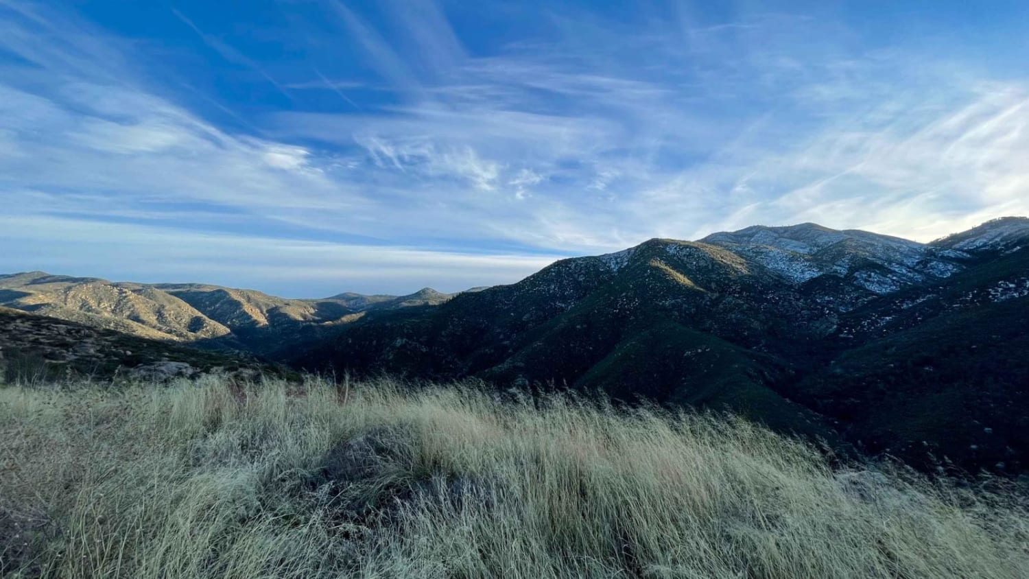
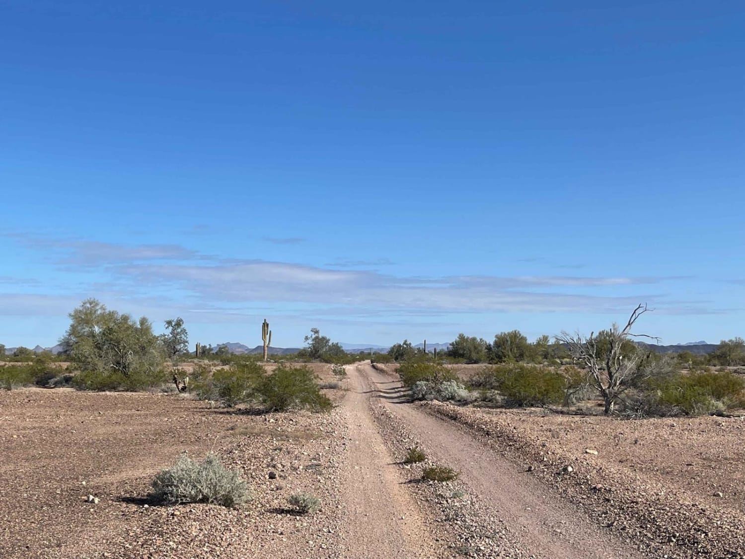
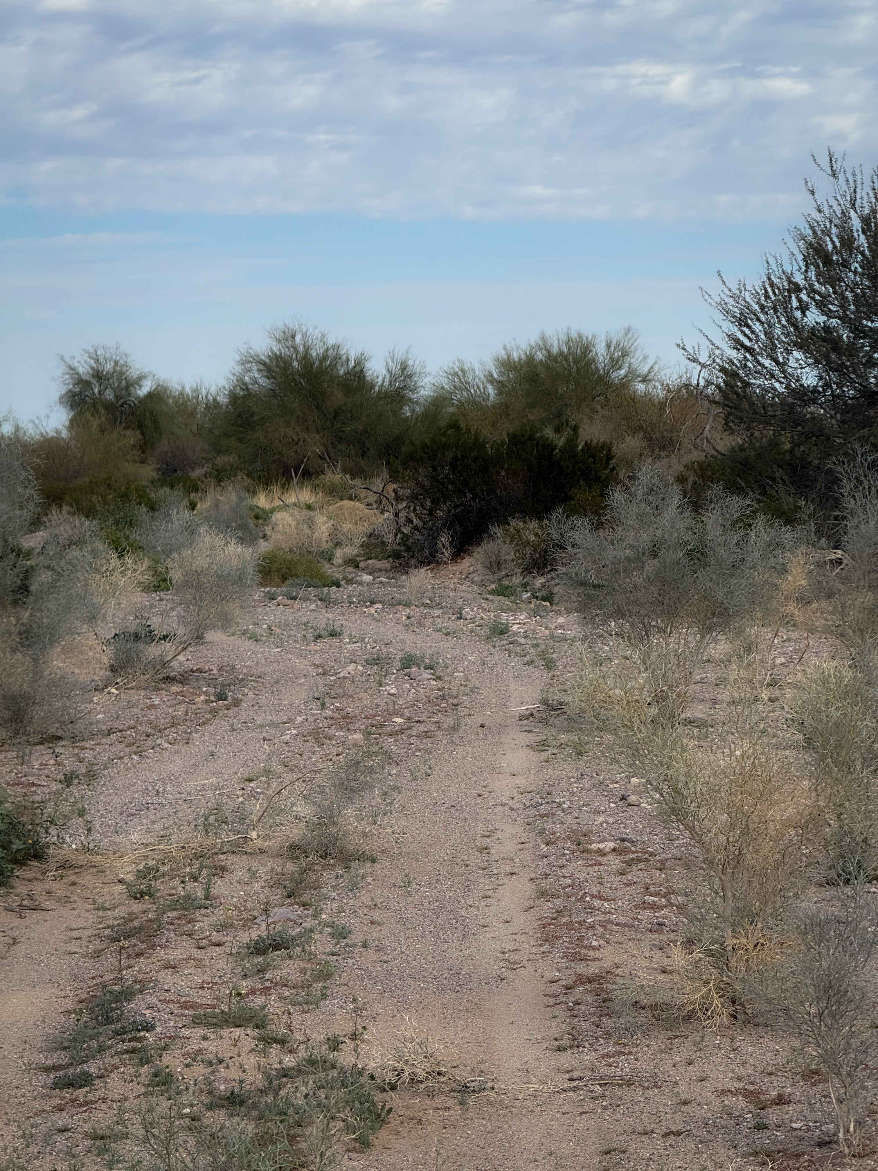
Trail Overview
This is a rough and washboarded gravel road from IH-17 to Crown King via Bumble Bee Road Route. There are several sharp switchbacks and blind corners. Last several miles before Crown King are single-vehicle width. Please observe speed limit signs and proceed cautiously. Severe and inclement weather may affect the route drastically. Monitoring the conditions while in use is encouraged.
Photos of Crown King Road
Difficulty
This is a rural county road providing access to Crown King. It is rough and mostly unmaintained.
Status Reports
Crown King Road can be accessed by the following ride types:
- High-Clearance 4x4
- SUV
Crown King Road Map
Popular Trails

Alamo Springs
AZ Peace Trail Red Raven to Chicken Foot

West Camp Wood West
The onX Offroad Difference
onX Offroad combines trail photos, descriptions, difficulty ratings, width restrictions, seasonality, and more in a user-friendly interface. Available on all devices, with offline access and full compatibility with CarPlay and Android Auto. Discover what you’re missing today!