Powerline Loop Trail
Total Miles
8.8
Technical Rating
Best Time
Spring, Summer, Fall
Trail Type
High-Clearance 4x4 Trail
Accessible By
Trail Overview
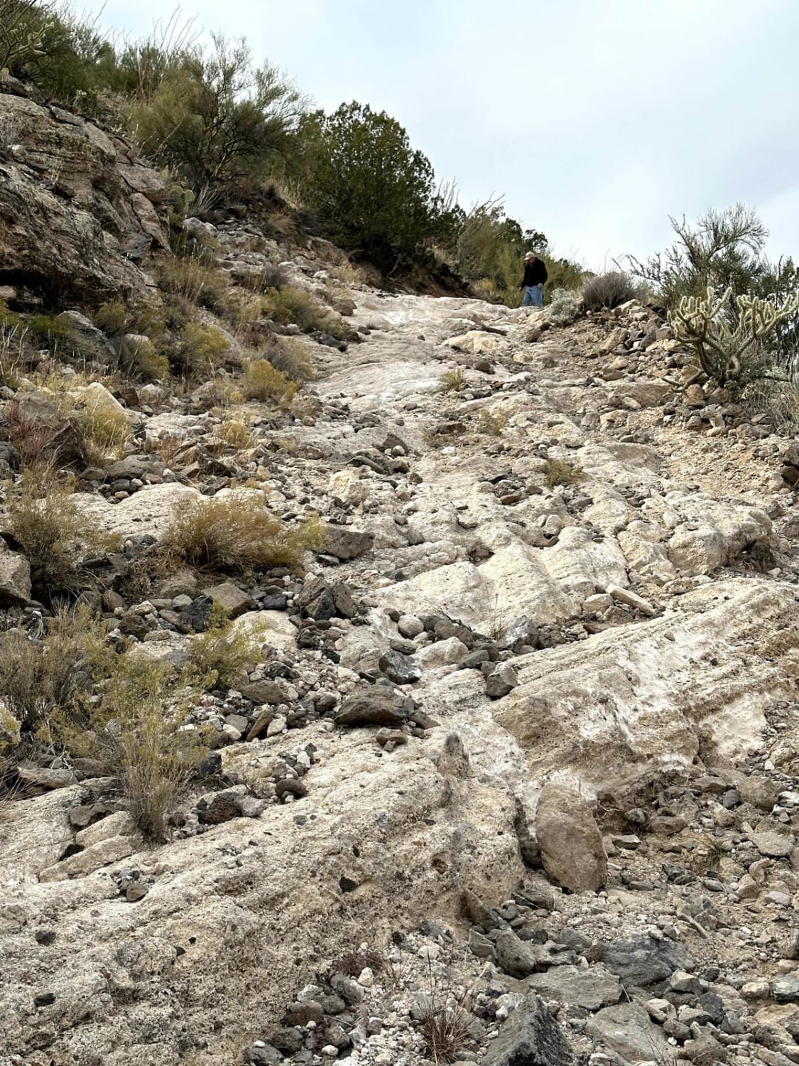
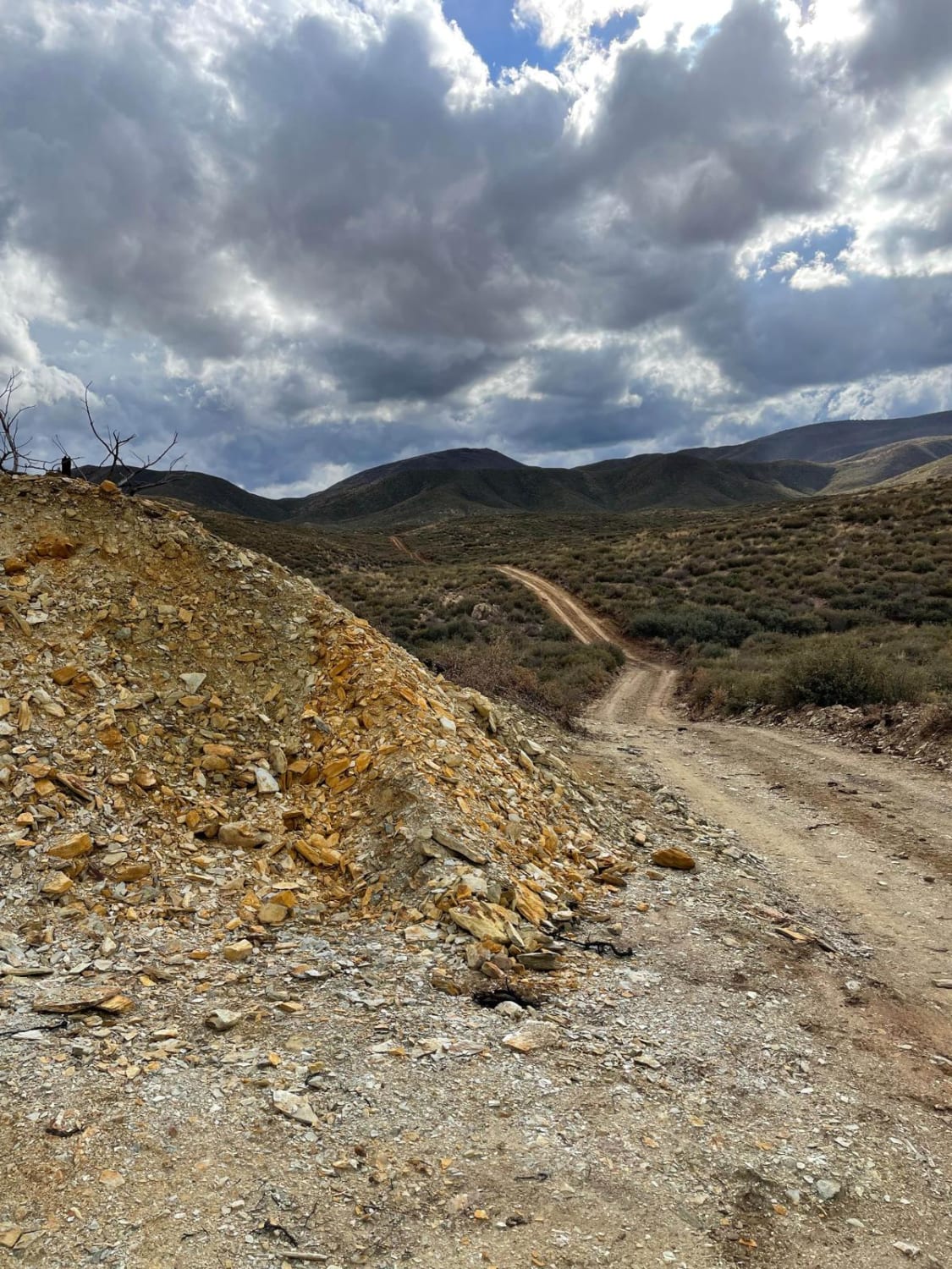
This 8.8-mile loop trail is an old service road for power lines. This trail has many steep grades and passes through several different washes and canyons. Depending on the direction of travel you will be making a lot of steep ascents/descents with small rock shelves (less than 12"). Enjoy the beauty of the high desert as you pass through groups of Saguaro, Prickly Pear, and Chollas Cactus. You will also pass several amazing rock formations.
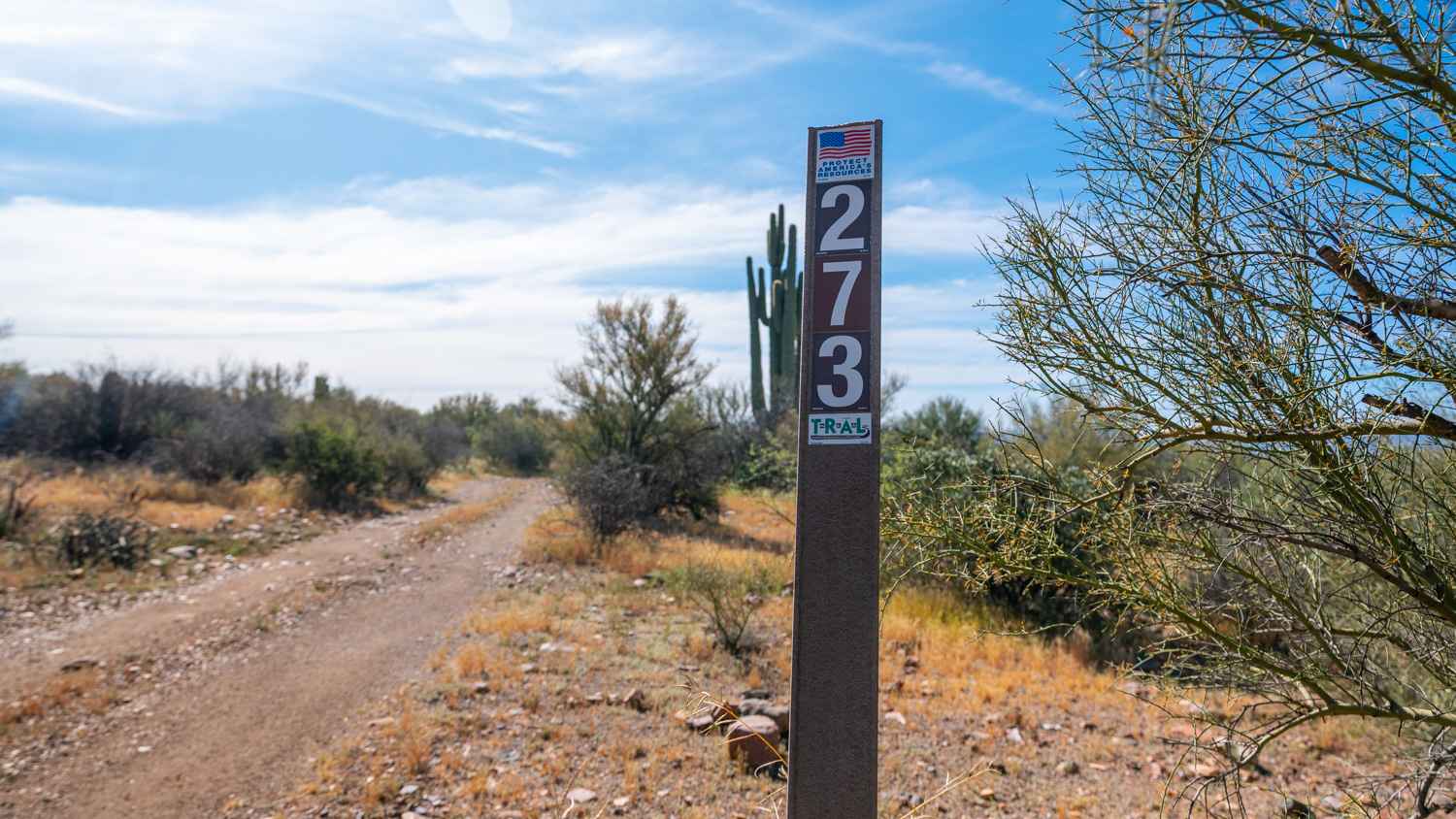
Photos of Powerline Loop Trail

Difficulty
This trail has many steep ascents/descents with loose rocks and rock shelves. Passable with high clearance 4X4 vehicle.
Status Reports
Powerline Loop Trail can be accessed by the following ride types:
- High-Clearance 4x4
- SxS (60")
- ATV (50")
- Dirt Bike
Powerline Loop Trail Map
Popular Trails
9211A to Buckhorn Trail
North Tumacacori Trail
The onX Offroad Difference
onX Offroad combines trail photos, descriptions, difficulty ratings, width restrictions, seasonality, and more in a user-friendly interface. Available on all devices, with offline access and full compatibility with CarPlay and Android Auto. Discover what you’re missing today!