Pigeon Canyon Road-BLM1002
Total Miles
10.2
Technical Rating
Best Time
Spring, Summer, Fall
Trail Type
Full-Width Road
Accessible By
Trail Overview
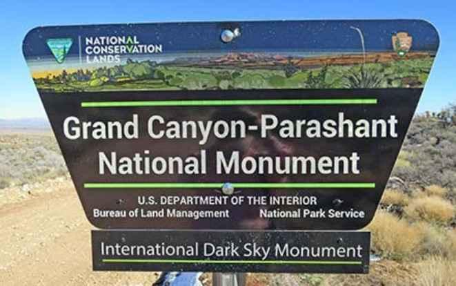
Pigeon Canyon Road-BLM1002 is a 10-mile double-track road that is rated 3 of 10. Pigeon Canyon Road generally runs east/west and is located within the Grand Canyon-Parashant National Monument. The two main features along this trail are the Upper and Lower Pigeon Springs. The upper springs are located in Gardner Canyon while the lower springs are located within Coyote Canyon. Pigeon Canyon Road-BLM1002 is usually appropriate for all high-clearance 4x4s to the Grand Gulch Mine. However, in Upper Pigeon Canyon, if the canyon has flooded, up to 6-foot-high cut banks may form across the washes and the road may be impassable until repaired. Bring a shovel if it has rained recently to knock the edge off smaller cut banks so they are passable. Several side trails lead to existing or extinct mining sites. Be careful exploring these areas, as there is old rusty metal that may damage tires. Observe and respect any no-trespassing signs and areas. There is no water, gas, food, lodging, Wi-Fi, or cell service. Visitors should be advised that towing charges in the event of vehicles becoming stuck or damaged are in the region of $3,000. Areas above 5000 feet may not be accessible in winter months due to mud and snow.
Photos of Pigeon Canyon Road-BLM1002
Difficulty
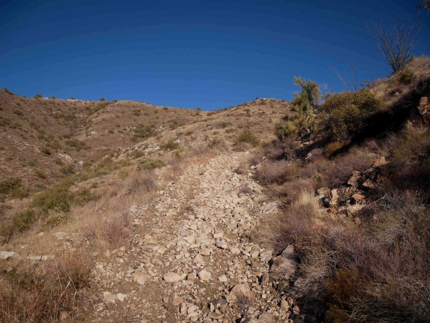
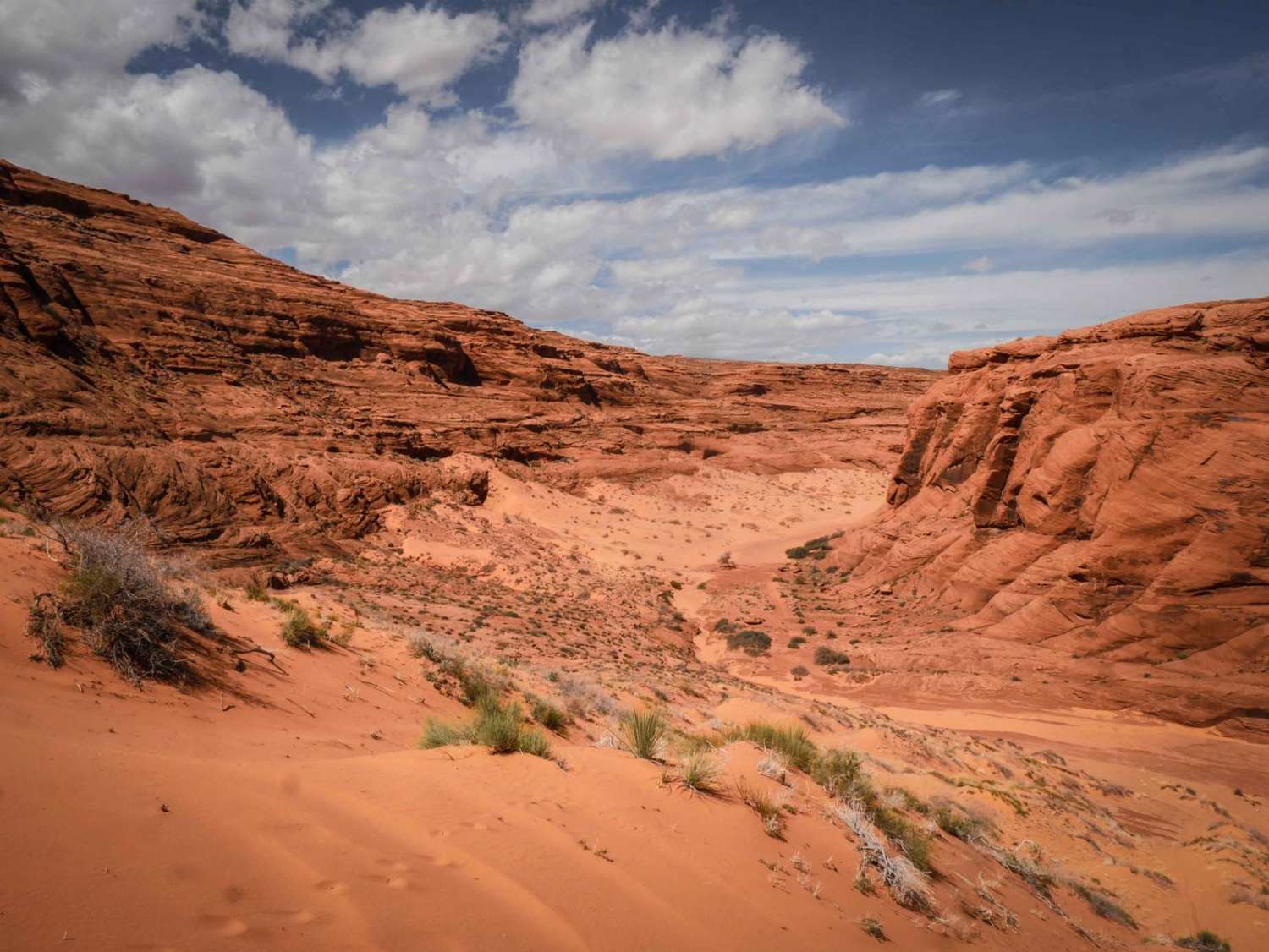
The trail consists of loose rocks, dirt, and sand with some slick rock surfaces and mud holes possible. No steps are higher than 12 inches. 4WD may be required, and aggressive tires are a plus.
Status Reports
Pigeon Canyon Road-BLM1002 can be accessed by the following ride types:
- High-Clearance 4x4
- SUV
- SxS (60")
- ATV (50")
- Dirt Bike
Pigeon Canyon Road-BLM1002 Map
Popular Trails
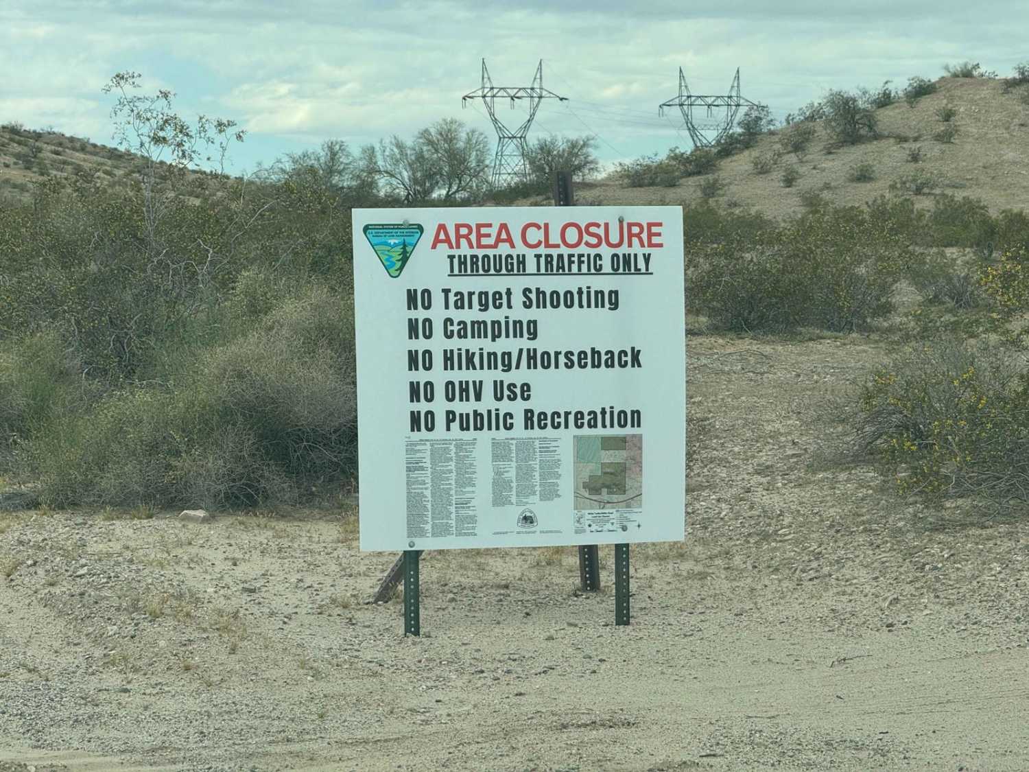
Tonopah-Salome Highway
Harquahala Peak
The onX Offroad Difference
onX Offroad combines trail photos, descriptions, difficulty ratings, width restrictions, seasonality, and more in a user-friendly interface. Available on all devices, with offline access and full compatibility with CarPlay and Android Auto. Discover what you’re missing today!

