North Fool Hollow
Total Miles
3.4
Technical Rating
Best Time
Spring, Summer, Fall
Trail Type
High-Clearance 4x4 Trail
Accessible By
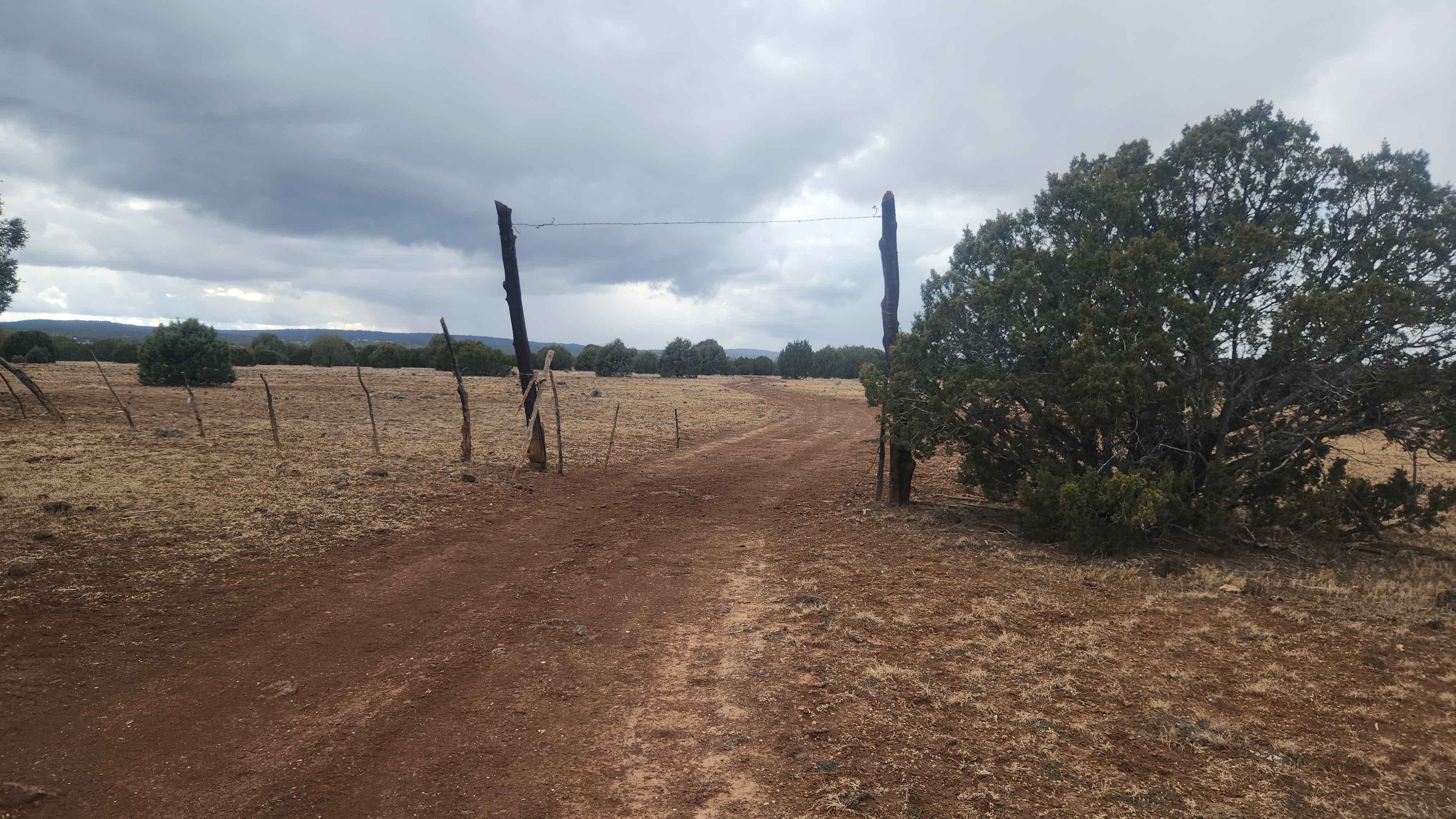
Trail Overview
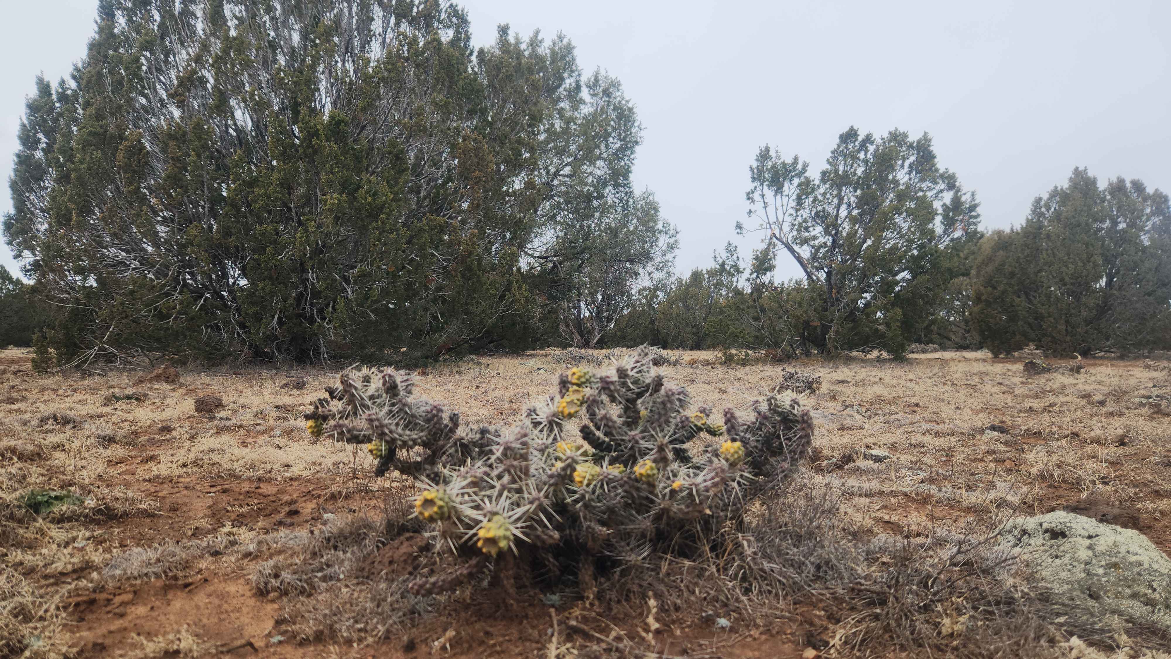
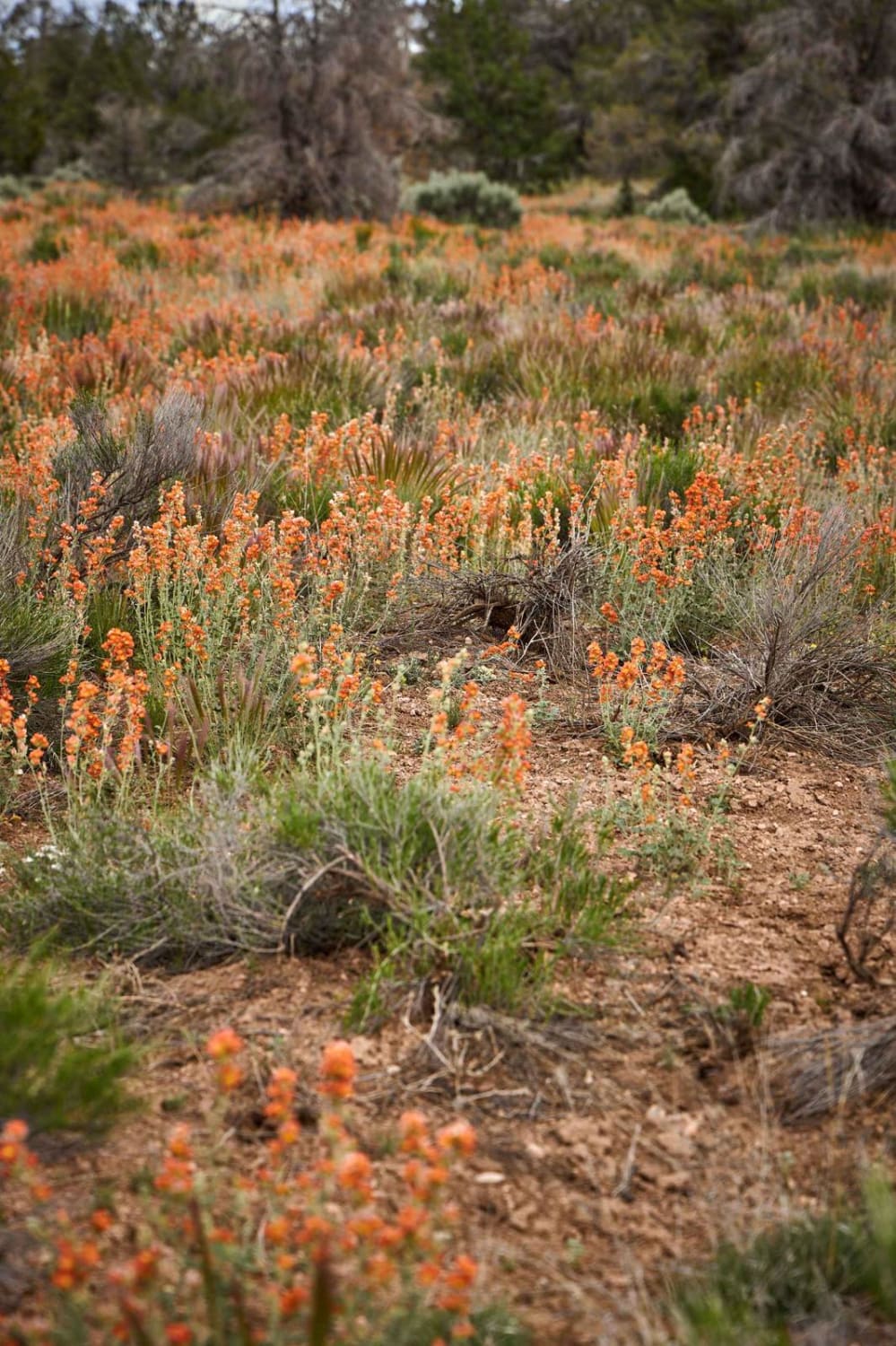
Should you decide to take this trail, please know it is very slow going due to the amount of Malapais and rock in the trail. If you air down, it might help. Along this trip, you will cross over into the Apache-Sitgreaves Forest and see some wonderful Juniper, and if you get out and hike a short distance, you will be treated to views of Fool Hollow Lake. We saw the FR137B and thought we would take it to the North West side of the Lake. When you first start the FR137B near State Route 77 is nonexistent, but you can work your way around 9710B to 9701K4 and then catch the FR137B to head west. There are a couple of side spurs that end near Show Low Creek - very rocky and small views.
Photos of North Fool Hollow
Difficulty
This trail is very rocky and slow going. It can be hard on your tires and suspension. There are no large rocks like rock crawling, but if you know Northern Arizona's rocky roads, this is definitely one. The FR137B and its side spurs all dead-end. In some parts, you lose track of the trail and have to hunt it down due to the rocks.
North Fool Hollow can be accessed by the following ride types:
- High-Clearance 4x4
North Fool Hollow Map
Popular Trails
Little Horse Waterfall
Little Oak Spring Road BLM 1029

Rock Canyon Reservoir
26's Connector
The onX Offroad Difference
onX Offroad combines trail photos, descriptions, difficulty ratings, width restrictions, seasonality, and more in a user-friendly interface. Available on all devices, with offline access and full compatibility with CarPlay and Android Auto. Discover what you’re missing today!