Trail Overview
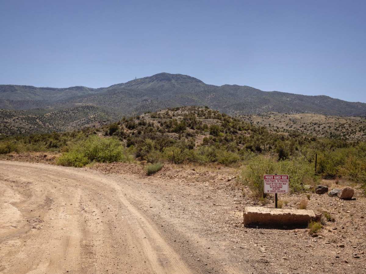
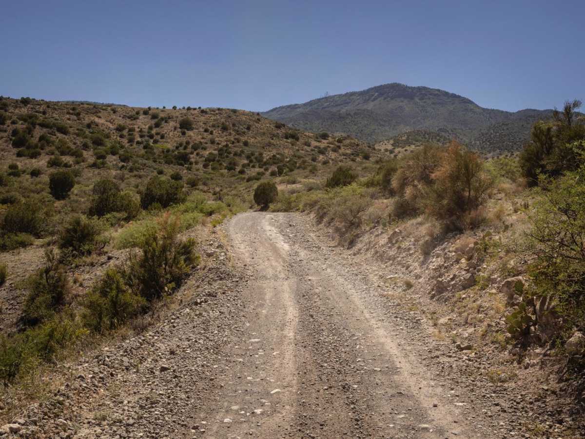
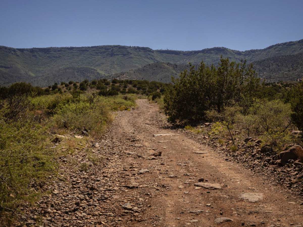
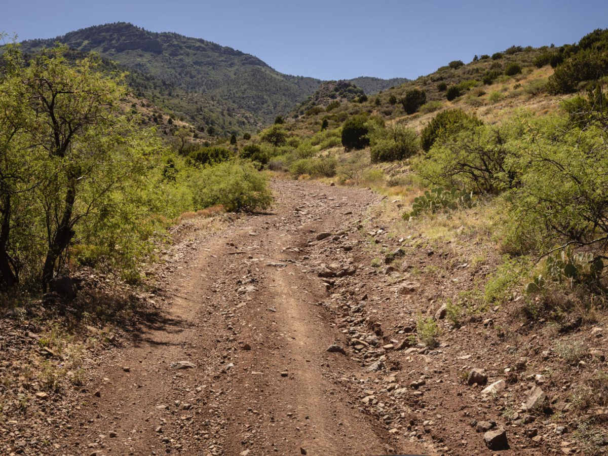
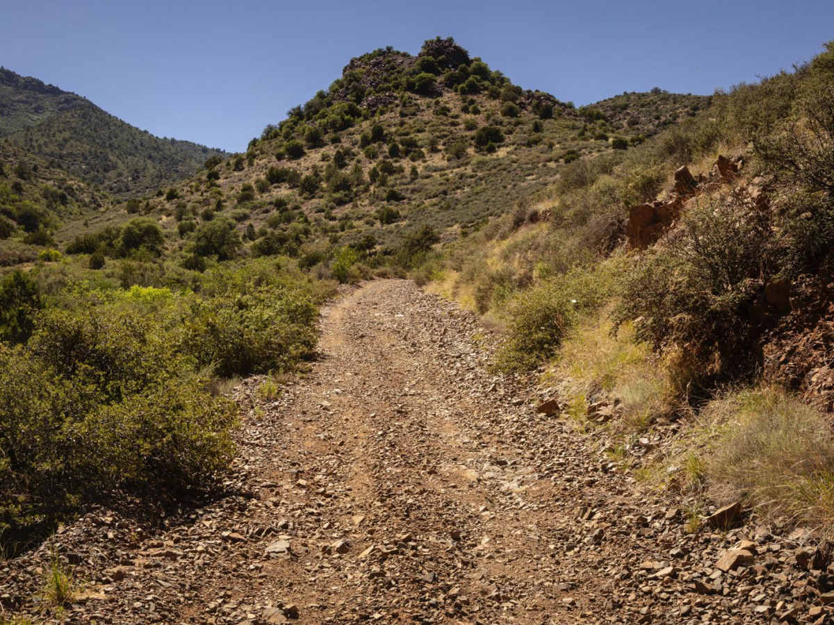
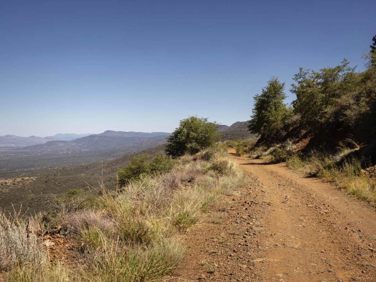
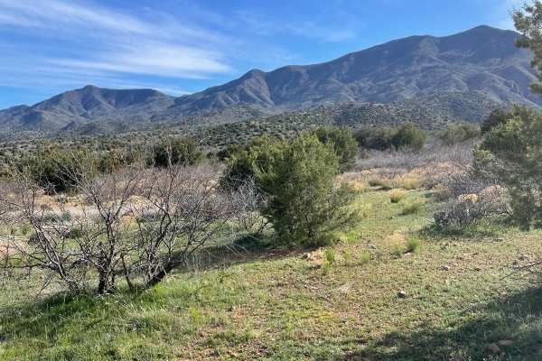
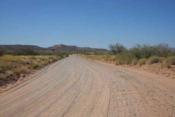
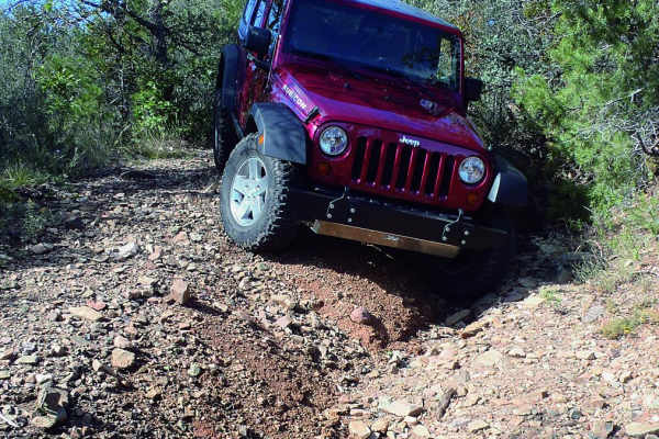
The Mingus Mountain Trail is a rugged, scenic climb that winds its way up the steep mountain between Cottonwood and the summit of Mingus Mountain. It's known for being entirely a shelf road, with frequent tight hairpin turns, exposed edges, and minimal margin for error. This is a high-clearance, short wheelbase-friendly trail--not recommended for full-size rigs unless well-equipped and experienced. The route is rocky and consistently bumpy, with natural ledges, steep grades, and sections of loose rock that can become slick or unstable, especially in dry heat or following rain. It's a demanding trail even in good conditions, often requiring slow, technical driving and careful line choice. Several natural springs trickle along the route, offering brief respites of greenery in an otherwise arid climb. While camping options exist near the summit or off connecting routes, the main climb is narrow and exposed, not ideal for pullouts or staging. The campsites are of varying size, which can accommodate trucks with larger trailers and some, even Class A-type vehicles. Some of these campsites have primitive fire rings. Please remember to check local listings and county regulations before having a fire, as this area is prone to large and uncontrollable wildfires. Trail Features:Terrain: Steep, rocky mountain road with natural ledges and loose rockExposure: Full shelf road with cliffside driving nearly the entire routeTechnical: Tight switchbacks, minimal passing zones, off-camber sectionsScenery: Sweeping views of the Verde Valley, forested upper elevationsHazards: Heat, rollover potential, rockfall, no guardrails Service: Sparse to none on climb; spotty near summitCamping: Limited near summit or on side This is one of those trails where 4Lo and focus are mandatory. The payoff is a thrilling mountain ascent with epic views and cooler temps at the top, but it's not for the faint of heart.
Difficulty
This is an unmaintained trail that has steep inclines, rough uneven hairpin turns, ruts, rock ledges, loose rock, and more. If you run from East to West, be cognizant of your vehicle overheating on the steep climbs.
History
Mingus Mountain, a prominent landmark in central Arizona, has a rich history intertwined with mining, recreation, and the Civilian Conservation Corps (CCC). The mountain's namesake comes from the Mingus brothers, who settled in the area in the 1880s and operated a sawmill. Later, the area became popular for recreation, with the opening of Mingus Pass for automobiles in 1920, the establishment of the Mingus Mountain Inn in 1925, and the development of a winter sports area in 1941.