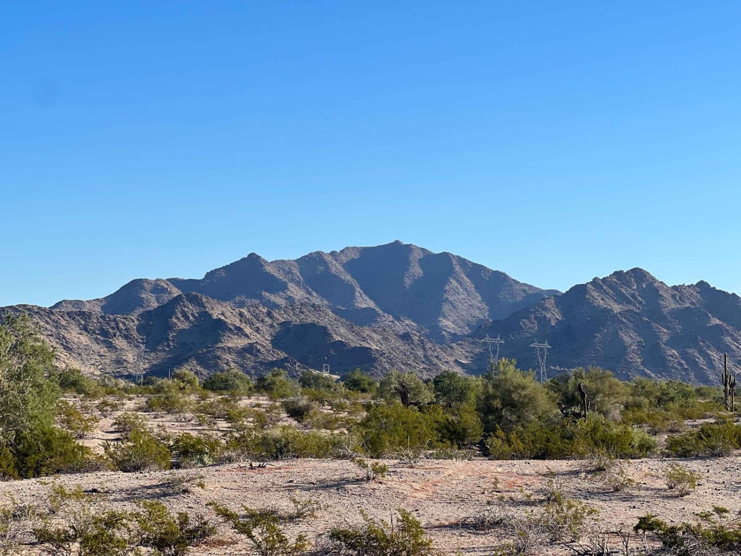
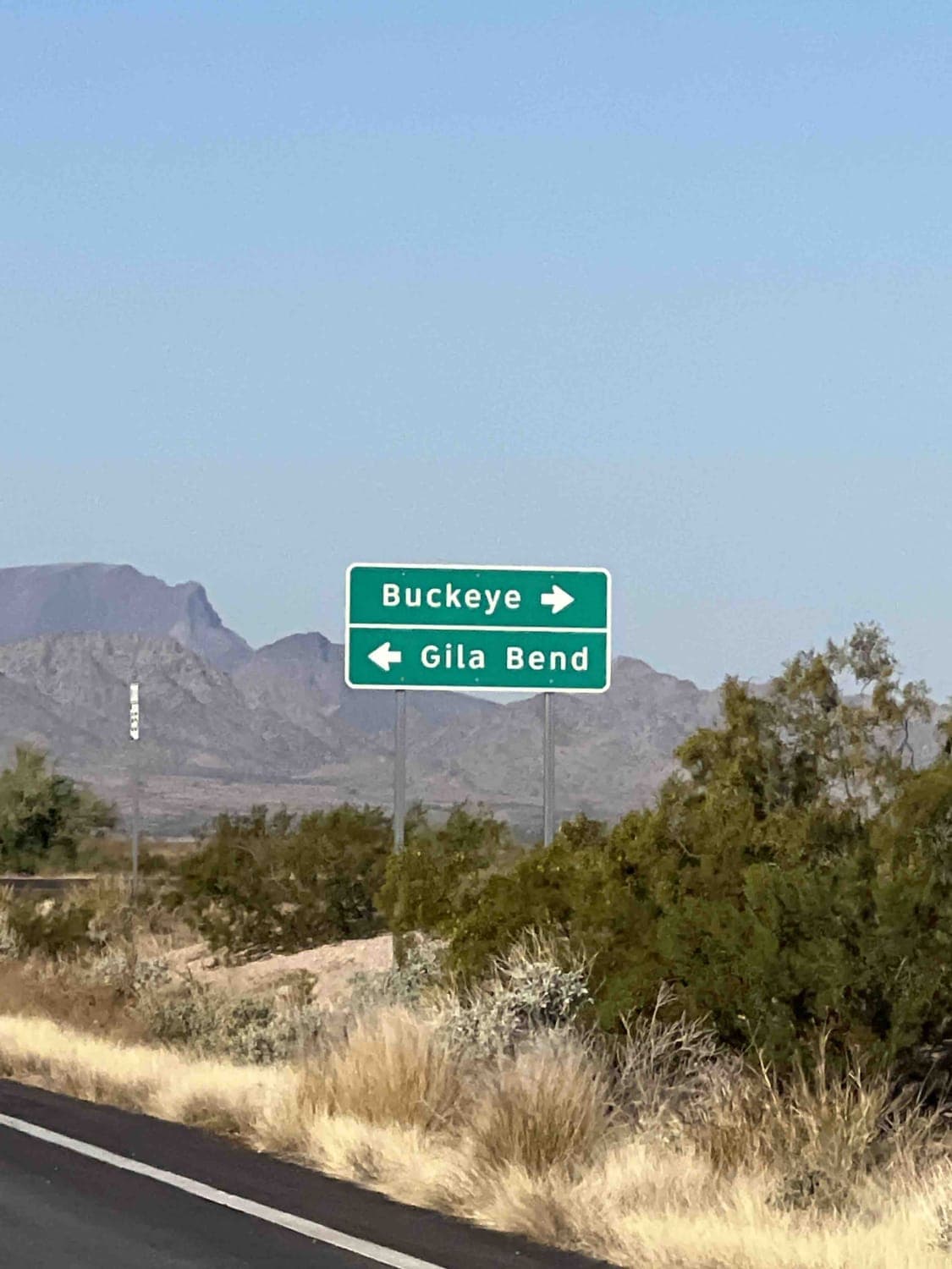
Margie's Cove Trail
Total Miles
5.6
Technical Rating
Best Time
Spring, Fall, Winter
Trail Type
Full-Width Road
Accessible By
Trail Overview
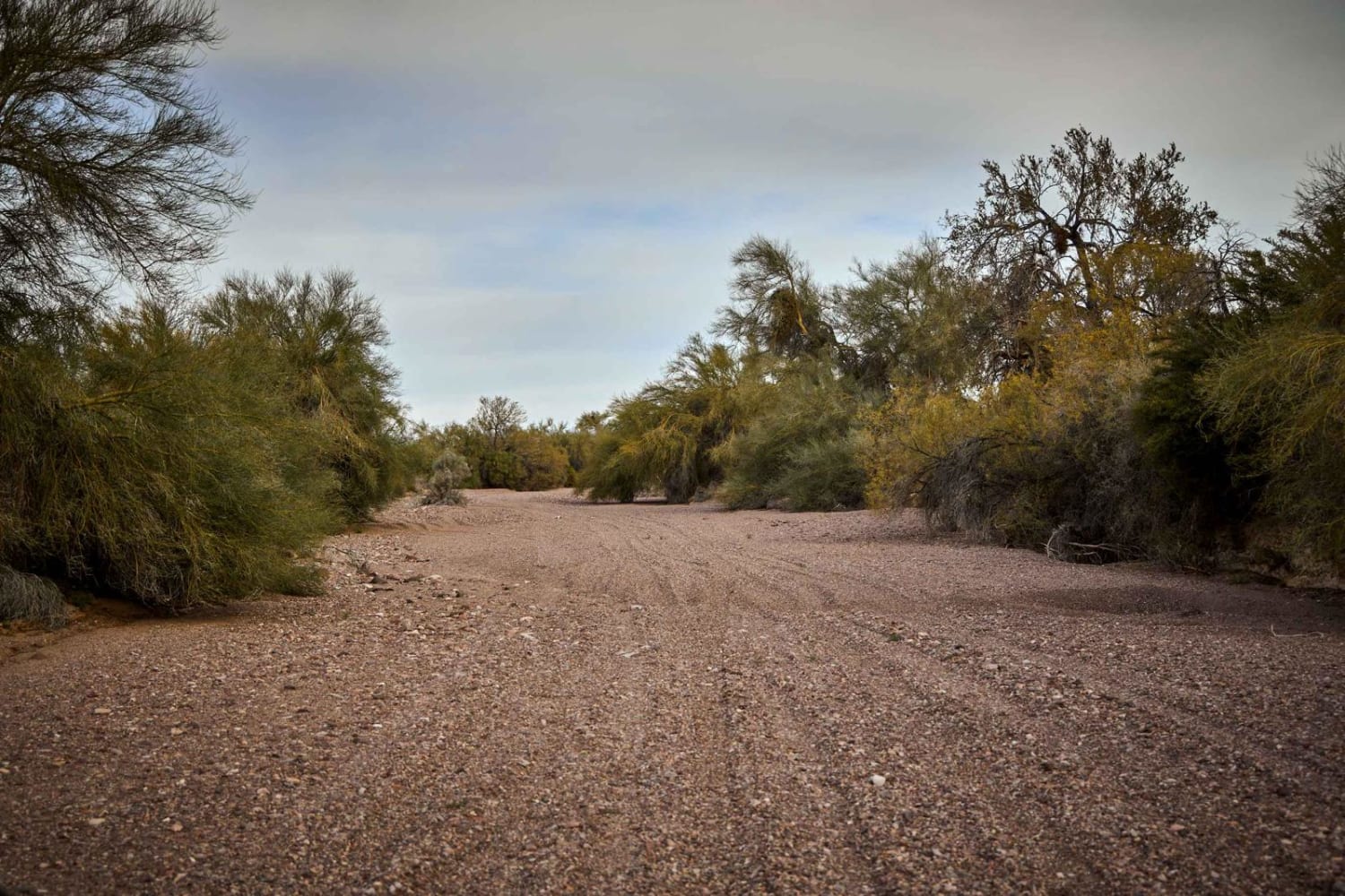
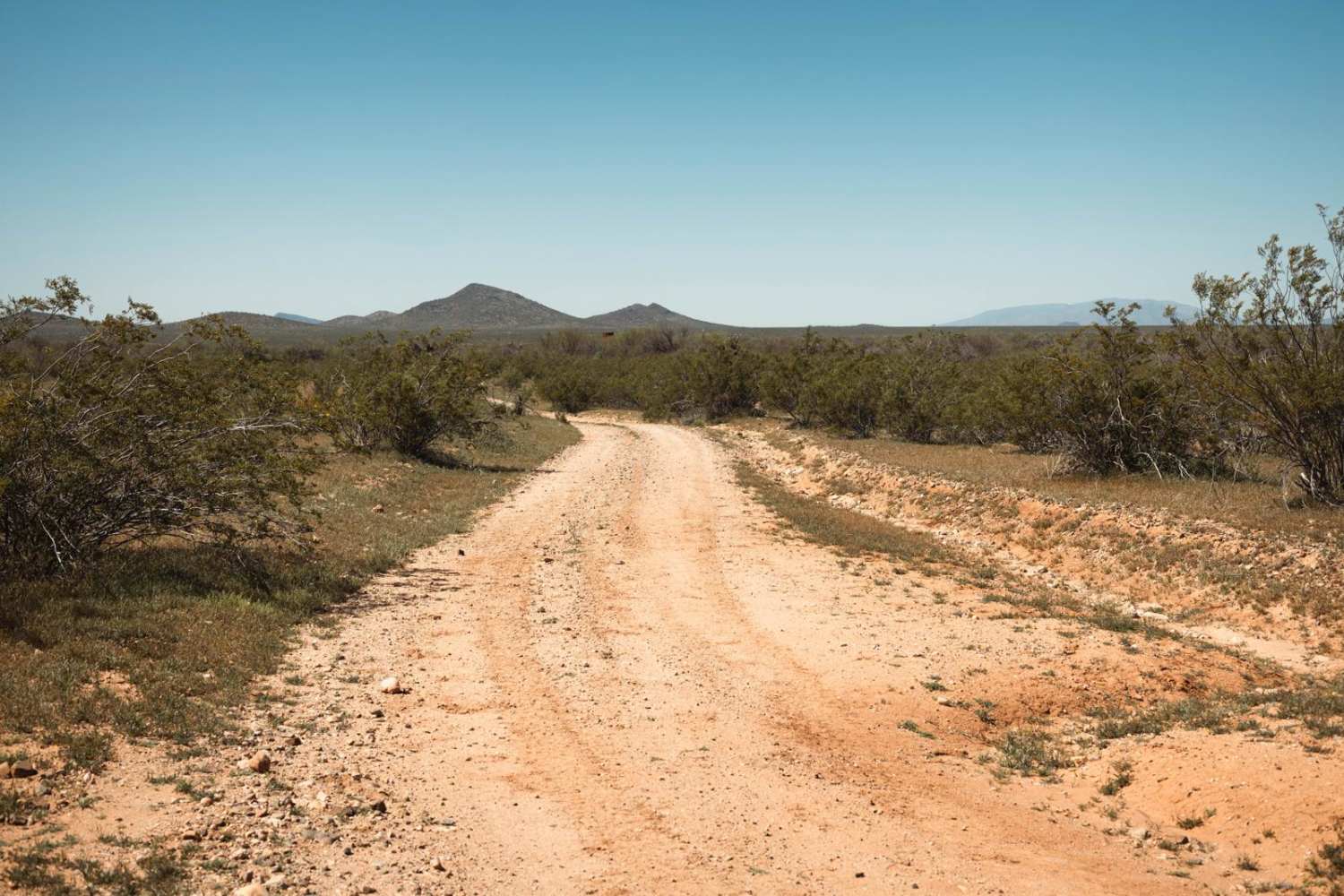
Margie's Cove Trail skirts the south side of Margie's Peak, splitting the Sonoran Desert National Monument and North Maricopa Wilderness. The trail is mostly a rutted dirt track with long stretches of soft sand. You will cross many washes along the trail. The trail ends at the dispersed campground Margie's Cove. Although not very technical in most places, this trail can be quite hazardous in inclement weather due to the many washes you will need to cross. There are ruts of 12-18 inches in some places, although good tire placement will get most 2WD vehicles through without issue.
Photos of Margie's Cove Trail
Difficulty
This trail crosses multiple washes of at least 12 inches deep, so heavy rain can cause flash flooding. Some entrances and departures from the washes can be a bit steep for low clearance vehicles.
Status Reports
Margie's Cove Trail can be accessed by the following ride types:
- High-Clearance 4x4
- SUV
- SxS (60")
- ATV (50")
- Dirt Bike
Margie's Cove Trail Map
Popular Trails
Central Red Raven Wash

The Great Western Trail 150
Knight Tank Passerby

FR245 Honey Trap Loop
The onX Offroad Difference
onX Offroad combines trail photos, descriptions, difficulty ratings, width restrictions, seasonality, and more in a user-friendly interface. Available on all devices, with offline access and full compatibility with CarPlay and Android Auto. Discover what you’re missing today!