Hidden Valley
Total Miles
1.3
Technical Rating
Best Time
Winter, Fall, Spring
Trail Type
Single Track
Accessible By
Trail Overview
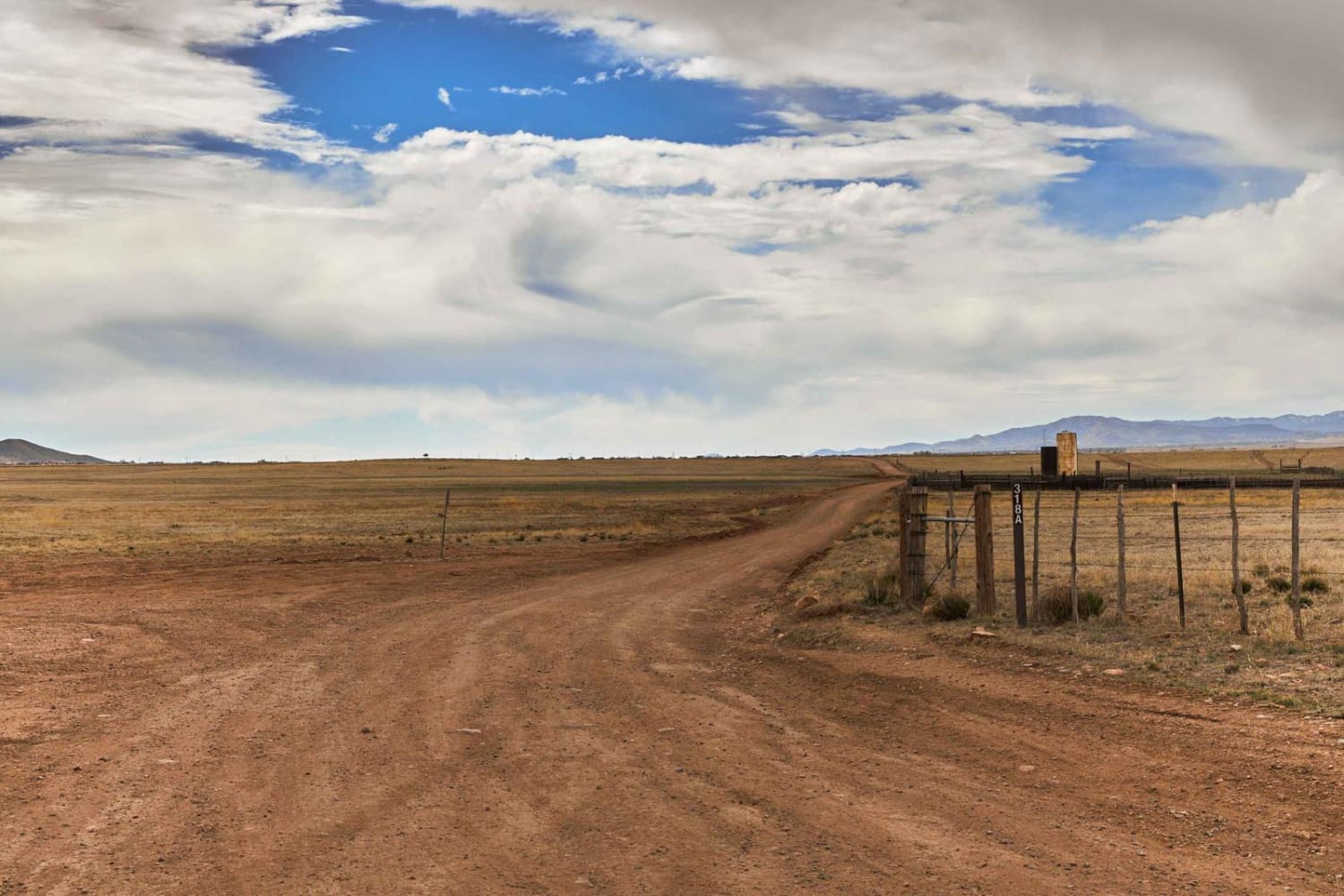
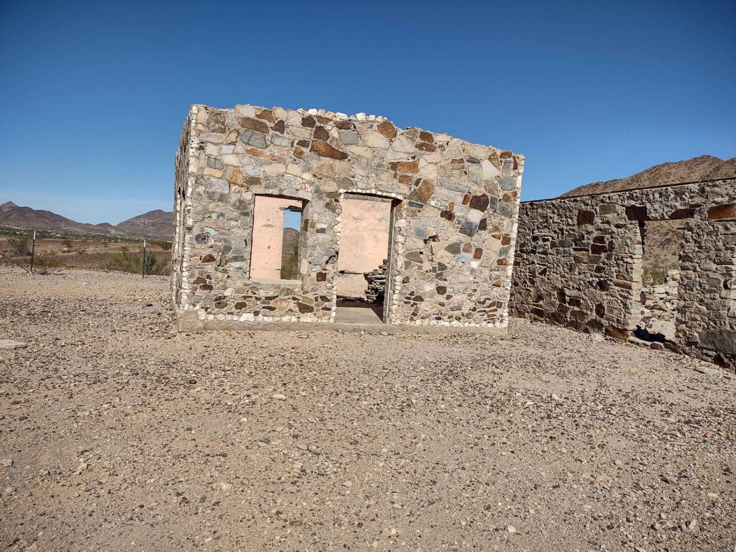
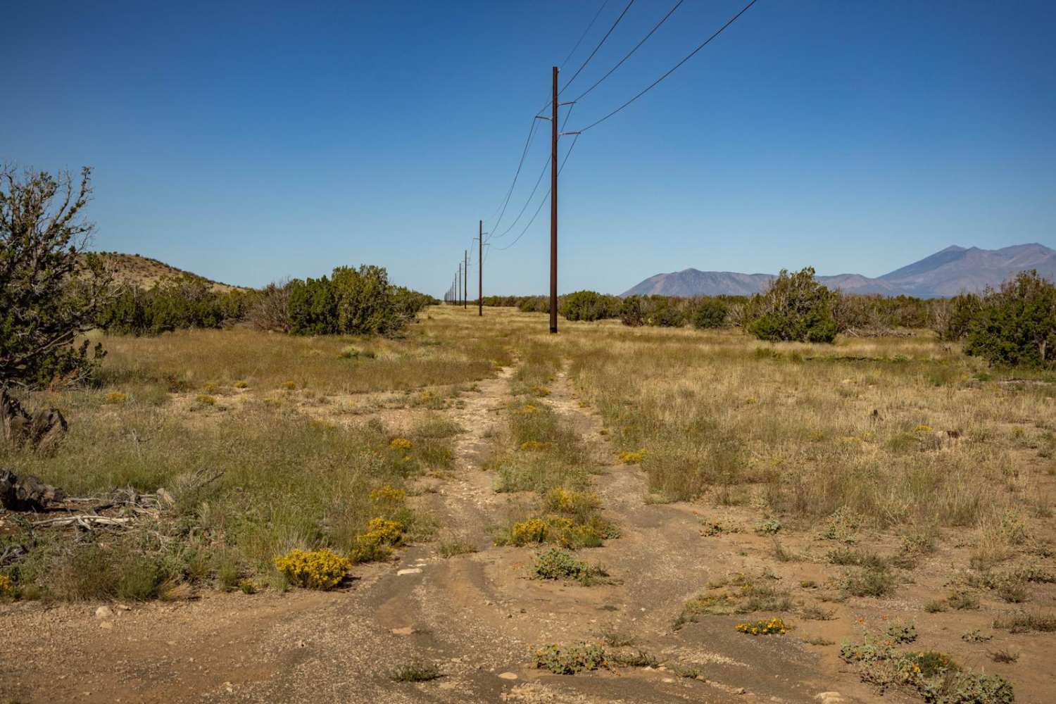
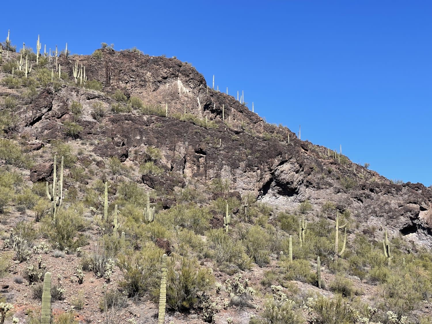
This is a 1.3-mile-long segment of primitive dirt bike trail through BLM land, accessed off of BLM Route 1273. The trail is lightly trafficked and faint at times, and will require some good navigation and a GPS track. It goes through a flat and barren desert terrain over hard-packed dirt and gravel, with distant mountain views to the north and south. There are volcanic, sharp rocks in the trail at times, often softball-sized, and easy to ride over, but they add to the technical element. The trail has a few small wash crossings and sudden dips to watch out for. It's hard to keep on track as there are not many tracks to follow. It rides past big ocotillos and saguaro cactus. The trail often drops down a foot to another layer of uneven ground between the washes and bushes. The west end becomes more primitive and faint, going through lots of bushes and over more embedded rocks. You want a GPS here to stay on track, and it feels like bushwhacking at times. It ends at private property on the west end.
Photos of Hidden Valley


Difficulty
Although this trail requires a bit of route finding and navigation, it is still easy, as there are no major rock ledges or obstacles. It has more frequent small round rocks in the trail to ride over, but nothing major. Expect typical desert elements, including ruts, ravines, washes, and changing conditions with erosion.
Status Reports
Hidden Valley can be accessed by the following ride types:
- Dirt Bike
Hidden Valley Map
Popular Trails
Woodchute Mtn/Smiley Rock Connector
Granite Mountain Loop
The Fun Side of the Black Hills
The onX Offroad Difference
onX Offroad combines trail photos, descriptions, difficulty ratings, width restrictions, seasonality, and more in a user-friendly interface. Available on all devices, with offline access and full compatibility with CarPlay and Android Auto. Discover what you’re missing today!