Harbison Bloody Tank Road
Total Miles
7.3
Technical Rating
Best Time
Spring, Summer, Fall
Trail Type
Full-Width Road
Accessible By
Trail Overview
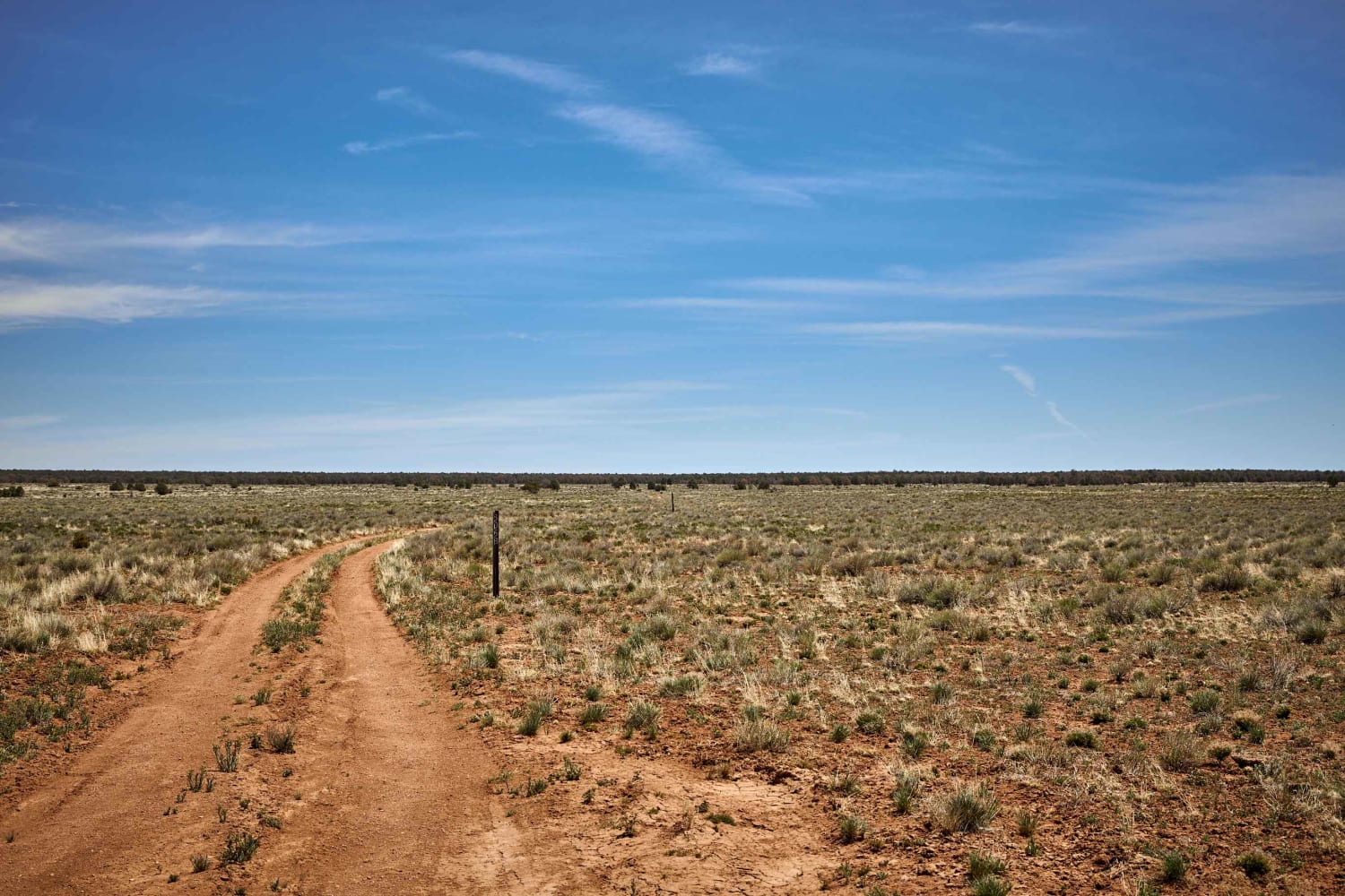
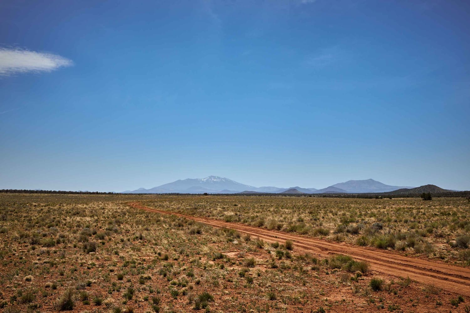
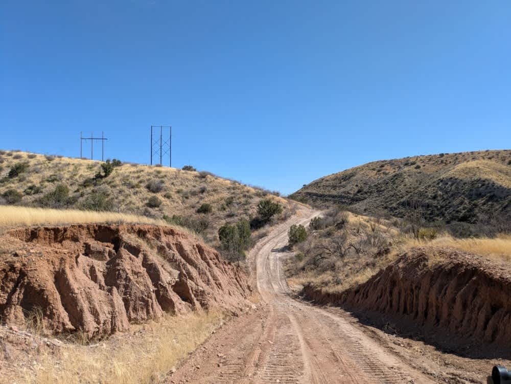
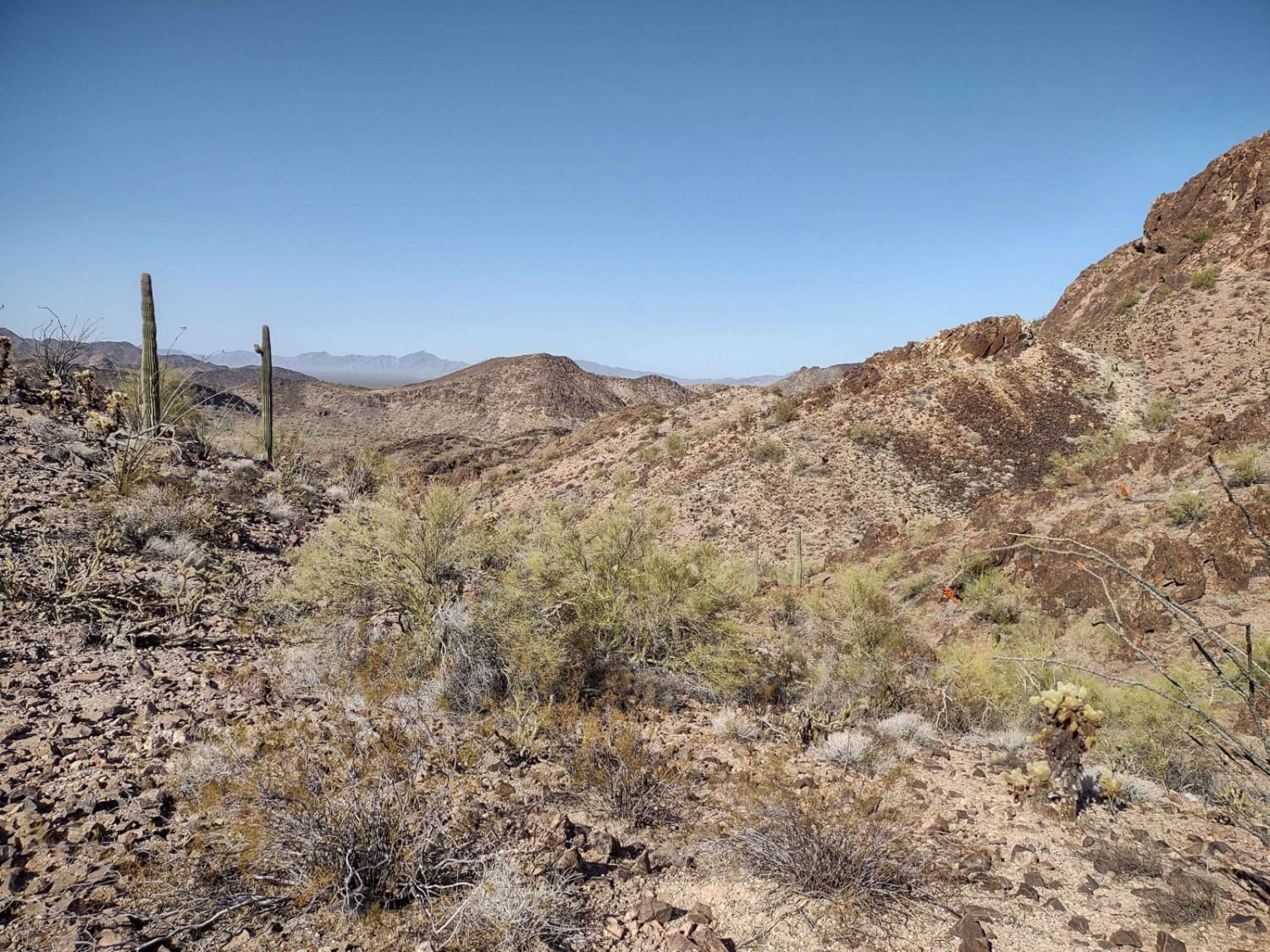
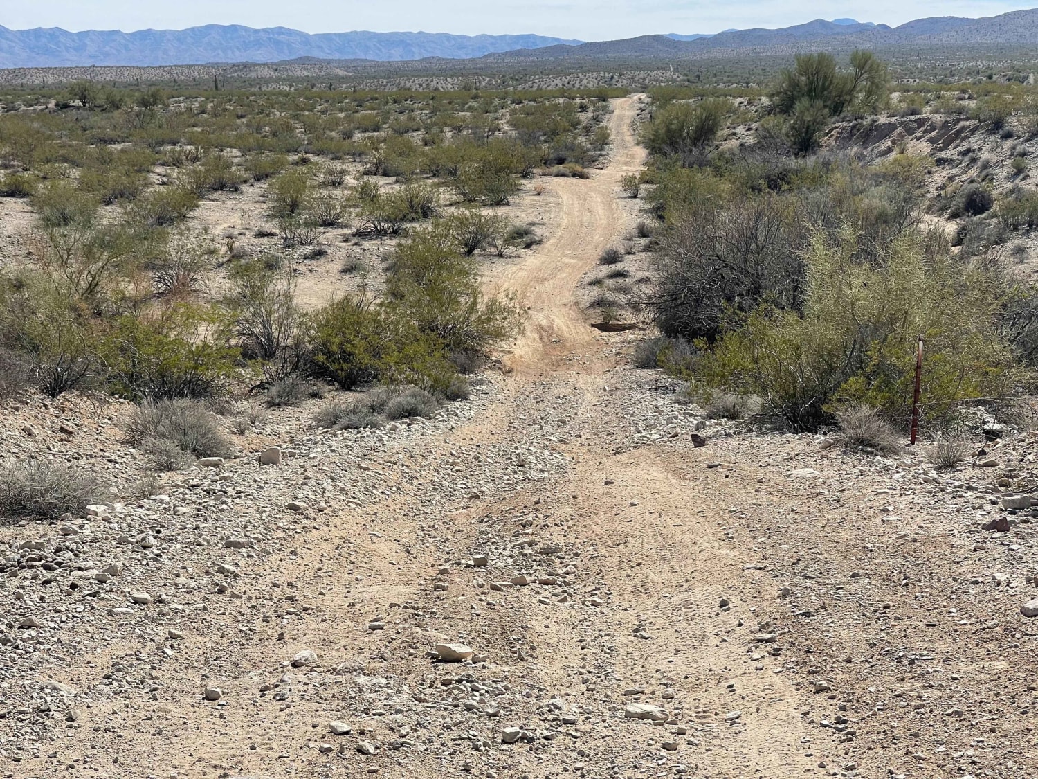
Harbison Bloody Tank Road starts in a beautiful valley at the edge of the Kaibab National Forest. Heading North, it moves through a mixed forest of pinon and ponderosa pine, and juniper trees. Along the trail, you might see cattle grazing alongside Elk and Wild Horses. What starts as a wide two-lane track at times reduces down to a single lane with mud ruts and rough rock. Not to worry, though, as there are no obstacles over 12" on this trail.
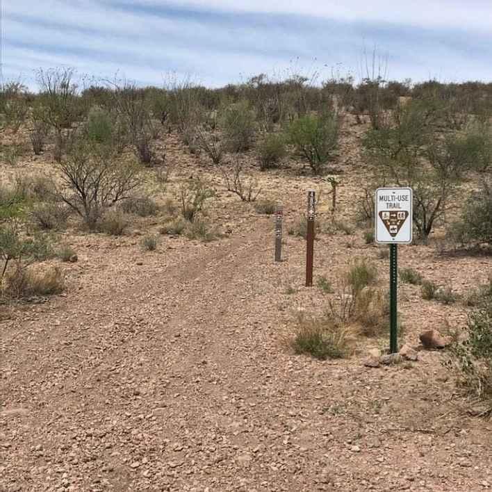
Photos of Harbison Bloody Tank Road
Difficulty
Unmaintained trail that may prove challenging after rain or snow.
Status Reports
Harbison Bloody Tank Road can be accessed by the following ride types:
- High-Clearance 4x4
- SUV
- SxS (60")
- Dirt Bike
Harbison Bloody Tank Road Map
Popular Trails
Bear Springs Canyon
Rockin' Ram Trail - Southern Section
Fun Fence Line Rip
The onX Offroad Difference
onX Offroad combines trail photos, descriptions, difficulty ratings, width restrictions, seasonality, and more in a user-friendly interface. Available on all devices, with offline access and full compatibility with CarPlay and Android Auto. Discover what you’re missing today!