Grapevine
Total Miles
3.4
Technical Rating
Best Time
Summer, Spring, Fall
Trail Type
Full-Width Road
Accessible By
Trail Overview
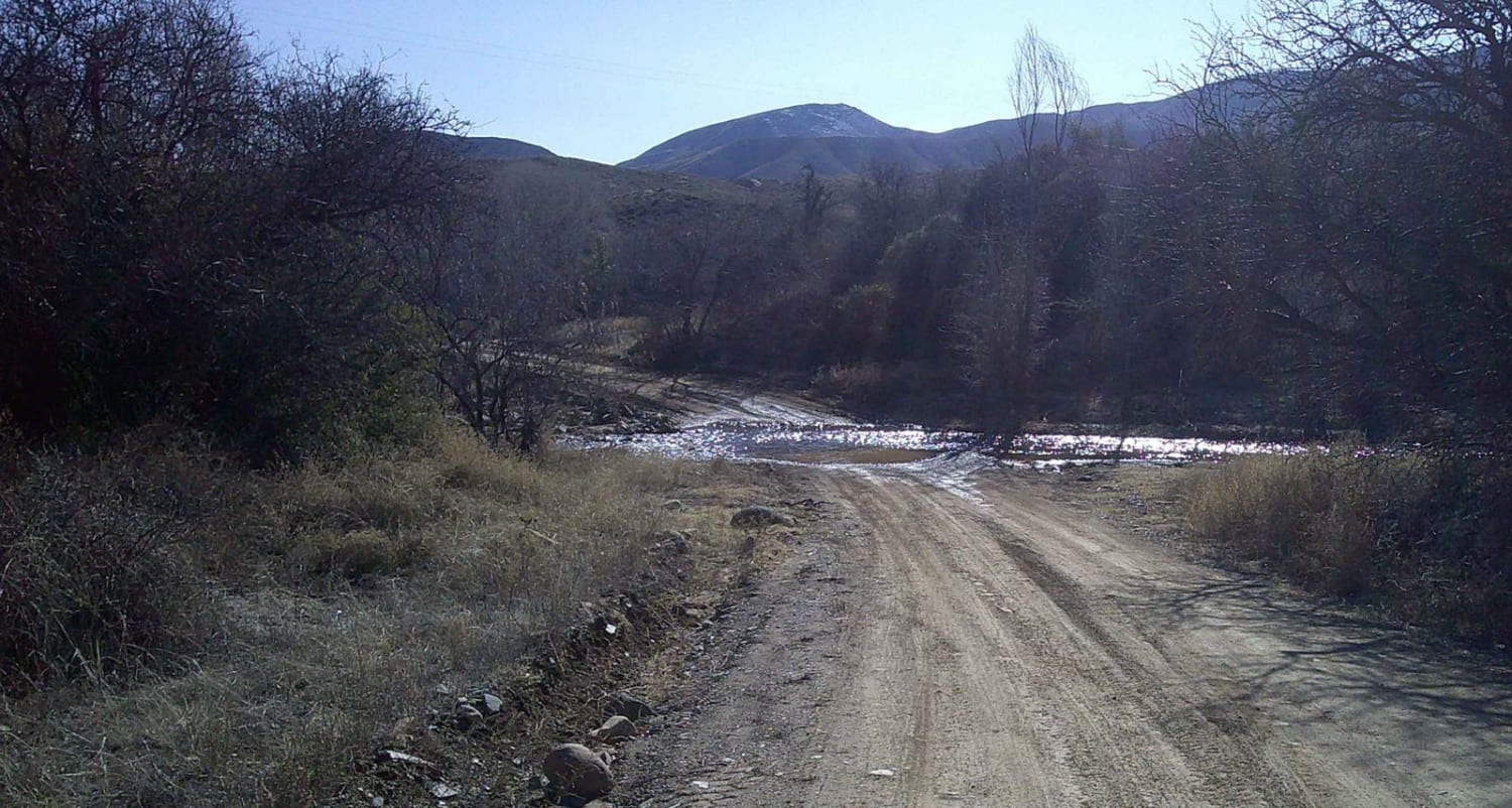
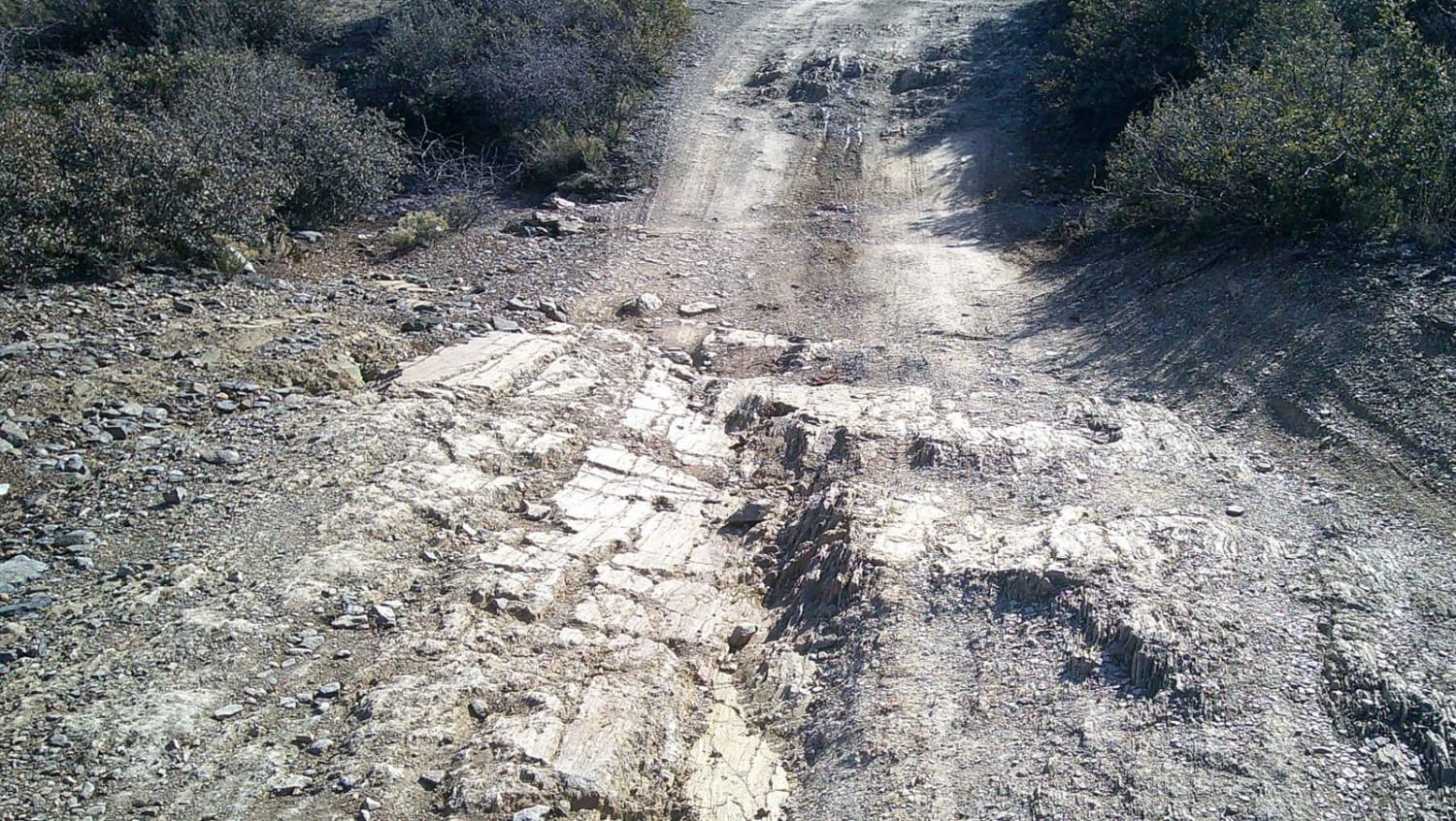
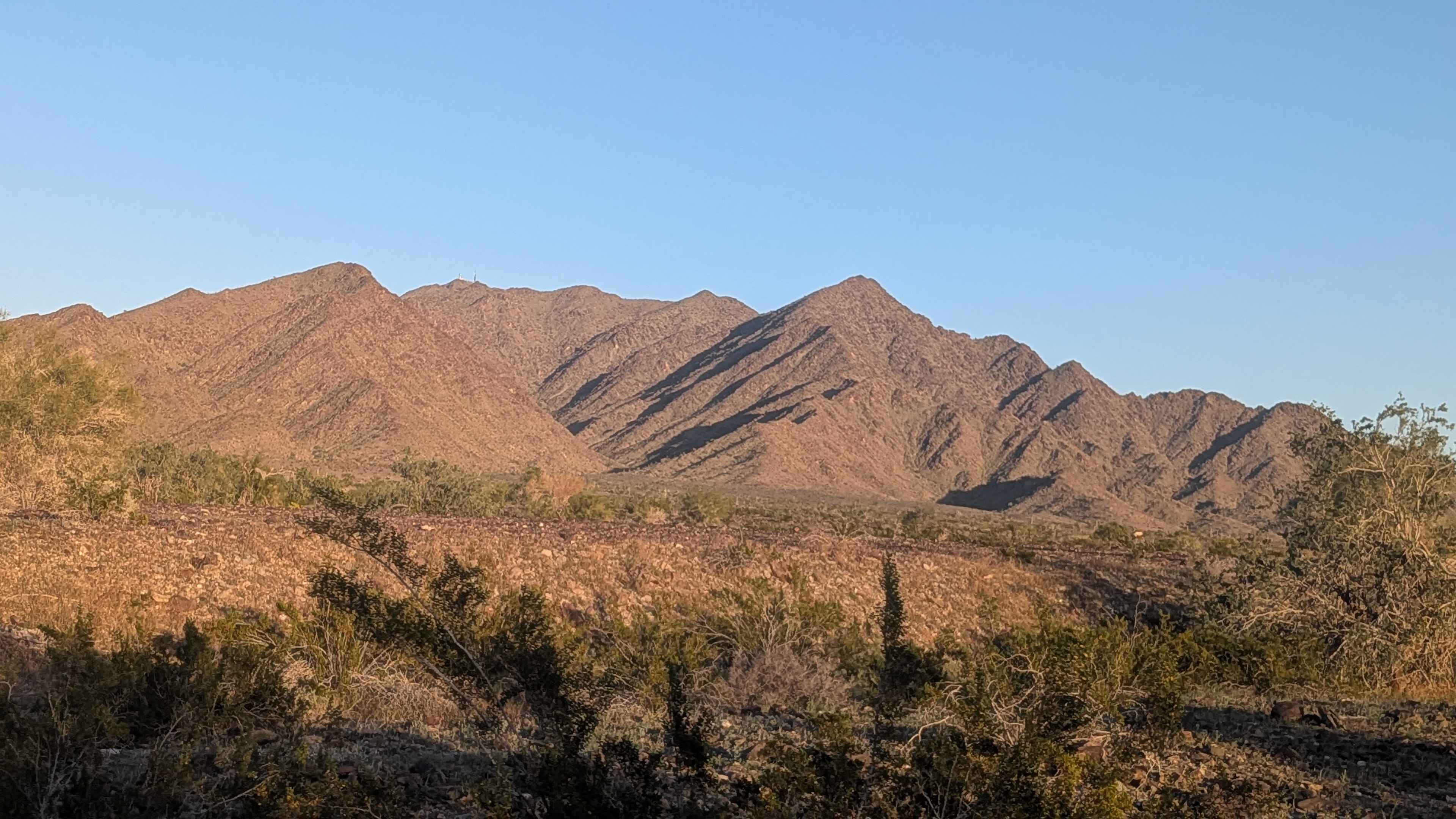
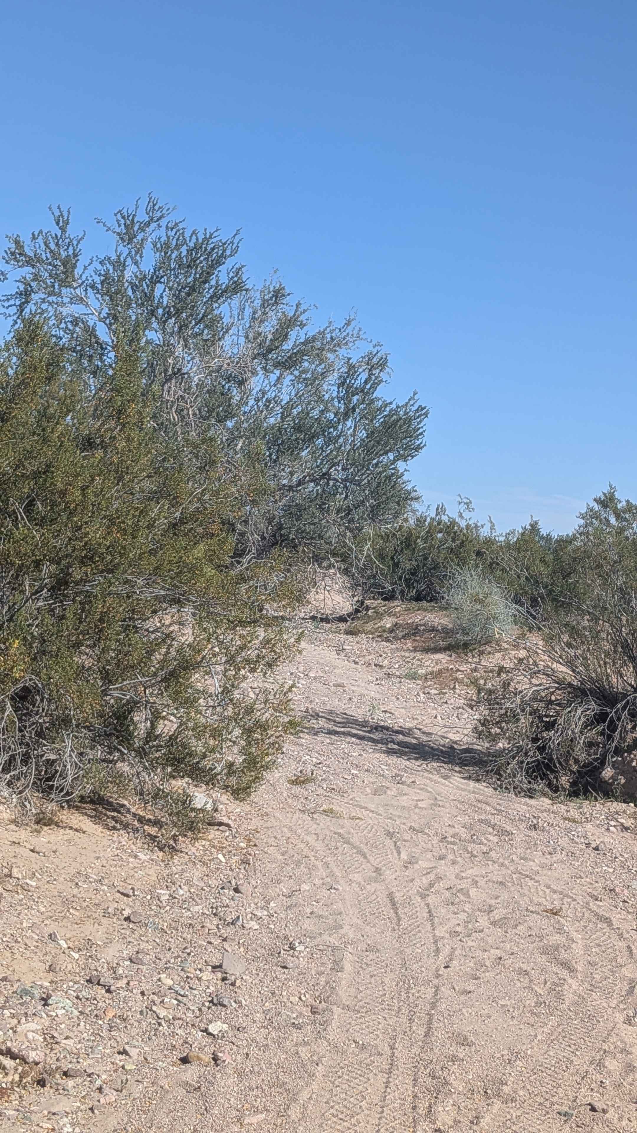
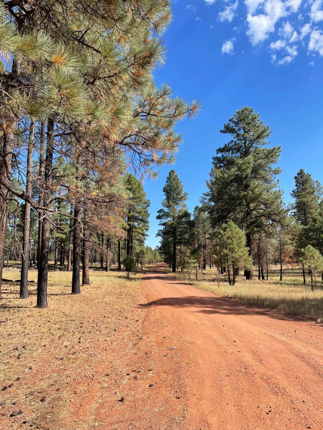
Grapevine road is a rocky, sandy, and gravel mixed surface road that runs through Prescott National Forest. There is a gate about the middle of the trail, please remember to close it behind you. The first section runs through private property. There are two water crossings that change depending on the rain levels. You will find a small camp spot with a hiking trail next to a small stream at the end of this route, it's big enough for three to four rigs. The road continues, but it ends at a washout, the road is almost impossible to turn around at the washout, so I recommend turning around at the camp spot.
Photos of Grapevine
Difficulty
There are two water crossings and some sections of rutted washed-out areas and rocks.
Status Reports
Grapevine can be accessed by the following ride types:
- High-Clearance 4x4
- SUV
- SxS (60")
- ATV (50")
- Dirt Bike
Grapevine Map
Popular Trails

The onX Offroad Difference
onX Offroad combines trail photos, descriptions, difficulty ratings, width restrictions, seasonality, and more in a user-friendly interface. Available on all devices, with offline access and full compatibility with CarPlay and Android Auto. Discover what you’re missing today!