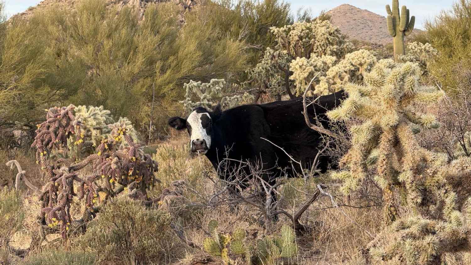
Good Enough For The Cows
Total Miles
1.7
Technical Rating
Best Time
Spring, Fall, Winter
Trail Type
Full-Width Road
Accessible By
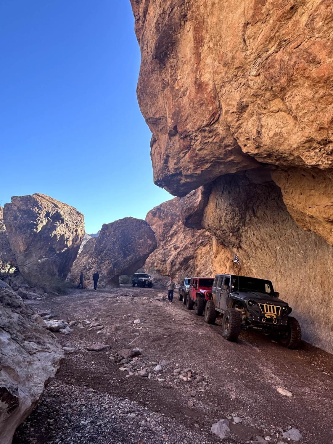
Trail Overview
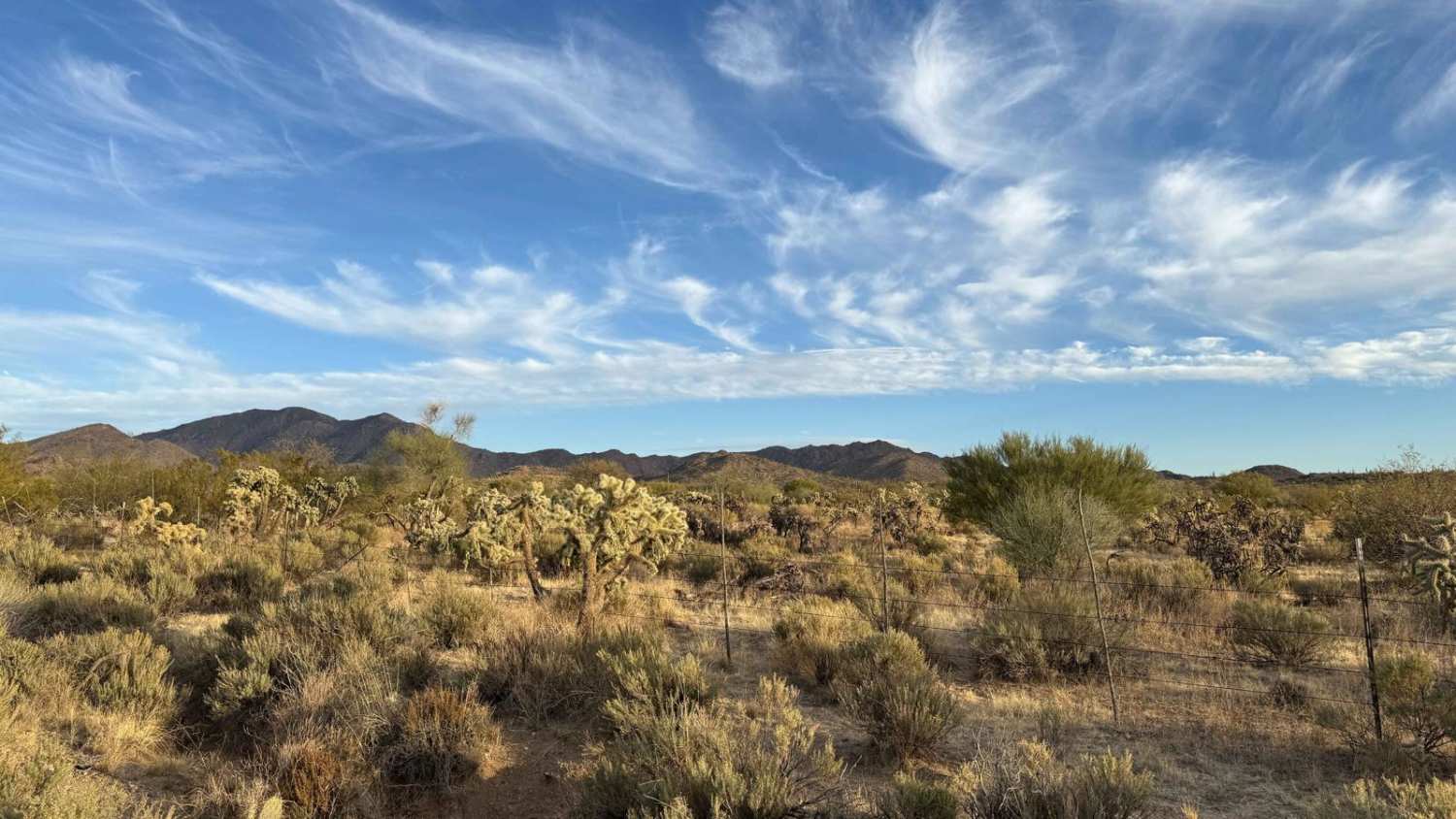
"Good Enough For The Cows" is an aptly named trail where you'll often find evidence of bovines frequenting the area, particularly around the dry mud puddles and cholla fruit--a surprising delicacy for them! This trail offers an easy-going adventure with several open spots near the wash that are suitable for camping if you want to stop and enjoy the scenery. The trail extends east past where the recorded route meets the wash into a much narrower section that becomes more suitable for a narrow ATV or dirt bike. If you're traversing in a Truck or SUV, it's advisable to stick to the wash and follow up to M0775 instead. The path is straightforward, with the occasional washout, and provides enough space in some areas for passing oncoming traffic. While the trail itself may not be particularly challenging, it could serve as a reliable escape route if you find yourself navigating the washes during the rainy season. This practicality, combined with its ease, makes it a consistently accessible choice for explorers in the region. Important Note: You'll find two bars of LTE service at the start, which dwindles to none as you progress. It's crucial to download offline maps before setting out. Like others in the area, this trail traverses Arizona State Land Trust territory, requiring a purchased and printed permit. Remember, desert adventures demand good preparation, so carry plenty of water and supplies to ensure a safe and enjoyable experience. Enjoy the drive!
Photos of Good Enough For The Cows
Difficulty
The trail is generally easy, with occasional washouts, and is better suited for narrower vehicles beyond where it meets with the wash. Continuing on the unrecorded trail is a more challenging route.
Status Reports
Good Enough For The Cows can be accessed by the following ride types:
- High-Clearance 4x4
- SUV
- SxS (60")
- ATV (50")
- Dirt Bike
Good Enough For The Cows Map
Popular Trails

Temple Trail North
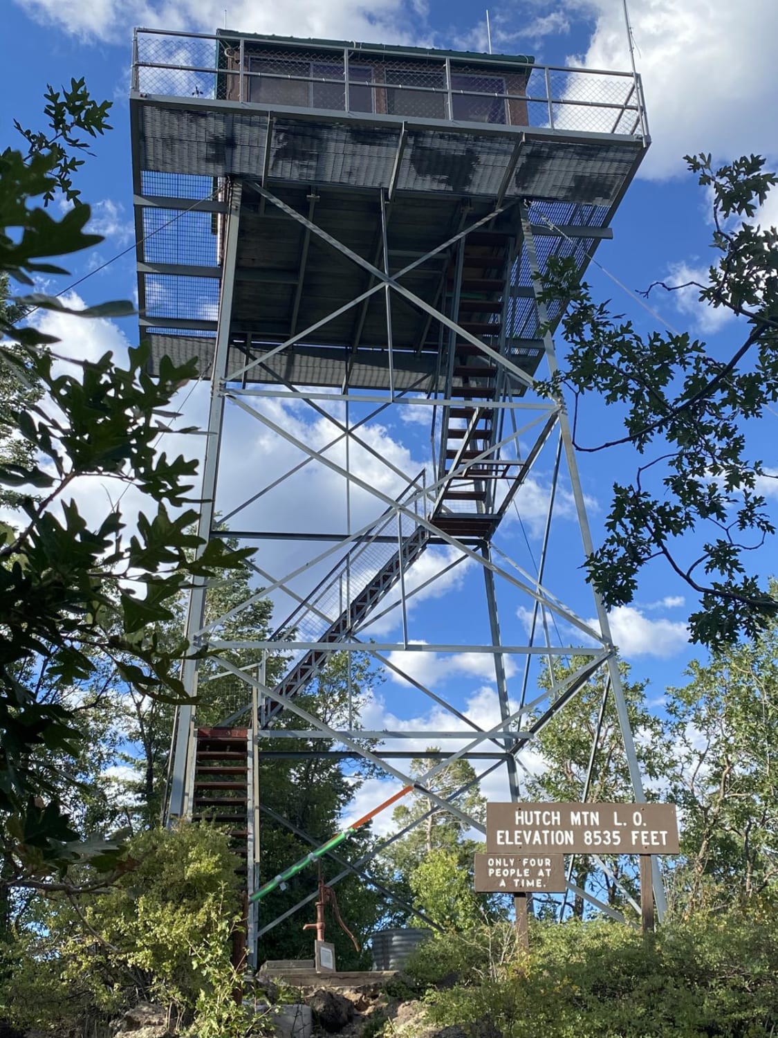
Hutch Mountain Lookout
Secret Pass Technical Trail
The onX Offroad Difference
onX Offroad combines trail photos, descriptions, difficulty ratings, width restrictions, seasonality, and more in a user-friendly interface. Available on all devices, with offline access and full compatibility with CarPlay and Android Auto. Discover what you’re missing today!