Gold Range Mine
Total Miles
1.2
Technical Rating
Best Time
Spring, Summer, Fall, Winter
Trail Type
High-Clearance 4x4 Trail
Accessible By
Trail Overview
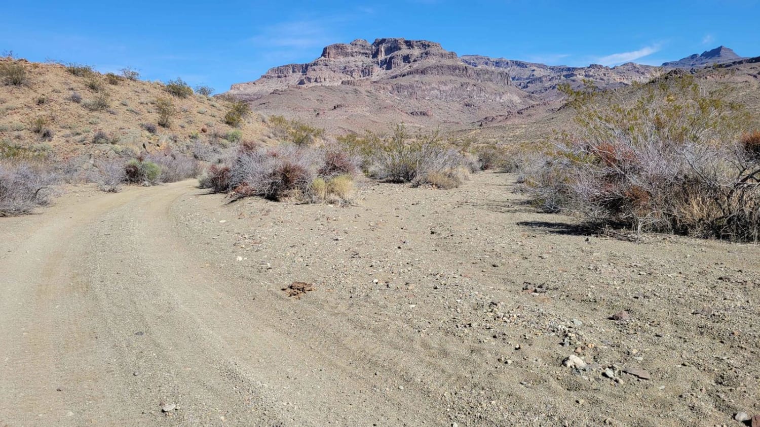
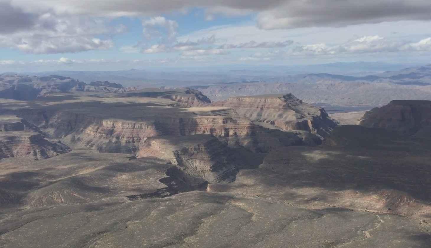
Gold Range Mine is an out-and-back trail that leads up into the hills, passing a few open mine shafts and ending at an overlook/turnaround. The trail begins in a sandy wash off of Silver Creek Road. Within just a half of a mile, the first mine shaft is reached, in addition to the brick remnants of a structure long gone. Continuing just a little further up, another vertical mine shaft is reached. There are a handful of hill climbs throughout the trail; some are more steep than others while some have greater rock faces, loose dirt, and loose rocks. To reach the Gold Range Mine at the top, there is one final hill climb with loose terrain and some mild erosion ruts. At the summit, you'll notice the largest vertical mine shaft. There is an additional mine shaft tucked in the hillside and in the rock outcrop above. The trail ends at a viewpoint/turnaround spot, which offers expansive views of the surrounding landscape. Cell service is found along the way. Use extreme caution around any open mine shaft. Respect the fencing and do not go near the edge.
Photos of Gold Range Mine
Difficulty
There are a handful of hill climbs throughout the trail; some are more steep than others while some have greater rock faces, loose dirt, and loose rocks.
History
The Gold Range mining claim is a geologically important series of workings located just outside the historic mining town of Oatman, Arizona. The mines have been explored and surveyed for gold content as early as 1890. Gold was produced from the mine intermittently on a small scale from 1900-1976. The main shaft at the top, the largest of the group, is estimated to be 100 - 150 feet deep.
Status Reports
Gold Range Mine can be accessed by the following ride types:
- High-Clearance 4x4
- SxS (60")
- ATV (50")
- Dirt Bike
Gold Range Mine Map
Popular Trails
Trail 388 Connector
Underhill #528
Snap Point BLM 1680
The onX Offroad Difference
onX Offroad combines trail photos, descriptions, difficulty ratings, width restrictions, seasonality, and more in a user-friendly interface. Available on all devices, with offline access and full compatibility with CarPlay and Android Auto. Discover what you’re missing today!

