FS416a
Total Miles
6.2
Technical Rating
Best Time
Spring, Summer, Fall
Trail Type
Full-Width Road
Accessible By
Trail Overview
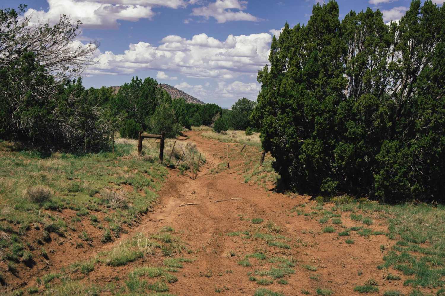
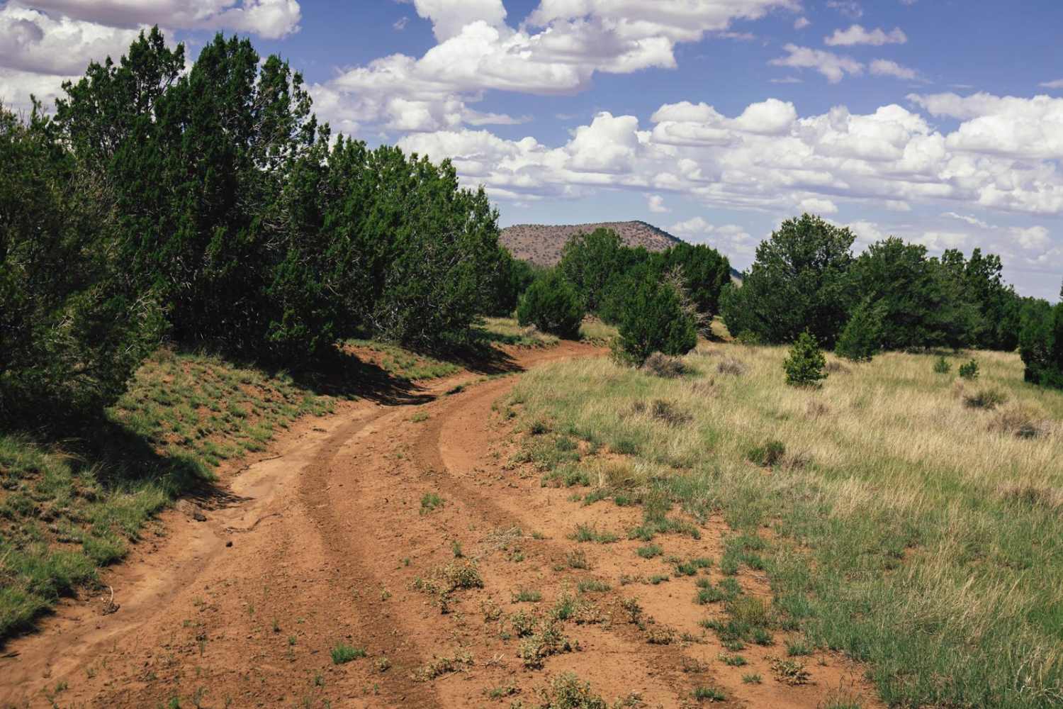
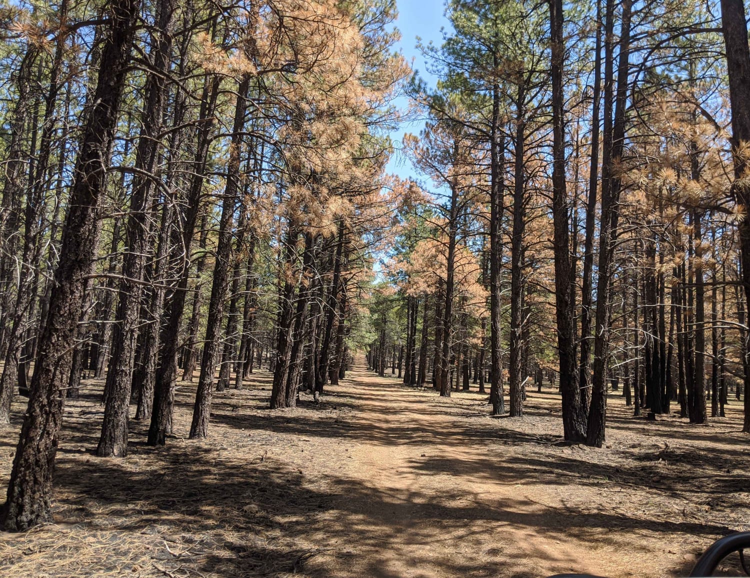
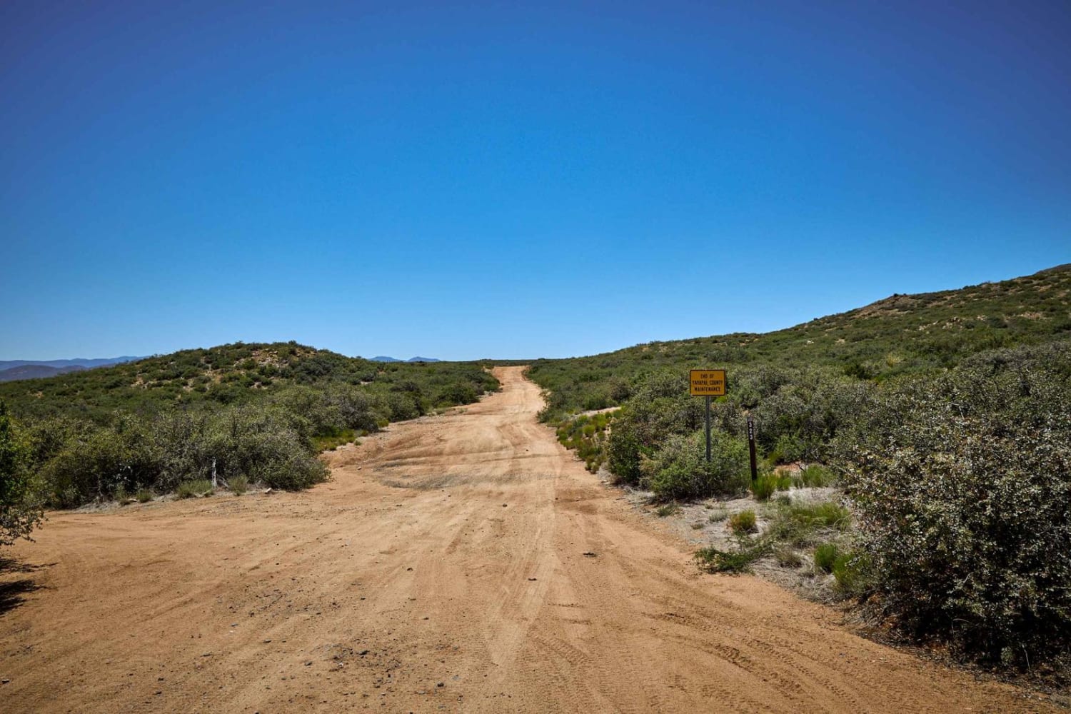
While FS416a might seem like one long ditch, the northern end of this trail, especially where it crosses into the Arizona State Land Trust Land, is a delight. Along this trail, there are multiple rocky rock gardens, as well as wash crossings with steep entrances and exits, erosion, water damage, and off-camber sections. That being said, there are no major obstacles on this trail. This trail is narrow, with few places to pass or turn around, so please stay on established paths and if you do have to leave the trail, please TREAD LIGHTLY. The Northern end of this trail passes into Arizona State Land Trust property, and a separate permit is required to recreate on this land.
Photos of FS416a
Difficulty
This is an unmaintained trail, with numerous rocky sections and water damage/erosion. Offline maps are recommended. The Northern section of this trail passes into Arizona State Land Trust, where a separate permit is required and can be obtained via the website for a fee.
Status Reports
FS416a can be accessed by the following ride types:
- High-Clearance 4x4
- SUV
- SxS (60")
- ATV (50")
- Dirt Bike
FS416a Map
Popular Trails

Gabrina Hill Road
Hunt Tank Shortcut
Cherry Cutoff
The onX Offroad Difference
onX Offroad combines trail photos, descriptions, difficulty ratings, width restrictions, seasonality, and more in a user-friendly interface. Available on all devices, with offline access and full compatibility with CarPlay and Android Auto. Discover what you’re missing today!
