FS 9242N & 9241V
Total Miles
2.6
Technical Rating
Best Time
Spring, Summer, Fall
Trail Type
Full-Width Road
Accessible By
Trail Overview
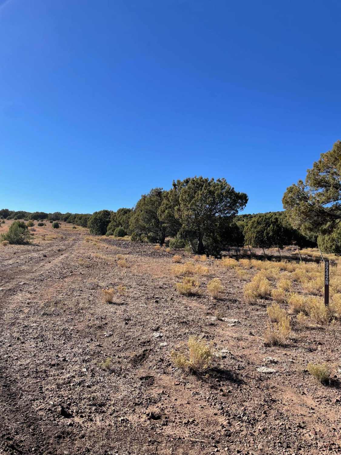
This trail travels from East to West or vice versa. The most rocky and rough areas on this trail are located on Forest Road 9242N. This section of trail is located on the eastern part of this road. There are several large rock gardens to crawl over that are nestled in juniper trees. The trail then evens out to a dirt surface as you near Bessie Tank. As you pass Bessie Tank, the trail turns into Forest Road 9241V and continues to travel West. The majority of the trail along Forest Road 9241V is an even dirt surface with a handful of small rock gardens to pass over. This trail then ends at a junction with Forest Road 9236N.
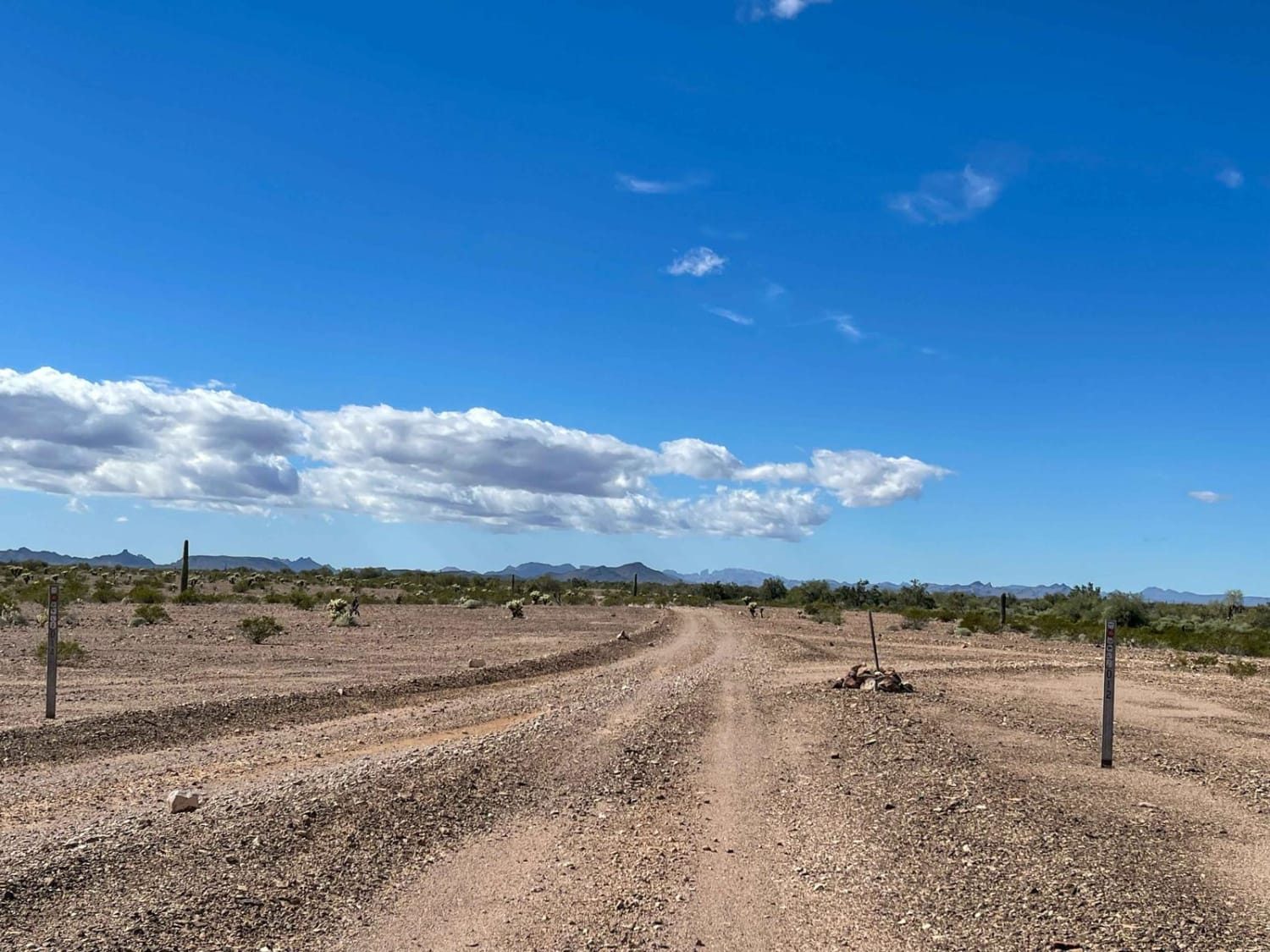
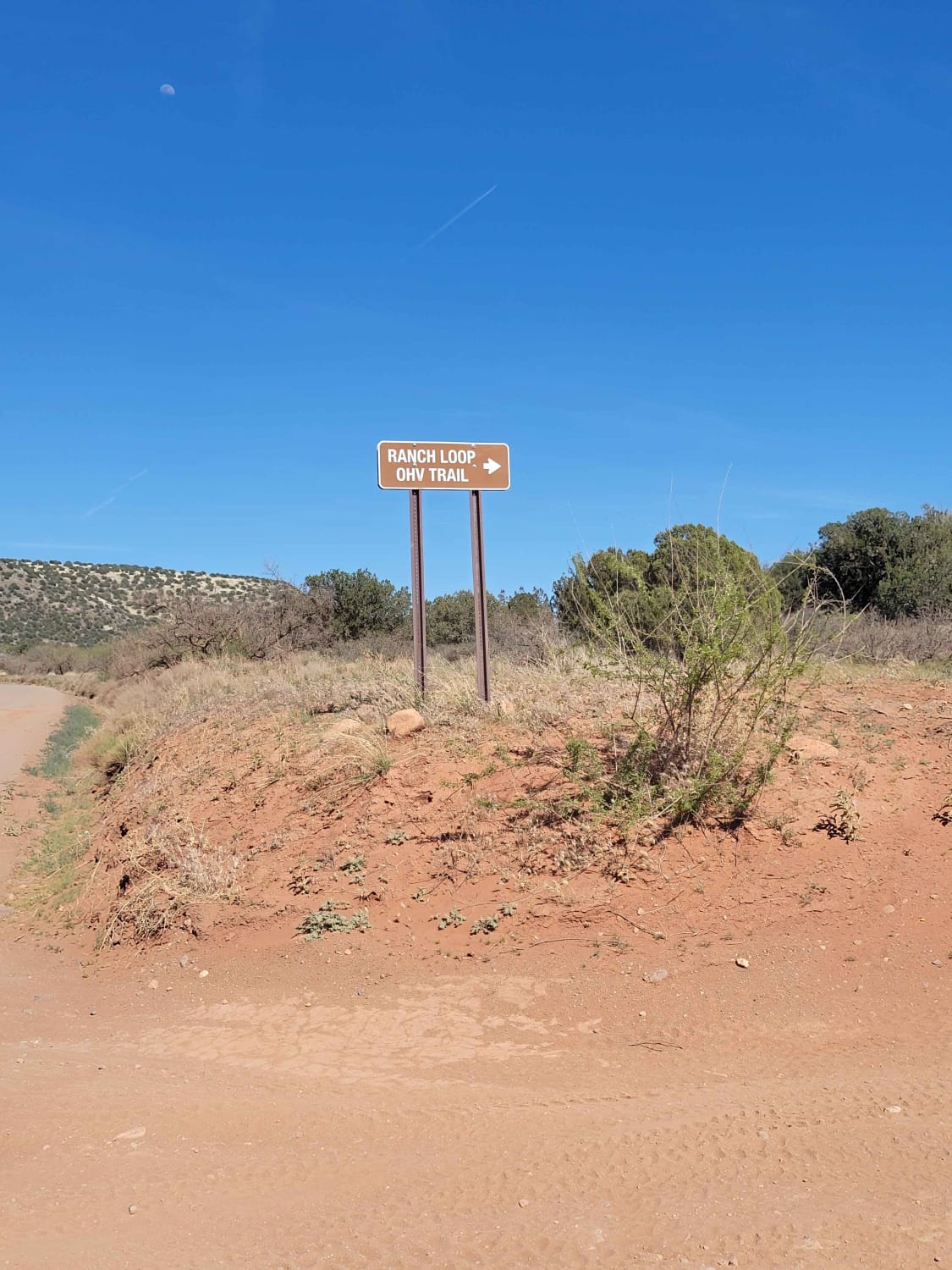
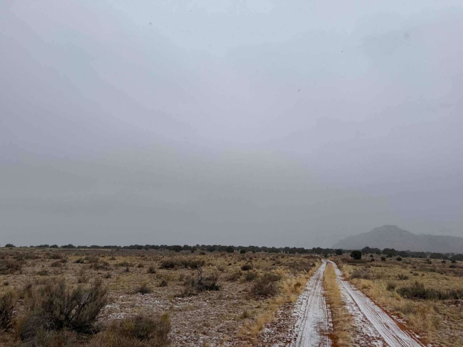
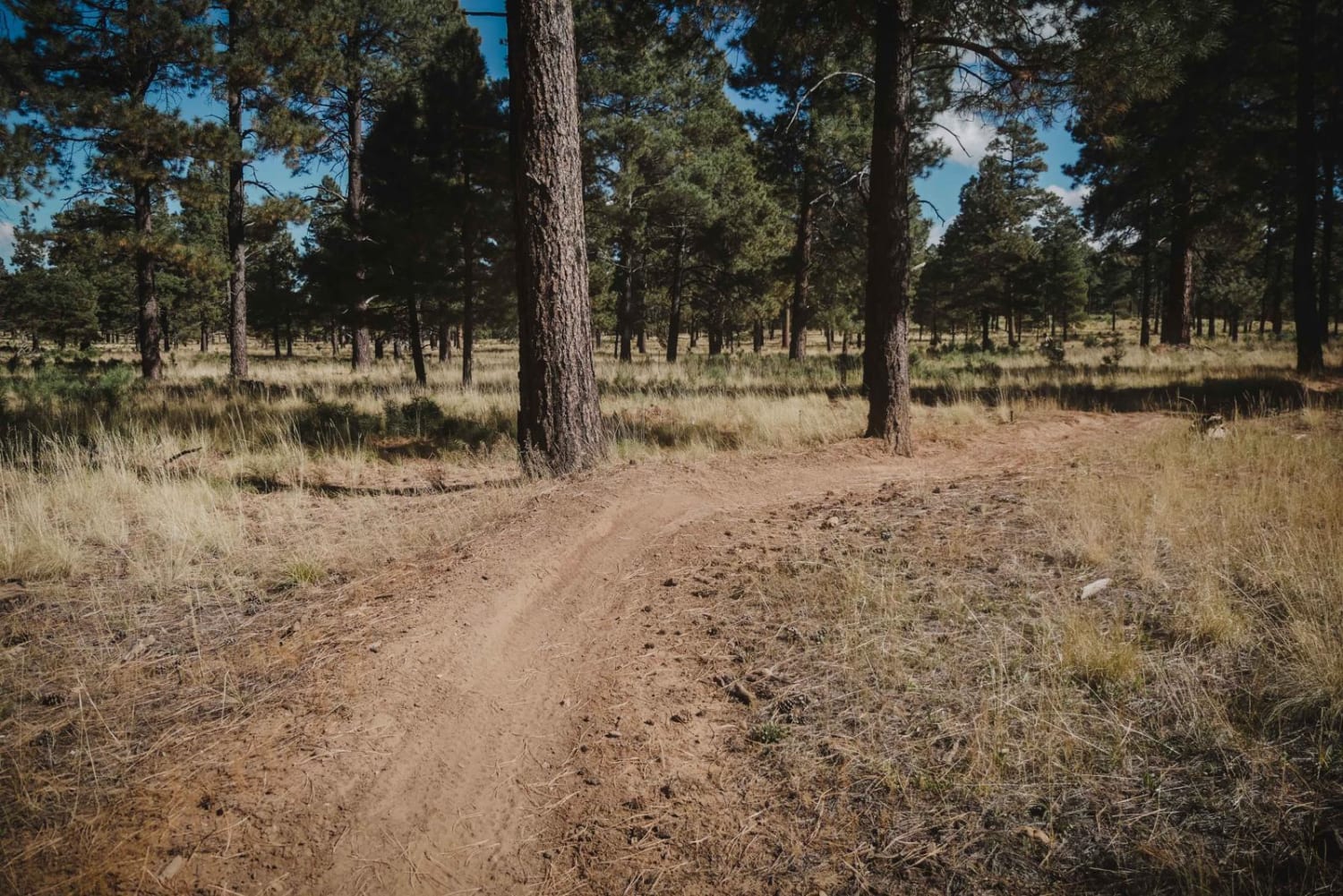
Photos of FS 9242N & 9241V
Difficulty
Expect a rocky and rough road with short, steep grades.
Status Reports
FS 9242N & 9241V can be accessed by the following ride types:
- High-Clearance 4x4
- SUV
- SxS (60")
- ATV (50")
- Dirt Bike
FS 9242N & 9241V Map
Popular Trails
Airport Connector
The onX Offroad Difference
onX Offroad combines trail photos, descriptions, difficulty ratings, width restrictions, seasonality, and more in a user-friendly interface. Available on all devices, with offline access and full compatibility with CarPlay and Android Auto. Discover what you’re missing today!

