FS 9238M & 9238S
Total Miles
1.8
Technical Rating
Best Time
Spring, Summer, Fall
Trail Type
Full-Width Road
Accessible By
Trail Overview
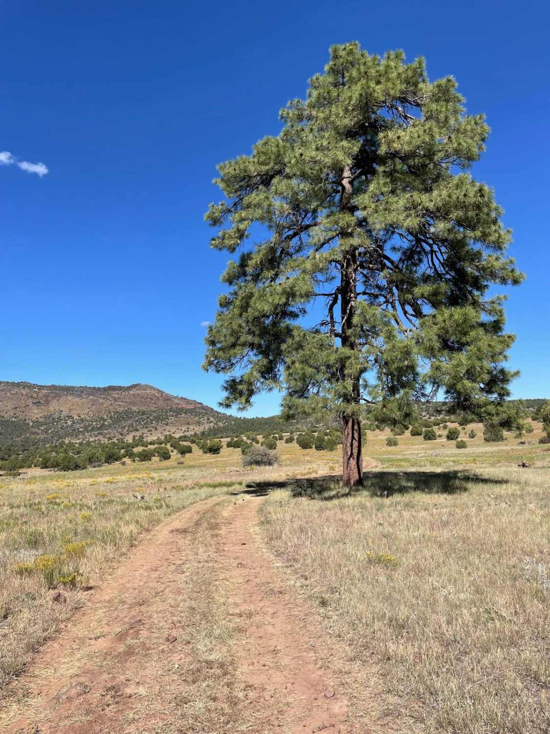
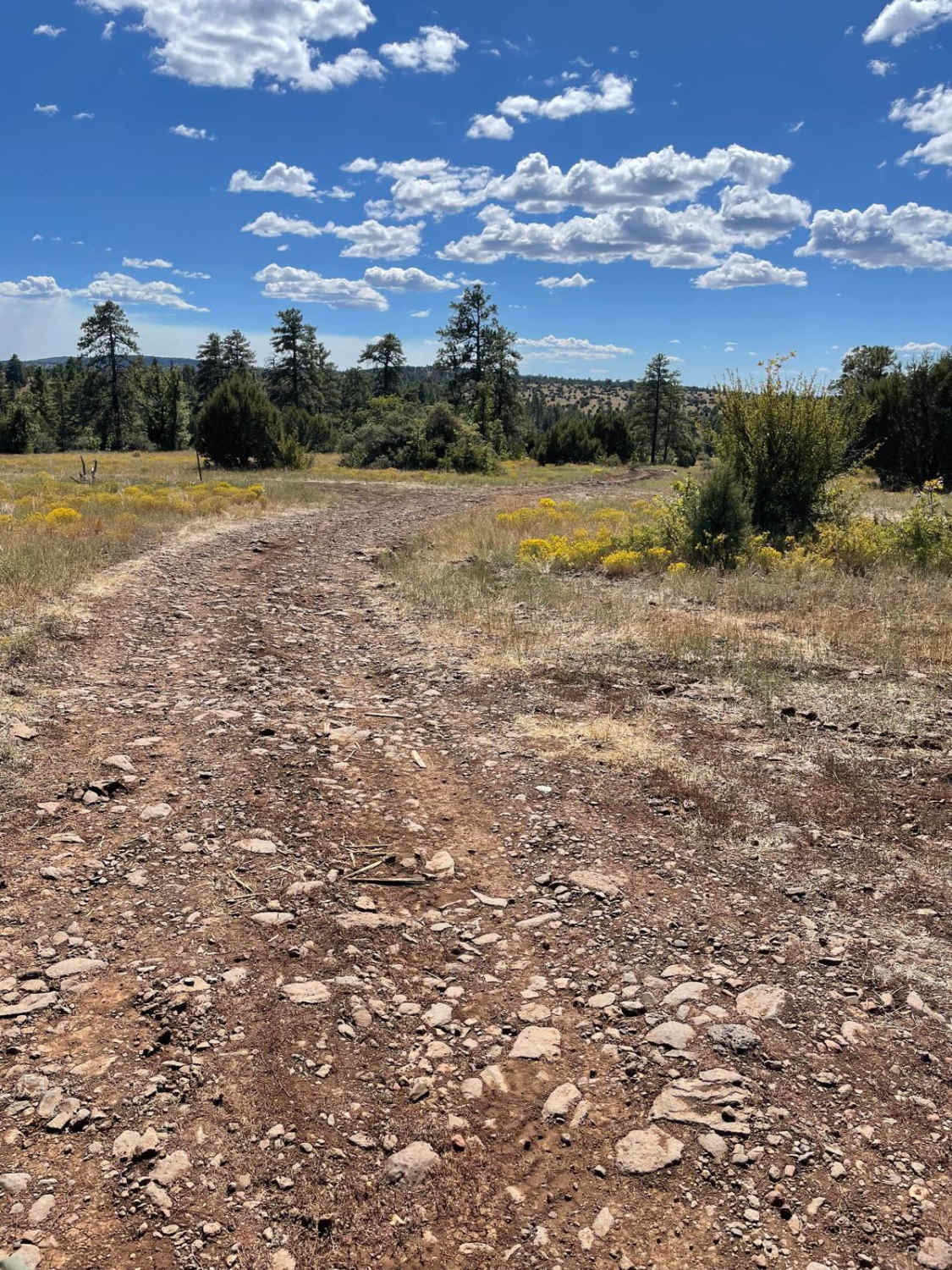
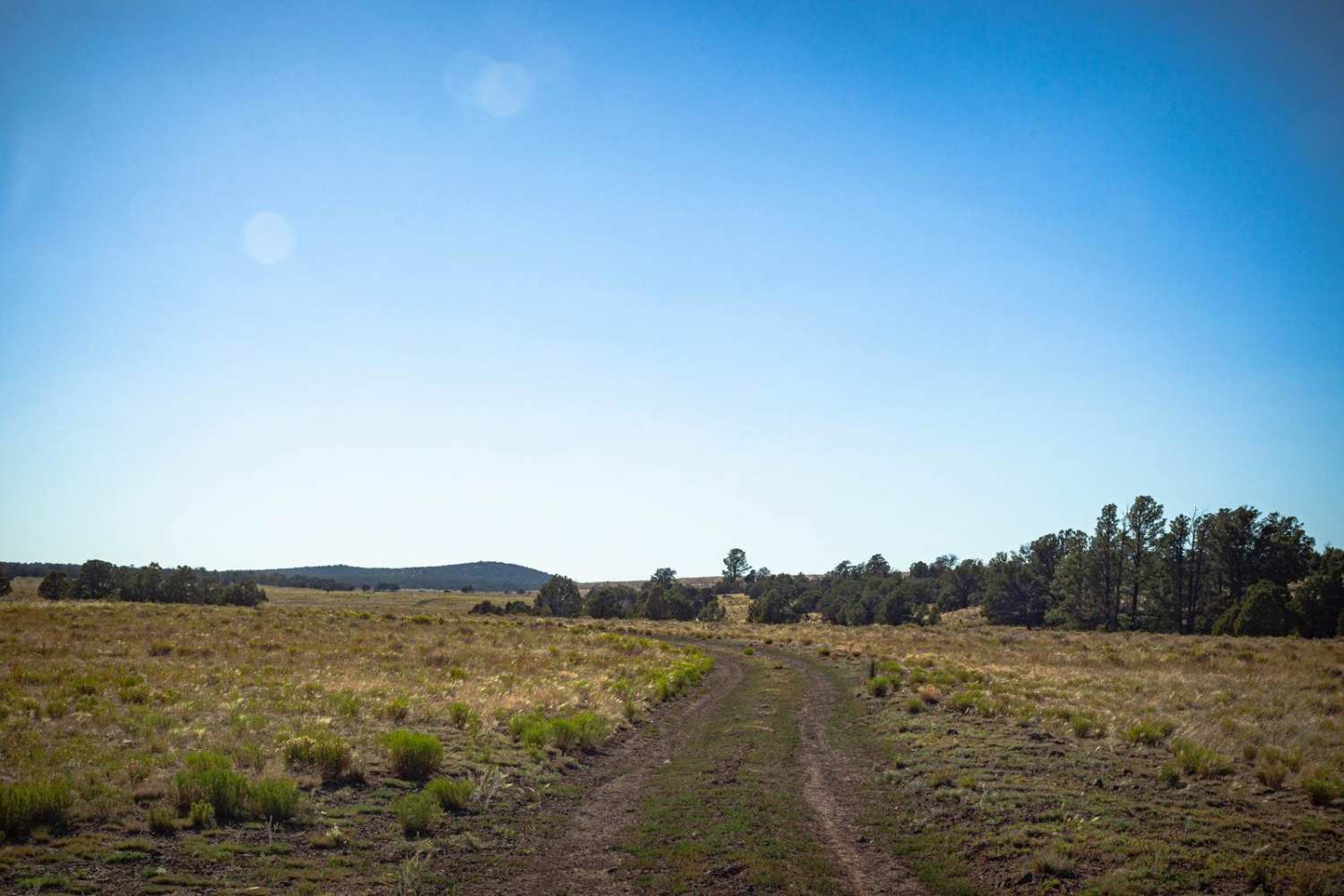
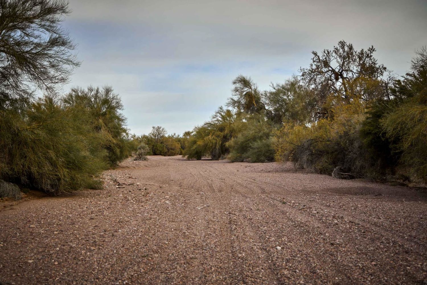
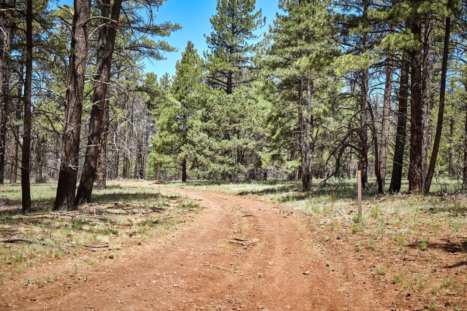
This trail consists of two forest roads, 9238M and 9238S. The beginning of this trail starts on Forest Service Road 9238M. The trail's surface in this section is a slightly rutted dirt road with a few loose rocks here and there. The trail will then traverse to the South and turn into Forest Service Road 9238S. As you travel along this portion of the trail, the surface is mainly dirt, with some small sporadic rock gardens. The trail will have panoramic views of rolling meadows with ponderosas and junipers scattered around. The last quarter mile of this trail becomes much more rockier. The most considerable rocky section is the last few hundred yards of the trail. The trail becomes more challenging to see, and there are large rocks to navigate. At the end of this trail, you are rewarded with a great view of Wet Beaver Wilderness.
Photos of FS 9238M & 9238S
Difficulty
Expect an uneven, rutted, and rocky trail with rocks up to 12" nearing the end.
Status Reports
FS 9238M & 9238S can be accessed by the following ride types:
- High-Clearance 4x4
- SUV
- SxS (60")
- ATV (50")
- Dirt Bike
FS 9238M & 9238S Map
Popular Trails
Pass Canyon
Hidden Hibben
Central Red Raven Wash
The onX Offroad Difference
onX Offroad combines trail photos, descriptions, difficulty ratings, width restrictions, seasonality, and more in a user-friendly interface. Available on all devices, with offline access and full compatibility with CarPlay and Android Auto. Discover what you’re missing today!