FS 136 & 9603J Loop
Total Miles
2.5
Technical Rating
Best Time
Spring, Summer, Fall, Winter
Trail Type
Full-Width Road
Accessible By
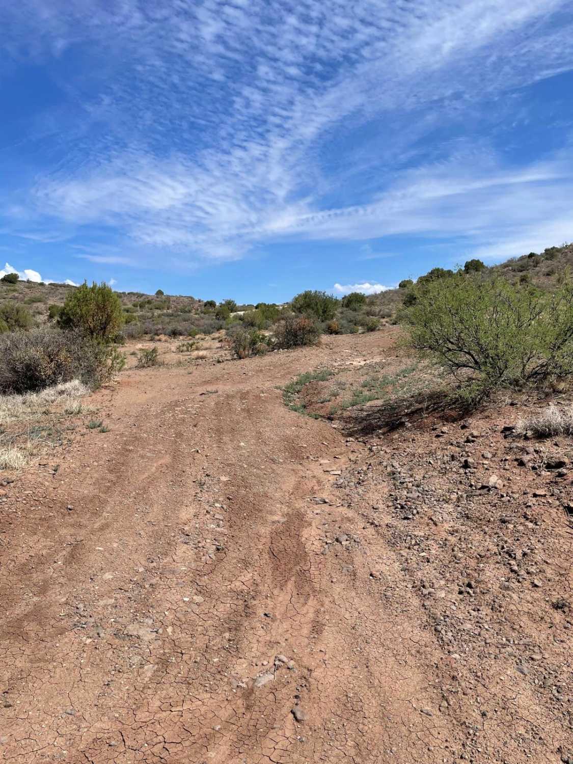
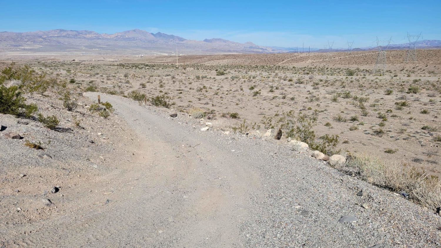
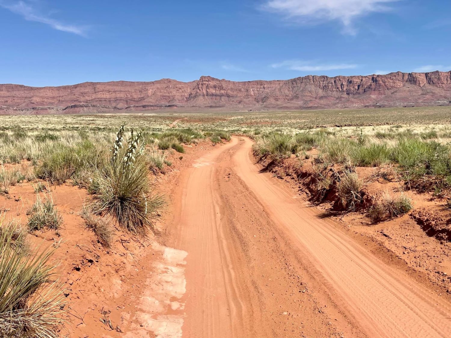
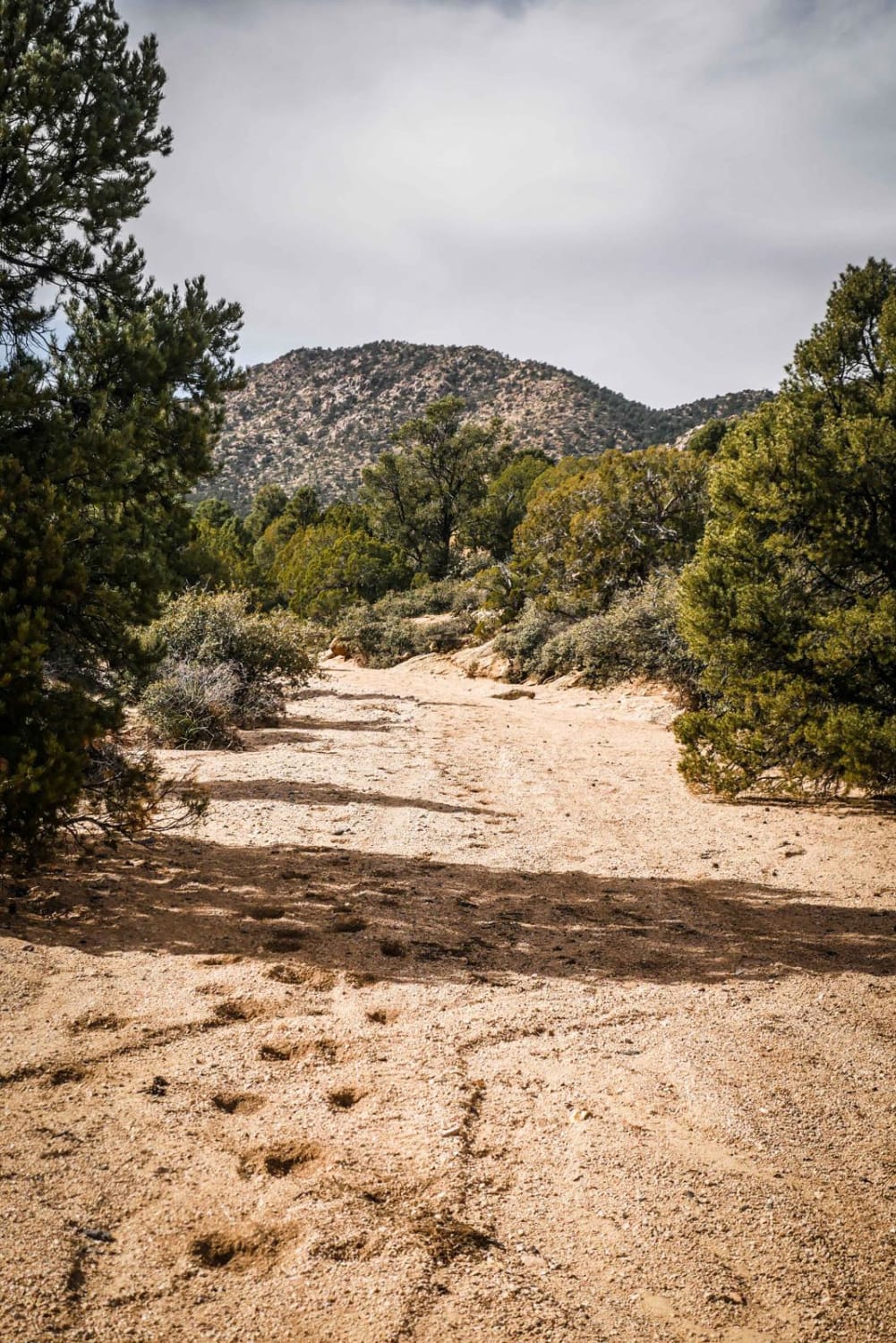
Trail Overview
This loop consists of two Forest Service roads that connect together. The western part of the loop is fairly rocky, with loose stones and rock outcroppings. As you travel east, you'll pass an old windmill. The trail continues east with sporadic rocky areas and small ruts. The eastern portion of the loop follows power lines for a short distance. You'll descend a rocky hill before the trail opens up into a wide dirt path. The end of the trail is marked by an intersection with Reimer Road, leading to the Squaw Peak Road Guided Trail.
Photos of FS 136 & 9603J Loop

Difficulty
Expect an uneven, rocky, and rutted dirt trail. There is also a short, steep, and rocky hill to climb or descend. Trail obstacles are up to 12 inches.
Status Reports
FS 136 & 9603J Loop can be accessed by the following ride types:
- High-Clearance 4x4
- SUV
- SxS (60")
- ATV (50")
- Dirt Bike
FS 136 & 9603J Loop Map
Popular Trails
Bullhead City AZ Peace Trail

ATV Sand Wash Trail
The onX Offroad Difference
onX Offroad combines trail photos, descriptions, difficulty ratings, width restrictions, seasonality, and more in a user-friendly interface. Available on all devices, with offline access and full compatibility with CarPlay and Android Auto. Discover what you’re missing today!