Four peaks to upper sycamore creek
Total Miles
11.3
Technical Rating
Best Time
Spring, Summer, Fall, Winter
Trail Type
High-Clearance 4x4 Trail
Accessible By
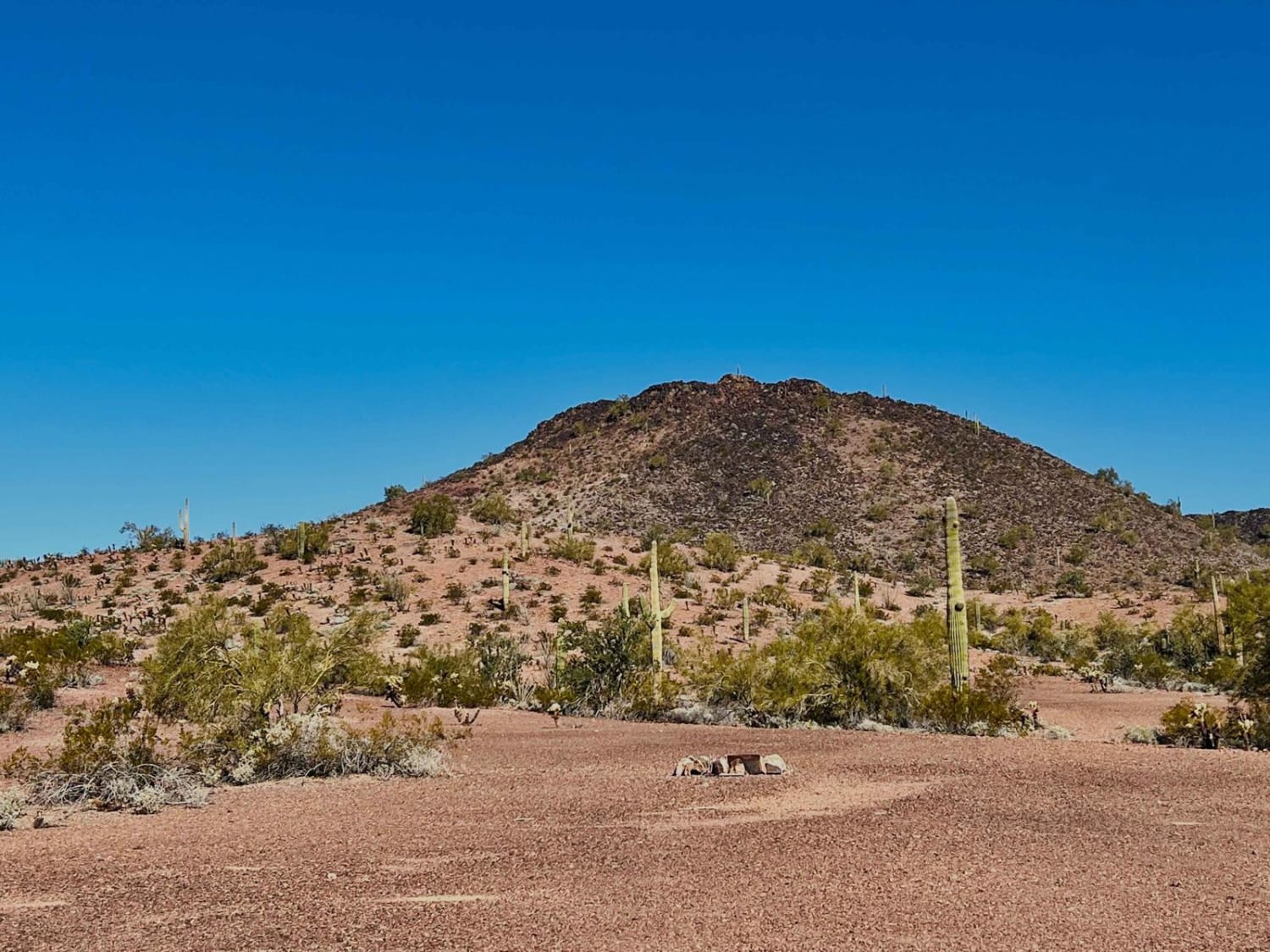
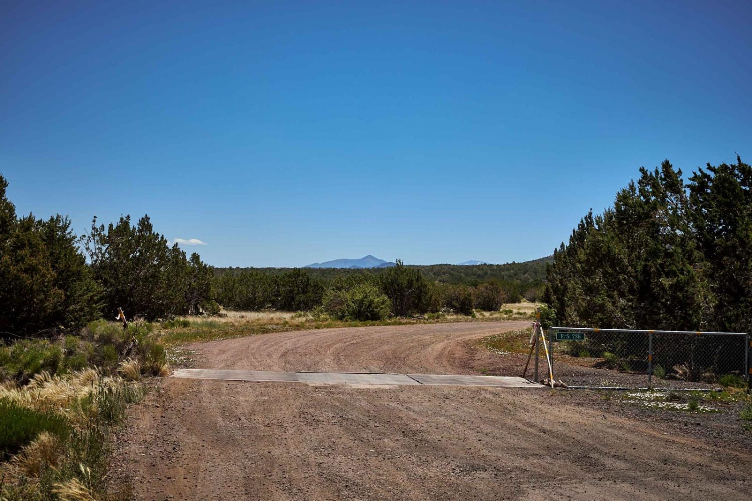
Trail Overview
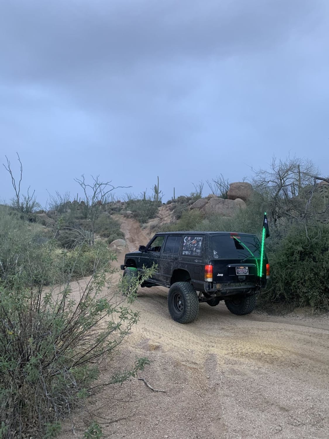
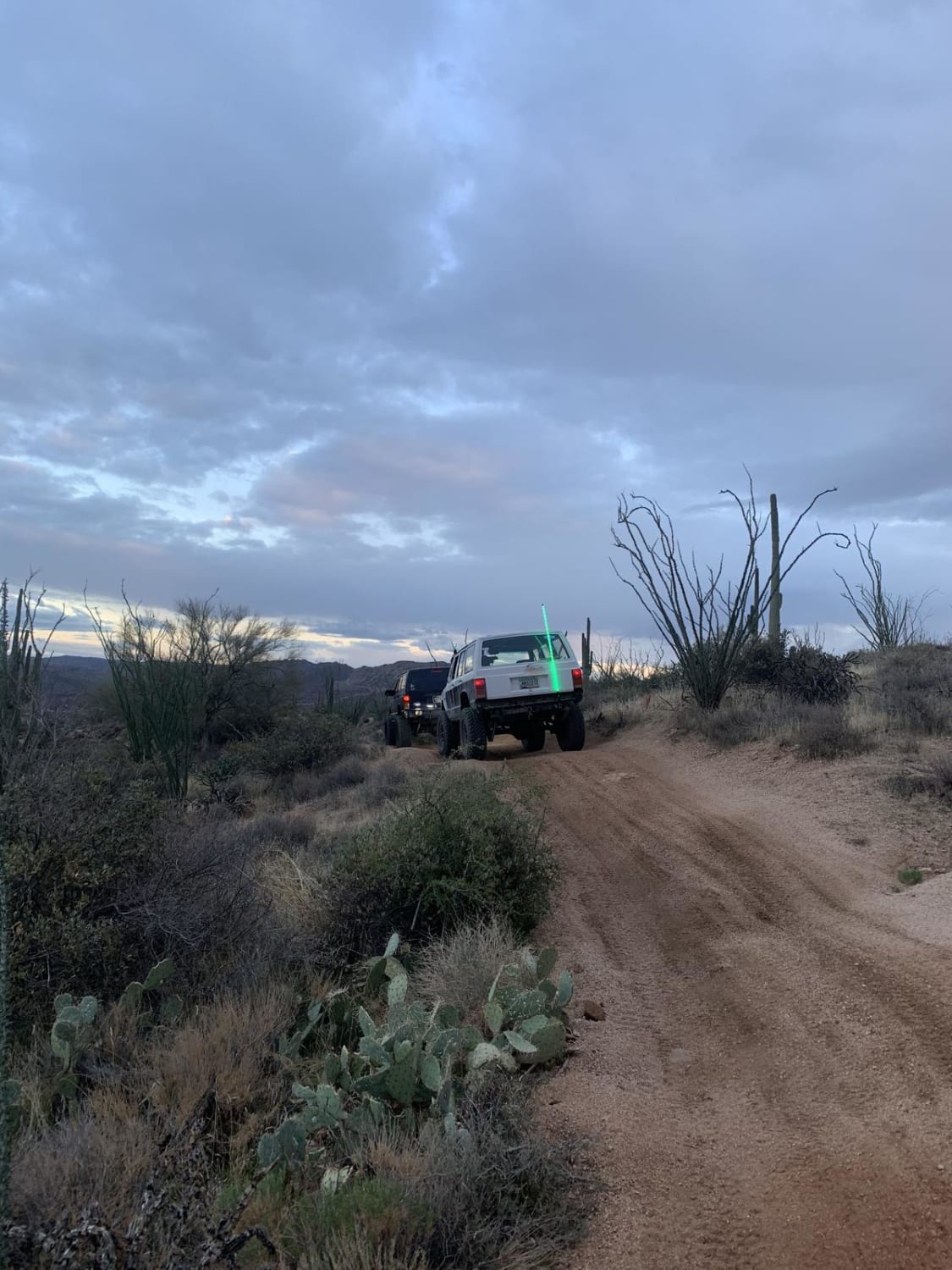
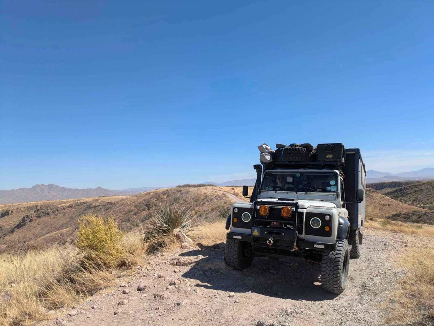
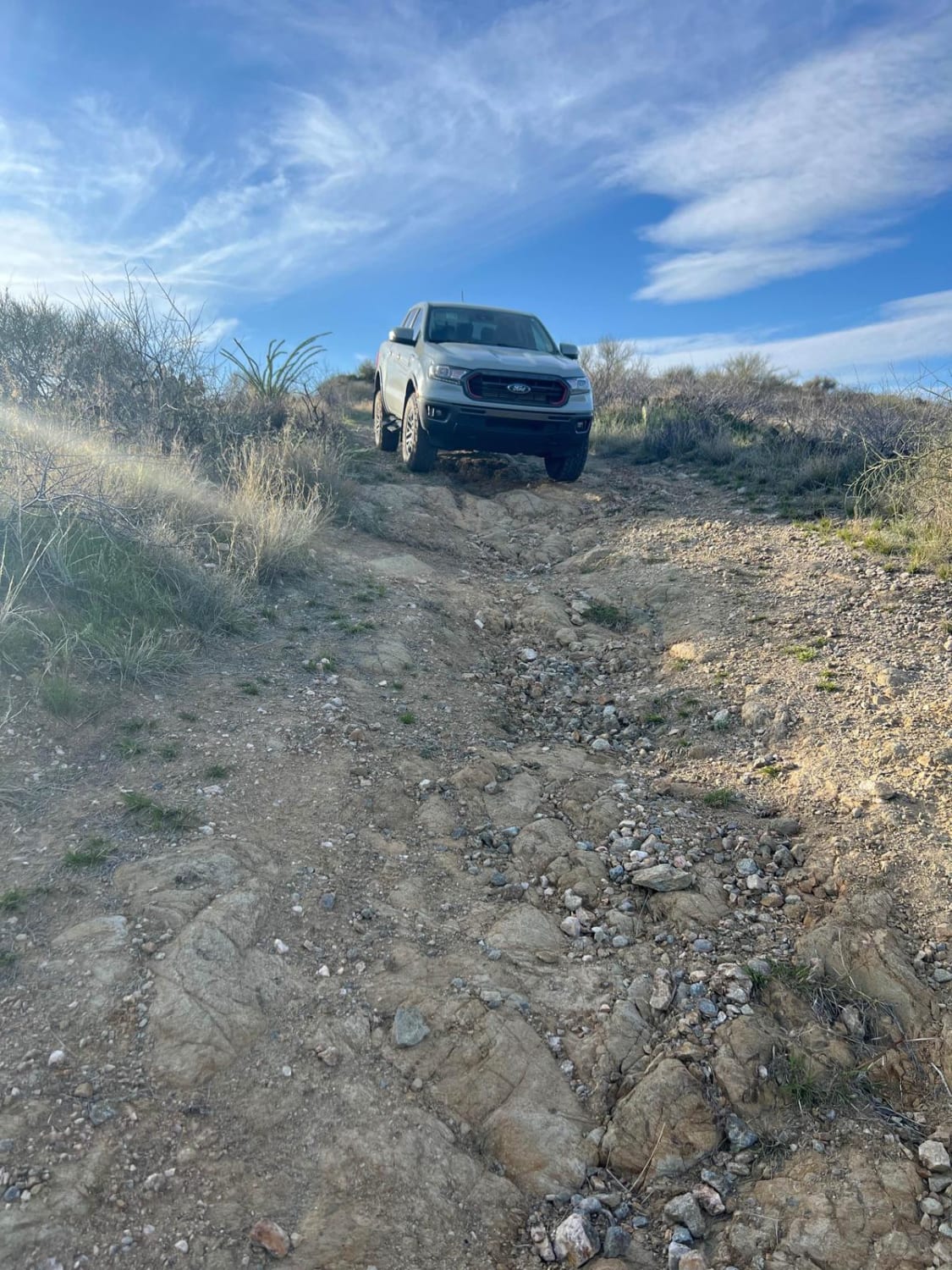
From the four peaks side, this is an easy trail for most 4x4 vehicles. Once you go under the Bush Highway bridge, you will end up on the Sycamore Creek side. It is difficult from there on out, with off-camber roads for most of the trail. Grades are near vertical and you can expect the trail to get extremely rutted after a good rain. There are outstanding views of the side up on top.
Photos of Four peaks to upper sycamore creek
Difficulty
There are many big rutted-out hill climbs and off-camber trails for most of the trail.
Status Reports
Four peaks to upper sycamore creek can be accessed by the following ride types:
- High-Clearance 4x4
- Dirt Bike
Four peaks to upper sycamore creek Map
Popular Trails
Wise Mesa - FR4151
French Lily Mine Dump
Fancher Mine Loop
The onX Offroad Difference
onX Offroad combines trail photos, descriptions, difficulty ratings, width restrictions, seasonality, and more in a user-friendly interface. Available on all devices, with offline access and full compatibility with CarPlay and Android Auto. Discover what you’re missing today!