Fenceline Runout
Total Miles
4.6
Technical Rating
Best Time
Summer, Fall, Spring
Trail Type
Full-Width Road
Accessible By
Trail Overview
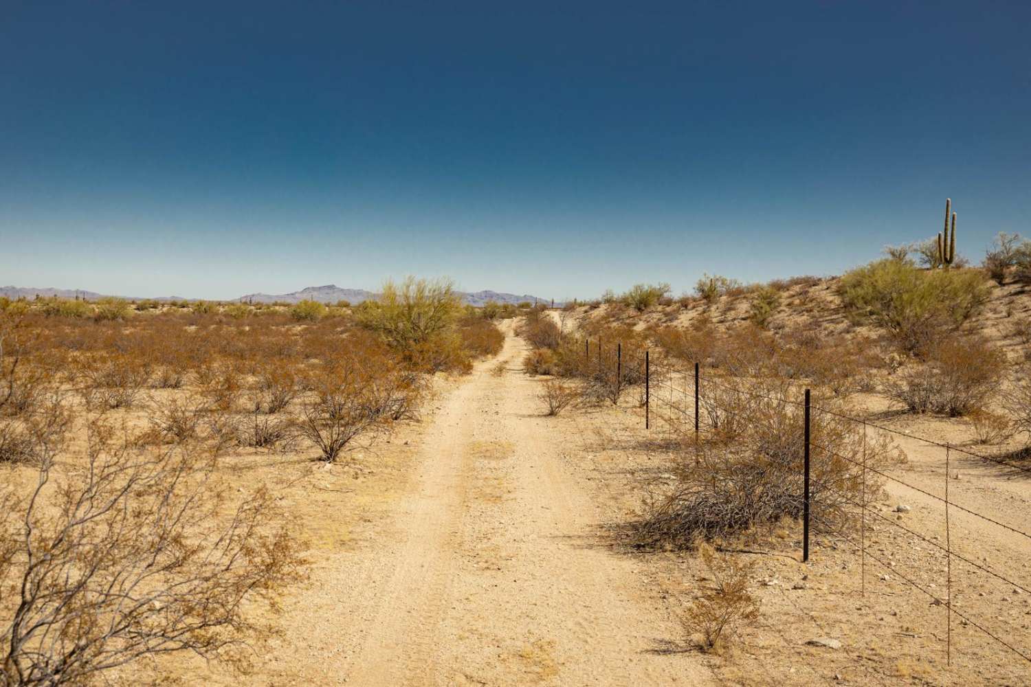
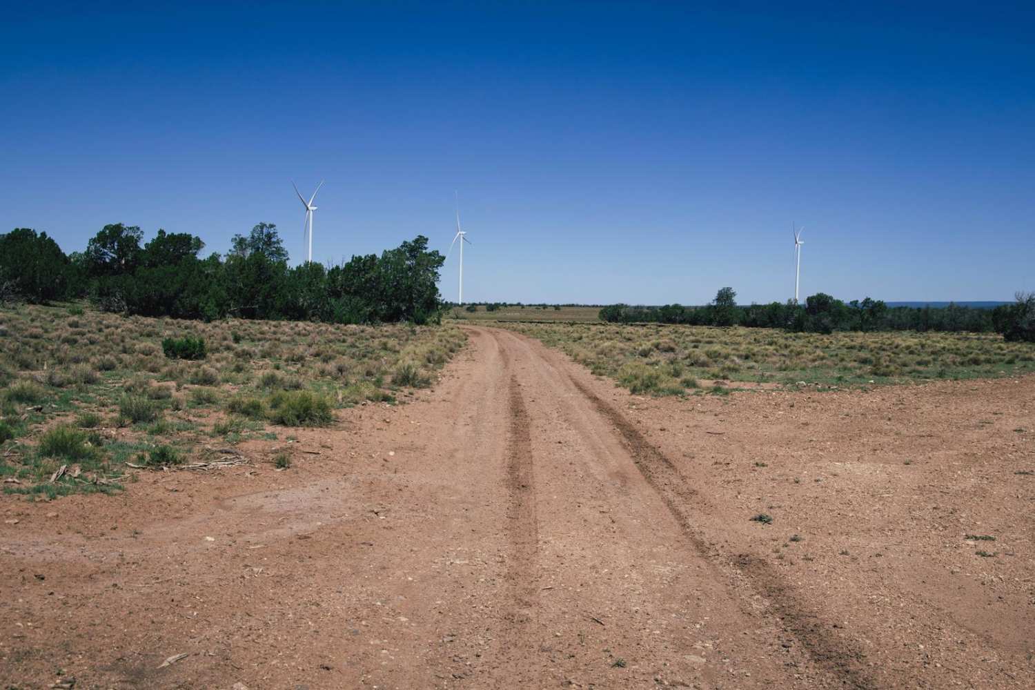
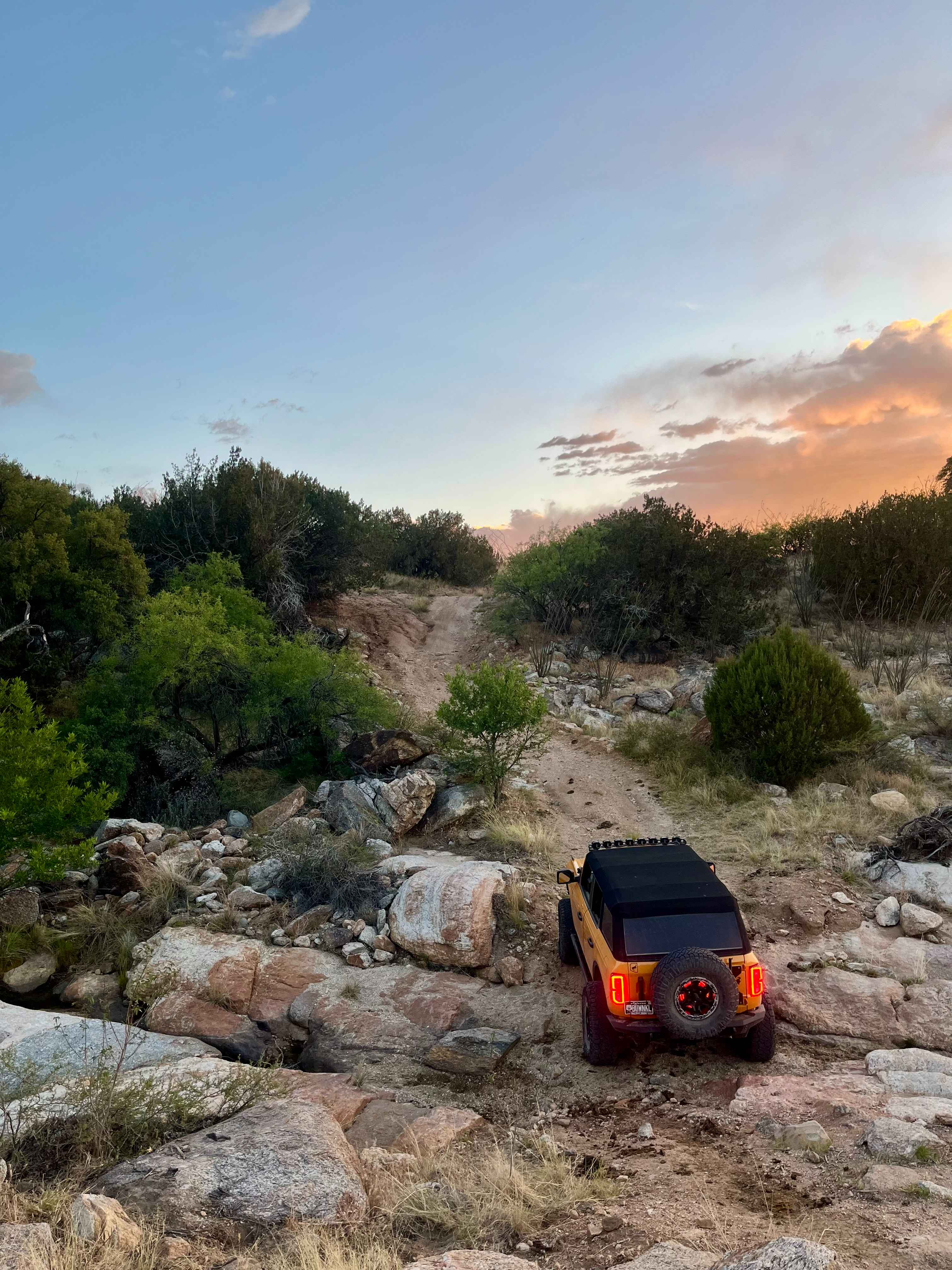
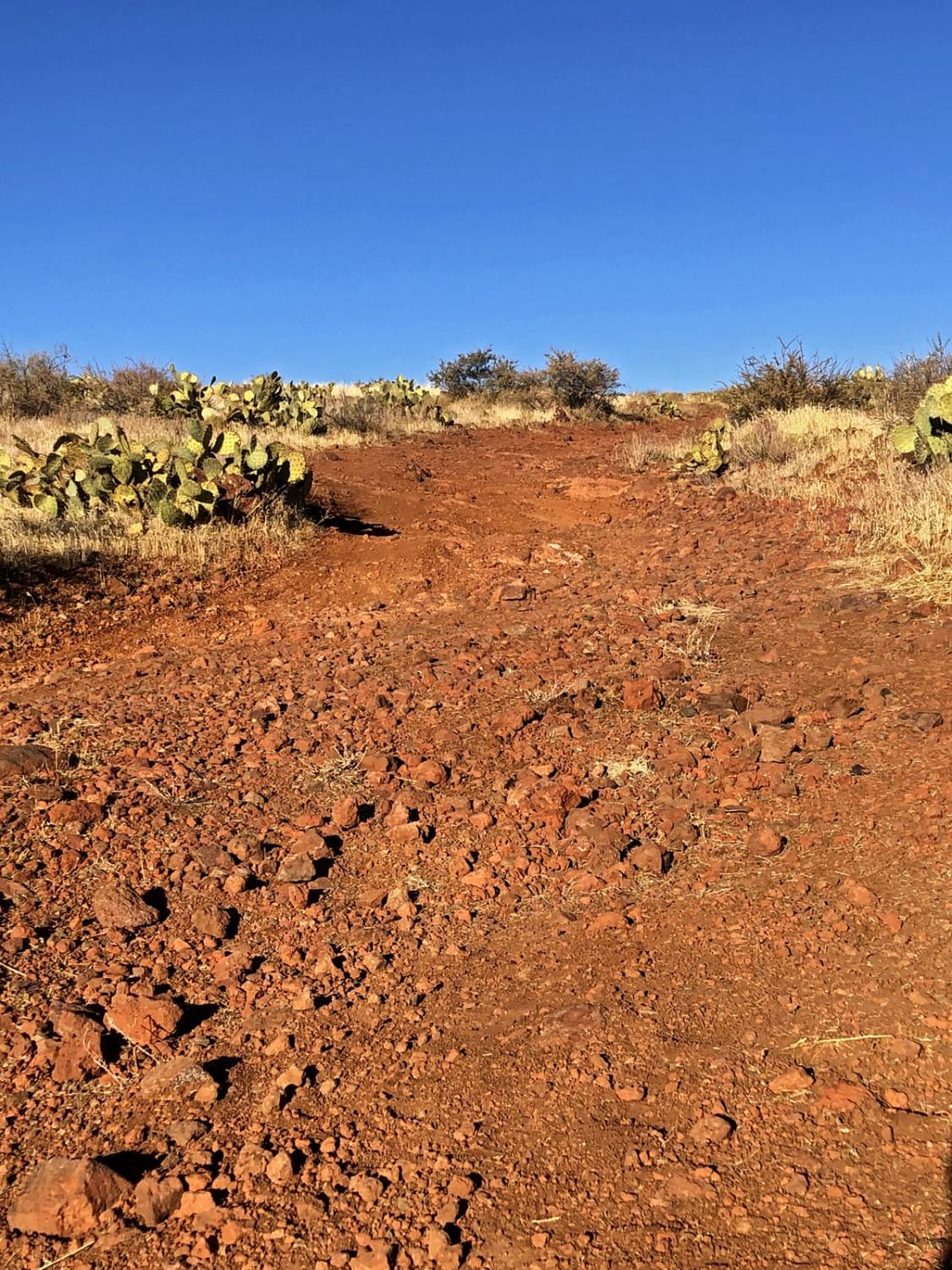
The Fenceline Runout Trail was a conundrum to map. There are trails on either side of the fence, and the fenceline runs throughout, with no crossover option. There are several hills and wash crossings on this trail. The hills consist of climbs and descents of loose rock and ledges, and with wash crossings have varying terrain of deep soft sand and steep, short entrances and exits. Paint damage is guaranteed on this trail as it is overgrown and not well-used. The trail seems to narrow the further you get into it. It was mapped with the intention of connecting to a North/South trail at its end, but the trail narrowed too much for me to continue.
Photos of Fenceline Runout

Difficulty
This trail is unmaintained and narrow in many places. Paint Damage is guaranteed. The wash crossings have the potential to be deep, with moving water, should this trail be visited during monsoon season or during a moisture event. There are steep hills with loose rocks and small ledges. Caution is urged. There is no service along this trail, so offline maps are recommended.
Status Reports
Fenceline Runout can be accessed by the following ride types:
- High-Clearance 4x4
- SUV
- SxS (60")
- ATV (50")
- Dirt Bike
Fenceline Runout Map
Popular Trails
Heifer Hills

The onX Offroad Difference
onX Offroad combines trail photos, descriptions, difficulty ratings, width restrictions, seasonality, and more in a user-friendly interface. Available on all devices, with offline access and full compatibility with CarPlay and Android Auto. Discover what you’re missing today!