EC1263
Total Miles
2.5
Technical Rating
Best Time
Winter, Fall, Spring
Trail Type
Full-Width Road
Accessible By
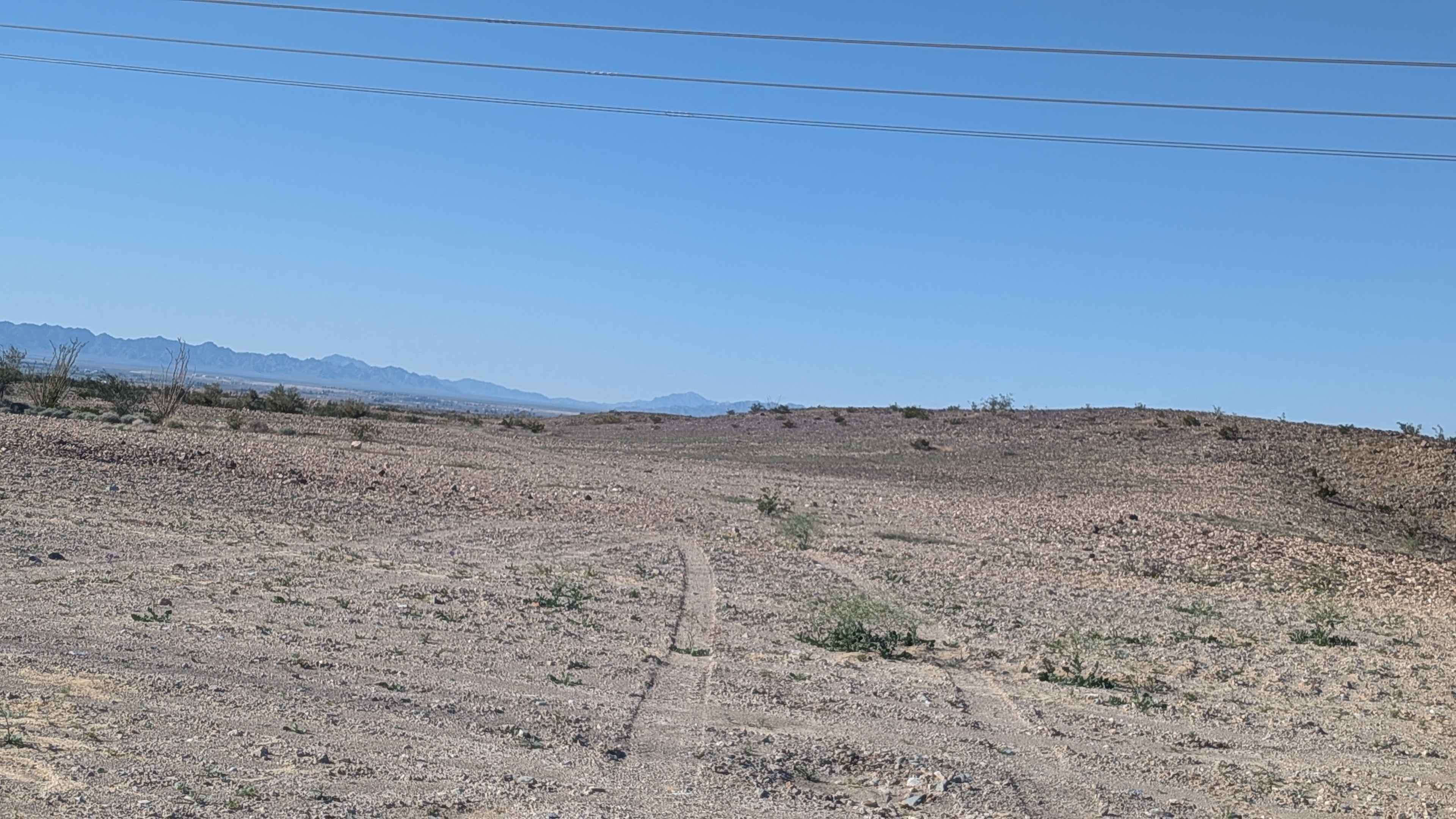
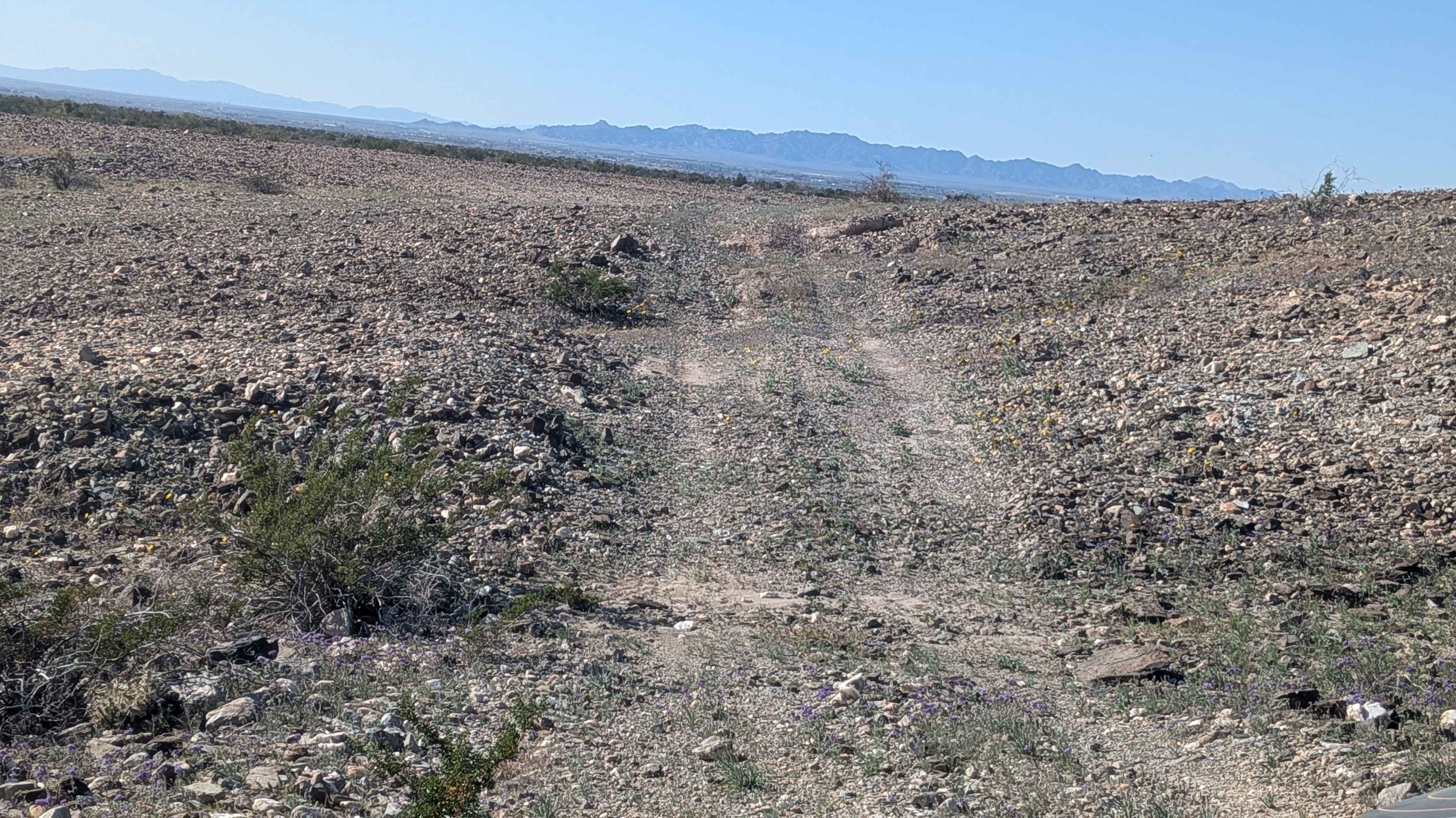
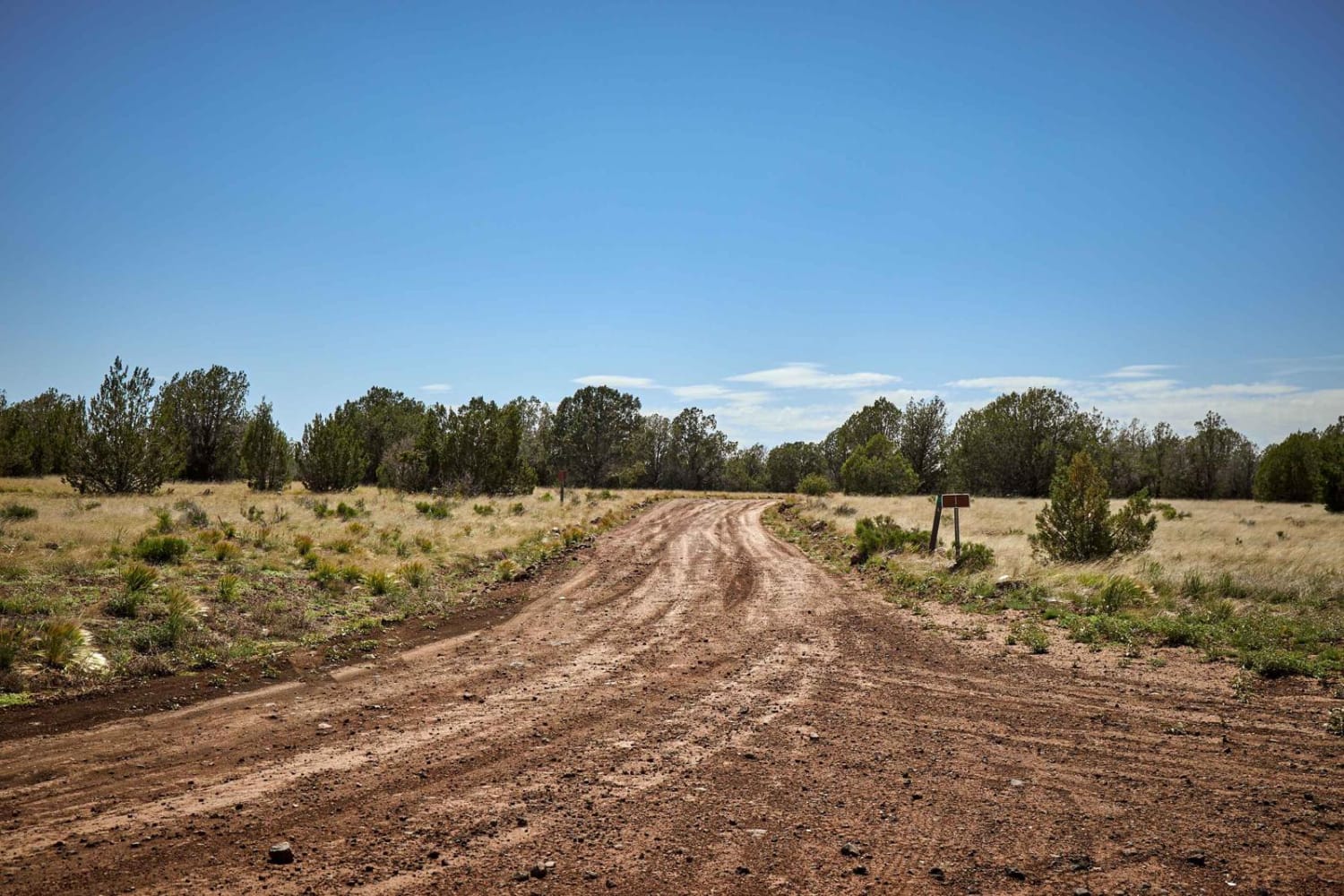
Trail Overview
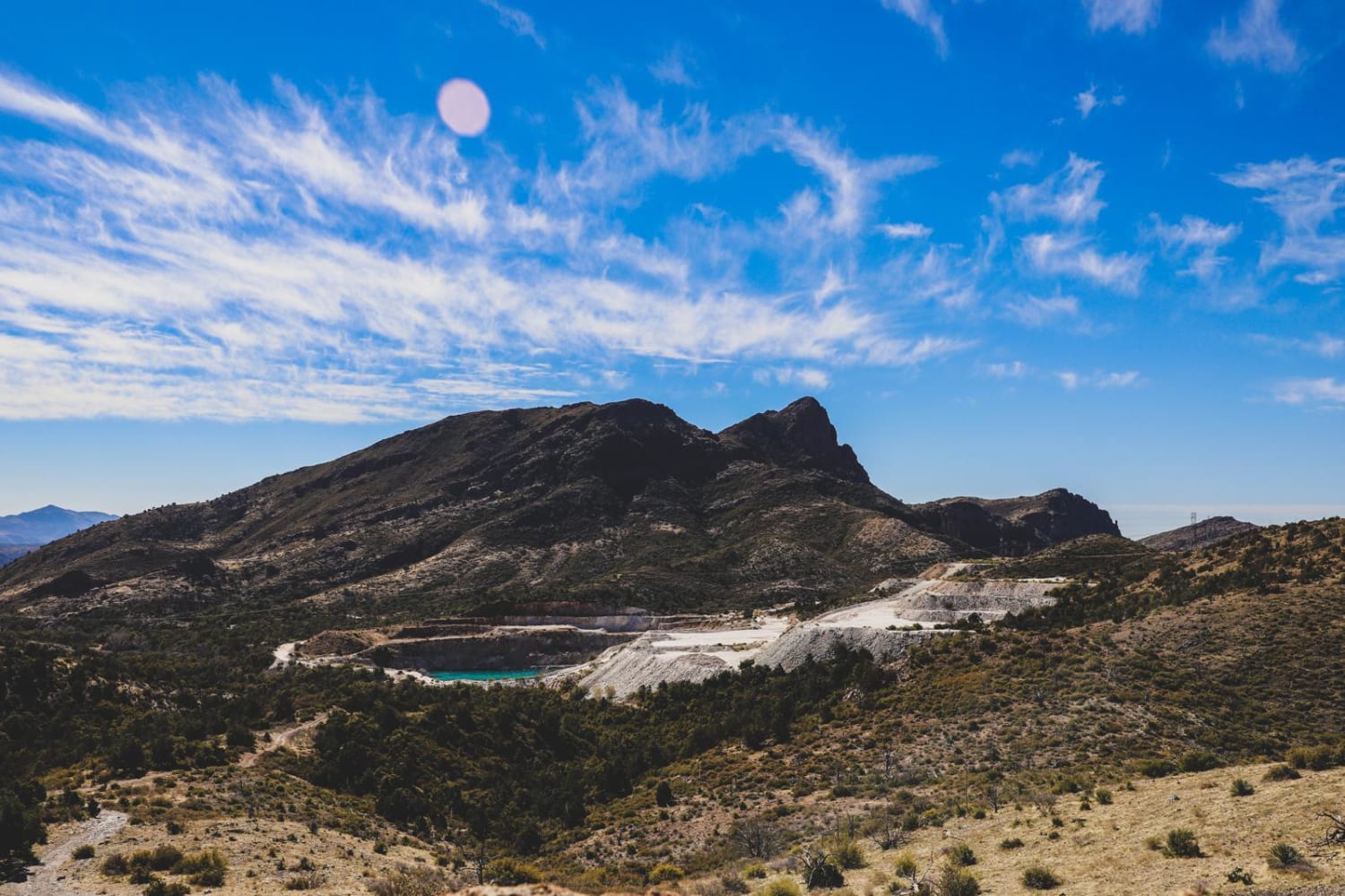
In just under 2.5 miles, this trail climbs 151 feet and drops 43 feet, starting on Pole Trail Road. The surface transitions as you progress: beginning as a very sandy trail, then becoming hard-packed sand, and finally mostly small pebble-sized rocks. The beginning on the west side at Pole Trail Road has been regraded, making the entrance hard to find, so keep your eyes open. After half a mile, the trail climbs up and follows a ridgeline, giving beautiful views of the surrounding area in all directions. You'll enjoy views of the Trigo Mountains and other surrounding peaks as you traverse the elevated terrain. The trail maintains easy conditions until the very east side, where it drops into a canyon and back out, adding a final technical element.
Photos of EC1263
Difficulty
The trail is mostly a rating 1 with straightforward navigation and easy terrain for the majority of the route. The very east side, where it drops into a canyon and climbs back out, bumps the rating to 2, requiring more attention and control since the surfaces turn to looser dirt and sand and are a bit off camber. The varying surface conditions from sand to hard pack to small rocks keep things interesting, but aren't technically challenging.
Status Reports
EC1263 can be accessed by the following ride types:
- High-Clearance 4x4
- SUV
- SxS (60")
- ATV (50")
- Dirt Bike
EC1263 Map
Popular Trails
Single Series
Queen Creek Canyon

Horse Thief Canyon Road

Angry Duck Trail
The onX Offroad Difference
onX Offroad combines trail photos, descriptions, difficulty ratings, width restrictions, seasonality, and more in a user-friendly interface. Available on all devices, with offline access and full compatibility with CarPlay and Android Auto. Discover what you’re missing today!