Date Creek Foothill
Total Miles
3.8
Technical Rating
Best Time
Spring, Summer, Fall
Trail Type
Full-Width Road
Accessible By
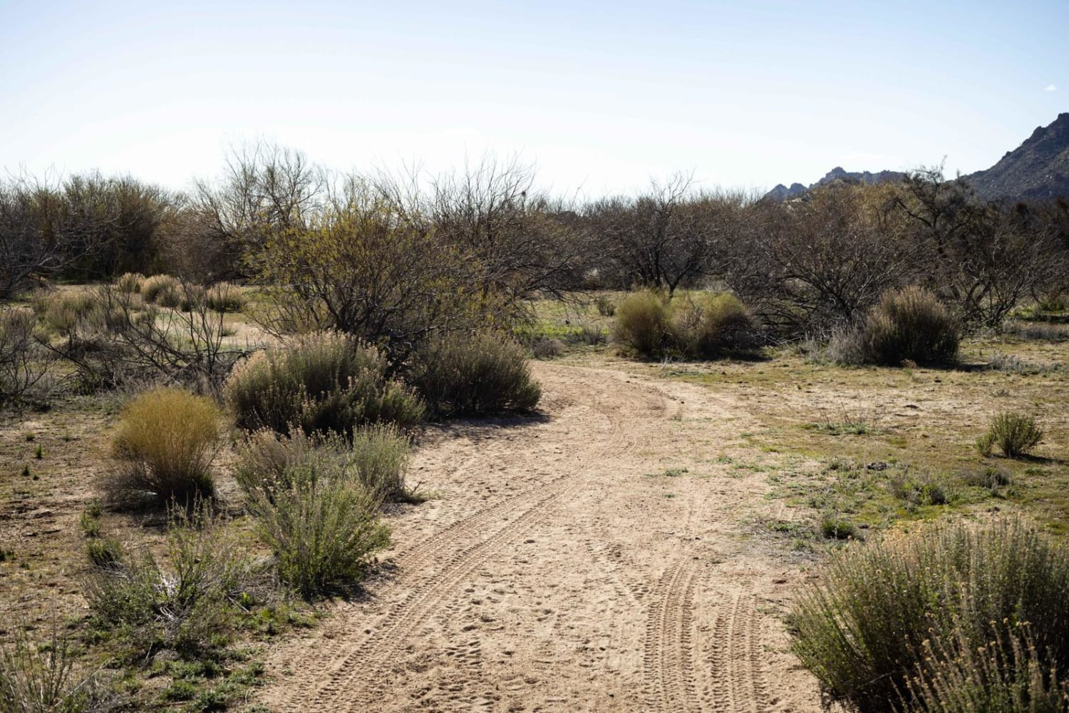
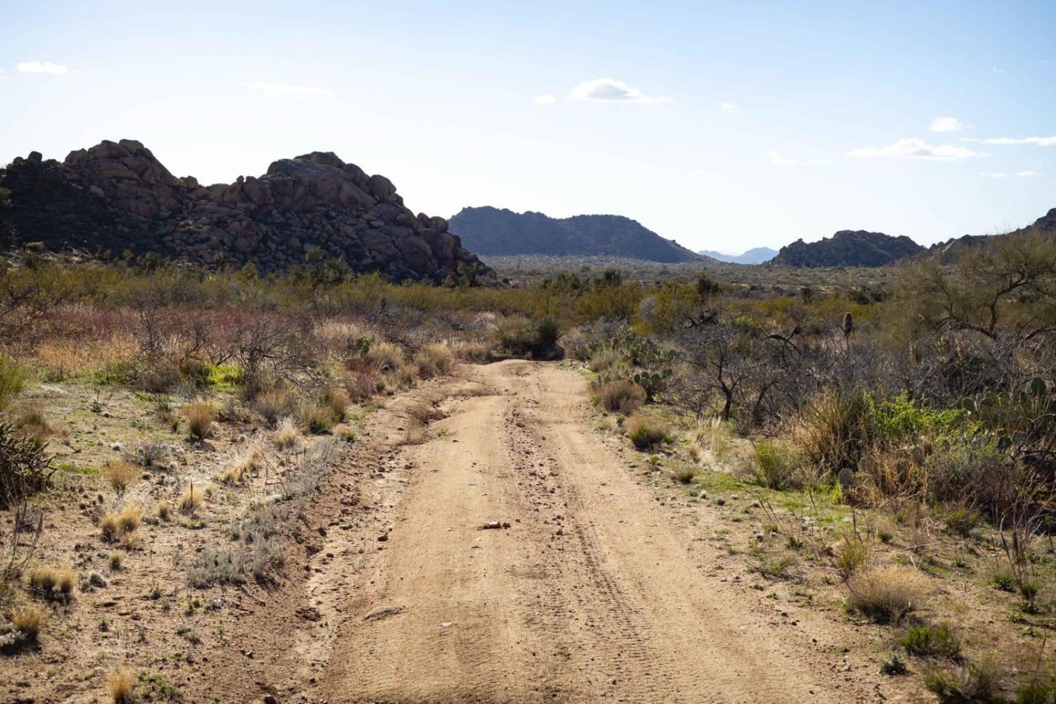
Trail Overview
This trail has many steep wash crossings and erosion that are typical of the trails in this area. Because it is nearer to the mountains to the north, there are a bit more than usual. At the east end of this trail, there is a locked gate into a residential area, so it's best to approach from the west side. Along this trail, the views are incredible. You'll go from a hilly section on the west side to the open desert toward the east. There are cows along this trail, so caution is urged, but with the erosion and wash crossings, it'll be hard to speed anyway. There are a few campsites along this trail that would make it a nice little escape. This route is on Arizona State Trust Land. This land requires a yearly permit that can be purchased and printed online. The permits allow certain recreational activities, including camping, bicycling, bird watching, GPS-based recreational activities (geocaching), hiking, horseback riding, off-highway vehicle (OHV) usage, photography, picnicking, and sightseeing.
Photos of Date Creek Foothill
Difficulty
This trail is unmaintained and has many wash crossings. Some of these have deeper channels in them and would prove challenging after a rain event.
Status Reports
Date Creek Foothill can be accessed by the following ride types:
- High-Clearance 4x4
- SUV
- SxS (60")
- ATV (50")
- Dirt Bike
Date Creek Foothill Map
Popular Trails

Pakoon Basin - BLM 1007
Lower Woody's Wash

Gunsight Point Road - BLM1048-BLM164
The onX Offroad Difference
onX Offroad combines trail photos, descriptions, difficulty ratings, width restrictions, seasonality, and more in a user-friendly interface. Available on all devices, with offline access and full compatibility with CarPlay and Android Auto. Discover what you’re missing today!