Copper Creek Mine Trail
Total Miles
13.1
Technical Rating
Best Time
Winter, Fall, Summer, Spring
Trail Type
Full-Width Road
Accessible By
Trail Overview
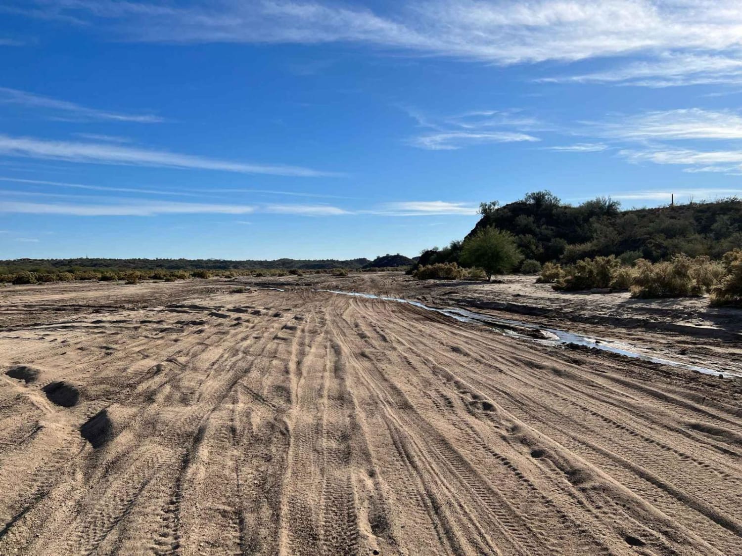
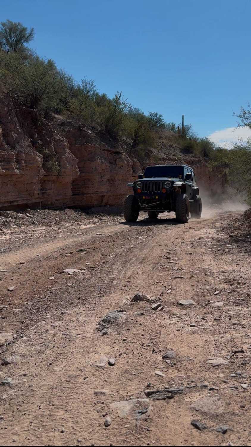
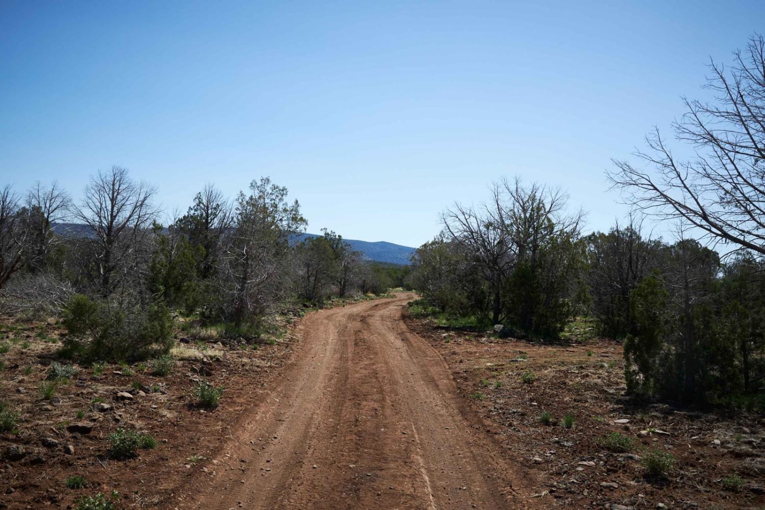
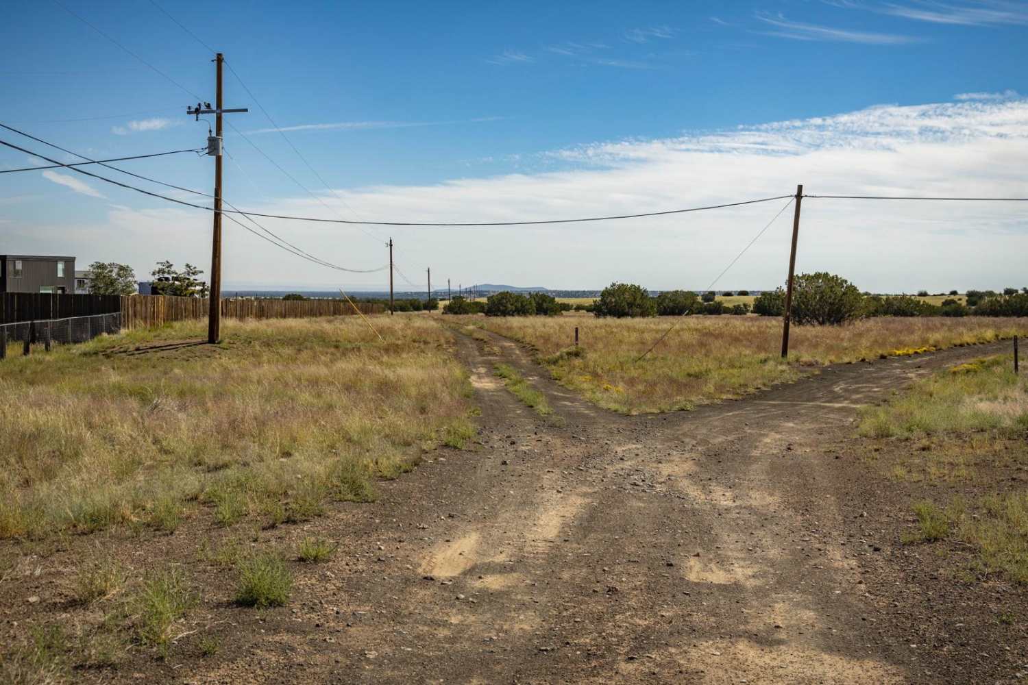
This scenic trail takes you on a winding journey through the rugged desert landscapes of southern Arizona, offering stunning views of mountain peaks as it meanders along. Starting in State Trust land, the trail leads you toward the active mining areas near Mammoth, Arizona, before eventually reaching the once-thriving mining town of Copper Creek. Along the way, you'll encounter several historic spots, including the copper-colored creek that gives the area its name, old mining sites, and the remnants of the Copper Creek Post Office. The trail features a mix of challenging terrain, including rocky paths, dirt roads, and switchbacks, with sections that hug the edge of cliffs, offering a true backcountry experience as you make your way to the historic mine site. Prepare for a rugged, yet rewarding adventure through a landscape rich in history and natural beauty.*You must obtain a permit from the Arizona State Land Department (ASLD) to be on State Trust lands. This trail does pass by Private land (Blue Bird Mining District), please stay on the trail and respect all Tread Lightly principles.
Photos of Copper Creek Mine Trail
Difficulty
The trail is a maintained dirt road while passing the active mining areas then once you get to the split the trail becomes an uneven, rutted dirt path with sections that may have loose rocks. Be prepared for occasional rock gardens and obstacles up to 12 inches, including ledges and short, steep inclines. The roads are typically wide enough for more than one vehicle, but as you enter the actual Copper Creek Mine area it is a very narrow shelf-like cliff with only room for one vehicle at a time.
History
The Copper Creek Mine, once a bustling site for copper extraction in the late 1800s, offers a fascinating window into the area's industrial past. Along the trail, you'll pass by remnants of old mining equipment, rusted rail tracks, and foundation stones that were once part of the mine's operations. Interpretive signs help to tell the story of the mine's history and its role in the local economy.
Status Reports
Copper Creek Mine Trail can be accessed by the following ride types:
- High-Clearance 4x4
- SUV
- SxS (60")
- ATV (50")
- Dirt Bike
Copper Creek Mine Trail Map
Popular Trails

Hassayampa River
The onX Offroad Difference
onX Offroad combines trail photos, descriptions, difficulty ratings, width restrictions, seasonality, and more in a user-friendly interface. Available on all devices, with offline access and full compatibility with CarPlay and Android Auto. Discover what you’re missing today!


