BH1076
Total Miles
2.7
Technical Rating
Best Time
Spring, Fall, Winter
Trail Type
Single Track
Accessible By
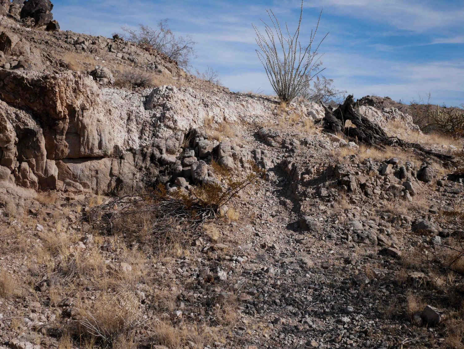
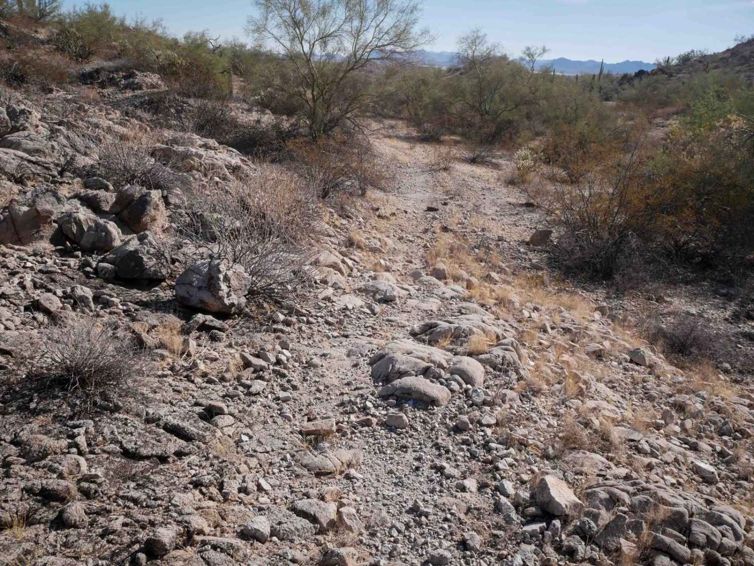
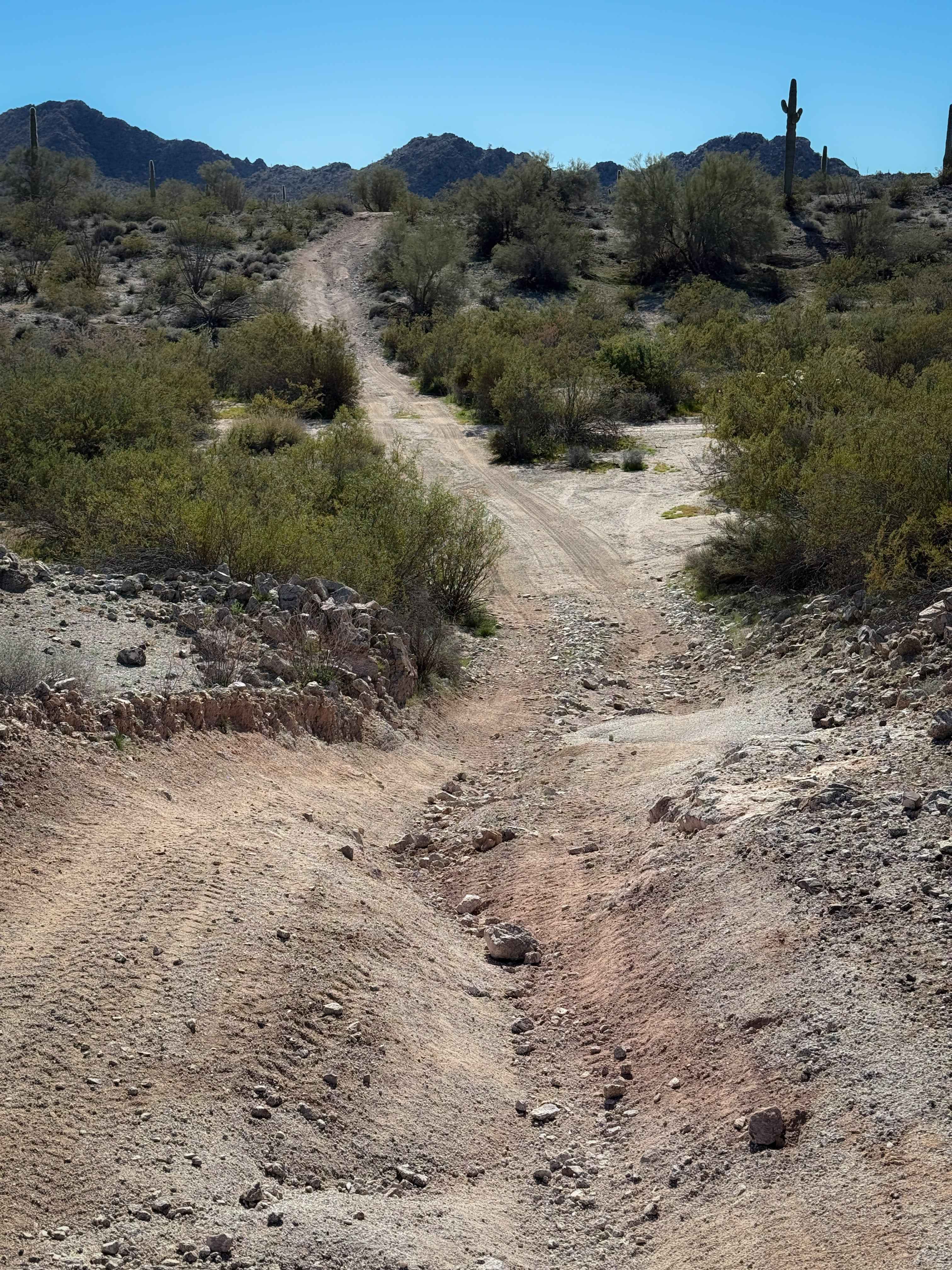
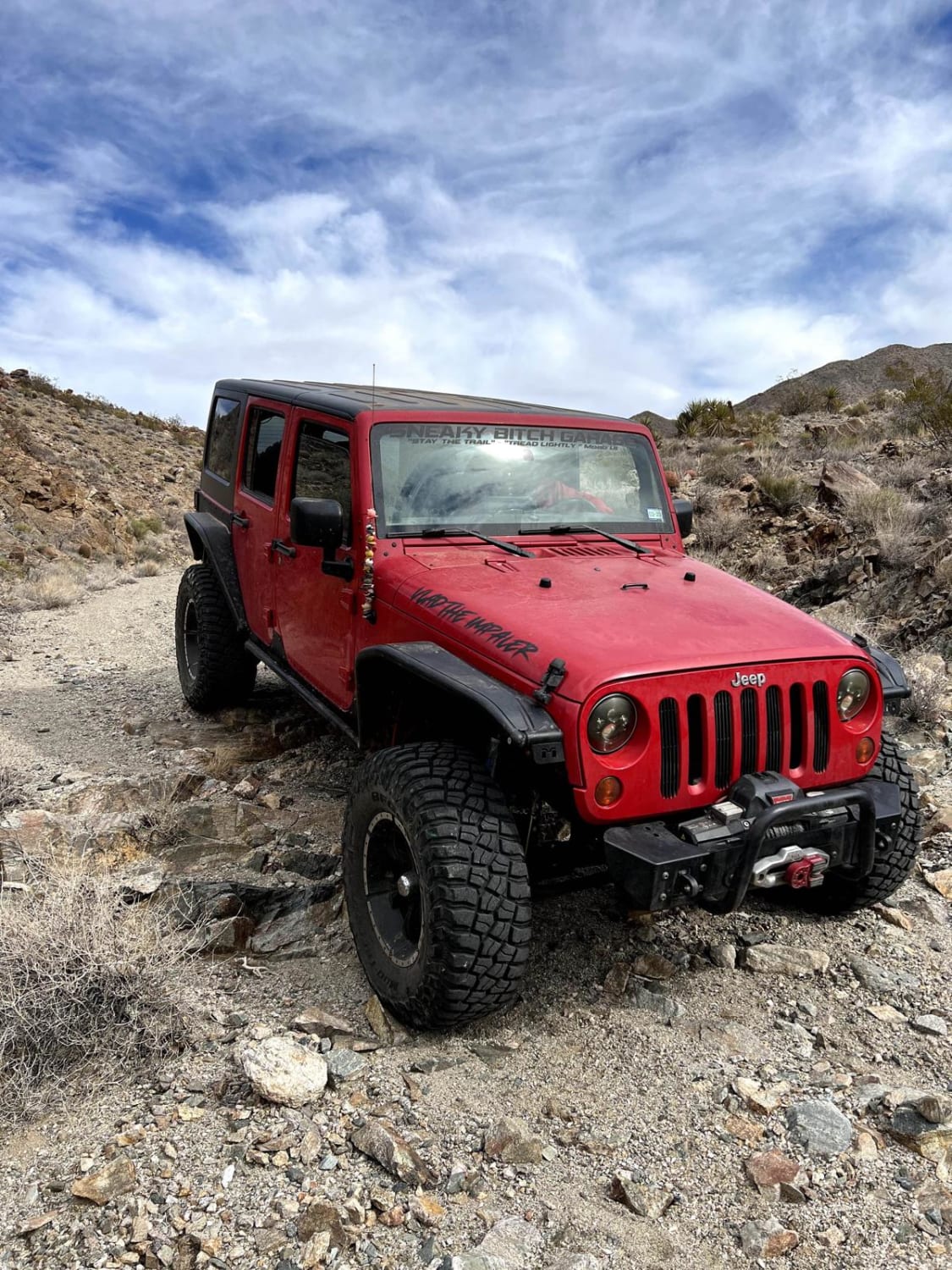
Trail Overview
This is a fun and scenic dirt bike trail south of Buckeye, Arizona. It starts at unmarked entrances on both the west and east and ends at dirt roads. A lot of this trail is pretty faint, with not many tracks to follow, so it will require some navigation skills. It's easy to miss the turns and get off track, so a map is necessary. It goes through the rolling desert hills in this barren, gravelly terrain. It crosses rocky V-bottom ravines, rides past lots of cacti, and goes up and down small hills. The trail goes past some scenic rock outcroppings, through a fence, and past a mountain bike shrine. There are a couple of harder hill climbs that are more primitive, loose, and rocky up steep slopes with ruts. There are also a couple of small rock ledges on this one, making it harder than any of the other dirt bike trails in the area. This trail intersects with a popular mountain bike trail called Chloe's Climb, but there are no signs to indicate the nonmotorized sections.
Photos of BH1076
Difficulty
This is an intermediate trail due to several primitive loose hill climbs and a couple of small rock ledges.
Status Reports
BH1076 can be accessed by the following ride types:
- Dirt Bike
BH1076 Map
Popular Trails

24068 Trail
Old 301 Road (Southern Section)
Golden Mile Trail
The onX Offroad Difference
onX Offroad combines trail photos, descriptions, difficulty ratings, width restrictions, seasonality, and more in a user-friendly interface. Available on all devices, with offline access and full compatibility with CarPlay and Android Auto. Discover what you’re missing today!