Hs71l
Total Miles
0.9
Technical Rating
Best Time
Winter, Spring, Fall
Trail Type
50" Trail
Accessible By
Trail Overview
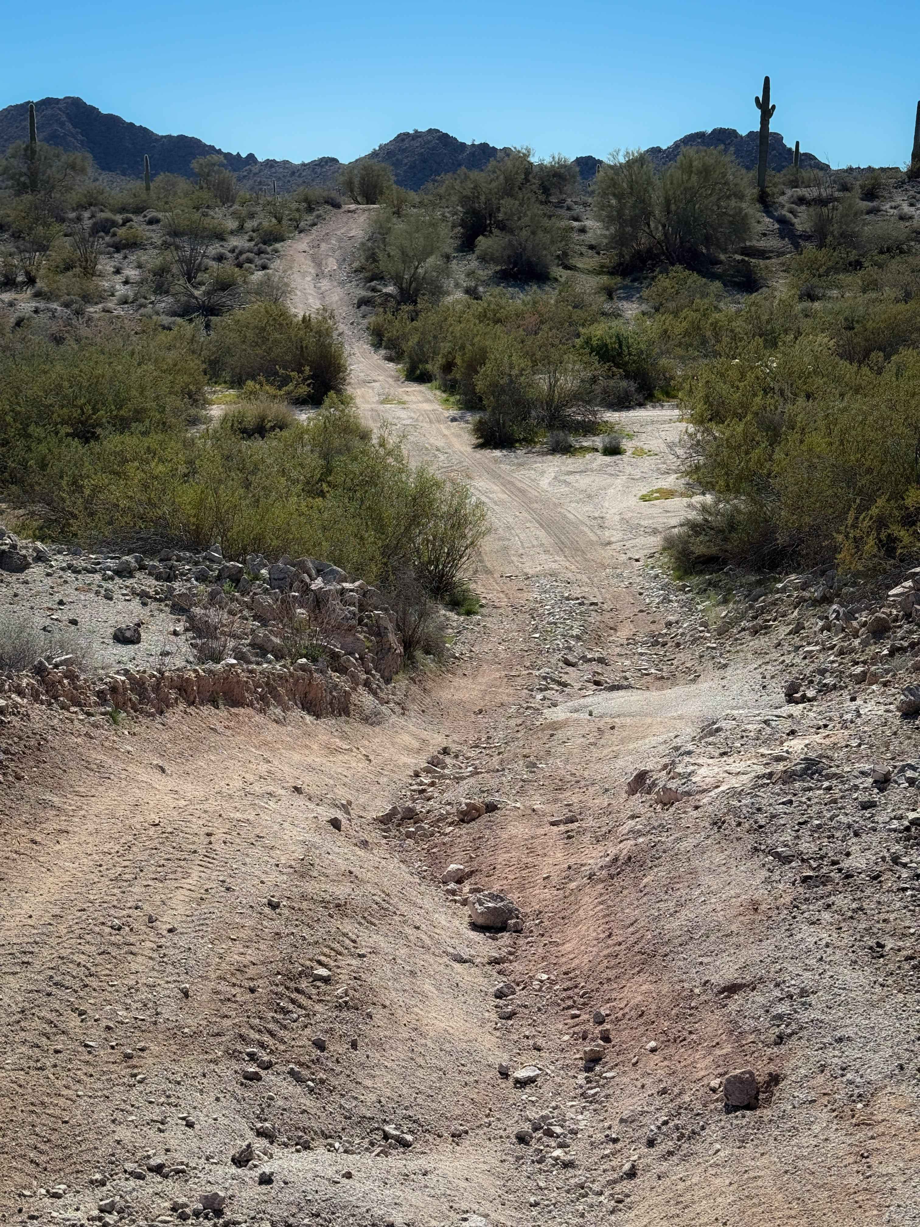
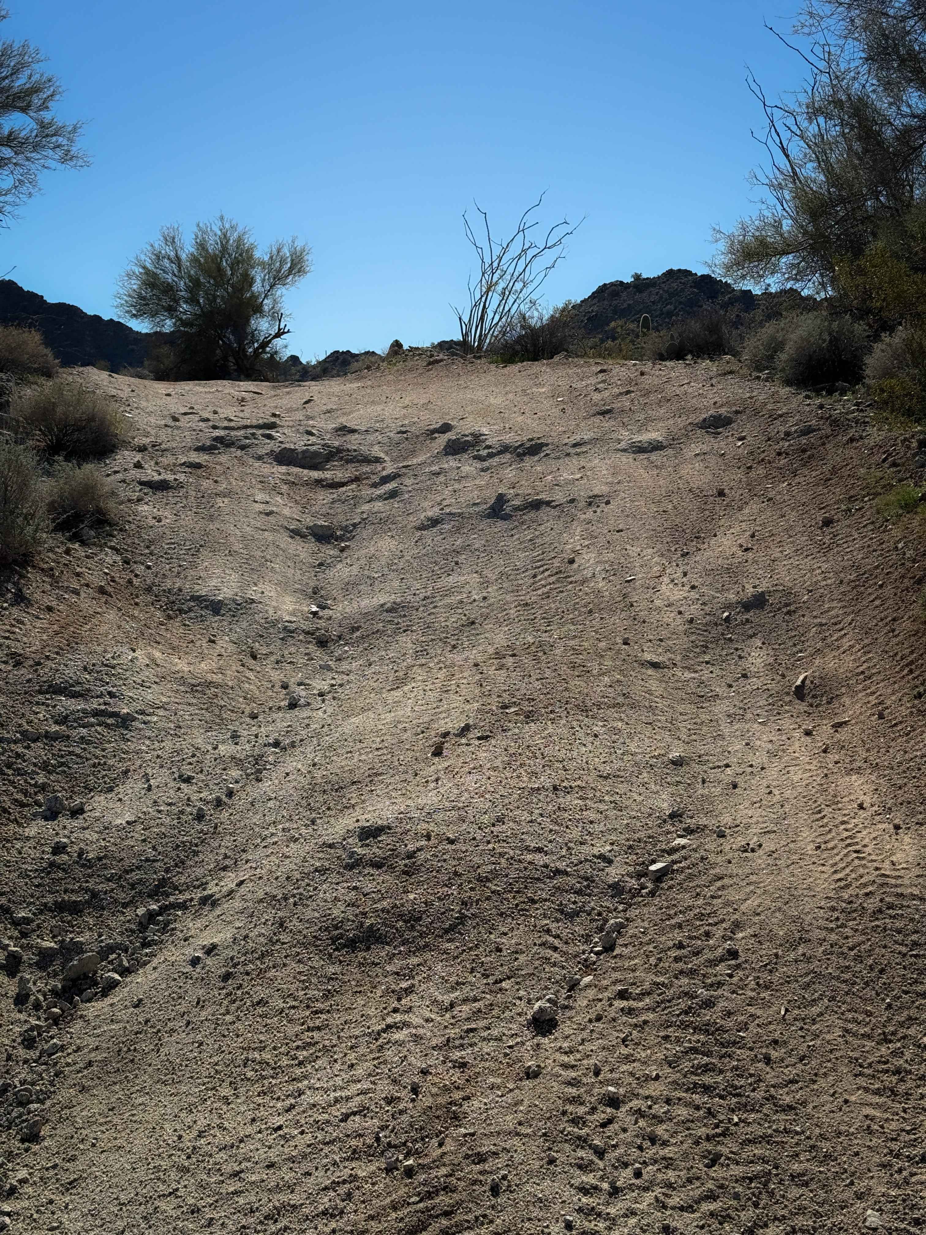
This is a short desert trail less than a mile long that mostly goes straight and flat through the BLM land near Salome, Arizona. It rides through a dry desert landscape of paloverde trees and creosote bushes, with tall saguaro cactus dispersed through the brush. The trail has little dips across ravines, shallow ruts, and small loose rock. There was one small descent with some bigger ruts that ATVs can easily straddle. The trail consistently goes up and down tiny hills, with minor embedded rock layers within the dirt surface. It easily connects to several other similar trails and washes, crossing several unmarked intersections.
Photos of Hs71l
Difficulty
This is a very easy trail that remains gradual and straight for much of the route. It is ideal for riders of all skill levels.
Status Reports
Hs71l can be accessed by the following ride types:
- ATV (50")
- Dirt Bike
Hs71l Map
Popular Trails

Creek to Peak

Mesa Tank to Wash Problems

Belmont Mountain
The onX Offroad Difference
onX Offroad combines trail photos, descriptions, difficulty ratings, width restrictions, seasonality, and more in a user-friendly interface. Available on all devices, with offline access and full compatibility with CarPlay and Android Auto. Discover what you’re missing today!