Bc1015 & Bc1213
Total Miles
3.4
Technical Rating
Best Time
Spring, Fall, Winter
Trail Type
High-Clearance 4x4 Trail
Accessible By
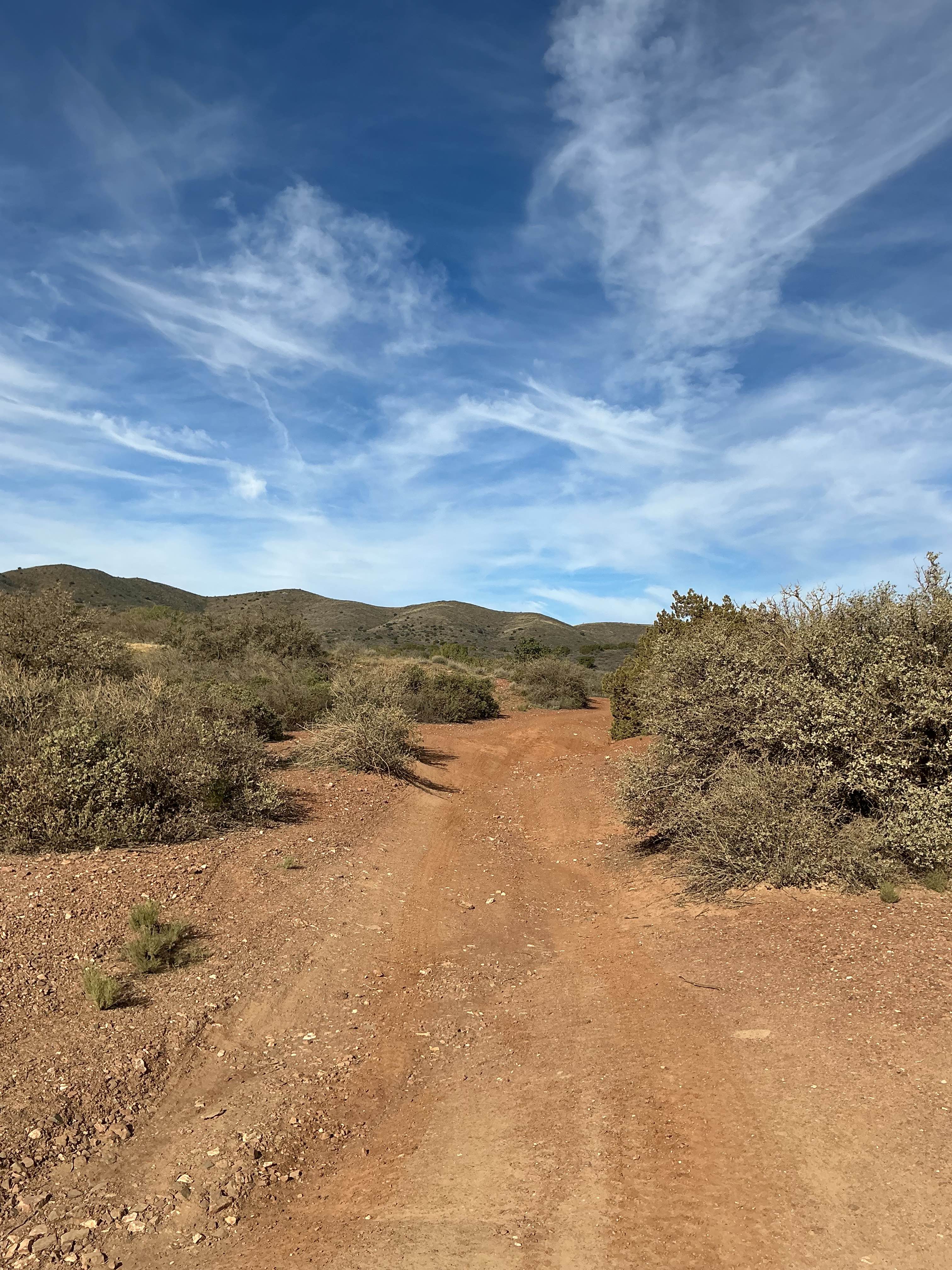
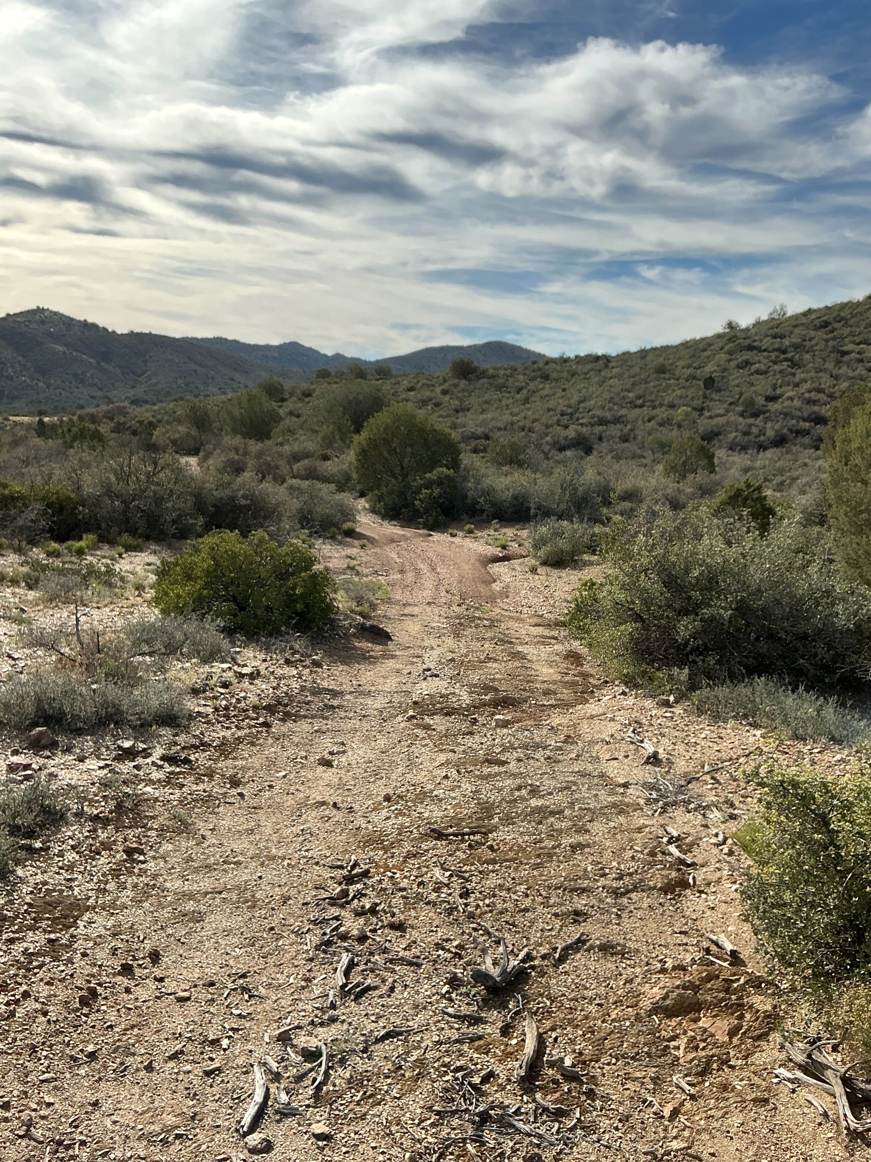
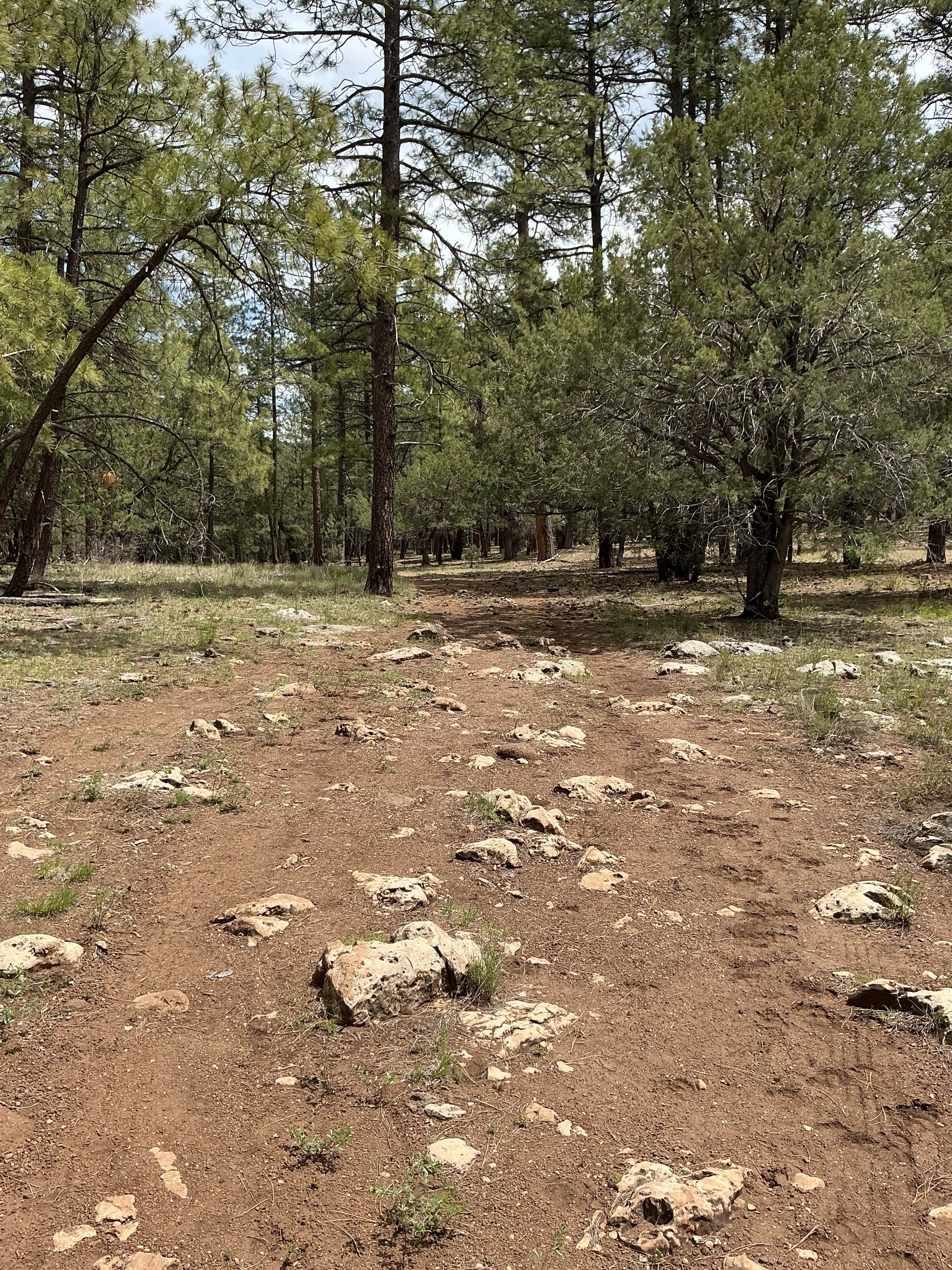
Trail Overview
The majority of this guided trail consists of two BLM roads that are just short of three and a half miles long. The eastern part of this trail is the roughest and most eroded. You will be constantly navigating over erosion ruts with loose rocks all over the trail's surface. As you travel West, the trail gets rougher as you near a saddle. There is one area that is considerably rocky, uneven, and steep. Proper tire placement is key over this eroded section. This area will have even more experienced riders/drivers checking their lines. As you crest over the saddle, the trail becomes less eroded and drops down in elevation to the West. As trails turns to the North, the surface becomes even more level and easy-going. The trail then ends at private land with a turnaround point. This trail has an array of wildflowers in the spring. To note, there are several areas on this trail that are narrow and might cause paint damage for full sized 4x4's.
Photos of Bc1015 & Bc1213
Difficulty
Expect an uneven, rutted dirt trail with loose rocks and erosion. Expect short, steep grades with obstacles up to 18 inches.
Bc1015 & Bc1213 can be accessed by the following ride types:
- High-Clearance 4x4
- SxS (60")
- ATV (50")
- Dirt Bike
Bc1015 & Bc1213 Map
Popular Trails

Nelson's Cutoff

Muggins Mountain Middle West Spur

The onX Offroad Difference
onX Offroad combines trail photos, descriptions, difficulty ratings, width restrictions, seasonality, and more in a user-friendly interface. Available on all devices, with offline access and full compatibility with CarPlay and Android Auto. Discover what you’re missing today!