Agua Caliente - Adventure to Buckeye Mine
Total Miles
13.3
Technical Rating
Best Time
Spring, Fall, Winter
Trail Type
Full-Width Road
Accessible By
Trail Overview
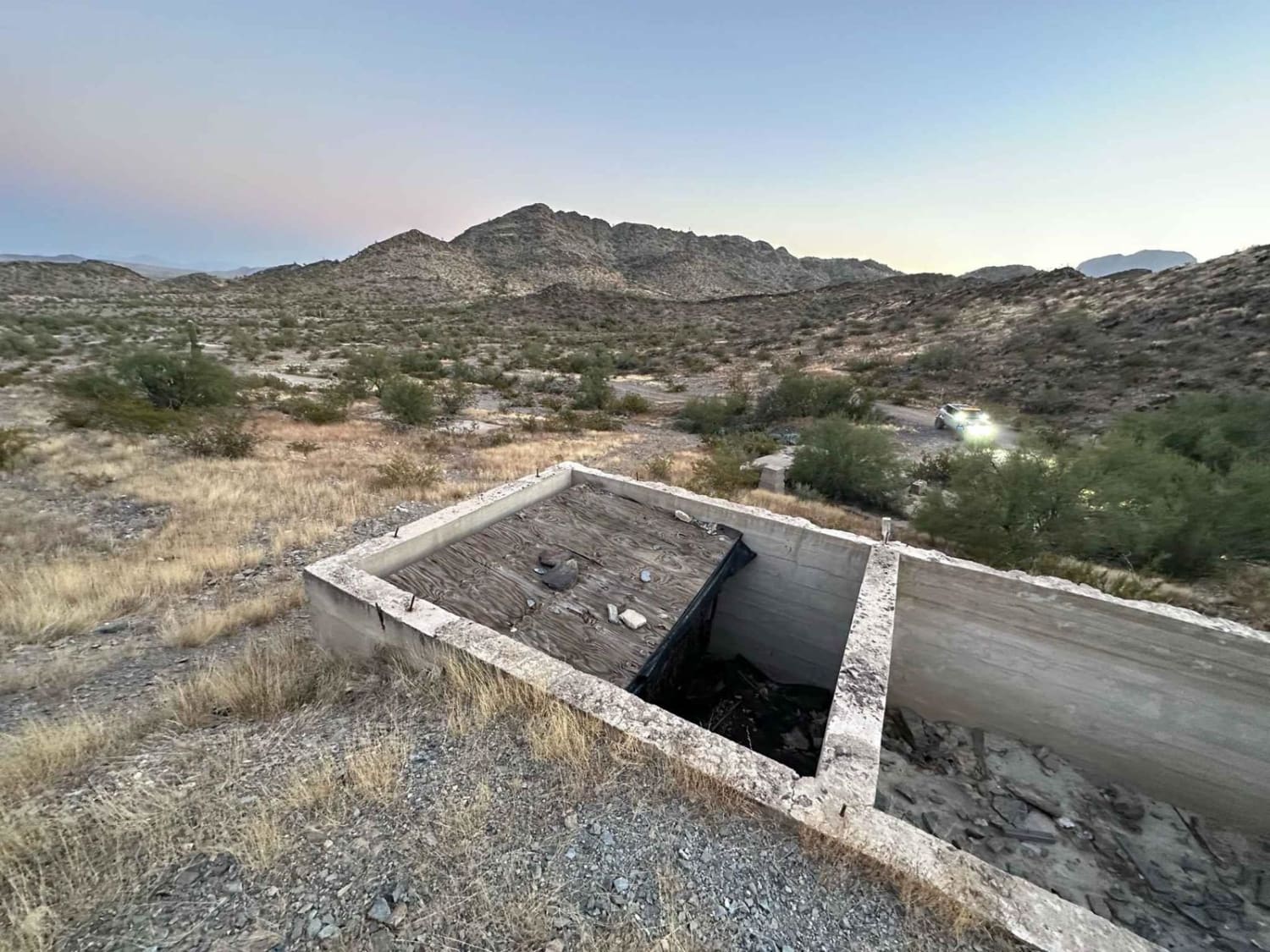
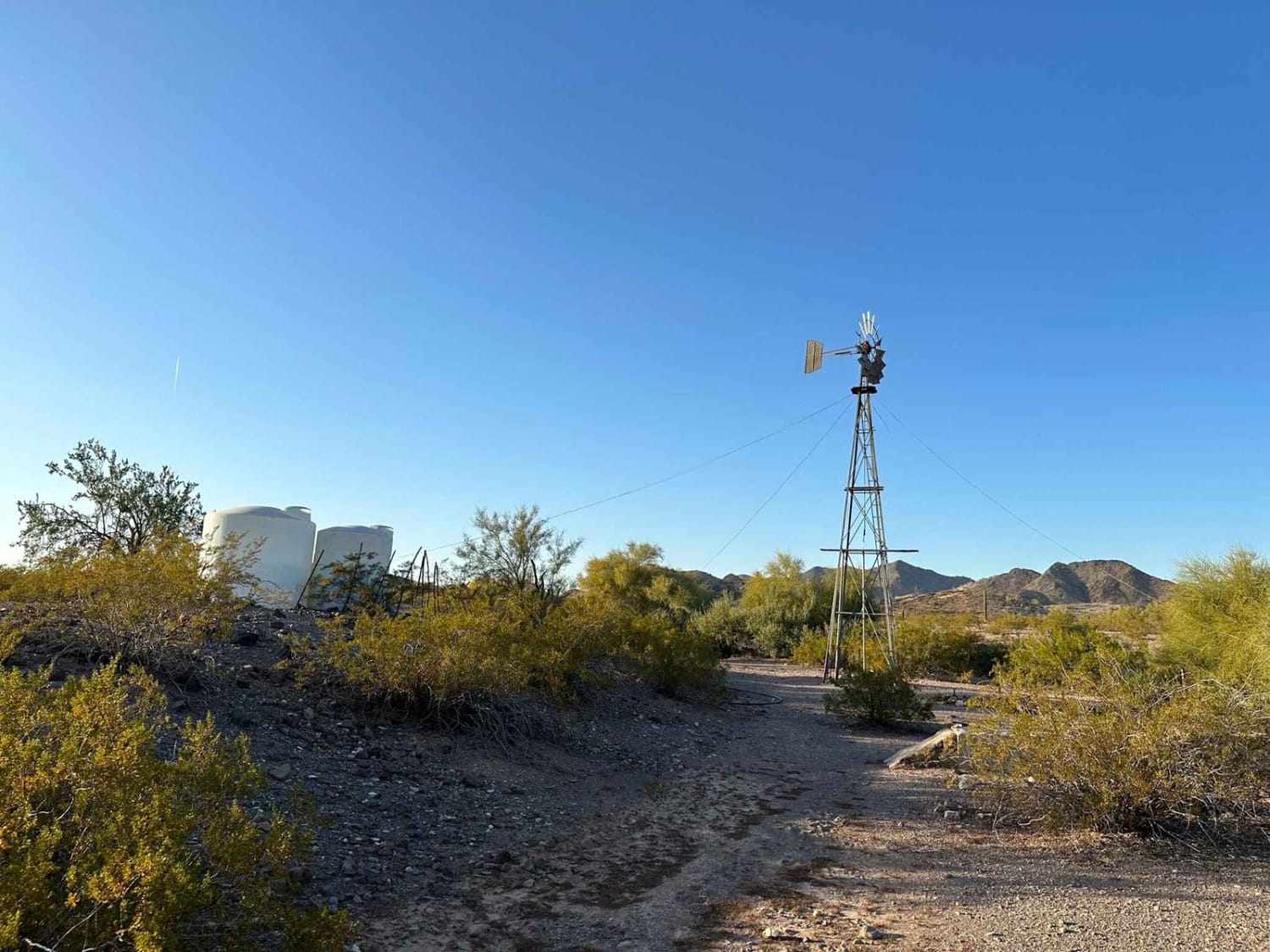
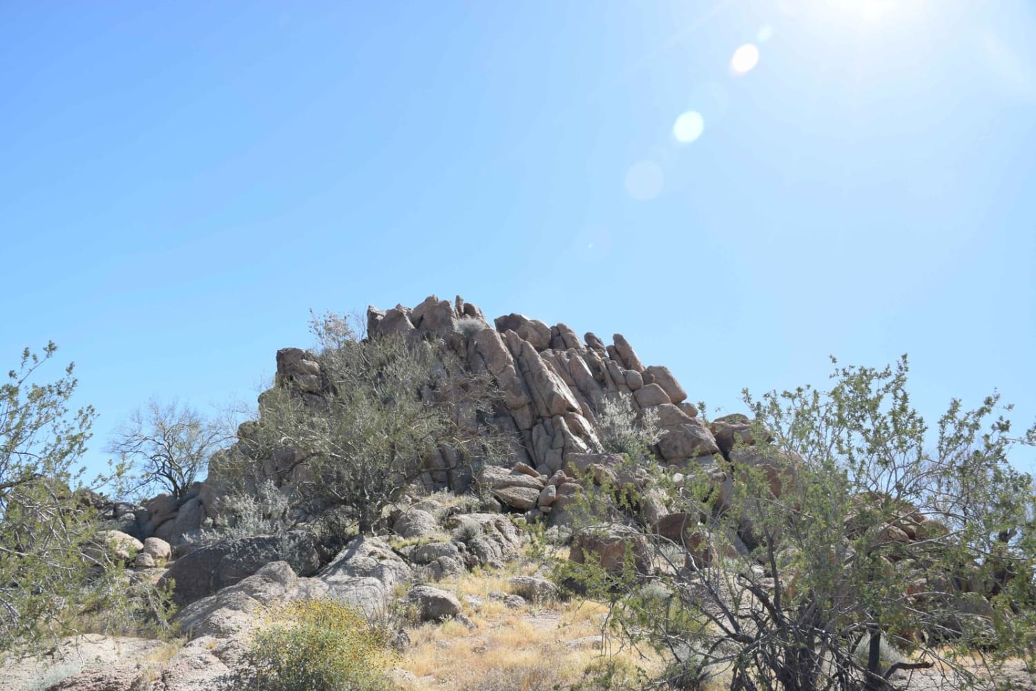
Leave the relative safety and comfort of Agua Caliente Road behind as you travel up into the mountains to explore the abandoned Buckeye Copper Mine. Amazing views, plentiful animal life, and a plethora of opportunities to explore on foot. This trail is fairly easy but still presents an opportunity to put your driving to the test as you snake up into the mountains in order to get to the actual mine. Several washed-out sections of the trail make 4x4 a must. Plenty of places to stop along the way for photos and there are a few scattered firepits/camp spots that are easily accessible for RVs and larger vehicles before stop 1. This trail skirts the Woolsey Peak Wilderness Area, so be mindful and watch your map to make sure you don't end up in an off-limits area. Stop 1 is the old windmill and water tanks before heading up into the mountains. Lots of interesting photo opportunities, and there is a vertical mine shaft located about 80m to the north/northwest. The mineshaft is somewhat plugged and has a very small fence around it but still presents a risk, so keep an eye on your pets. Head North through the wash from this spot to continue to the main mine. Stop 2 is the mining operation itself. There are open vents leading into the mineshaft at ground level, so keep your dogs on a leash. Concrete slabs are all that remains of the buildings that previously existed. Plenty to explore on foot in this area, but watch where you step! There is an opportunity to see inside the mine, and this is a very popular destination for the local bat population. Follow the footpath to see the mine portal. After you leave the mine, the trail crests a few mountaintops which presents an opportunity for amazing photographs. The entire trail takes place in BLM land, so the typical BLM rules apply. This area is very remote despite being only about 1 hour from Phoenix, so bring plenty of water. Surprisingly, there is cellphone service on many sections of the trail thanks to the surrounding farms.
Photos of Agua Caliente - Adventure to Buckeye Mine
Difficulty
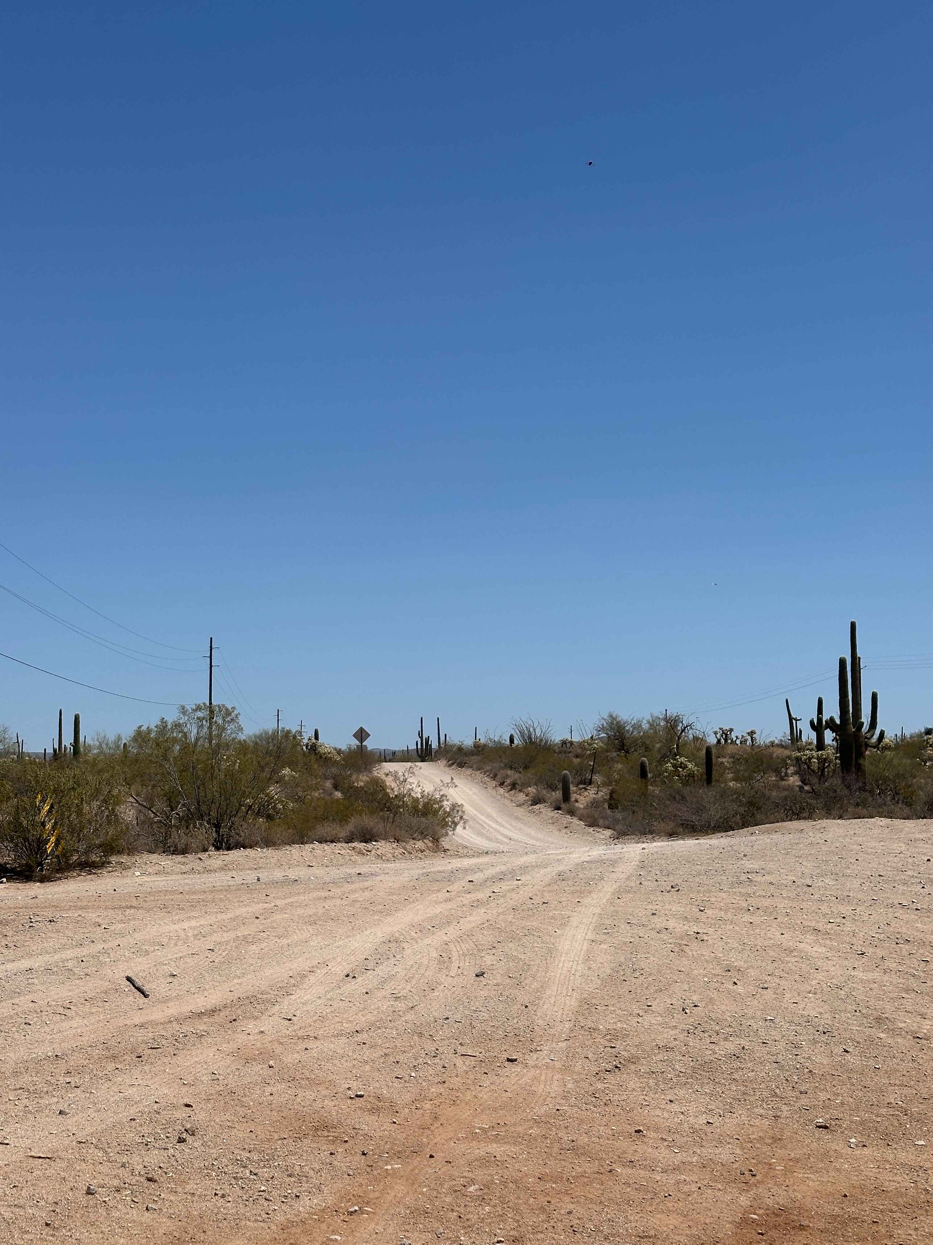
This trail starts off little elevation change on a nice wide single lane path. As you drive towards the mine, you'll start to cross washed out sections of the road and need to pass through a few steep washes. AWD would be fine up to the first section of the mine, but the trail does progress in difficulty past that point. Once you leave the windmill and continue down the wash, a 4x4 will be needed. A few areas have steep approach and departure angles, so pick your approaches carefully to avoid rubbing your front/rear bumper on the ground. Watch out for the large wash out and go plenty wide!
History
The Buckeye Copper Mine was owned and operated by John & Clyde Lemons, and was in operation from the early 1960s to about 1975. It appears that the mine was never particularly successful and there isn't a lot of recorded information to make sense of the area. There are 12-15 concrete pads where buildings previously stood gated mineshaft entrance, ventilation shafts and other miscellaneous stuff, but no records exist to indicate what each building was. The deepest vertical shaft apparently reached about 200 feet. There are several off-shoots and smaller vertical shafts, so total size of the mine is hard to estimate. There is a secondary tailings pile located on the west side of the mountain, but unsure if it is a secondary exploration shaft or a continuation of the main mine.
Status Reports
Agua Caliente - Adventure to Buckeye Mine can be accessed by the following ride types:
- High-Clearance 4x4
- SUV
Agua Caliente - Adventure to Buckeye Mine Map
Popular Trails
Whitlow Ranch Road

Lower Mid-Canal
Backway to Waterfall
The onX Offroad Difference
onX Offroad combines trail photos, descriptions, difficulty ratings, width restrictions, seasonality, and more in a user-friendly interface. Available on all devices, with offline access and full compatibility with CarPlay and Android Auto. Discover what you’re missing today!