Tripp III
Total Miles
2.6
Technical Rating
Best Time
Summer, Fall
Trail Type
Full-Width Road
Accessible By
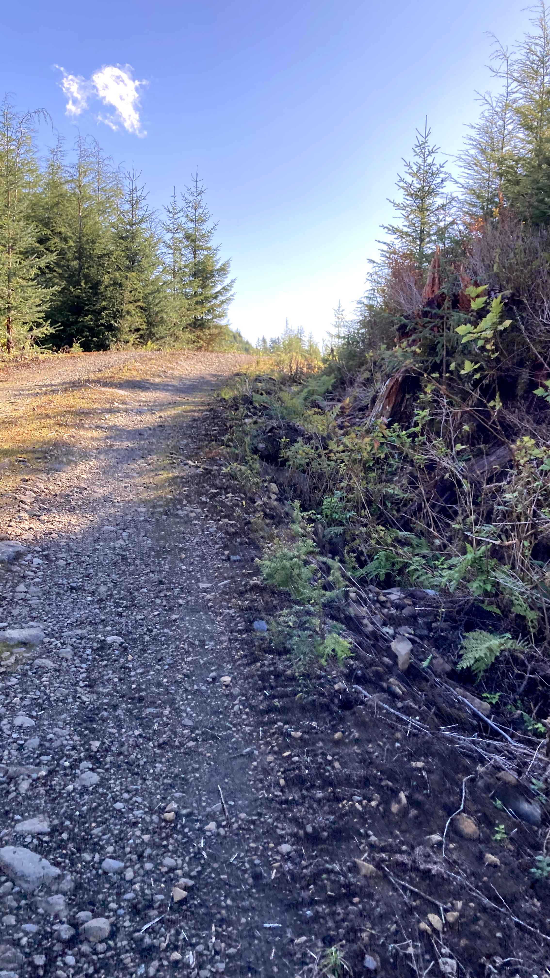
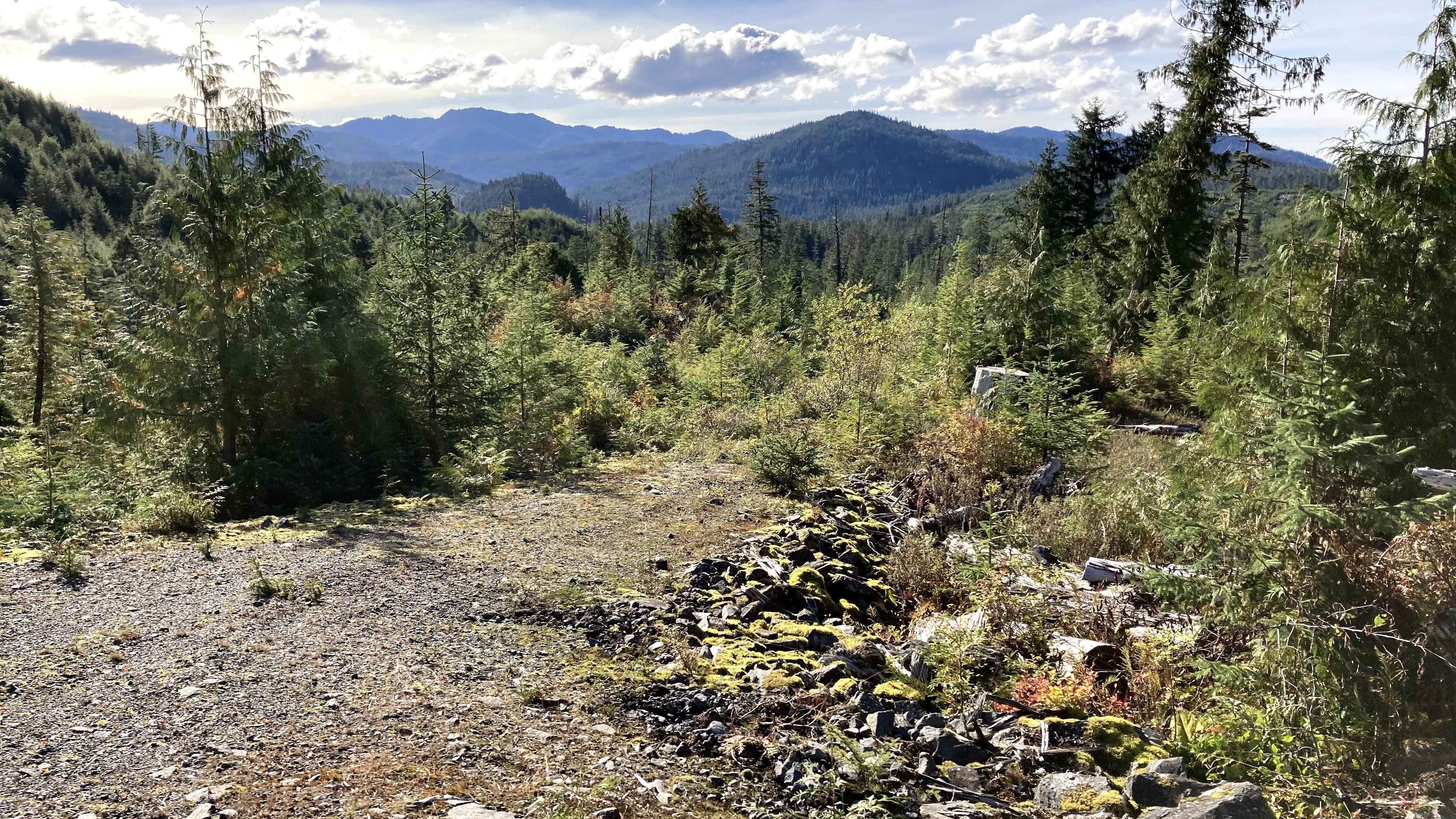
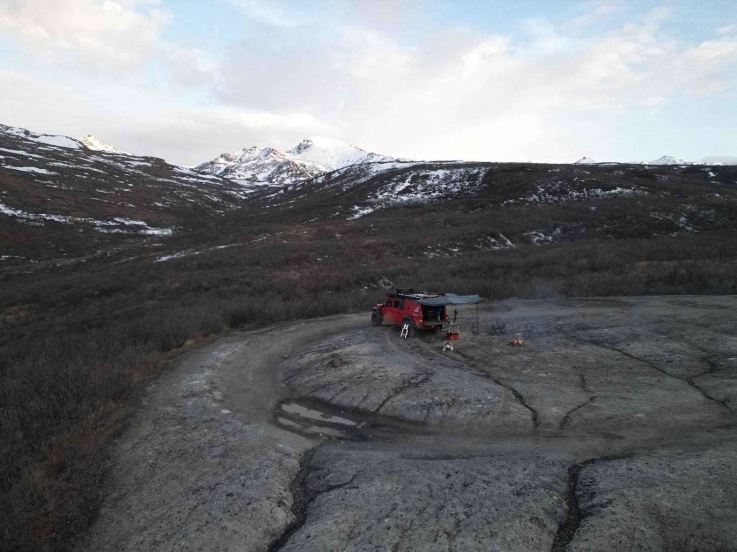
Trail Overview
This Road is off of Shelter Cove (Section 1) at the Rock Pit. There is a road between the Rock Pit and the turn to continue on Shelter Cove Road (Section 1). Take the road to the right of the Rock Pitt. This is a hilly, winding, gravel and dirt one-lane road with areas where the road has steep inclines and drops off on the side. There are Rock Pits along this road and pull-out areas as well for allowing passing vehicles or parking to explore. There are 4 connecting roads to this point on the map. The Road continues. Multiple pull-out areas or roads that have grown over and make a nice parking or camping spot off the road. Trees and shrubs line this road in some areas, and then it opens up to see the areas around it. The road passes over a creek. This Road is above Leusk Lake, with the connecting roads all leading to landing areas closer to the lake. Great area with views. Keep on the road. Watch for signs of road deterioration, washouts, and fallen trees and rocks due to heavy rainfall and mudslides. Be mindful of wildlife, especially bears. No cell service noted. Check weather conditions and be prepared for rain, fog with low visibility, and lower temperatures. It is a rainforest.
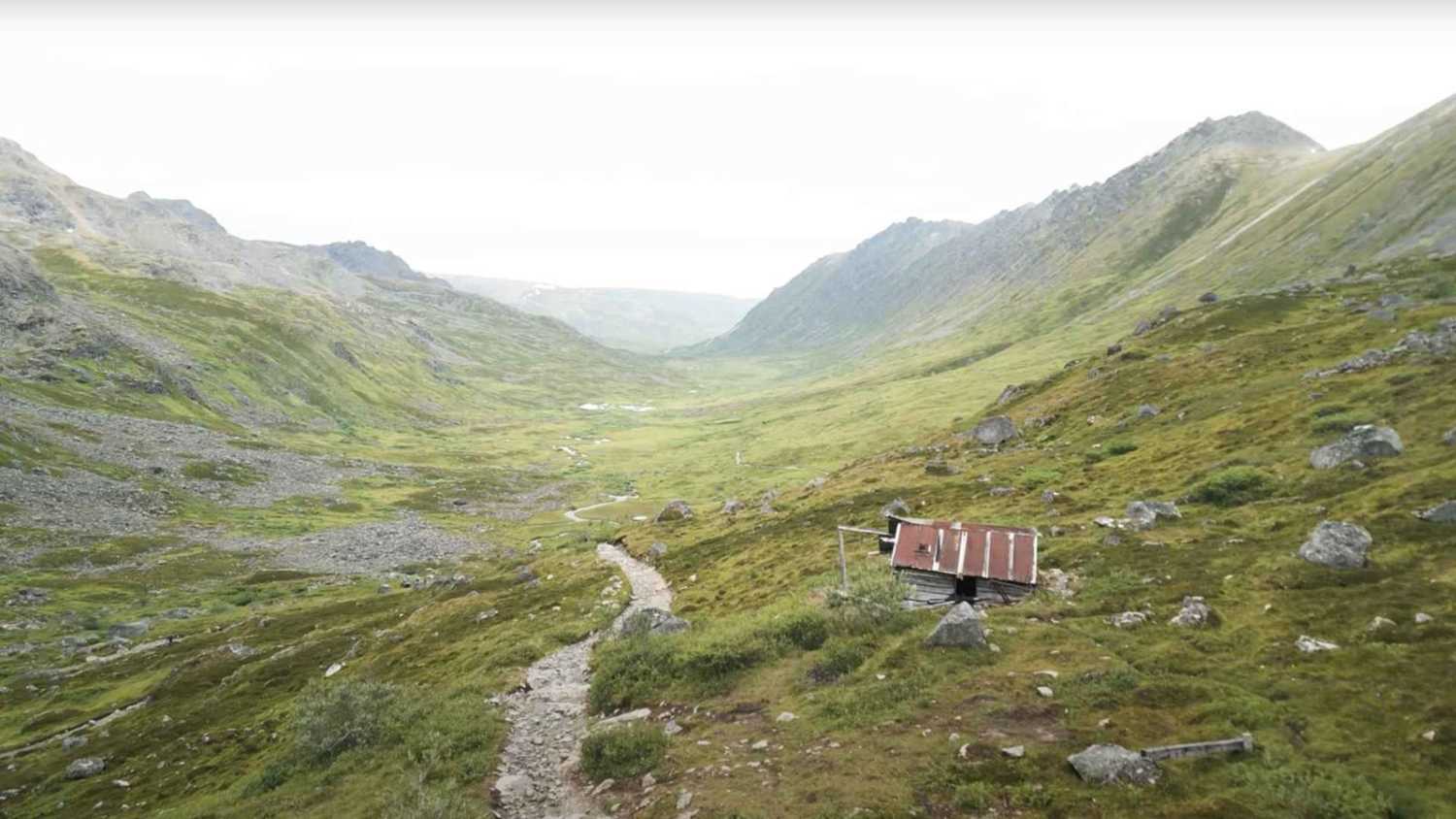
Photos of Tripp III
Difficulty
This is a one-lane road with Dips and potholes and some areas with steep drop-offs. You would need to find a spot and pull over when there's oncoming Traffic.
Status Reports
Tripp III can be accessed by the following ride types:
- High-Clearance 4x4
- SUV
- SxS (60")
- ATV (50")
- Dirt Bike
Tripp III Map
Popular Trails
Purches Creek
Black Diamond Peak 1
The onX Offroad Difference
onX Offroad combines trail photos, descriptions, difficulty ratings, width restrictions, seasonality, and more in a user-friendly interface. Available on all devices, with offline access and full compatibility with CarPlay and Android Auto. Discover what you’re missing today!