Shelter Cove Road (Section 2)
Total Miles
7.8
Technical Rating
Best Time
Summer, Fall
Trail Type
Full-Width Road
Accessible By
Trail Overview
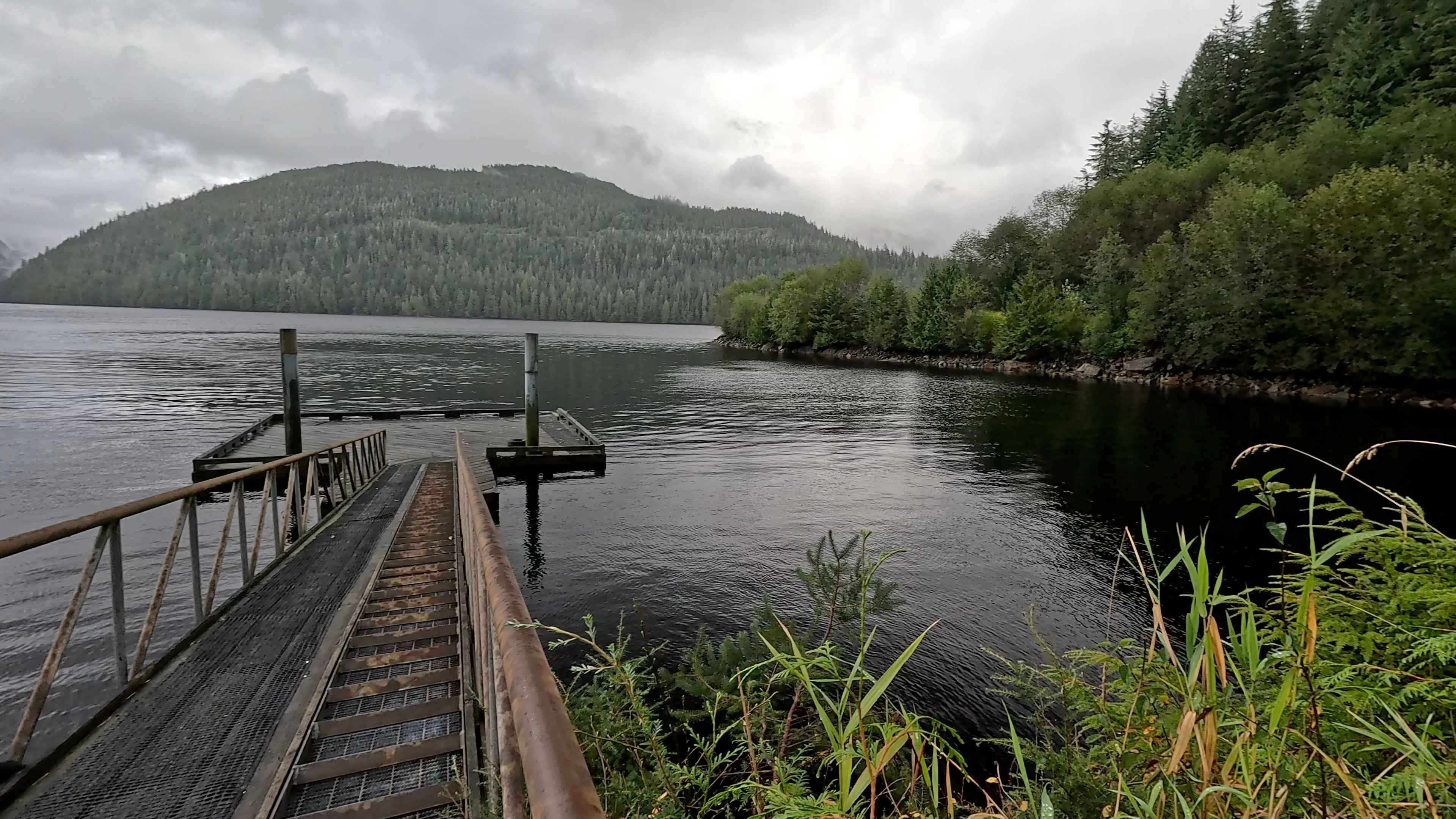
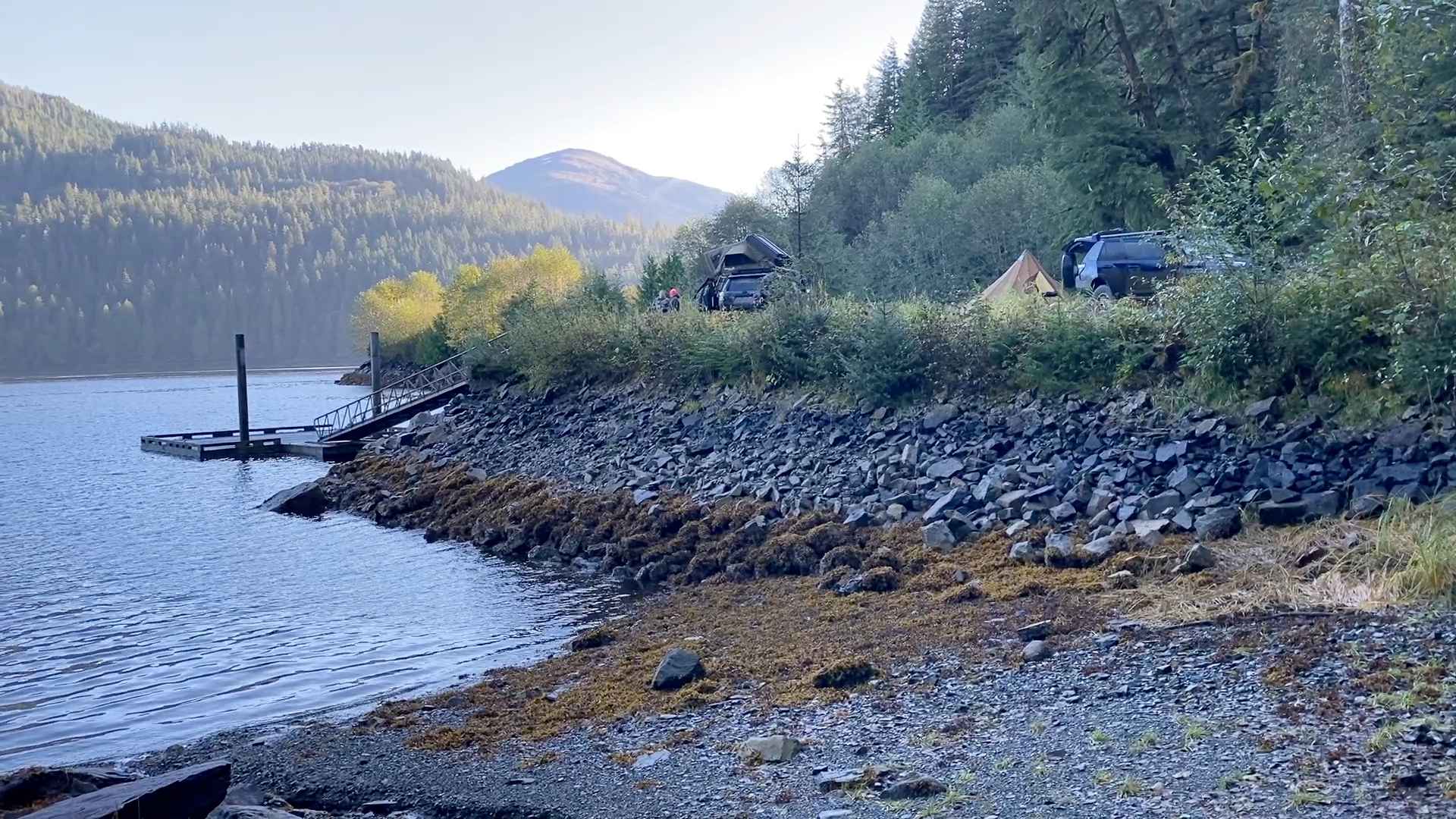
Shelter Cove section 2 connects to Shelter Cove section 1 with Shelter Cove (Spur road). Shelter Cove Road 2 is a one-lane, hilly, tree-lined, windy, gravel road with potholes and some pull-out areas for passing. There is a nice new wooden bridge at the start, and the road winds around lakes with great views and pull-off spots. There is a Logger Memorial at one of the pull-off areas. This road goes right to Shelter Cove, where there is a Forest Service Dock, a boat ramp, and a turnaround area where you can park and have access to the ocean. There is also a nice hiking trail. Wildlife in this area includes deer, black bears, marine life, salamanders, eagles, and mountain goats have been seen on or near this road. A large variety of Trees, shrubs, berries, mushrooms, moss, and lichen along this road. At the end of the road by the dock, there is an old Tidal Fish trap built by the Tlingit in Ketchikan. This area is unique and peaceful with beautiful panoramas and access to the shoreline. There is a spur road that has possible camping areas. Due to the recent landslides and the look of the hillside, we would suggest verifying the area is safe before camping here. Be safety-minded if camping or hiking in this area. Watch for Bears and wildlife.
Photos of Shelter Cove Road (Section 2)
Difficulty
This is an easy gravel road with some potholes, but it is one lane, and you will need to watch for oncoming vehicles and use pull-off areas to let vehicles pass. Watch out for logging trucks.
History
There is an old Tidal Fish trap built by Tlingit in Ketchikan near the Dock that is visible at low tide.
Status Reports
Shelter Cove Road (Section 2) can be accessed by the following ride types:
- High-Clearance 4x4
- SUV
- SxS (60")
- ATV (50")
- Dirt Bike
Shelter Cove Road (Section 2) Map
Popular Trails
Gunsight Mountain

Woodpecker Road 6245

The onX Offroad Difference
onX Offroad combines trail photos, descriptions, difficulty ratings, width restrictions, seasonality, and more in a user-friendly interface. Available on all devices, with offline access and full compatibility with CarPlay and Android Auto. Discover what you’re missing today!