Wilbur Ford Road - FS 109A
Total Miles
4.0
Technical Rating
Best Time
Summer, Fall
Trail Type
Full-Width Road
Accessible By
Trail Overview
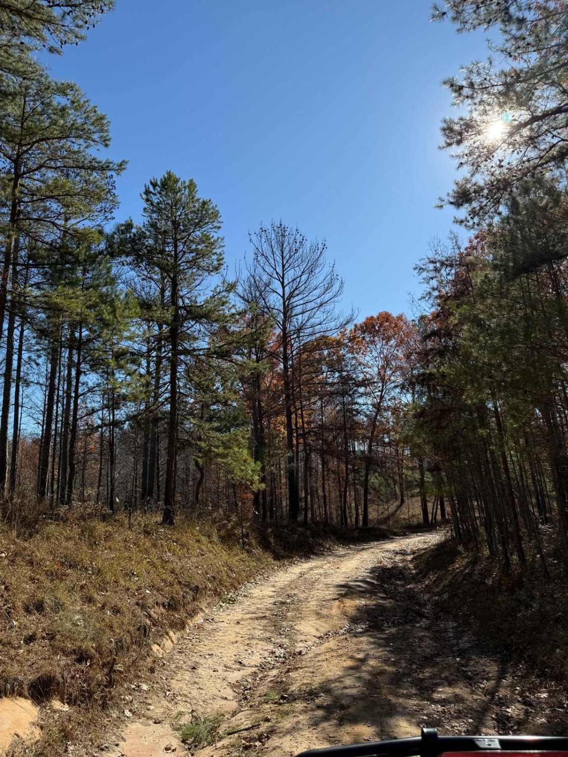
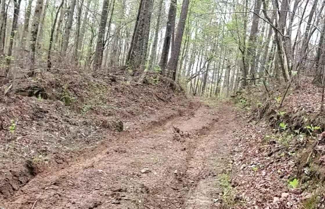
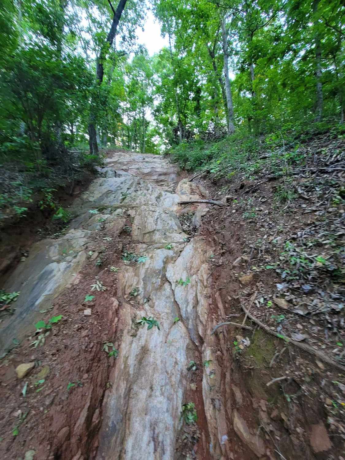
Wilbur Ford Road - FS109A is a two-track road featuring deep ruts and flowing water during the wet season. This trail winds through various cut units and stunning stands of timber, offering a mix of terrain that challenges even experienced off-roaders. The road is narrow and windy, with massive potholes in certain areas, so proceed with caution. Low speeds are recommended, especially in corners, as they can become slick after rain. Many blind corners require extra vigilance, as there's little room for turning out. The trail surface varies between gravel, sand, mud, and dirt when dry, and includes a one-foot step-down. Following the Sissy Fork River, FS109A is not for the faint-hearted. Expect gnarly, off-camber ruts, deep mud holes (often iced over in colder months), and conditions requiring 4x4 capability. It's one of the true off-road challenges in the Bankhead, best suited for seasoned adventurers.
Photos of Wilbur Ford Road - FS 109A

Difficulty
This trail has deep mud holes. The mud holes are very deep, with 24- to 32-inch ruts and off-camber approaches. Water levels can reach up to 24 inches, depending on the season. These conditions are highly seasonally dependent. When dry, this trail remains challenging but is far less technical.
Status Reports
Wilbur Ford Road - FS 109A can be accessed by the following ride types:
- High-Clearance 4x4
- SUV
- SxS (60")
- ATV (50")
- Dirt Bike
Wilbur Ford Road - FS 109A Map
Popular Trails
Reservoir Road (621c)

Tiny Nipples

Copperhead Bypass
Still Hill
The onX Offroad Difference
onX Offroad combines trail photos, descriptions, difficulty ratings, width restrictions, seasonality, and more in a user-friendly interface. Available on all devices, with offline access and full compatibility with CarPlay and Android Auto. Discover what you’re missing today!