Tin Top Ridge
Total Miles
1.0
Technical Rating
Best Time
Spring, Summer, Winter, Fall
Trail Type
Full-Width Road
Accessible By
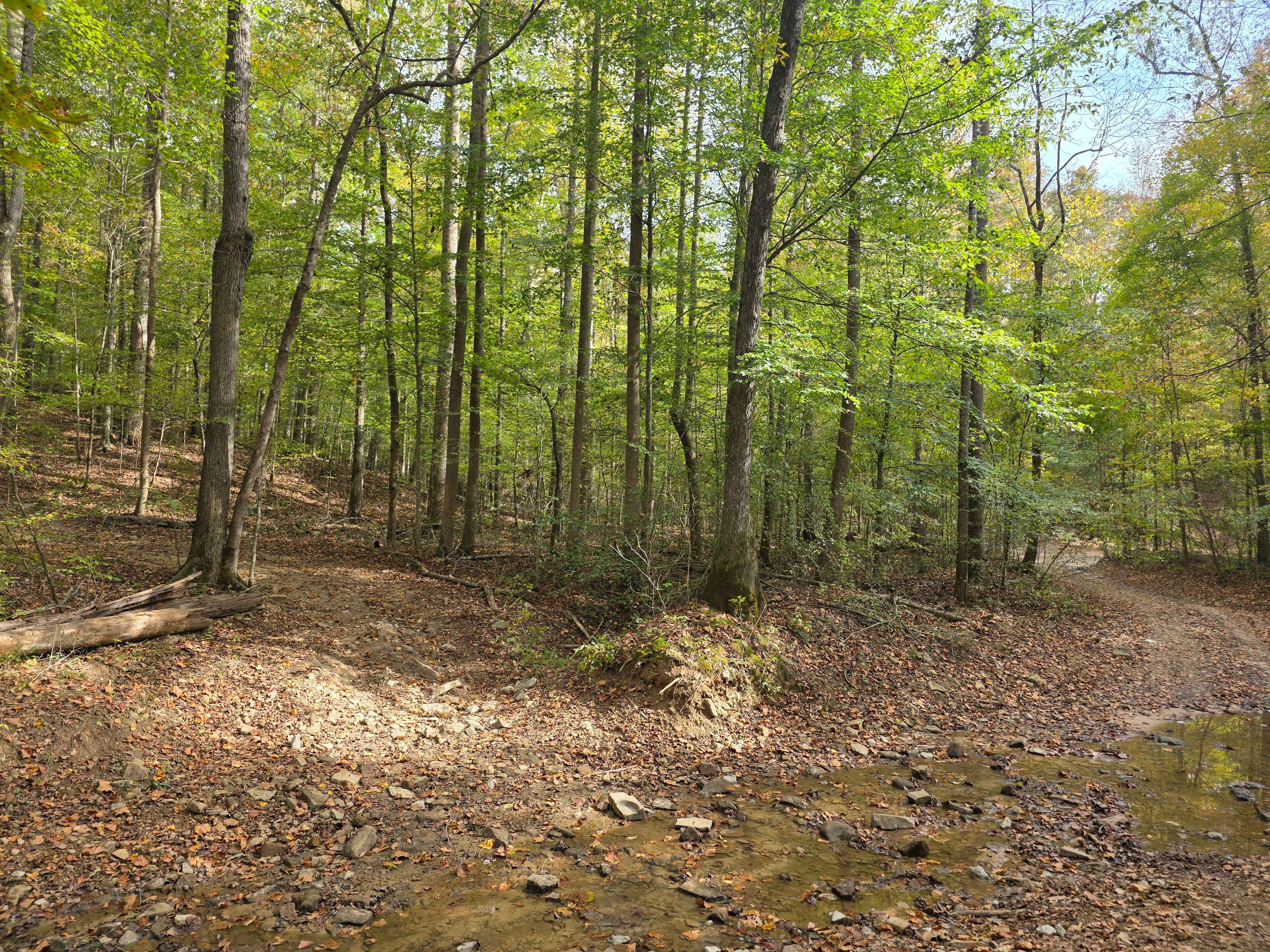
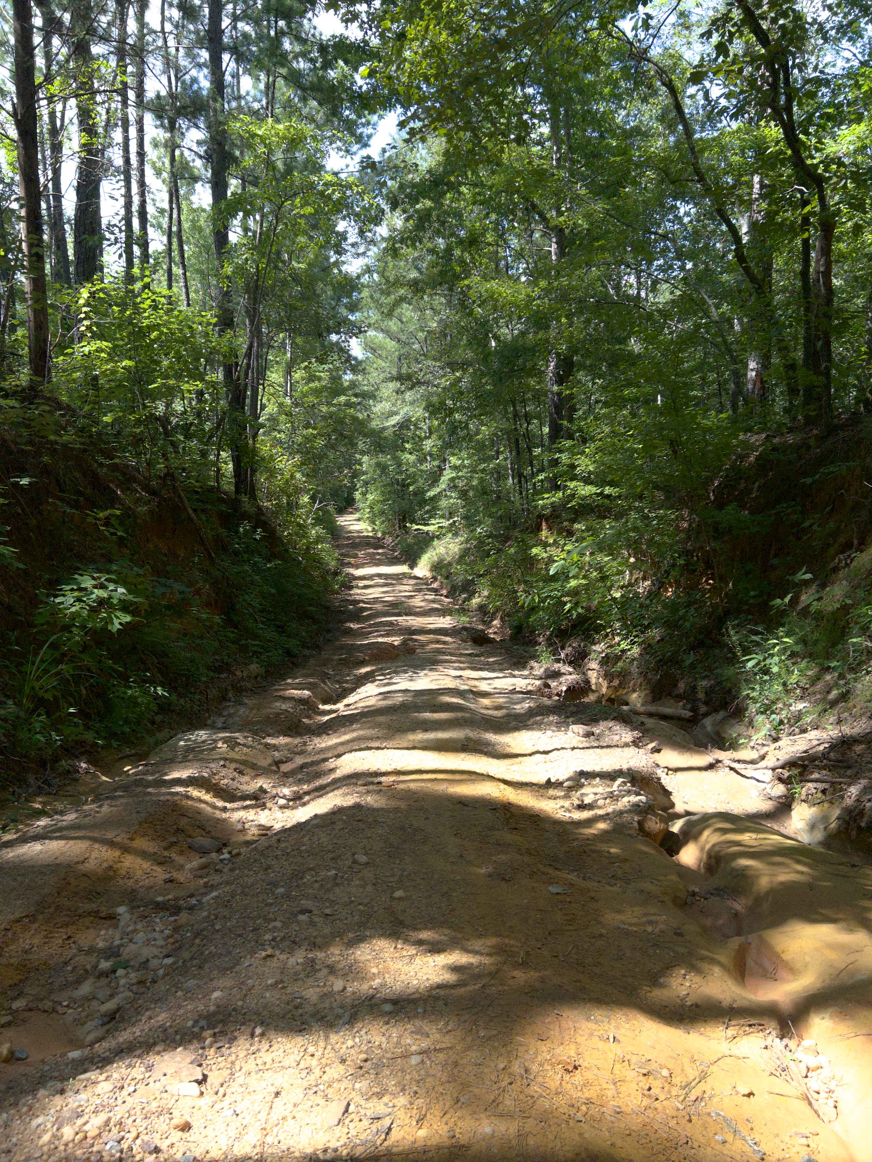
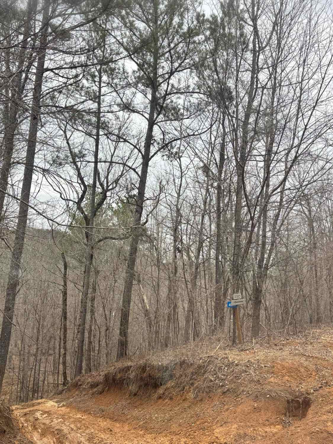
Trail Overview
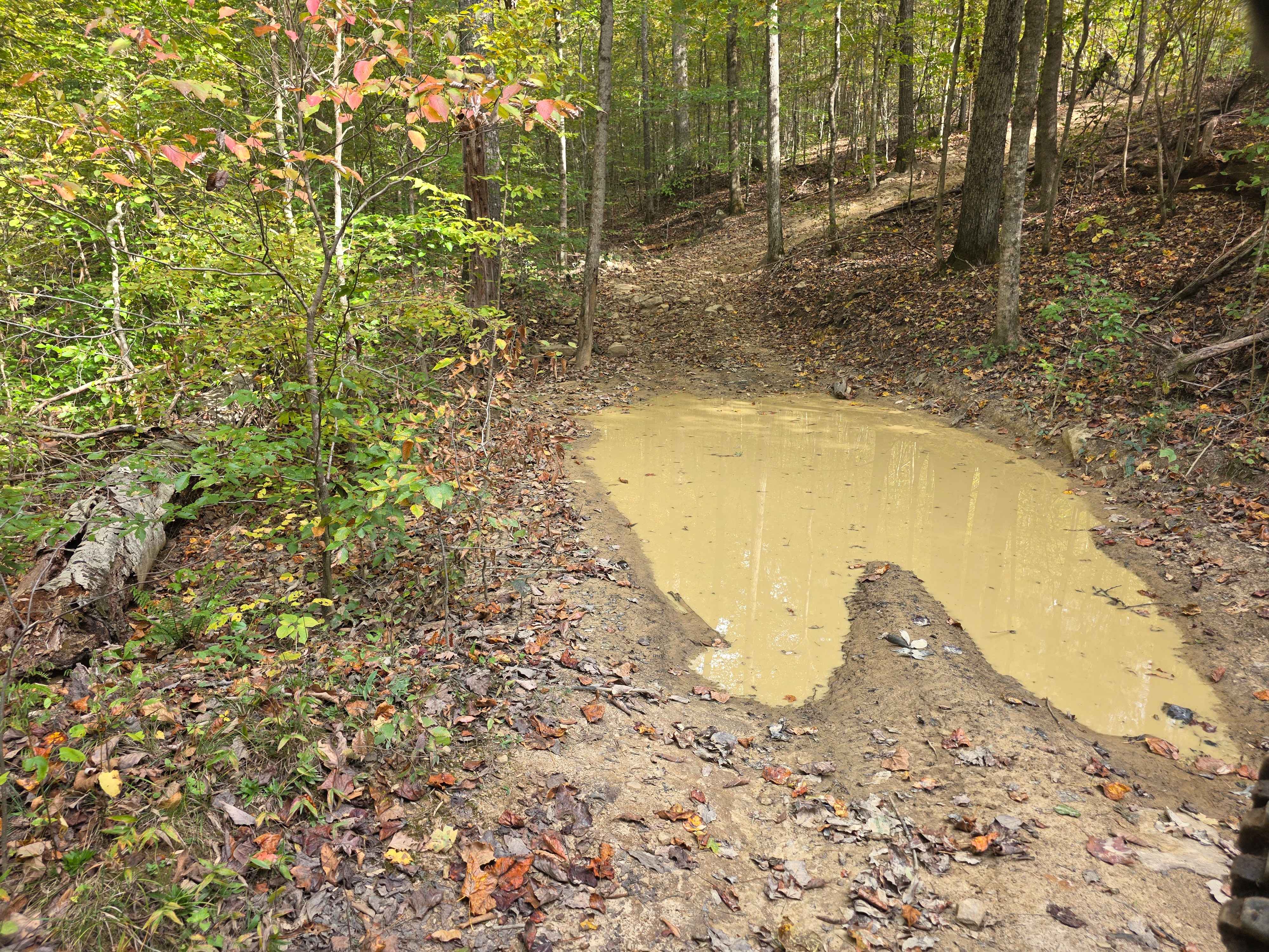
Tin Top Ridge allows you to explore the southernmost tip of the park before you enter the section of Bankhead National Forest. Tin Top Ridge offers erosion arches similar to the earthly architecture you would experience out west. Adjacent to the arches is a massive rock wall that seems unreachable due to its high elevation. This long, continuous run of a trail scurries up and down the mountainside with steep drop-offs and blind turns. The soil is riddled with a lighter colored clay, but offers few difficult sections, other than the grades.
Photos of Tin Top Ridge
Difficulty
Just past the arches going south is a steep drop-off and hillside to go right back up. This section, or short steep grades, could be problematic in the wet season. The mud holes and ruts in this section range from flat to about 15 inches.
History
This trail received its name due to the tin scattered across the ridge from years of storm damage ripping the roofs off of old barns.
Status Reports
Tin Top Ridge can be accessed by the following ride types:
- High-Clearance 4x4
- SUV
- SxS (60")
- ATV (50")
- Dirt Bike
Tin Top Ridge Map
Popular Trails
Jim Foundry Road

Blue Polaris Outfitter Trail
USFSR #500M Sweetwater Lake
The onX Offroad Difference
onX Offroad combines trail photos, descriptions, difficulty ratings, width restrictions, seasonality, and more in a user-friendly interface. Available on all devices, with offline access and full compatibility with CarPlay and Android Auto. Discover what you’re missing today!