USFSR #601 Wiregrass
Total Miles
5.8
Technical Rating
Best Time
Spring, Summer, Fall, Winter
Trail Type
Full-Width Road
Accessible By
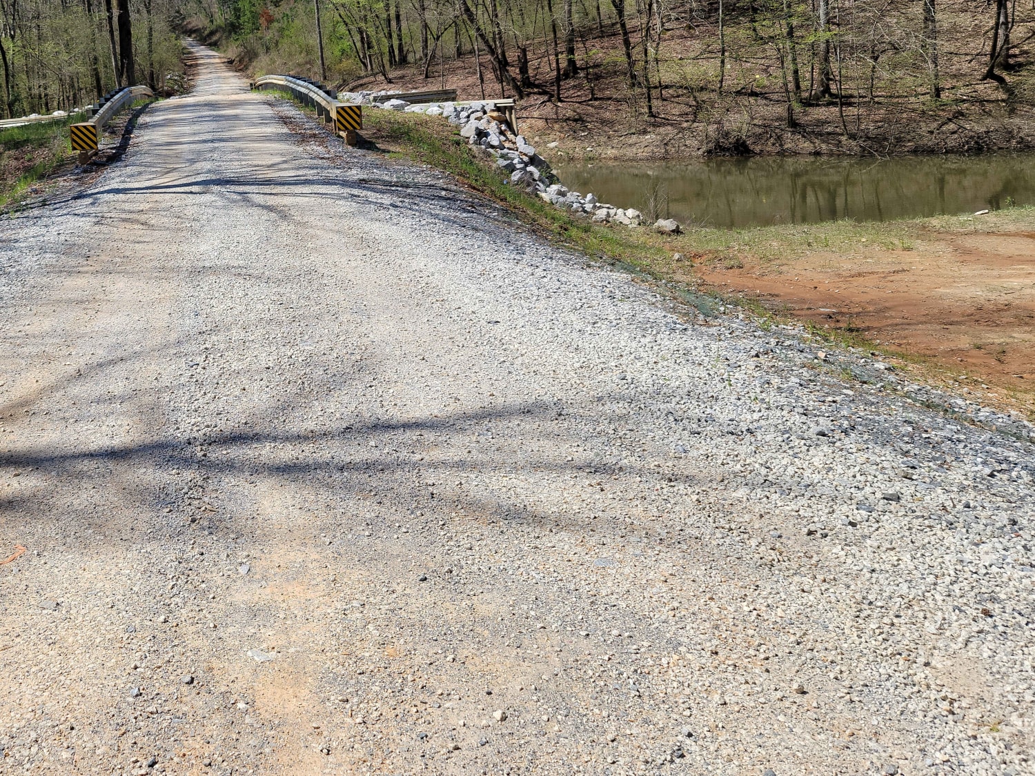
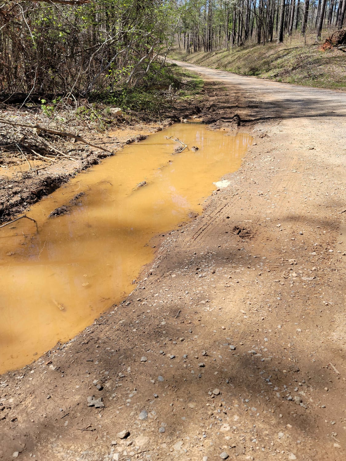
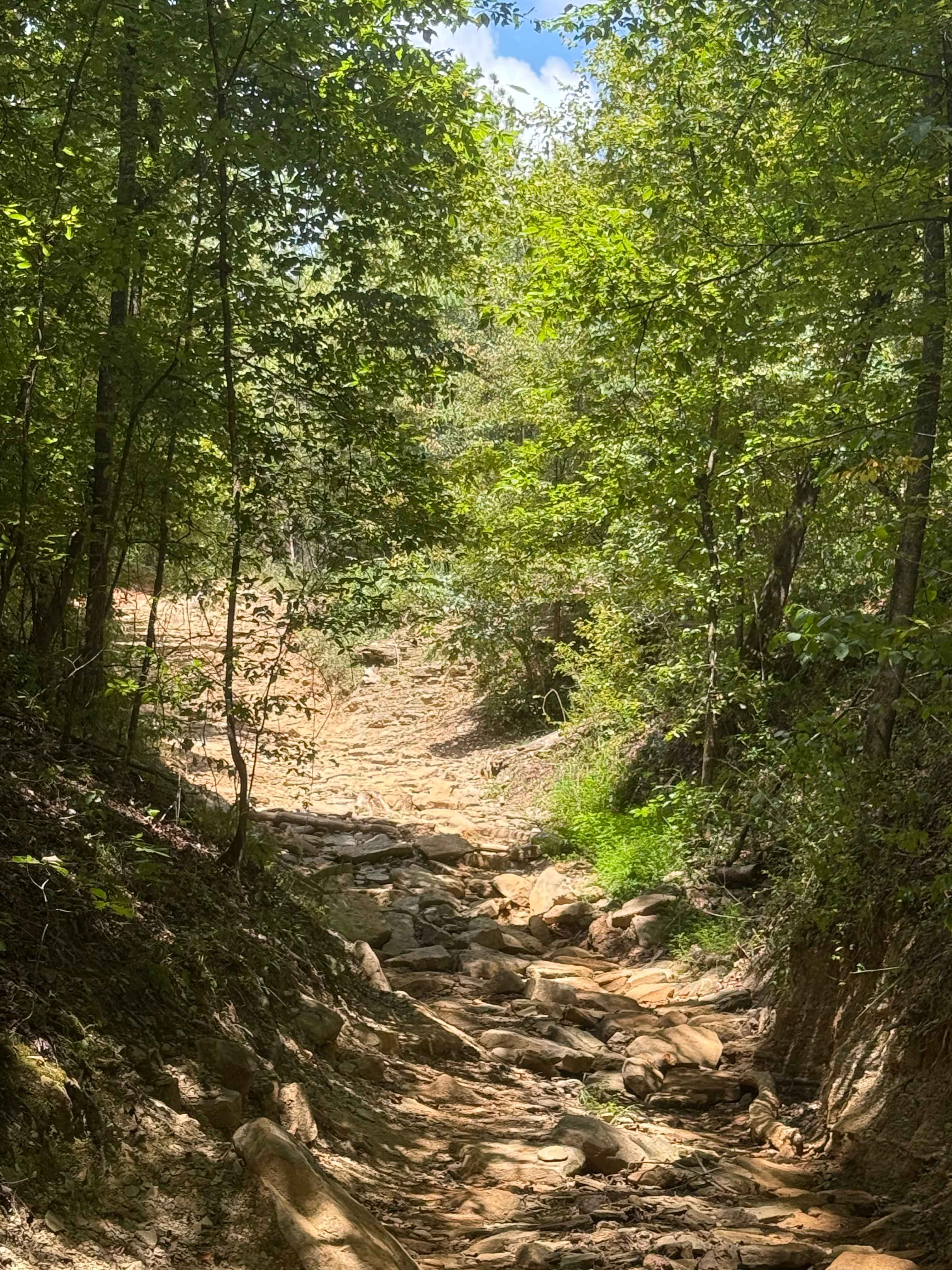
Trail Overview
USFSR #601 Wiregrass begins at the South end on AL 148 just outside of Sylacauga. It is a winding gravel road with shallow mud holes scattered throughout from the various creeks that overflow onto the road, such as Tallaseehatchee Creek and Bulls Creek. It offers a few side trails that will take you to the main body of water on Bulls Creek, which offers a boat launch for those that love to kayak or flat-bottom fishing boats (gas motors not allowed)
Photos of USFSR #601 Wiregrass
Difficulty
Trail is hardpacked enough for a 2WD vehicle, but during heavy rains creeks can overflow causing problems crossing them.
Status Reports
USFSR #601 Wiregrass can be accessed by the following ride types:
- High-Clearance 4x4
- SUV
USFSR #601 Wiregrass Map
Popular Trails
Carsons Corner

Main Access Trail
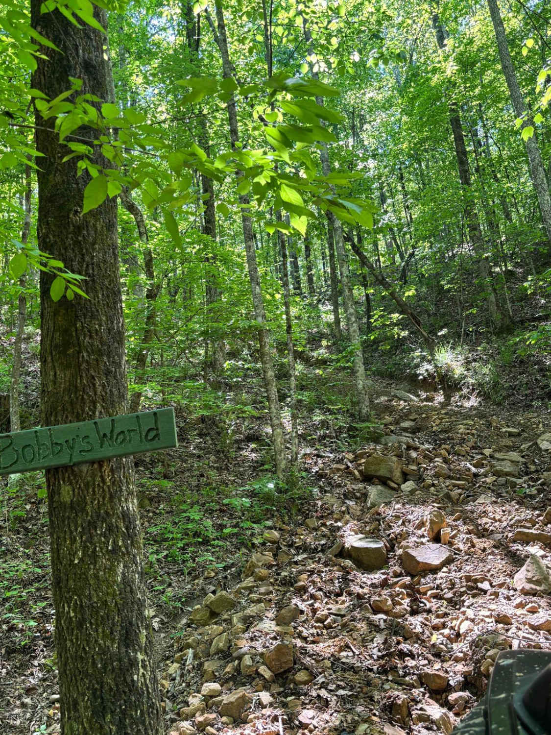
Bobby's World
The onX Offroad Difference
onX Offroad combines trail photos, descriptions, difficulty ratings, width restrictions, seasonality, and more in a user-friendly interface. Available on all devices, with offline access and full compatibility with CarPlay and Android Auto. Discover what you’re missing today!