Hytop
Total Miles
5.3
Technical Rating
Best Time
Winter, Summer
Trail Type
High-Clearance 4x4 Trail
Accessible By
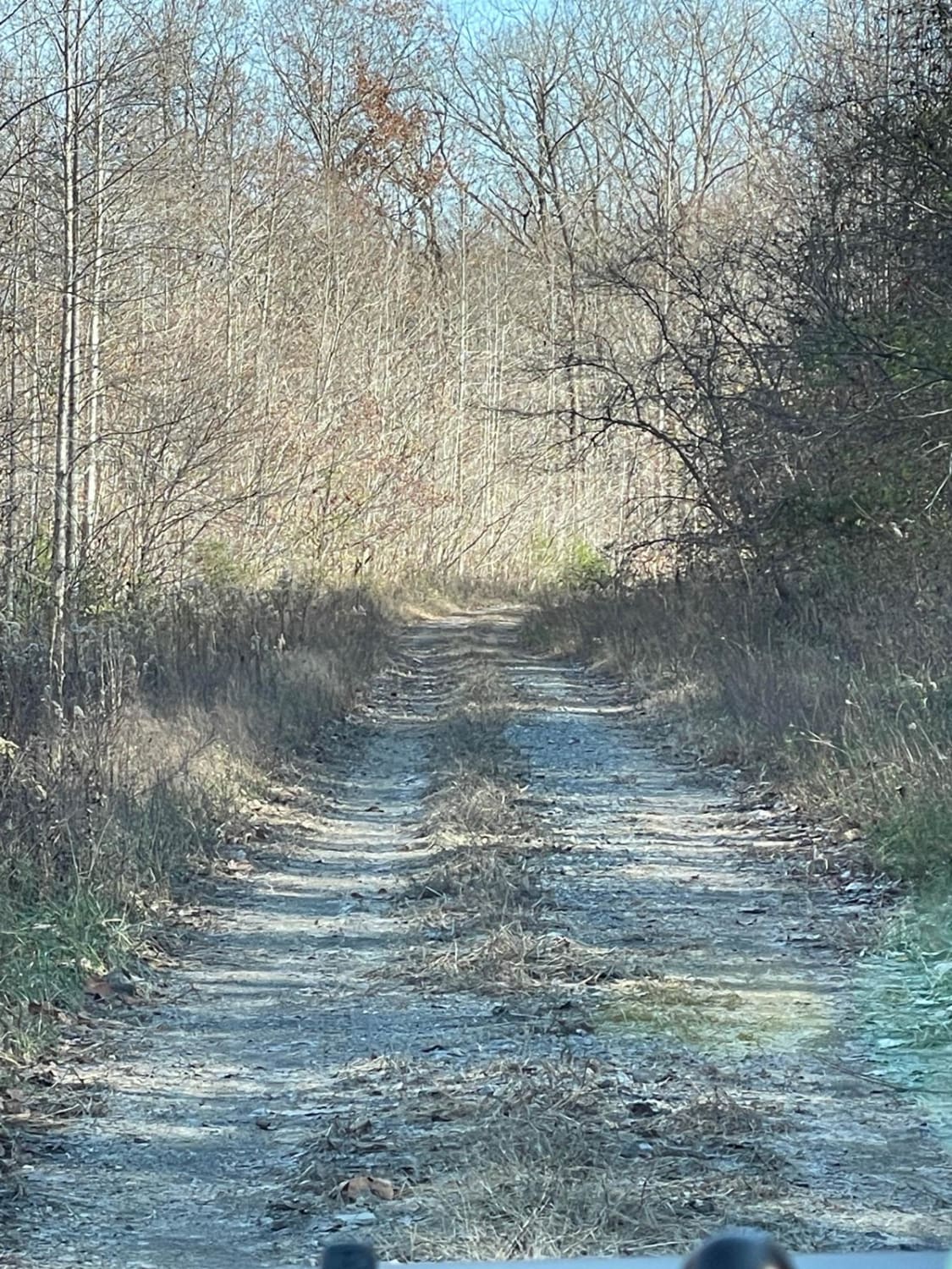
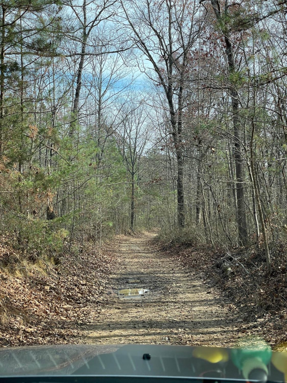
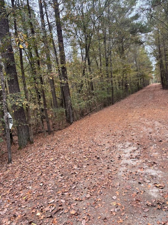
Trail Overview
This trail is best run from east to west but can be run both ways. If ran from east to west, you will come into the Skyline WMA where this track is located. As you enter the area you will come to a fork. Take the left trail and cross the creek. Depending on the time of year there may or may not be water in the creek. As you continue the trail you will come to an area with a steep incline with multiple terrace spots. In the fall or rain seasons, this part can be very difficult due to becoming slick. After the climb, it evens out more and there are many beautiful spots to stop and take pictures or have a picnic. In the end, you will exit through County Road 13 out to the main highway.
Photos of Hytop
Difficulty
This trail overall is a lower intermediate trail with some areas that are harder than the overall trail but nothing than can't be overcome with the right line. During fall and winter months, the area can become slick due to rain and falling leaves.
Status Reports
Hytop can be accessed by the following ride types:
- High-Clearance 4x4
Hytop Map
Popular Trails


Main Access Trail

The onX Offroad Difference
onX Offroad combines trail photos, descriptions, difficulty ratings, width restrictions, seasonality, and more in a user-friendly interface. Available on all devices, with offline access and full compatibility with CarPlay and Android Auto. Discover what you’re missing today!