USFSR #642 Wade Mtwy
Total Miles
1.5
Technical Rating
Best Time
Fall, Winter
Trail Type
Full-Width Road
Accessible By
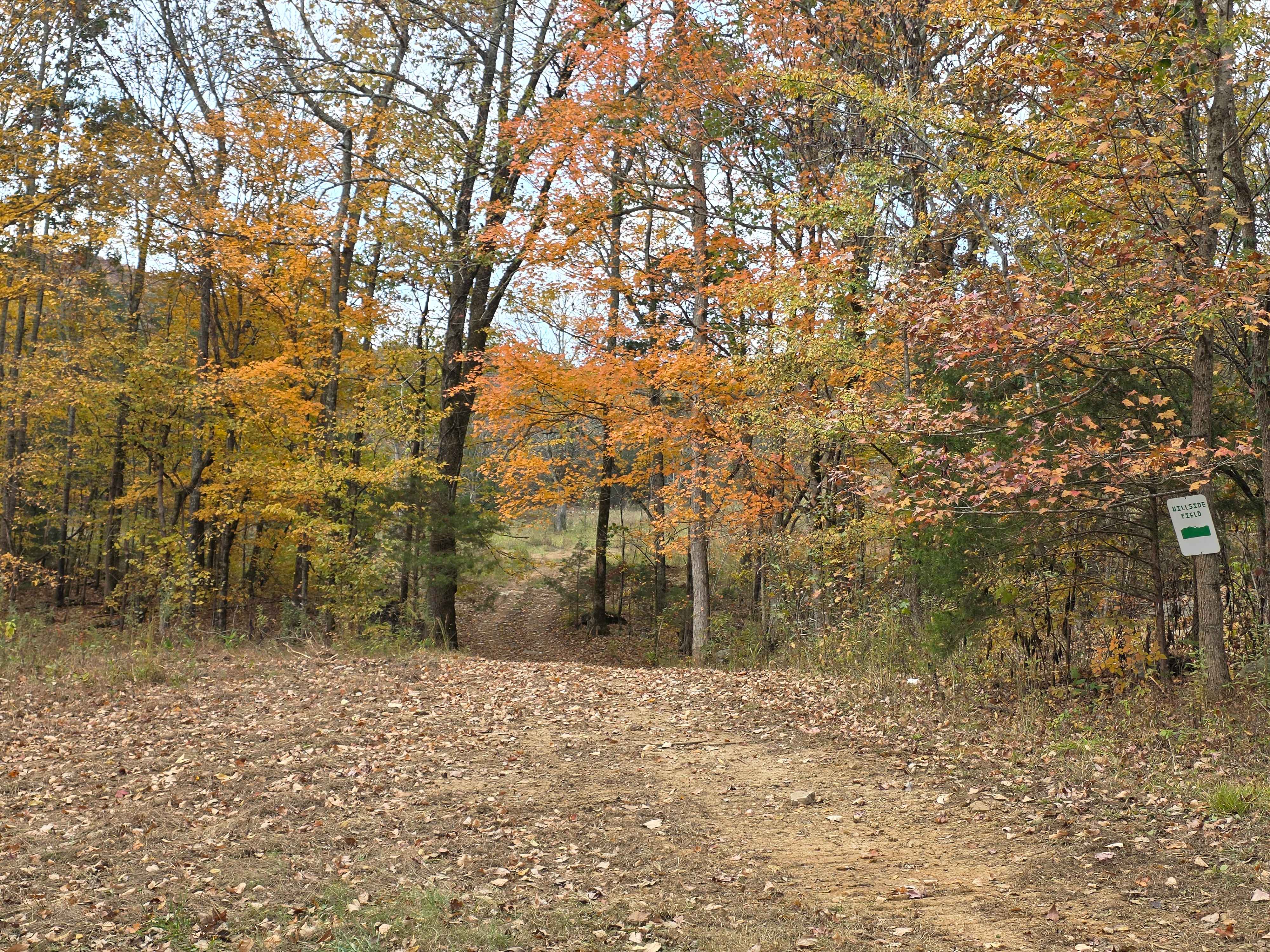
Trail Overview
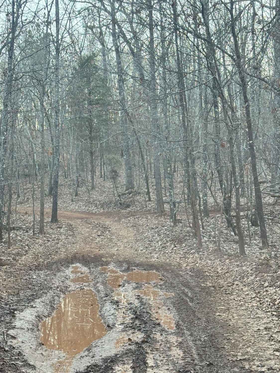
USFSR #642 Wade Mtwy begins on the Easternmost side at USFSR #651 Duck Nest. The entirety of this trail that follows the USFS Motor Vehicle Use Map is an easy trail. It gives beautiful views of Cheaha State Park- Alabama's highest point of elevation. It crosses over the power lines to continue on to two open areas that would be a fitting campsite for those looking to relax. 642 Wade Mtwy does indeed connect to USFS #642K Old Wade Mtwy, however should you choose to go that far, be prepared to bring a winch as it is riddled with giant mud holes with soft bottoms (connector difficulty level 4-5). The connector does not show up on the Motor Vehicle Use Map. 642 is open from 10/02-04/30.
Photos of USFSR #642 Wade Mtwy


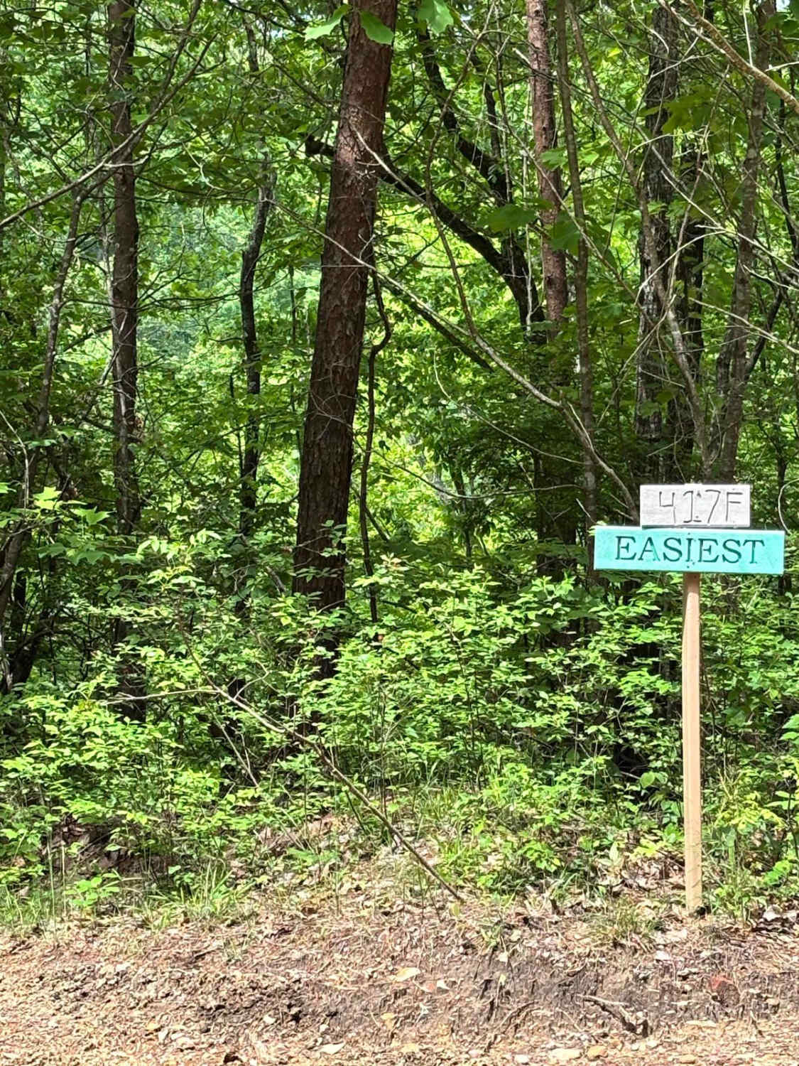
Difficulty
642 is a very easy trail with a few avoidable mud holes, however the connector to 642K is a completely different difficulty at a level 4-5.
Status Reports
USFSR #642 Wade Mtwy can be accessed by the following ride types:
- High-Clearance 4x4
- SUV
USFSR #642 Wade Mtwy Map
Popular Trails

Mountain Access
The onX Offroad Difference
onX Offroad combines trail photos, descriptions, difficulty ratings, width restrictions, seasonality, and more in a user-friendly interface. Available on all devices, with offline access and full compatibility with CarPlay and Android Auto. Discover what you’re missing today!