CR339
Total Miles
5.4
Technical Rating
Best Time
Spring, Summer, Fall, Winter
Trail Type
Full-Width Road
Accessible By
Trail Overview
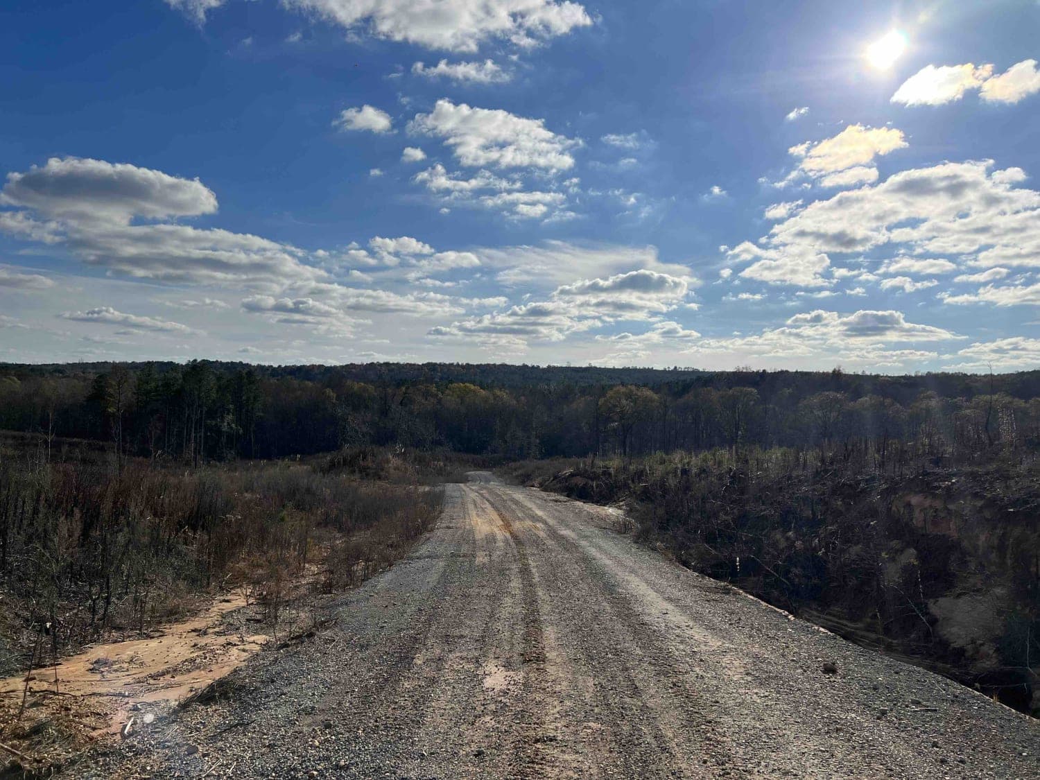
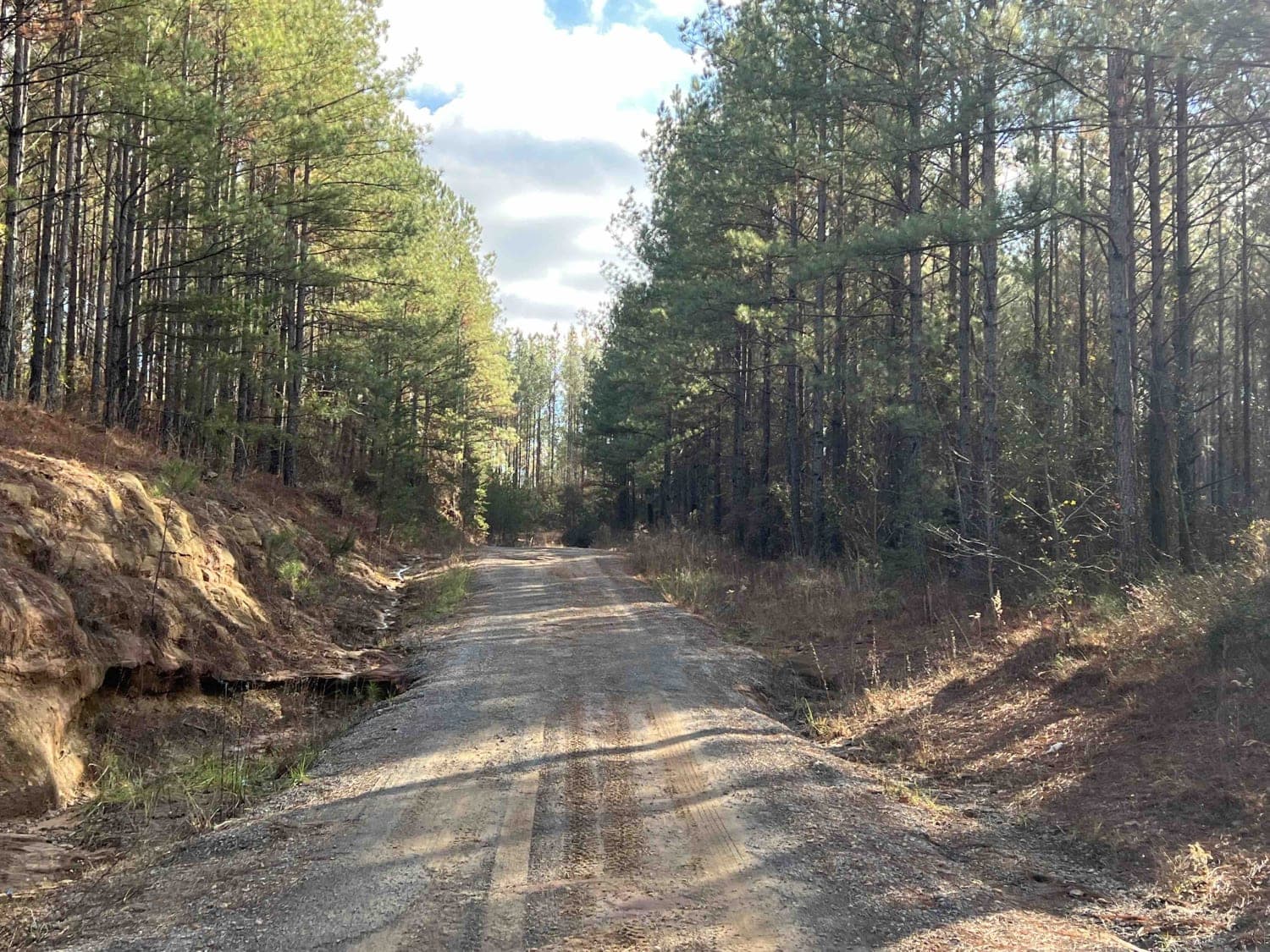
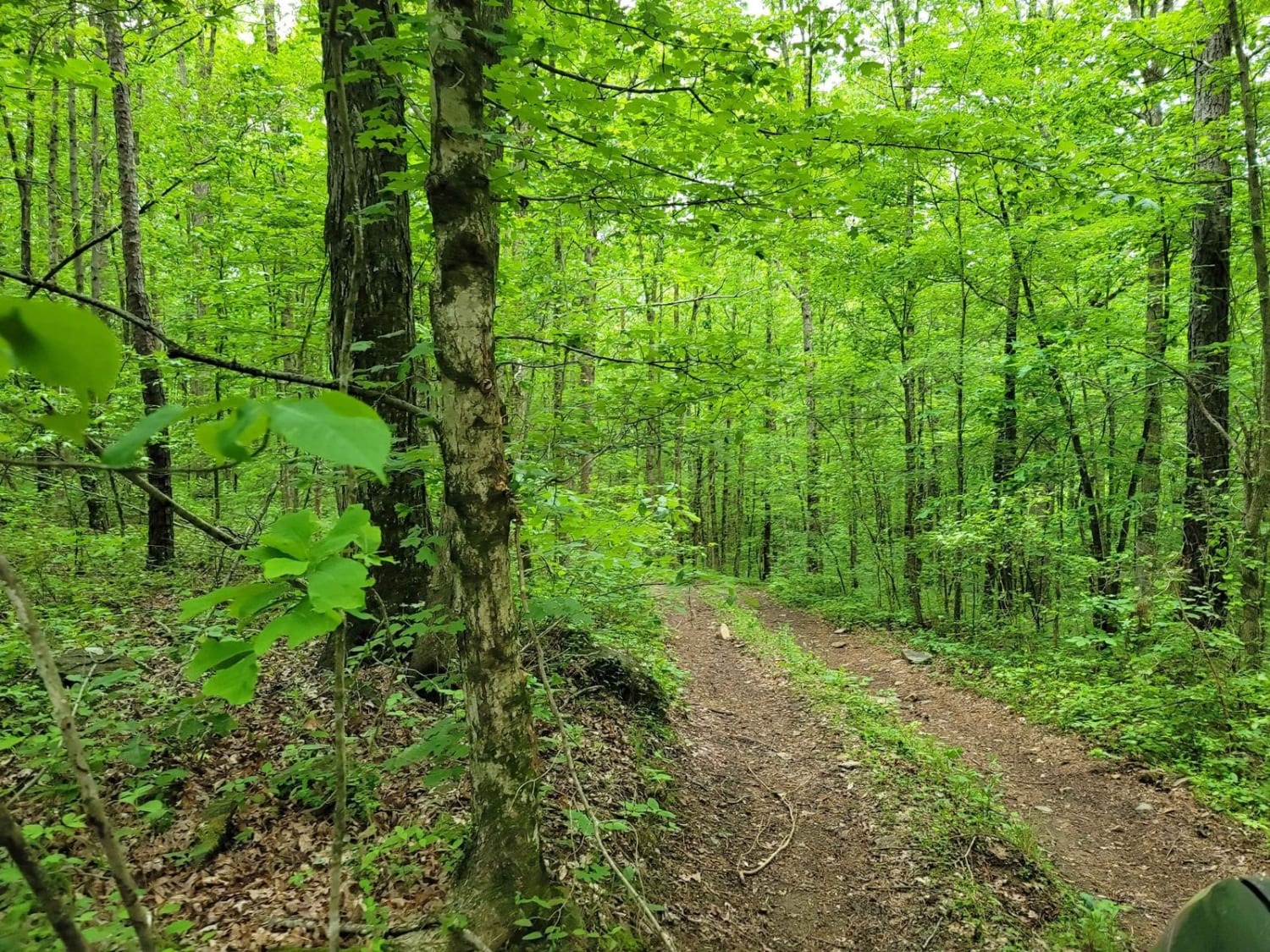
County Road 339 is a somewhat maintained public gravel road that offers great views of the surrounding area for those looking to get off the beaten path. Running from Alabama Highway 5 east to Rocky Plains Road, CR339 winds through prime Alabama Forestland, into creek bottoms, and along ridgetops. Ruts and washouts are common during the rainy months, but the road remains mostly mild. CR339 is mostly used by locals to access private property and it is not uncommon to meet groups of SxS or riders on horseback, especially on the weekends. Caution should be observed during periods of heavy rainfall, as both Splunge Creek and Browns Creek are prone to flooding, which renders the road impassable. Combining CR339, CR429, CR329, and CR333 creates a mostly off-pavement route between Alabama Highways 5 and 195 near Bankhead National Forest.
Photos of CR339
Difficulty
This road is mostly mild.
Status Reports
CR339 can be accessed by the following ride types:
- High-Clearance 4x4
- SUV
- SxS (60")
- ATV (50")
- Dirt Bike
CR339 Map
Popular Trails

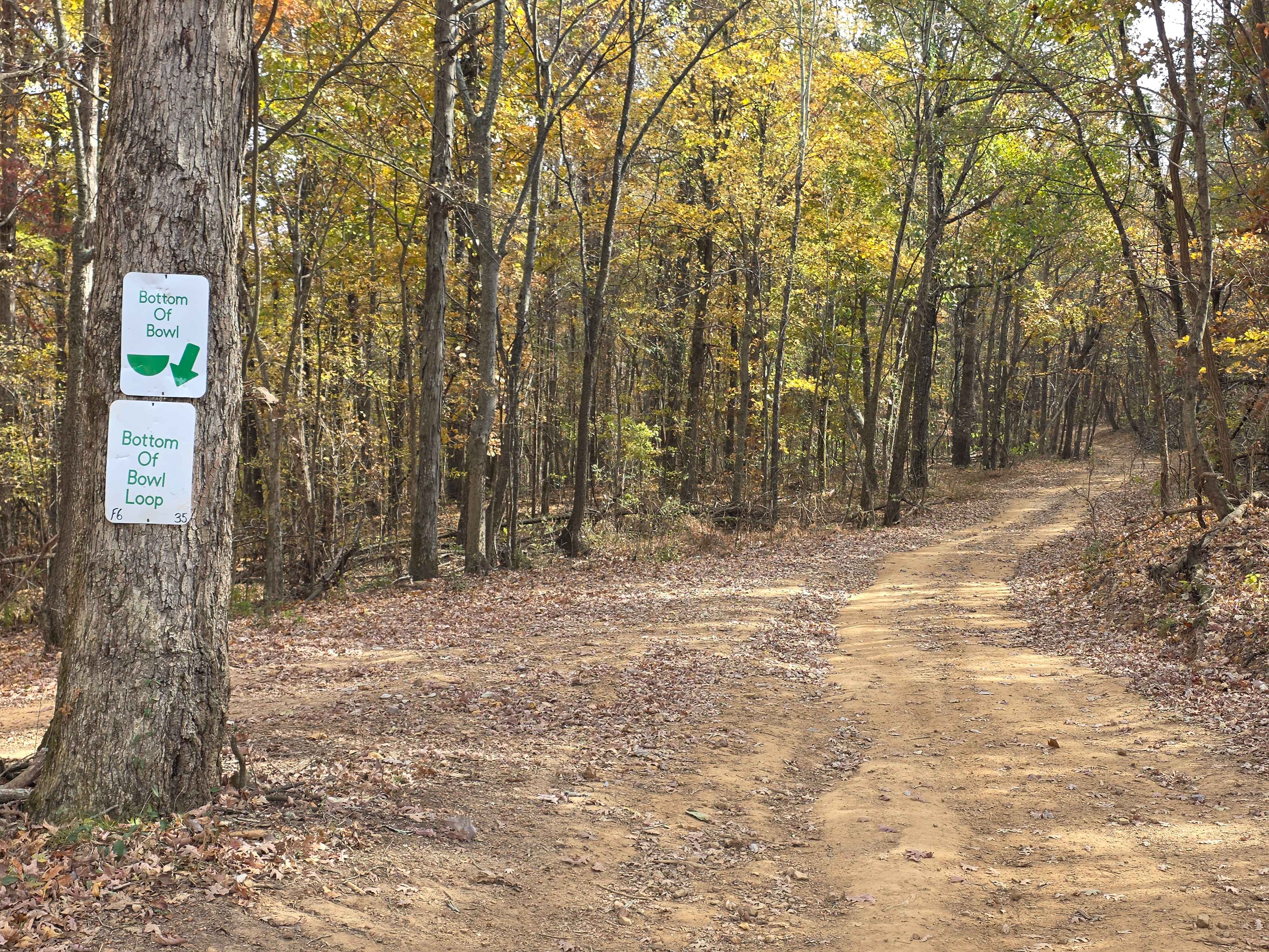
Bottom Of Bowl Loop
Turner Over Bypass
The onX Offroad Difference
onX Offroad combines trail photos, descriptions, difficulty ratings, width restrictions, seasonality, and more in a user-friendly interface. Available on all devices, with offline access and full compatibility with CarPlay and Android Auto. Discover what you’re missing today!